North Spearfish is a census-designated place (CDP) in Lawrence County, South Dakota, United States. The population was 2,366 at the 2020 census.
| Name: | North Spearfish CDP |
|---|---|
| LSAD Code: | 57 |
| LSAD Description: | CDP (suffix) |
| State: | South Dakota |
| County: | Lawrence County |
| Elevation: | 3,645 ft (1,111 m) |
| Total Area: | 4.28 sq mi (11.10 km²) |
| Land Area: | 4.28 sq mi (11.10 km²) |
| Water Area: | 0.00 sq mi (0.00 km²) |
| Total Population: | 2,366 |
| Population Density: | 552.29/sq mi (213.22/km²) |
| Area code: | 605 |
| FIPS code: | 4645715 |
| GNISfeature ID: | 2393154 |
Online Interactive Map
Click on ![]() to view map in "full screen" mode.
to view map in "full screen" mode.
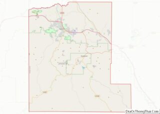
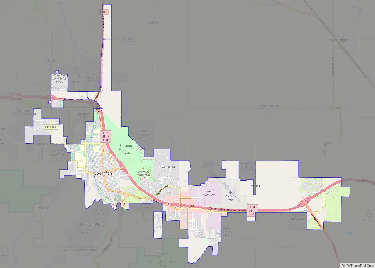
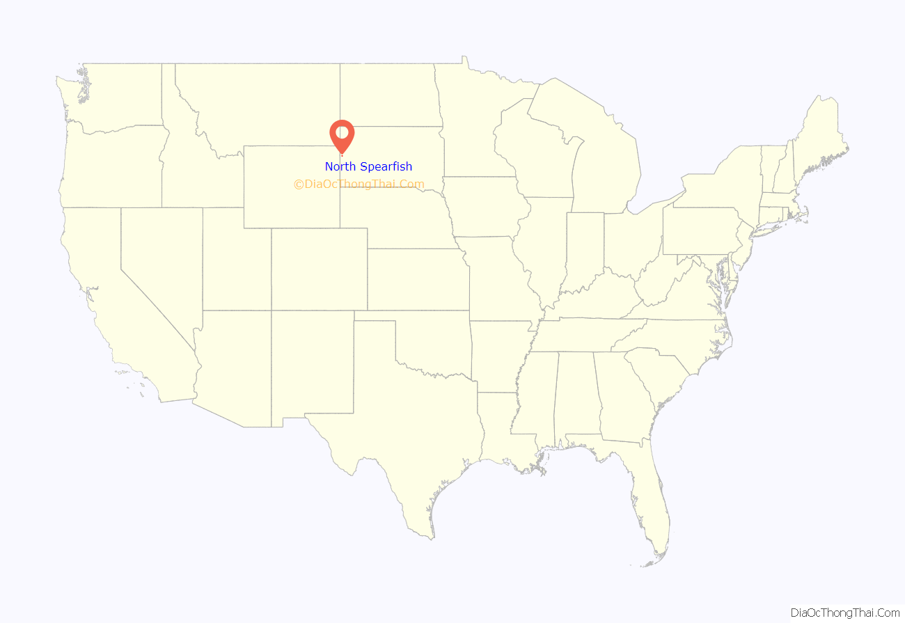
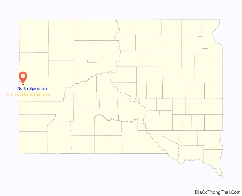
North Spearfish location map. Where is North Spearfish CDP?
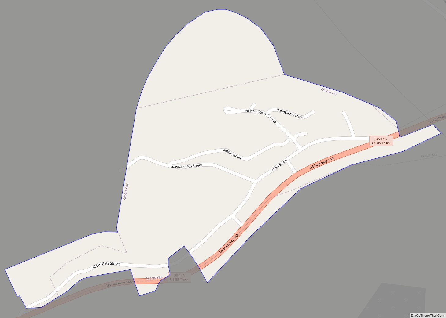
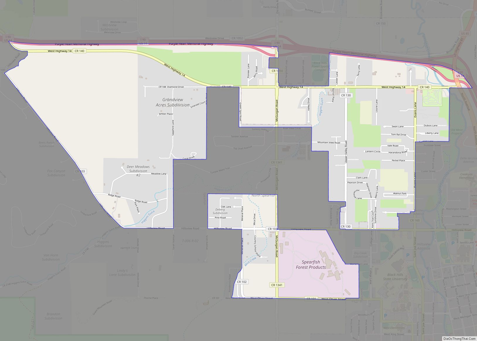
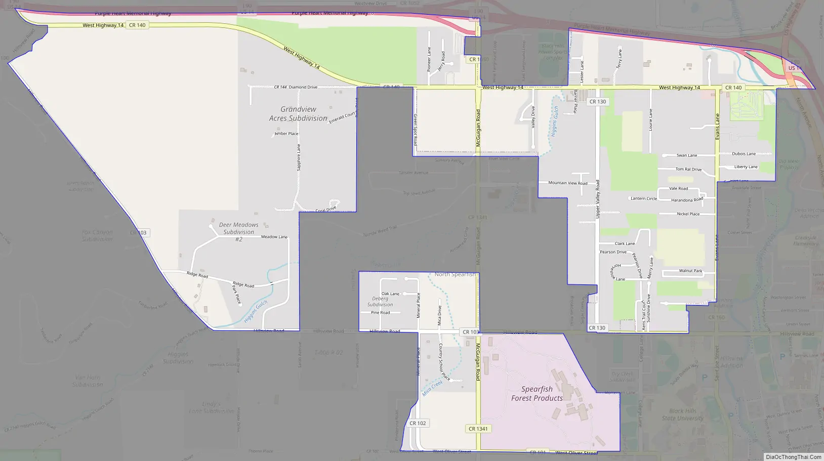
North Spearfish Road Map
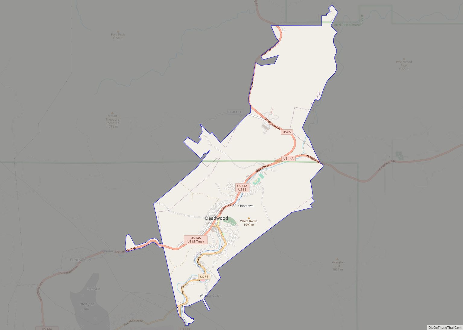
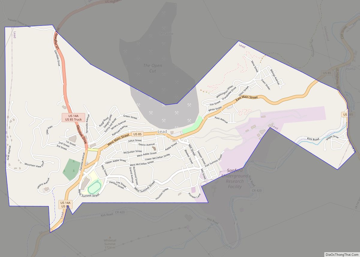
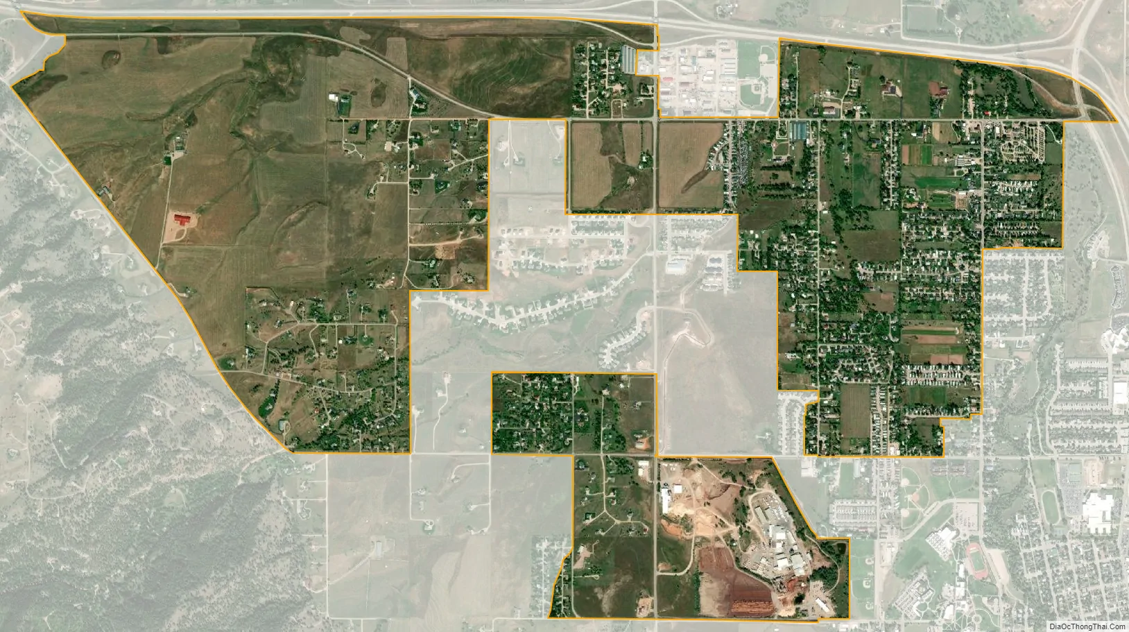
North Spearfish city Satellite Map
Geography
North Spearfish is located in northern Lawrence County at 44°30′29″N 103°53′7″W / 44.50806°N 103.88528°W / 44.50806; -103.88528 (44.507983, -103.885173), on the northwest side of the city of Spearfish, the largest community in the county. Interstate 90 runs along the northern edge of the CDP, with access from Exit 8 (McGuigan Road). I-90 leads southeast 50 miles (80 km) to Rapid City and west 90 miles (140 km) to Gillette, Wyoming. U.S. Route 85 departs from I-90 at the northeast corner of North Spearfish, leading north 10 miles (16 km) to Belle Fourche.
According to the United States Census Bureau, the North Spearfish CDP has a total area of 3.1 square miles (8.0 km), all land. The community drains northward via Higgins Gulch to Spearfish Creek, a north-flowing tributary of the Redwater River, which in turn is a northeast-flowing tributary of the Belle Fourche River, which runs east to the Missouri River.
See also
Map of South Dakota State and its subdivision:- Aurora
- Beadle
- Bennett
- Bon Homme
- Brookings
- Brown
- Brule
- Buffalo
- Butte
- Campbell
- Charles Mix
- Clark
- Clay
- Codington
- Corson
- Custer
- Davison
- Day
- Deuel
- Dewey
- Douglas
- Edmunds
- Fall River
- Faulk
- Grant
- Gregory
- Haakon
- Hamlin
- Hand
- Hanson
- Harding
- Hughes
- Hutchinson
- Hyde
- Jackson
- Jerauld
- Jones
- Kingsbury
- Lake
- Lawrence
- Lincoln
- Lyman
- Marshall
- McCook
- McPherson
- Meade
- Mellette
- Miner
- Minnehaha
- Moody
- Pennington
- Perkins
- Potter
- Roberts
- Sanborn
- Shannon
- Spink
- Stanley
- Sully
- Todd
- Tripp
- Turner
- Union
- Walworth
- Yankton
- Ziebach
- Alabama
- Alaska
- Arizona
- Arkansas
- California
- Colorado
- Connecticut
- Delaware
- District of Columbia
- Florida
- Georgia
- Hawaii
- Idaho
- Illinois
- Indiana
- Iowa
- Kansas
- Kentucky
- Louisiana
- Maine
- Maryland
- Massachusetts
- Michigan
- Minnesota
- Mississippi
- Missouri
- Montana
- Nebraska
- Nevada
- New Hampshire
- New Jersey
- New Mexico
- New York
- North Carolina
- North Dakota
- Ohio
- Oklahoma
- Oregon
- Pennsylvania
- Rhode Island
- South Carolina
- South Dakota
- Tennessee
- Texas
- Utah
- Vermont
- Virginia
- Washington
- West Virginia
- Wisconsin
- Wyoming