Cedarburg is a city in Ozaukee County, Wisconsin, United States. Located about 20 miles (32 km) north of Milwaukee and in close proximity to Interstate 43, it is a suburban community in the Milwaukee metropolitan area. The city incorporated in 1885, and at the time of the 2020 census the population was 12,121.
Like many of Ozaukee County’s cities and villages, the City of Cedarburg began as a mill town. German immigrants began building hydropowered gristmills and woolen mills along Cedar Creek in the 1840s. The community that sprang up around the mills is now downtown Cedarburg. The city was distinctly German into the early 20th century, with several Lutheran churches, a brewery, a European-style spa resort called Hilgen Spring Park, and many German cultural associations, including two Turner societies.
Cedarburg changed significantly during the period of post-World War II suburbanization. While the mills had all closed by the 1960s, the city experienced rapid population growth and the development of new commercial properties and housing subdivisions. In spite of the changes, more than 200 of Cedarburg’s historic buildings have been preserved, and the city is home to eight listings on the National Register of Historic Places. The community profits from a vibrant tourist industry and hosts festivals and events throughout the year that attract visitors from other areas.
| Name: | Cedarburg city |
|---|---|
| LSAD Code: | 25 |
| LSAD Description: | city (suffix) |
| State: | Wisconsin |
| County: | Ozaukee County |
| Incorporated: | 1885; 138 years ago (1885) |
| Elevation: | 784 ft (239 m) |
| Total Area: | 4.88 sq mi (12.65 km²) |
| Land Area: | 4.84 sq mi (12.52 km²) |
| Water Area: | 0.05 sq mi (0.12 km²) |
| Total Population: | 12,121 |
| Population Density: | 2,399.30/sq mi (926.40/km²) |
| Area code: | 262 |
| FIPS code: | 5513375 |
| GNISfeature ID: | 1562869 |
| Website: | ci.cedarburg.wi.us |
Online Interactive Map
Click on ![]() to view map in "full screen" mode.
to view map in "full screen" mode.
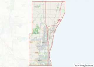
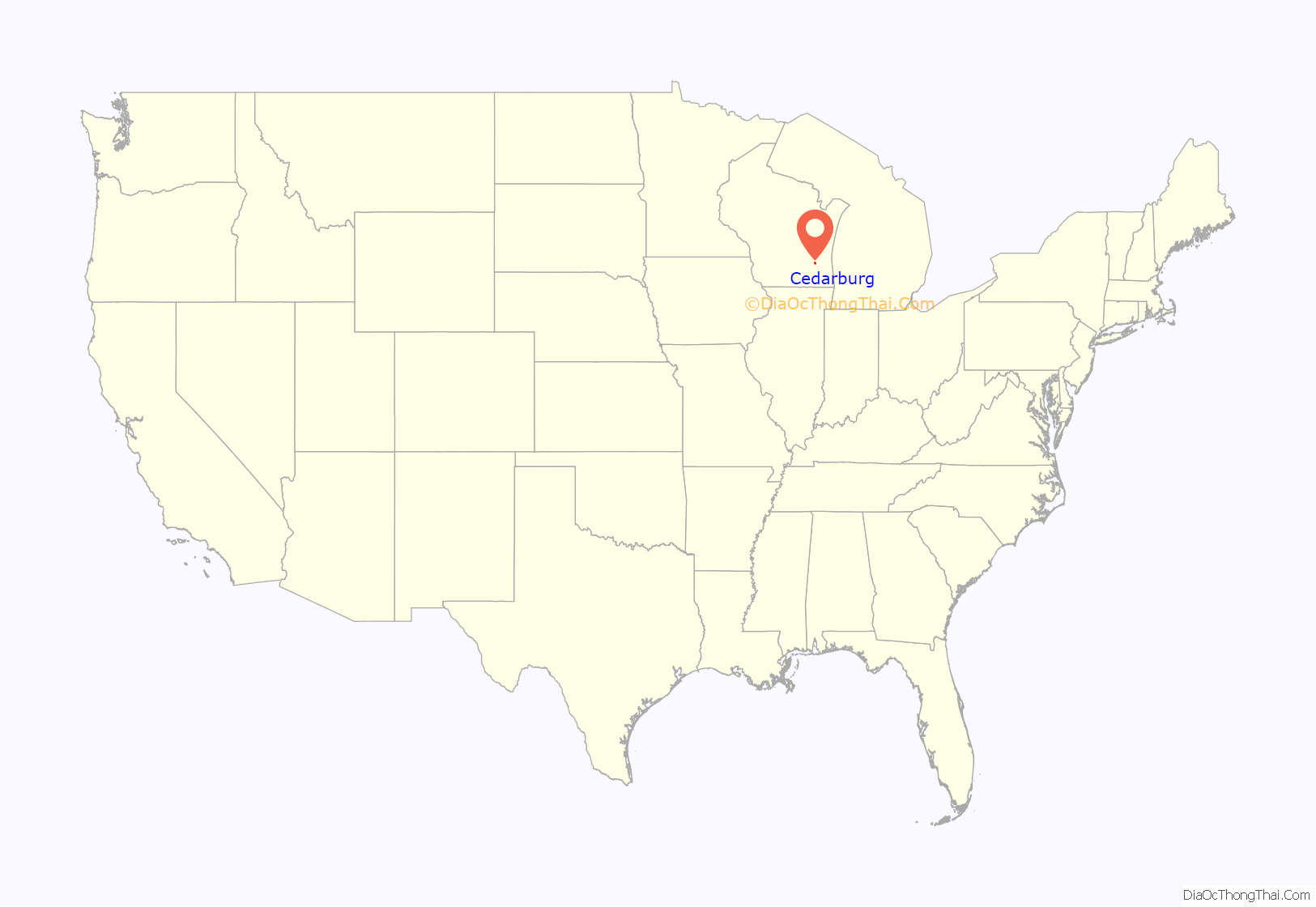
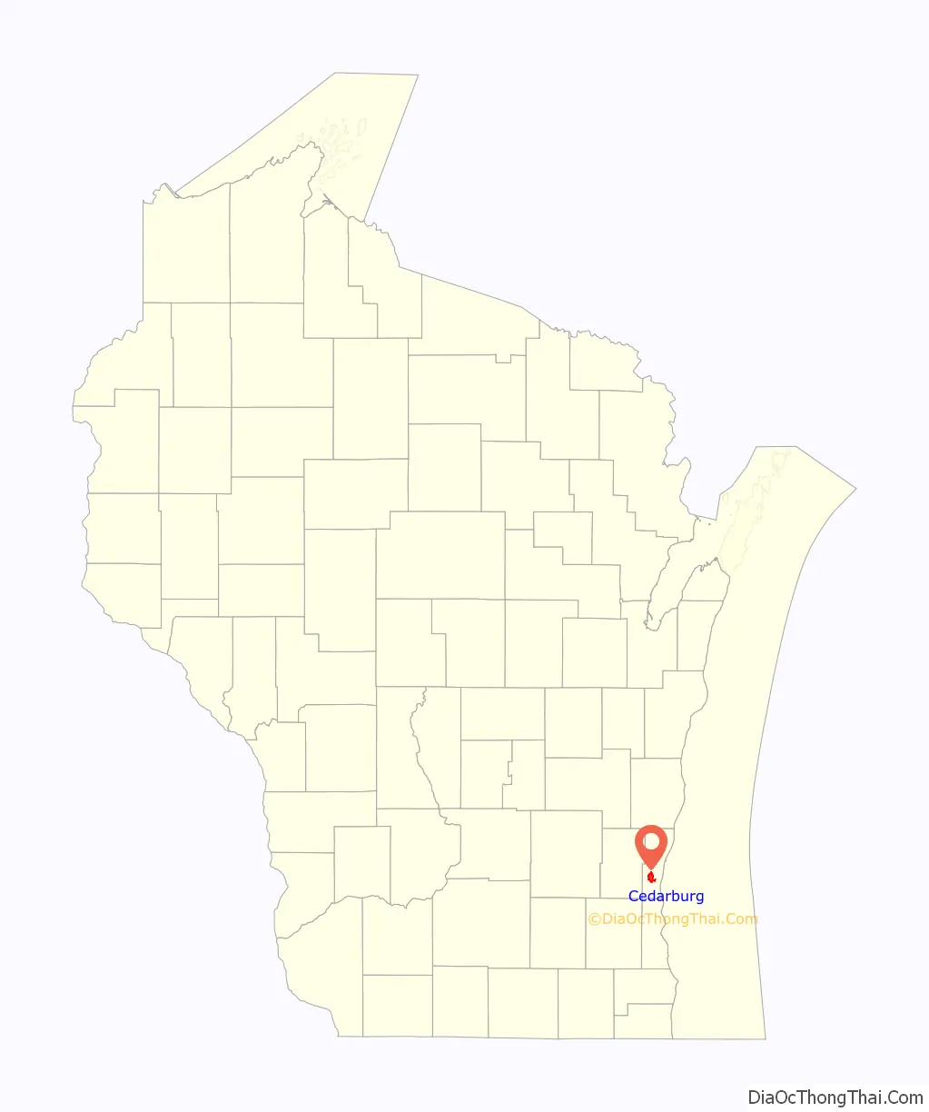
Cedarburg location map. Where is Cedarburg city?
History
The earliest evidence of humans in the Cedarburg area is the Hilgen Spring Mound Site, located in the eastern part of the city of Cedarburg, near Cedar Creek. The site consists of three conical burial mounds constructed by early Woodland period Mound Builders. In 1968, archaeologists from the Milwaukee Public Museum found human burials and artifacts, including stone altars, arrowheads, and pottery shards, during an excavation of one of the mounds. Radiocarbon samples from the excavation date the mounds’ construction to approximately 480 BCE, making it one of the oldest mound groups in the state.
In the early 19th century, the land was inhabited by Native Americans, including the Potawatomi and Sauk tribes. The Potawatomi surrendered the land the United States Federal Government in 1833 through the 1833 Treaty of Chicago, which (after being ratified in 1835) required them to leave Wisconsin by 1838. While many Native people moved west of the Mississippi River to Kansas, some chose to remain, and were referred to as “strolling Potawatomi” in contemporary documents because many of them were migrants who subsisted by squatting on their ancestral lands which were now owned by white settlers. Eventually the Native people who evaded forced removal gathered in northern Wisconsin, where they formed the Forest County Potawatomi Community.
The first white settlement in the Cedarburg area was a community called “New Dublin,” which later became Hamilton in the town of Cedarburg. The first resident was Joseph Gardenier, who built a log shanty on Cedar Creek as his headquarters for surveying for the construction of the Green Bay Road. In 1848, Hamilton became the first stop on the stagecoach route between Milwaukee and Green Bay.
Most of Cedarburg’s early settlers were German immigrants. Ludwig Wilhelm Groth is usually credited with being the first settler of Cedarburg. He purchased land from the government on October 22, 1842, and began platting the banks of Cedar Creek. In 1845, Frederick Hilgen and William Schroeder built a wooden gristmill on Cedar Creek. After eleven years of operation, they replaced the original structure with the five-story, stone Cedarburg Mill, which became the focal point of the new community. Five dams and mills were eventually built along the creek in what are now the city and town of Cedarburg, including the 1864 Hilgen and Wittenberg Woolen Mill, which was the largest woolen mill west of Philadelphia.
In 1870, the Milwaukee and Northern Railway connected Cedarburg to Milwaukee. By 1873 the rail line extended from Milwaukee to Green Bay, connecting Cedarburg and other small communities to larger markets. Cedarburg continued to grow and prosper due to its rail connections, while the surrounding communities of Hamilton, Decker Corner and Horns Corners remained more characteristically rural. Cedarburg incorporated in 1885. At the time, the population was approximately 1,000 people.
In 1897, the woolen mill purchased an electrical generator, which produced the first electric light in the town. In 1901, the city contracted an electric plant with steam engines running two 75 kW generators, and in 1909 the Cedarburg Electric Light Commission was formed to run the utility. In 1923, responsibility for water and sewerage was given to the utility, and it was renamed the Light & Water Commission. The utility is still in business today, and is one of 82 municipally owned electric utilities in Wisconsin.
In 1907, Cedarburg became a stop on the Milwaukee-Northern interurban passenger line. The company operated an office and shop in Cedarburg into the 1920s, when it was purchased by The Milwaukee Electric Railway and Light Company. The company continued passenger rail service to Cedarburg until 1948, when the Ozaukee County line declined due to increased use of personal automobiles and better roads.
Cedarburg grew rapidly during the post-war suburbanization and economic prosperity. The population increased by more than 84% between 1950 and 1960, from 2,810 to 5,191. This period of population growth witnessed the growth of new industries and housing developments.
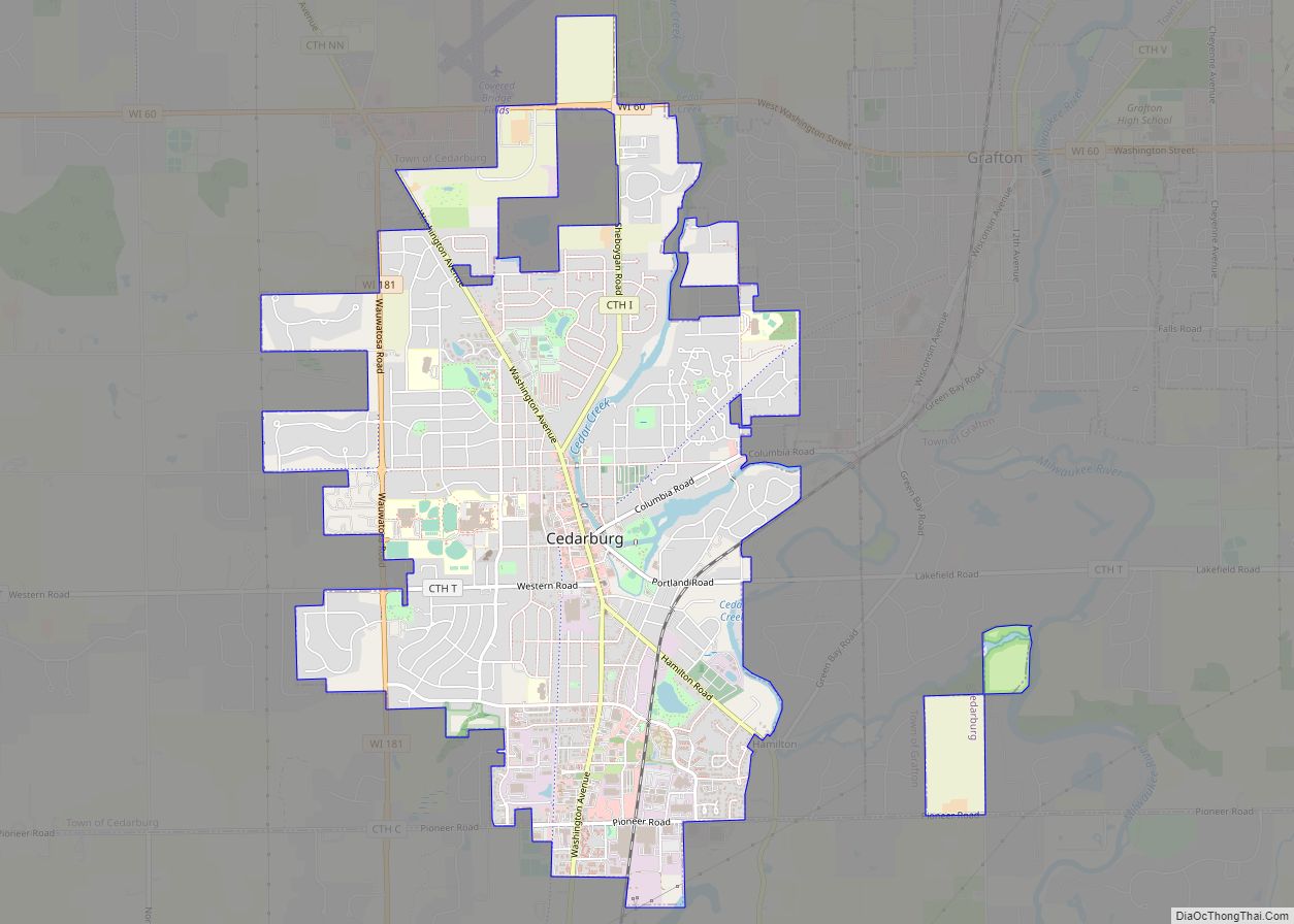
Cedarburg Road Map
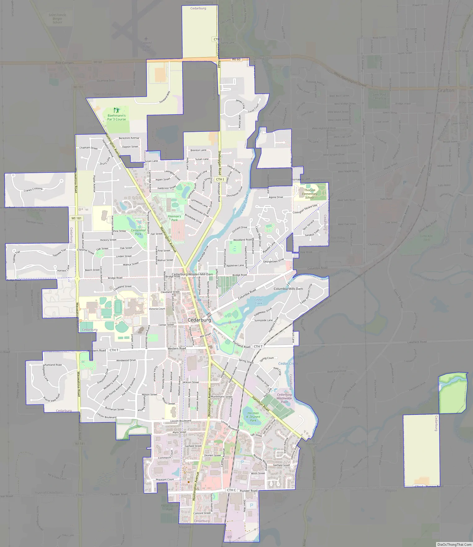
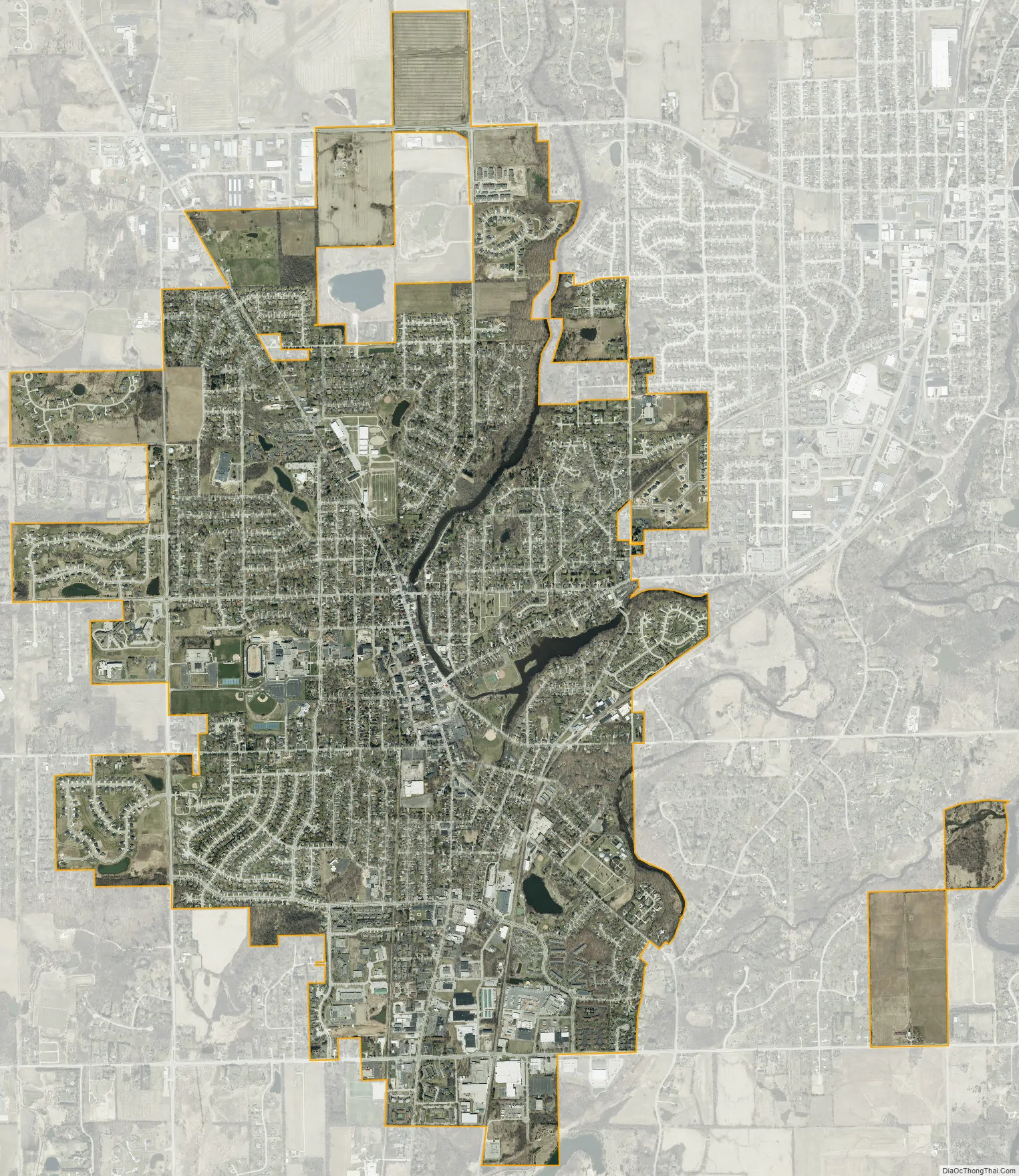
Cedarburg city Satellite Map
Geography
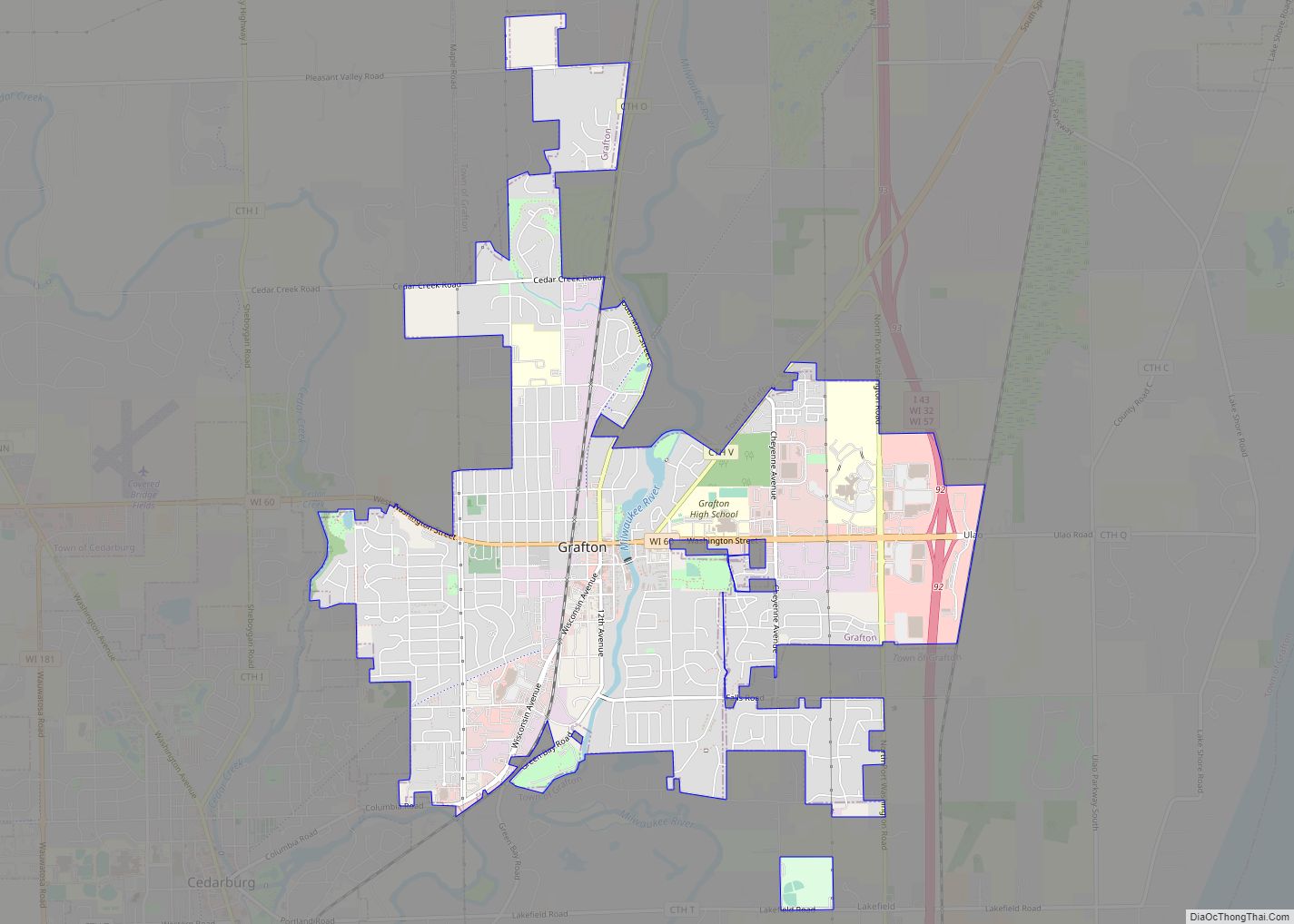
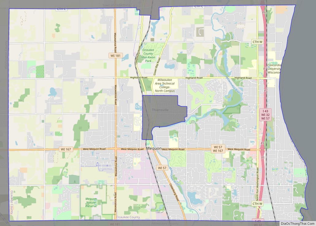
Cedarburg is located at 43°17’56” North, 87°59’13” West (43.29896, −87.987209). According to the United States Census Bureau, the city has a total area of 4.87 square miles (12.61 km), of which, 4.83 square miles (12.51 km) of it is land and 0.04 square miles (0.10 km) is water. The City of Cedarburg is bordered by the Village of Grafton to the east, the City of Mequon to the south, and the Town of Cedarburg to the north and west.
The city is located in the Southeastern Wisconsin glacial till plains that were created by the Wisconsin glaciation during the most recent ice age. The soil in area is a mixture of well-draining material, loess, and loam, which all overlie a layer of glacial till. Most of the City of Cedarburg is located on top of a Silurian limestone deposit. There were several quarries active in the area, including the now-defunct Groth Quarry in Zeunert Park where excavators discovered fossils from a prehistoric reef. The early settlers utilized the area’s limestone as a building material, and some mid-19th-century limestone structures still stand today.
Cedar Creek runs through the city parallel to the Washington Avenue historic and commercial district. In 1993, the Wisconsin Department of Natural Resources believed that Cedar Creek had the PCB contamination in the state. The creek is now part of an Environmental Protection Agency Superfund site in the city. Despite cleanup efforts, the Wisconsin DNR advises against eating any fish caught in the creek downstream from the Bridge Road dam.
Before white settlers arrived in the area, the Cedarburg area was an upland forest dominated by American beech and sugar maple trees. There were also white cedars growing along Cedar Creek. Much of the original forest was cleared to prepare the land for agriculture. In the 21st century, the City of Cedarburg plants and maintains over 8,000 trees in public spaces, and the Arbor Day Foundation has recognized Cedarburg through its Tree City USA program.
As land development continues to reduce wild areas, wildlife is forced into closer proximity with human communities like Cedarburg. Large mammals, including white-tailed deer, coyotes, and red foxes can be seen within the city limits. There have been infrequent sightings of black bears in Ozaukee County communities, including a 2005 report of a bear in a Cedarburg city park. Many birds, including great blue herons and wild turkeys are found in and around the City of Cedarburg. The Wisconsin Bird Conservation Initiative considers the Cedarburg Bog, located north of the city in the Town of Saukville, to be a Wisconsin Important Bird Area. The rare Goldenseal plant grows in a woodland on the northern boundary between the city and the Town of Cedarburg.
The region struggles with many invasive species, including the emerald ash borer, common carp, reed canary grass, the common reed, purple loosestrife, garlic mustard, Eurasian buckthorns, and honeysuckles.
See also
Map of Wisconsin State and its subdivision:- Adams
- Ashland
- Barron
- Bayfield
- Brown
- Buffalo
- Burnett
- Calumet
- Chippewa
- Clark
- Columbia
- Crawford
- Dane
- Dodge
- Door
- Douglas
- Dunn
- Eau Claire
- Florence
- Fond du Lac
- Forest
- Grant
- Green
- Green Lake
- Iowa
- Iron
- Jackson
- Jefferson
- Juneau
- Kenosha
- Kewaunee
- La Crosse
- Lafayette
- Lake Michigan
- Lake Superior
- Langlade
- Lincoln
- Manitowoc
- Marathon
- Marinette
- Marquette
- Menominee
- Milwaukee
- Monroe
- Oconto
- Oneida
- Outagamie
- Ozaukee
- Pepin
- Pierce
- Polk
- Portage
- Price
- Racine
- Richland
- Rock
- Rusk
- Saint Croix
- Sauk
- Sawyer
- Shawano
- Sheboygan
- Taylor
- Trempealeau
- Vernon
- Vilas
- Walworth
- Washburn
- Washington
- Waukesha
- Waupaca
- Waushara
- Winnebago
- Wood
- Alabama
- Alaska
- Arizona
- Arkansas
- California
- Colorado
- Connecticut
- Delaware
- District of Columbia
- Florida
- Georgia
- Hawaii
- Idaho
- Illinois
- Indiana
- Iowa
- Kansas
- Kentucky
- Louisiana
- Maine
- Maryland
- Massachusetts
- Michigan
- Minnesota
- Mississippi
- Missouri
- Montana
- Nebraska
- Nevada
- New Hampshire
- New Jersey
- New Mexico
- New York
- North Carolina
- North Dakota
- Ohio
- Oklahoma
- Oregon
- Pennsylvania
- Rhode Island
- South Carolina
- South Dakota
- Tennessee
- Texas
- Utah
- Vermont
- Virginia
- Washington
- West Virginia
- Wisconsin
- Wyoming