Oak Creek is a city in the U.S. state of Wisconsin. Located in Milwaukee County, it sits on the southwestern shore of Lake Michigan and is located immediately south of Milwaukee. The city is one of the fastest growing in Milwaukee County and all of Wisconsin. As of the 2020 census, the population was 36,497.
The area has experienced an economic boom in recent years, with the addition of large companies such as Amazon, IKEA, and the Astronautics Corporation of America.
| Name: | Oak Creek city |
|---|---|
| LSAD Code: | 25 |
| LSAD Description: | city (suffix) |
| State: | Wisconsin |
| County: | Milwaukee County |
| Elevation: | 702 ft (214 m) |
| Total Area: | 28.45 sq mi (73.68 km²) |
| Land Area: | 28.45 sq mi (73.68 km²) |
| Water Area: | 0.00 sq mi (0.00 km²) |
| Total Population: | 36,497 |
| Population Density: | 1,276.94/sq mi (493.02/km²) |
| ZIP code: | 53154 |
| Area code: | 414 |
| FIPS code: | 5558800 |
| GNISfeature ID: | 1570601 |
| Website: | www.oakcreekwi.gov |
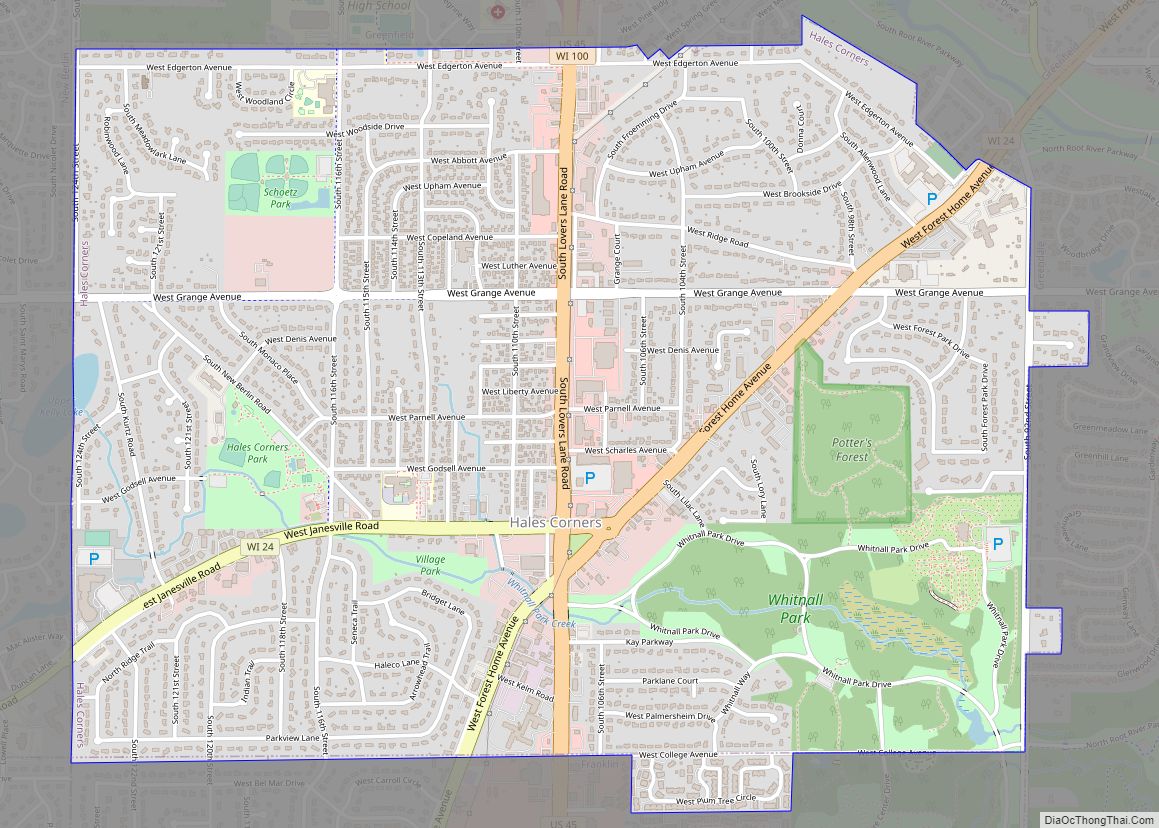
Online Interactive Map
Click on ![]() to view map in "full screen" mode.
to view map in "full screen" mode.
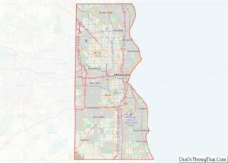
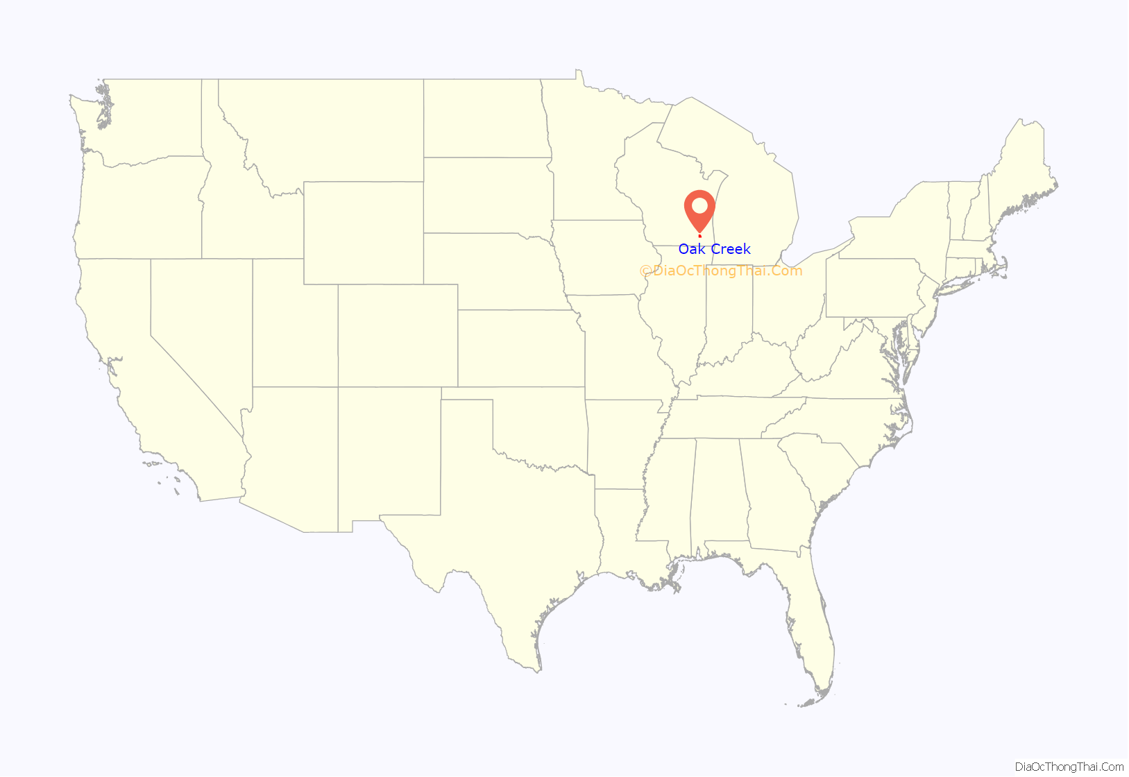
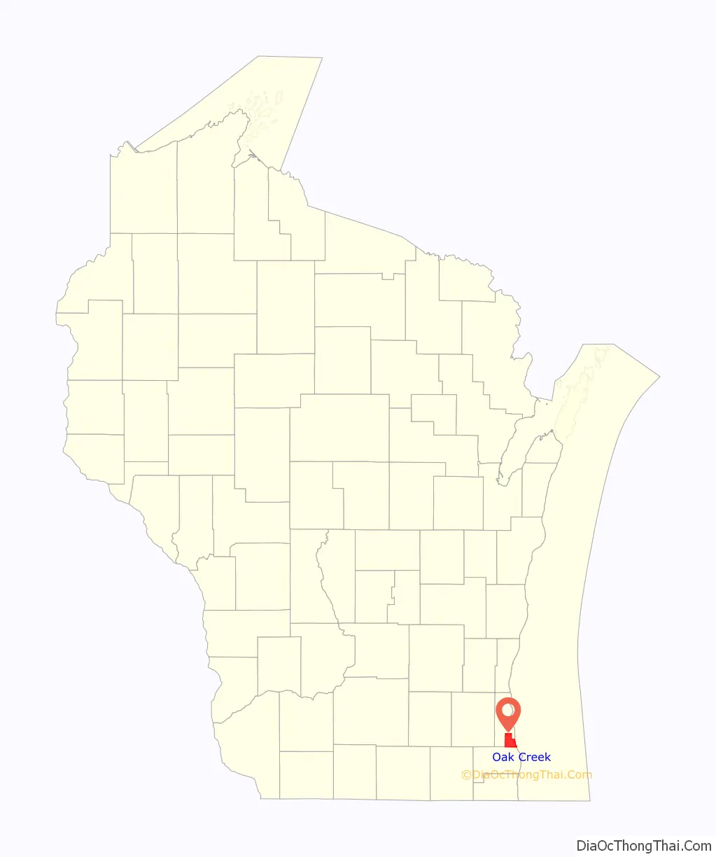
Oak Creek location map. Where is Oak Creek city?
History
On January 2, 1838, the territorial legislature divided Milwaukee County into two towns: the Town of Milwaukee, encompassing everything north of the present Greenfield Avenue, and the Town of Lake encompassing everything south of the present Greenfield Avenue; “and the polls of election shall be opened at the house of Elisha Higgins, in said town.” On March 8, 1839, a new Town of Kinnikennick was created, encompassing the western part of Lake (later the Towns of Greenfield and Franklin); finally, on August 13, 1840, the south portion of the Town of Lake was split off to form the town of Oak Creek. As of the 1840 census, the population of the Town of Lake (then including Oak Creek) was 418.
In 1955, the Town of Oak Creek, then still semi-rural with a population of 4807 in the 1950 census, was incorporated as a city under the terms of Wisconsin statute 66.0215, also known as “The Oak Creek Law.” The Oak Creek Law was crafted by Town Attorney Tony Basile to prevent Oak Creek’s annexation by the City of Milwaukee, which by annexations (including the 1954 annexation of the remainder of the Town of Lake) was now bordering Oak Creek and had already annexed one small portion of the town; the law was shepherded through the legislature with the help of state Democratic party legislative joint committee chairman Leland McParland, who was the state senator for Oak Creek.
In recent years, the 85 acre site called the Drexel Town Square, built on part of the site where the gigantic AC Spark Plug factory once stood, has become the city’s newest economic venture. It is home to a number of retail shops, restaurants, a hotel, residential buildings, and a medical facility. The Civic Center includes city hall and the public library. The town square also features a farmers market, splash pad, ice rink, and an outdoor amphitheater. The town square development won the 2016 Vision Award from the Milwaukee Business Journal.
On August 5, 2012, a white supremacist opened fire at a Sikh temple in Oak Creek. The white supremacist killed six people and injured several more before being killed by Oak Creek Police.
Oak Creek Road Map
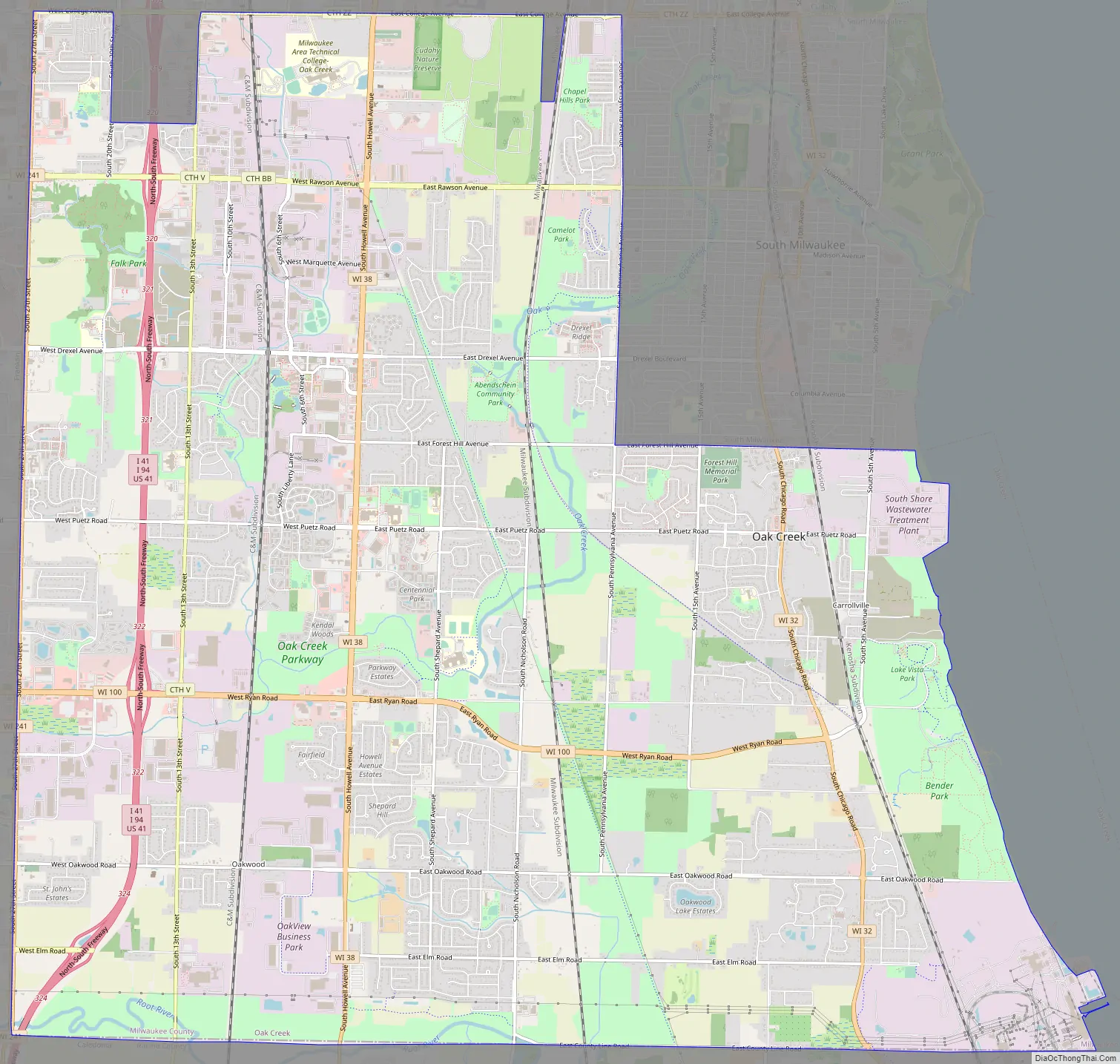
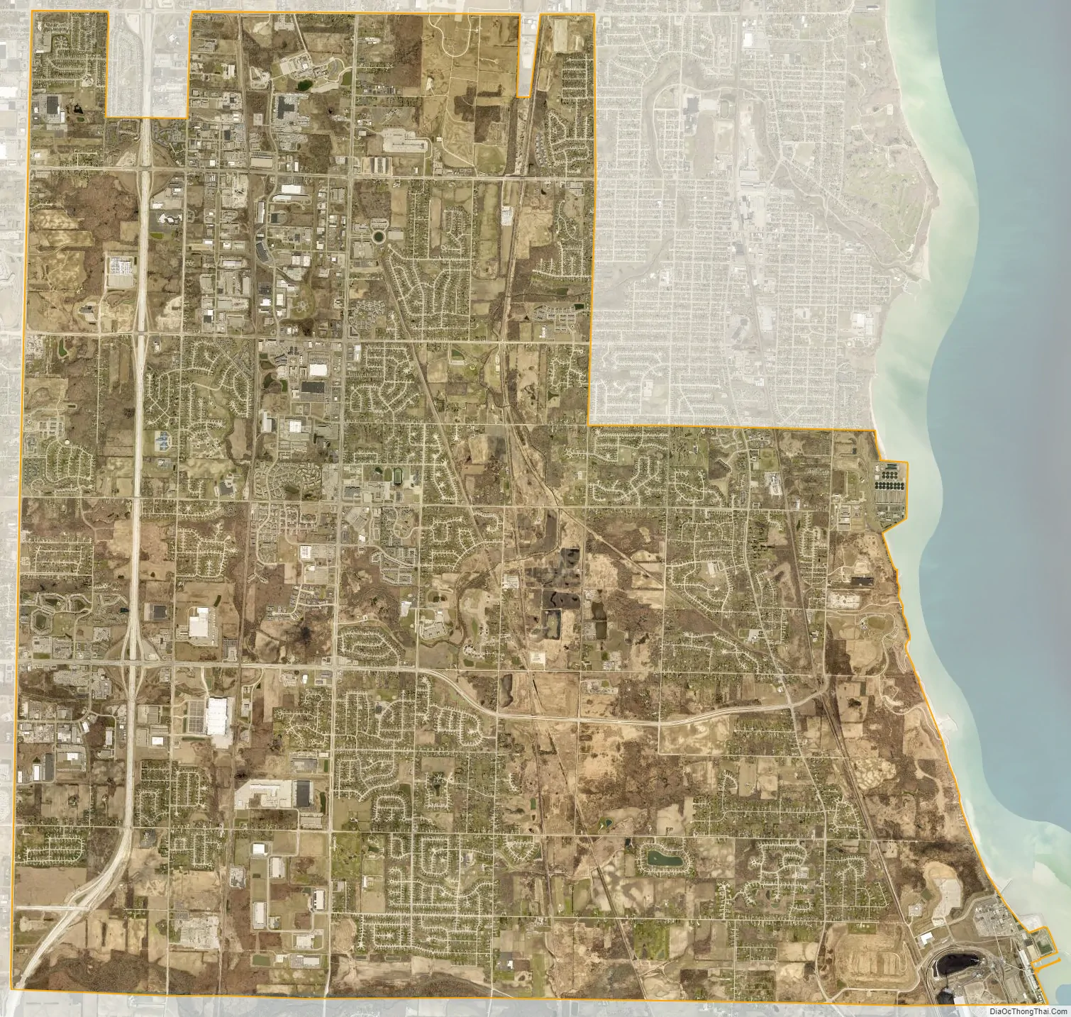
Oak Creek city Satellite Map
Geography
Oak Creek is located at 42°53′4″N 87°53′57″W / 42.88444°N 87.89917°W / 42.88444; -87.89917 (42.884347, −87.899209).
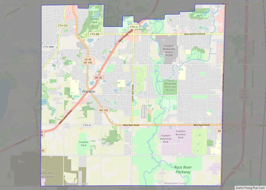
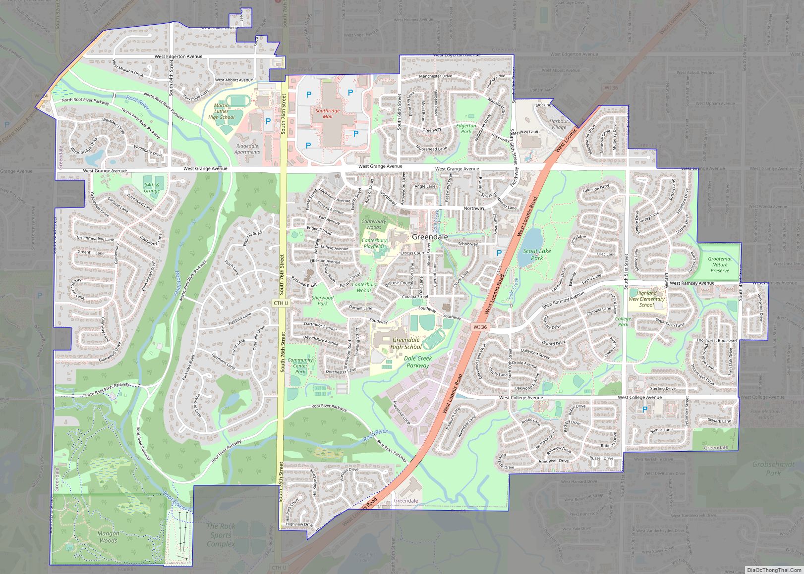
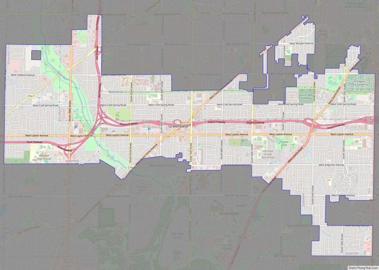
It is part of the Milwaukee metropolitan area and borders the cities of Milwaukee and Greenfield to the north, the city of South Milwaukee to the north and east, Lake Michigan to the east, the village of Caledonia to the south, the city of Franklin and the village of Greendale to the west.
According to the United States Census Bureau, the city has a total area of 28.45 square miles (73.69 km), all of it land.
A small section of the Root River flows north from Racine County through Oak Creek at its southern edge at the Root River Parkway. Additionally, the Oak Creek watershed originates in the city of Franklin and meanders through to Grant Park in South Milwaukee, and ultimately into Lake Michigan. The stream drains about 26 square miles.
See also
Map of Wisconsin State and its subdivision:- Adams
- Ashland
- Barron
- Bayfield
- Brown
- Buffalo
- Burnett
- Calumet
- Chippewa
- Clark
- Columbia
- Crawford
- Dane
- Dodge
- Door
- Douglas
- Dunn
- Eau Claire
- Florence
- Fond du Lac
- Forest
- Grant
- Green
- Green Lake
- Iowa
- Iron
- Jackson
- Jefferson
- Juneau
- Kenosha
- Kewaunee
- La Crosse
- Lafayette
- Lake Michigan
- Lake Superior
- Langlade
- Lincoln
- Manitowoc
- Marathon
- Marinette
- Marquette
- Menominee
- Milwaukee
- Monroe
- Oconto
- Oneida
- Outagamie
- Ozaukee
- Pepin
- Pierce
- Polk
- Portage
- Price
- Racine
- Richland
- Rock
- Rusk
- Saint Croix
- Sauk
- Sawyer
- Shawano
- Sheboygan
- Taylor
- Trempealeau
- Vernon
- Vilas
- Walworth
- Washburn
- Washington
- Waukesha
- Waupaca
- Waushara
- Winnebago
- Wood
- Alabama
- Alaska
- Arizona
- Arkansas
- California
- Colorado
- Connecticut
- Delaware
- District of Columbia
- Florida
- Georgia
- Hawaii
- Idaho
- Illinois
- Indiana
- Iowa
- Kansas
- Kentucky
- Louisiana
- Maine
- Maryland
- Massachusetts
- Michigan
- Minnesota
- Mississippi
- Missouri
- Montana
- Nebraska
- Nevada
- New Hampshire
- New Jersey
- New Mexico
- New York
- North Carolina
- North Dakota
- Ohio
- Oklahoma
- Oregon
- Pennsylvania
- Rhode Island
- South Carolina
- South Dakota
- Tennessee
- Texas
- Utah
- Vermont
- Virginia
- Washington
- West Virginia
- Wisconsin
- Wyoming