West Allis is a city in Milwaukee County, Wisconsin, United States. A suburb of Milwaukee, it is part of the Milwaukee metropolitan area. The population was 60,325 at the 2020 census.
| Name: | West Allis city |
|---|---|
| LSAD Code: | 25 |
| LSAD Description: | city (suffix) |
| State: | Wisconsin |
| County: | Milwaukee County |
| Elevation: | 728 ft (222 m) |
| Total Area: | 11.40 sq mi (29.54 km²) |
| Land Area: | 11.38 sq mi (29.48 km²) |
| Water Area: | 0.02 sq mi (0.06 km²) |
| Total Population: | 60,325 |
| Population Density: | 5,262.28/sq mi (2,031.73/km²) |
| Area code: | 414 |
| FIPS code: | 5585300 |
| GNISfeature ID: | 1576439 |
| Website: | www.westalliswi.gov |
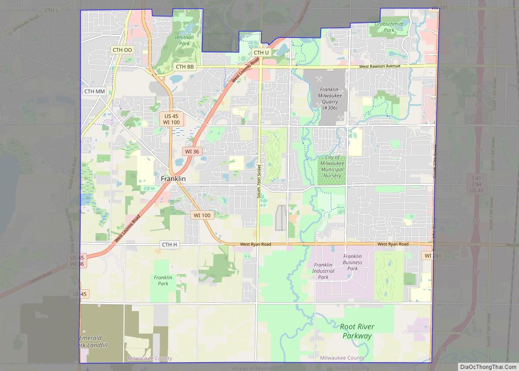
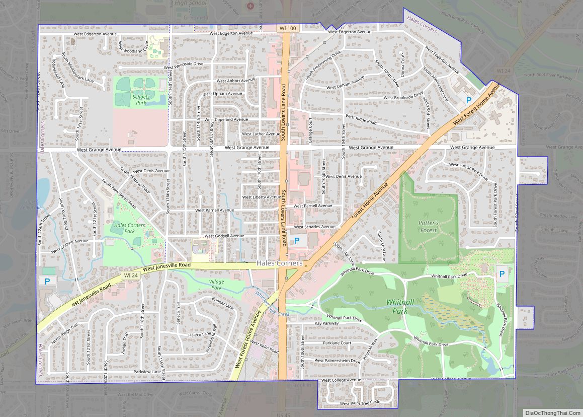
Online Interactive Map
Click on ![]() to view map in "full screen" mode.
to view map in "full screen" mode.
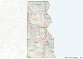
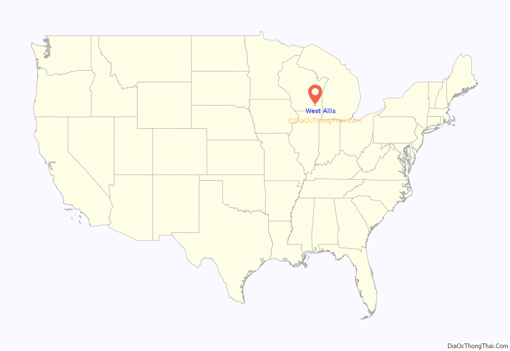
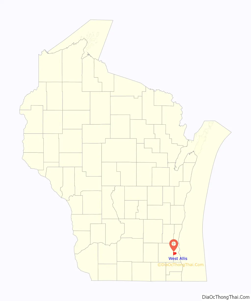
West Allis location map. Where is West Allis city?
History
The name West Allis derives from Edward P. Allis, whose Edward P. Allis Company was a large Milwaukee-area manufacturing firm in the late 19th century. In 1901, the Allis company became Allis-Chalmers, and in 1902 built a large new manufacturing plant west of its existing plant. The locale in which the new plant was constructed was at the time called North Greenfield, and prior to the 1880s had been called Honey Creek. With the building of the western Allis plant, the area was incorporated as the Village of West Allis, and it became the City of West Allis in 1906.
With the presence of Allis-Chalmers, the largest manufacturer in the area, West Allis became the largest suburb of Milwaukee in the early 20th century. After that, West Allis grew quickly. Between 1910 and 1930, its population grew fivefold. After 1965, the Allis-Chalmers company’s fortunes had turned. By 1985, Allis-Chalmers’ global workforce had shrunk to 13,000 from its peak of 31,000. Allis-Chalmers would then declare bankruptcy in 1987, closing their last Milwaukee office in 1999. Since then, West Allis has had some success attracting other employers, such as Quad Graphics.
West Allis Road Map
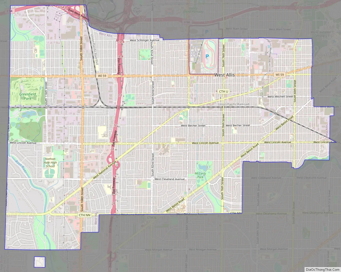
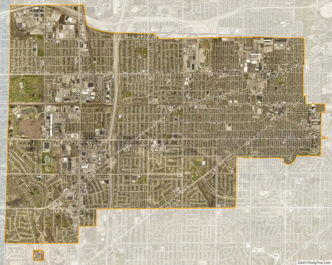
West Allis city Satellite Map
Geography
West Allis is located at 43°0′29″N 88°1′6″W / 43.00806°N 88.01833°W / 43.00806; -88.01833 (43.00, −88.02). The upper courses of the Root and Kinnickinnic Rivers flow through the city. According to the United States Census Bureau, the city has a total area of 11.41 square miles (29.55 km), of which, 11.39 square miles (29.50 km) is land and 0.02 square miles (0.05 km) is water.
See also
Map of Wisconsin State and its subdivision:- Adams
- Ashland
- Barron
- Bayfield
- Brown
- Buffalo
- Burnett
- Calumet
- Chippewa
- Clark
- Columbia
- Crawford
- Dane
- Dodge
- Door
- Douglas
- Dunn
- Eau Claire
- Florence
- Fond du Lac
- Forest
- Grant
- Green
- Green Lake
- Iowa
- Iron
- Jackson
- Jefferson
- Juneau
- Kenosha
- Kewaunee
- La Crosse
- Lafayette
- Lake Michigan
- Lake Superior
- Langlade
- Lincoln
- Manitowoc
- Marathon
- Marinette
- Marquette
- Menominee
- Milwaukee
- Monroe
- Oconto
- Oneida
- Outagamie
- Ozaukee
- Pepin
- Pierce
- Polk
- Portage
- Price
- Racine
- Richland
- Rock
- Rusk
- Saint Croix
- Sauk
- Sawyer
- Shawano
- Sheboygan
- Taylor
- Trempealeau
- Vernon
- Vilas
- Walworth
- Washburn
- Washington
- Waukesha
- Waupaca
- Waushara
- Winnebago
- Wood
- Alabama
- Alaska
- Arizona
- Arkansas
- California
- Colorado
- Connecticut
- Delaware
- District of Columbia
- Florida
- Georgia
- Hawaii
- Idaho
- Illinois
- Indiana
- Iowa
- Kansas
- Kentucky
- Louisiana
- Maine
- Maryland
- Massachusetts
- Michigan
- Minnesota
- Mississippi
- Missouri
- Montana
- Nebraska
- Nevada
- New Hampshire
- New Jersey
- New Mexico
- New York
- North Carolina
- North Dakota
- Ohio
- Oklahoma
- Oregon
- Pennsylvania
- Rhode Island
- South Carolina
- South Dakota
- Tennessee
- Texas
- Utah
- Vermont
- Virginia
- Washington
- West Virginia
- Wisconsin
- Wyoming