Attalla is a city in Etowah County, Alabama, United States. As of the 2010 census, the population was 6,048.
| Name: | Attalla city |
|---|---|
| LSAD Code: | 25 |
| LSAD Description: | city (suffix) |
| State: | Alabama |
| County: | Etowah County |
| Elevation: | 558 ft (170 m) |
| Total Area: | 7.00 sq mi (18.13 km²) |
| Land Area: | 7.00 sq mi (18.13 km²) |
| Water Area: | 0.00 sq mi (0.00 km²) |
| Total Population: | 5,827 |
| Population Density: | 832.55/sq mi (321.46/km²) |
| ZIP code: | 35954 |
| Area code: | 256 |
| FIPS code: | 0103028 |
| GNISfeature ID: | 2403130 |
| Website: | www.attallacity.com |
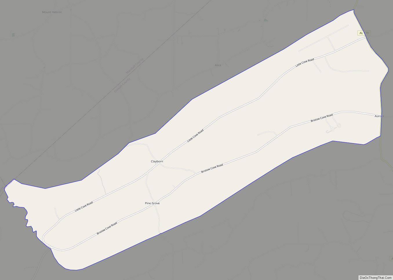
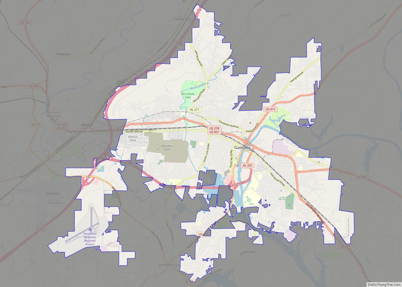
Online Interactive Map
Click on ![]() to view map in "full screen" mode.
to view map in "full screen" mode.
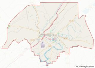
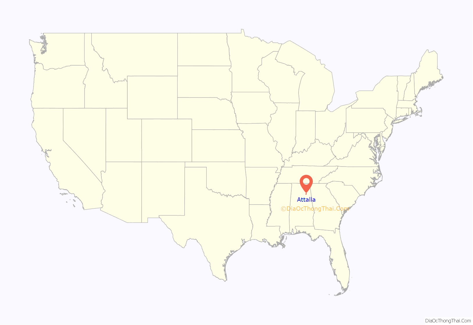
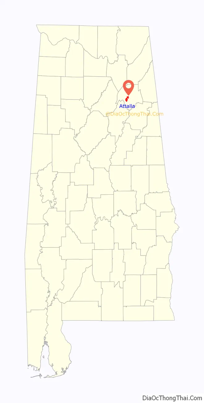
Attalla location map. Where is Attalla city?
History
The town occupies the site of an Indian village which was of considerable importance during the Creek War. It was in Attalla that David Brown, a Cherokee assisted by the Rev. D. S. Butterick, prepared the Cherokee Spelling Book.
Attalla was not founded until 1870, on land donated by W. C. Hammond, a plantation owner. It was incorporated as a city government on February 5, 1872. The town was officially named “Attalla” in 1893, from the Cherokee language word meaning “mountain”. Attalla was prosperous until the railroads that it depended on went into bankruptcy.
Attalla is the site of the first hydroelectric dam to provide electricity for a city, constructed in 1887.
20th century to present
William Lewis Moore, a U.S. postman and white civil rights activist, was murdered here on April 23, 1963, as he tried to walk from Chattanooga, Tennessee, to Jackson, Mississippi, to deliver his letter in support of civil rights to Mississippi Governor Ross Barnett. The suspected murderer, Floyd Simpson, was never charged with the crime.
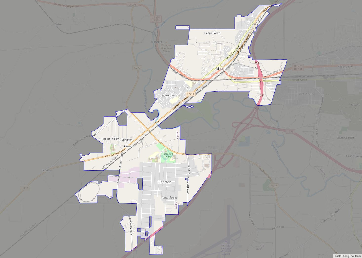
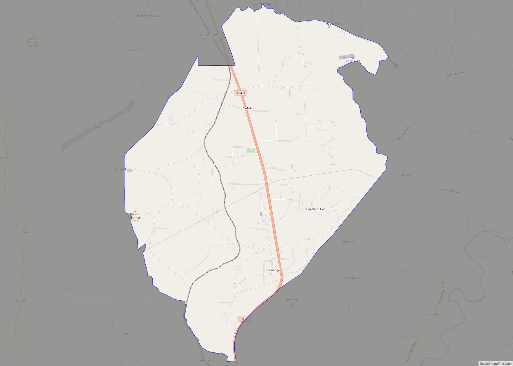
Attalla Road Map
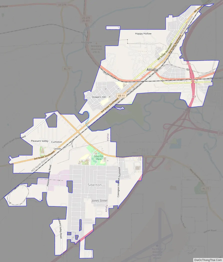
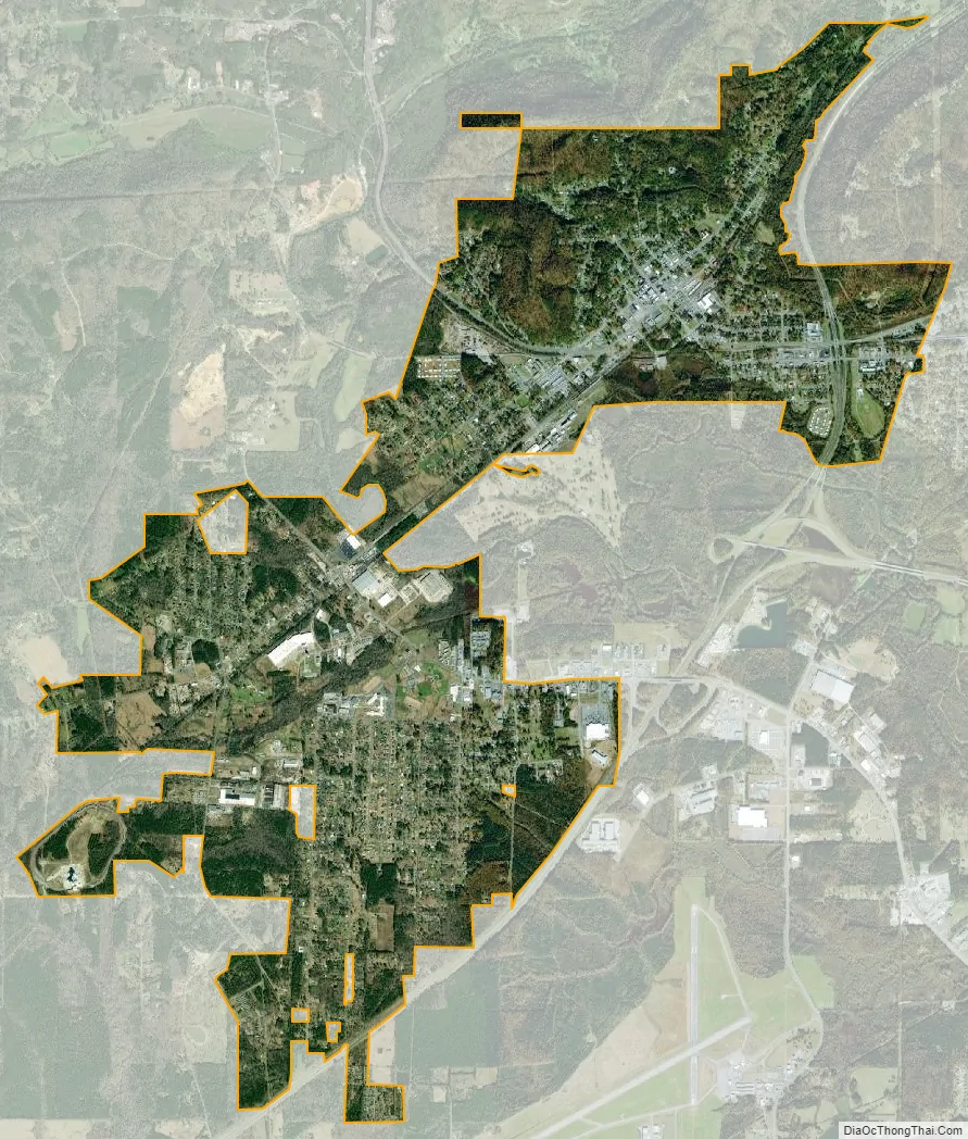
Attalla city Satellite Map
Geography
Attalla is in Etowah County at 34°0′35″N 86°5′54″W / 34.00972°N 86.09833°W / 34.00972; -86.09833 (34.009818, -86.098413). It is bordered to the east by the city of Gadsden, the county seat, and at its southernmost point by Rainbow City.
Interstate 59 runs along the eastern edge of the city, with access from Exits 181 and 183. U.S. Route 11 passes through the center of town as Third Street and runs generally parallel to I-59, leading northeast 36 miles (58 km) to Fort Payne and southwest 58 miles (93 km) to Birmingham. U.S. Routes 278 and 431 also pass through the center of Attalla, leading east 5 miles (8 km) to downtown Gadsden. US 431 runs north 20 miles (32 km) to Albertville, while US 278 leads west 47 miles (76 km) to Cullman. Alabama State Route 77 passes through the southern section of Attalla, leading north 3 miles (5 km) to US 431 and southeast 6 miles (10 km) to Rainbow City.
According to the U.S. Census Bureau, the city has a total area of 7.0 square miles (18.1 km), all of it land. Big Wills Creek, a tributary of the Coosa River, flows southeasterly through the city. The southern end of Lookout Mountain rises to the east overlooking the city.
See also
Map of Alabama State and its subdivision:- Autauga
- Baldwin
- Barbour
- Bibb
- Blount
- Bullock
- Butler
- Calhoun
- Chambers
- Cherokee
- Chilton
- Choctaw
- Clarke
- Clay
- Cleburne
- Coffee
- Colbert
- Conecuh
- Coosa
- Covington
- Crenshaw
- Cullman
- Dale
- Dallas
- De Kalb
- Elmore
- Escambia
- Etowah
- Fayette
- Franklin
- Geneva
- Greene
- Hale
- Henry
- Houston
- Jackson
- Jefferson
- Lamar
- Lauderdale
- Lawrence
- Lee
- Limestone
- Lowndes
- Macon
- Madison
- Marengo
- Marion
- Marshall
- Mobile
- Monroe
- Montgomery
- Morgan
- Perry
- Pickens
- Pike
- Randolph
- Russell
- Saint Clair
- Shelby
- Sumter
- Talladega
- Tallapoosa
- Tuscaloosa
- Walker
- Washington
- Wilcox
- Winston
- Alabama
- Alaska
- Arizona
- Arkansas
- California
- Colorado
- Connecticut
- Delaware
- District of Columbia
- Florida
- Georgia
- Hawaii
- Idaho
- Illinois
- Indiana
- Iowa
- Kansas
- Kentucky
- Louisiana
- Maine
- Maryland
- Massachusetts
- Michigan
- Minnesota
- Mississippi
- Missouri
- Montana
- Nebraska
- Nevada
- New Hampshire
- New Jersey
- New Mexico
- New York
- North Carolina
- North Dakota
- Ohio
- Oklahoma
- Oregon
- Pennsylvania
- Rhode Island
- South Carolina
- South Dakota
- Tennessee
- Texas
- Utah
- Vermont
- Virginia
- Washington
- West Virginia
- Wisconsin
- Wyoming