Eva is a town in Morgan County, Alabama, and is included in the Decatur Metropolitan Area and the Huntsville-Decatur Combined Statistical Area. As of the 2020 census, the population of the town was 589, up from 519 in 2010. The mayor currently is Gary Livingston.
| Name: | Eva town |
|---|---|
| LSAD Code: | 43 |
| LSAD Description: | town (suffix) |
| State: | Alabama |
| County: | Morgan County |
| Elevation: | 1,066 ft (325 m) |
| Total Area: | 4.30 sq mi (11.14 km²) |
| Land Area: | 4.27 sq mi (11.06 km²) |
| Water Area: | 0.03 sq mi (0.08 km²) |
| Total Population: | 589 |
| Population Density: | 137.91/sq mi (53.25/km²) |
| ZIP code: | 35621 |
| Area code: | 256 |
| FIPS code: | 0124688 |
| GNISfeature ID: | 2406472 |
Online Interactive Map
Click on ![]() to view map in "full screen" mode.
to view map in "full screen" mode.
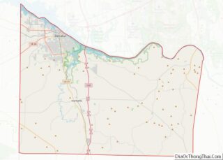
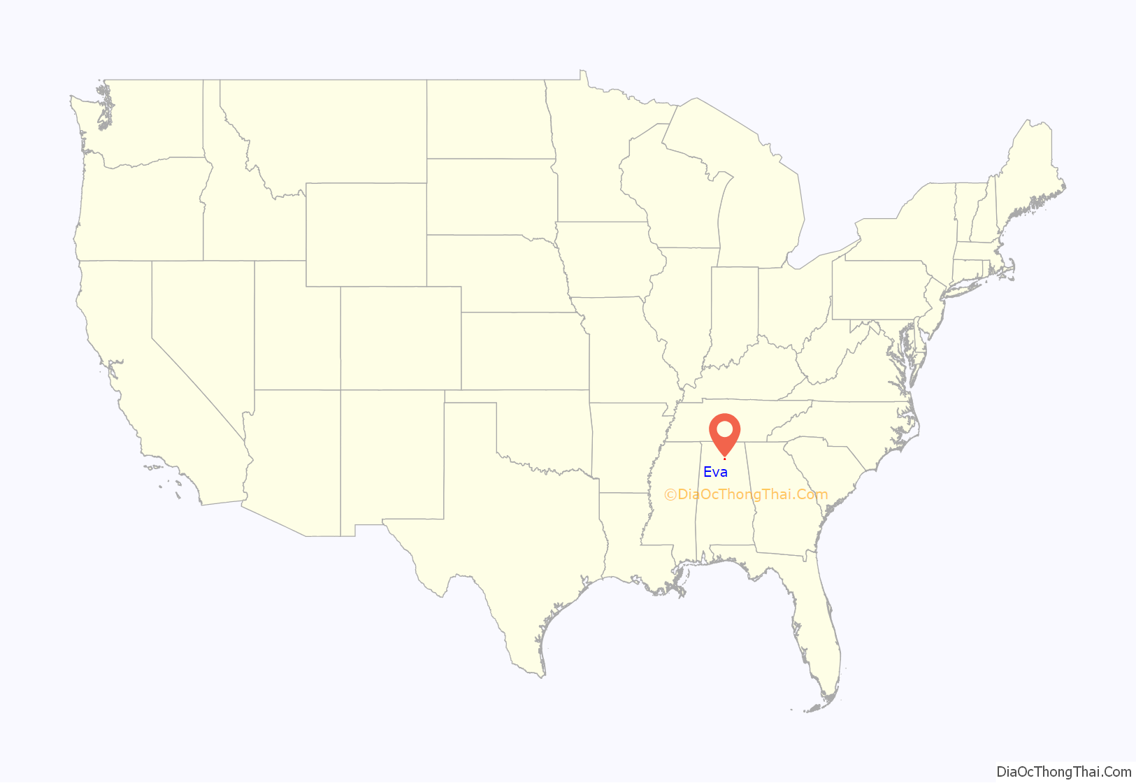
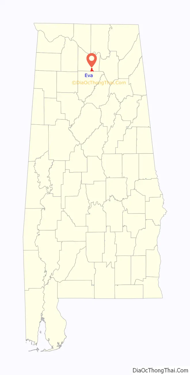
Eva location map. Where is Eva town?
History
Originally called “Cowhead”, the town began to be settled in 1820, just a year after Alabama achieved statehood. William J. Rook began a post office in Cowhead in 1883; however, it was closed a month later. According to local lore, at a community meeting, the town received its current name “Eva” in October 1883 at the suggestion of a local physician, Dr. Lewis Keller, who had just delivered a beautiful baby girl by that name, Eva Brandon. He liked that name because like the girl, the town was just getting started. After discussion, the community agreed upon the name Eva because the town needed a new name as a prerequisite for establishing a new post office. It was not until 1887 that the town’s name was officially changed from Cowhead.
In 1916, Mr. Wiley Steward, local sawmill owner, donated 5 acres (2.0 ha) of land to the town, for the construction of a new school. In 1918, using donations from the local community, Eva gazed with admiration upon a beautiful new four-room schoolhouse. As time went by, the need for higher educational training for the community was realized. In an effort spearheaded by local physician J. G. Daves, later deemed “the father of Eva School”, in the 1920s a community campaign was set forth to raise the necessary funds to build another school. Even the Great Depression could not hold this thriving community down from its dream of higher education for its children.
It was a community undertaking, but the fairy tale dream of a resolute community was realized in 1930, when Eva became a proud possessor of an accredited high school and held graduation exercises with a senior class composed of three members.
The community forged ahead and in its desire to add to the curriculum of the school, through local donations, added a vocational agriculture building, elementary building, and in 1938 completed a large stone gymnasium.
In 1972, with the opening of Albert P. Brewer High School in Florette, Eva High School was consolidated into this new east regional Morgan County High School facility.
In 1996, the Morgan County Board of Education, through a capital funds campus upgrade, demolished the old school buildings, excluding the gymnasium that was constructed in 1985 and the old lunchroom building, constructed in the mid 1960s. The campus was rebuilt, with a beautiful new modern K-8 building. Today, Eva School, as it has done for a century, continues to serve as source of pride for the Eva community.
Eva incorporated as a town in 1963.
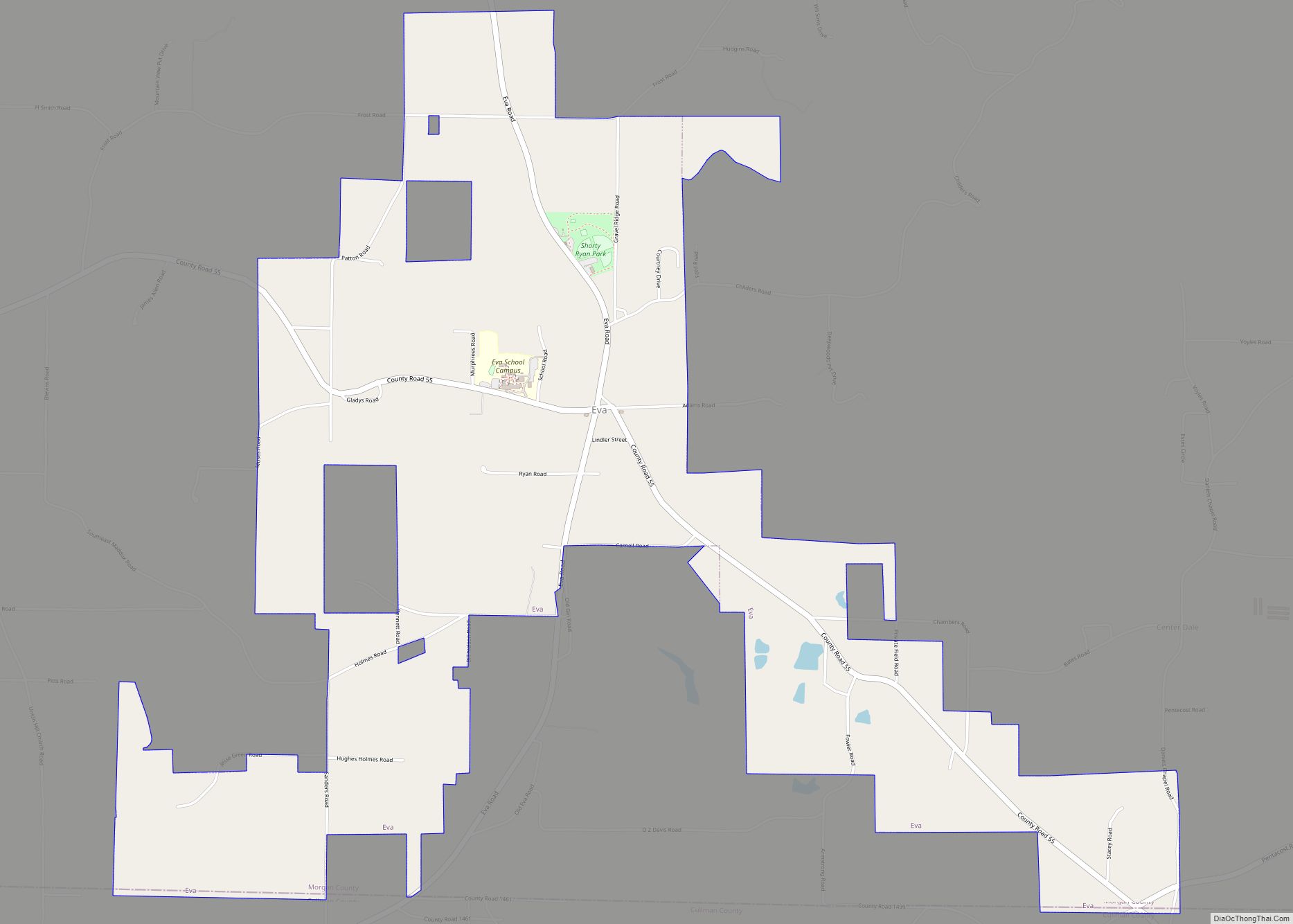
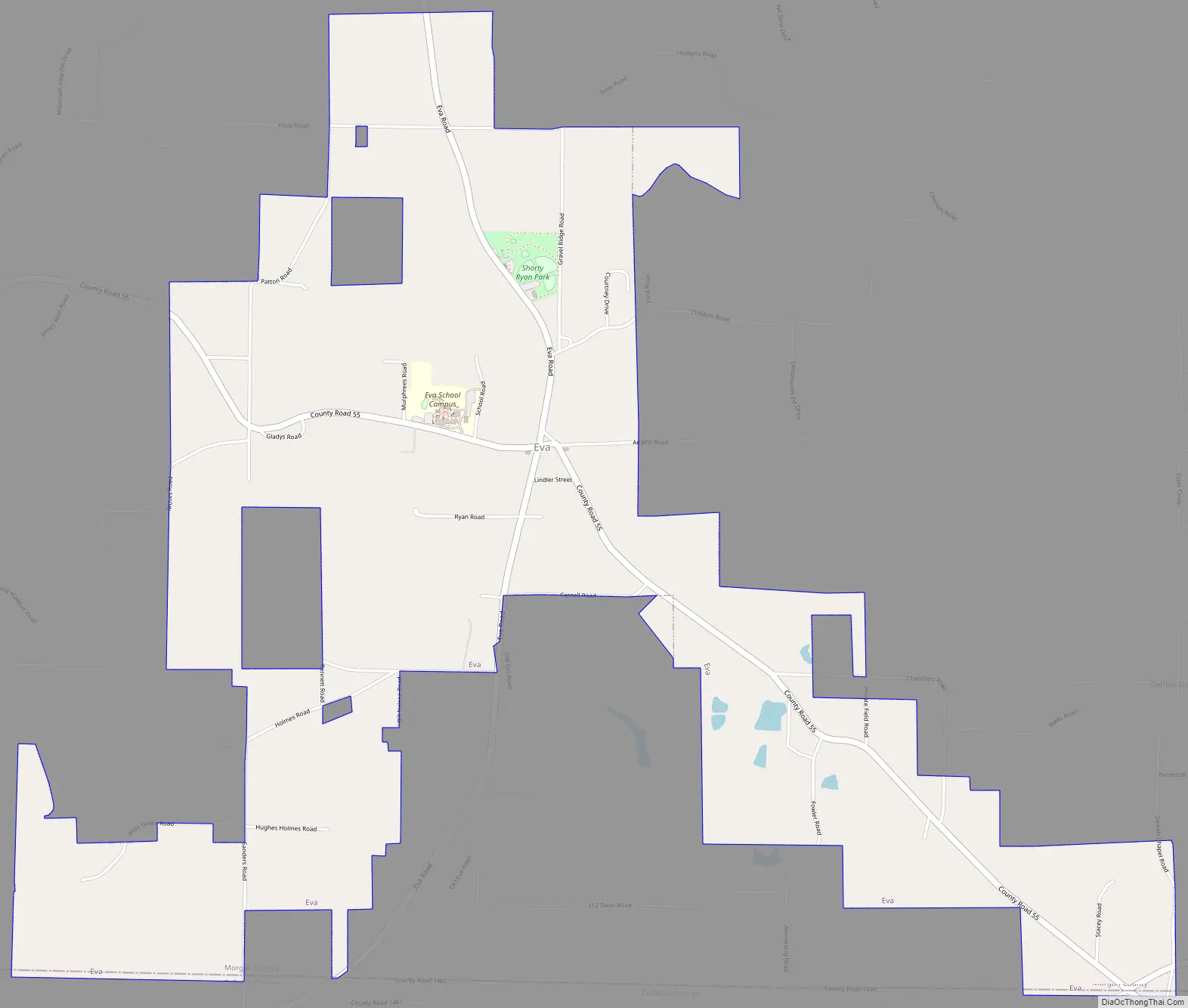
Eva Road Map
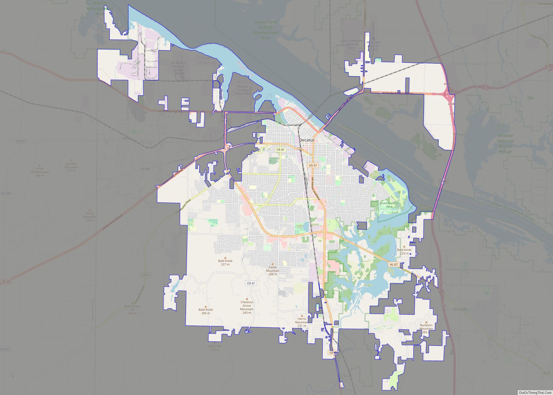
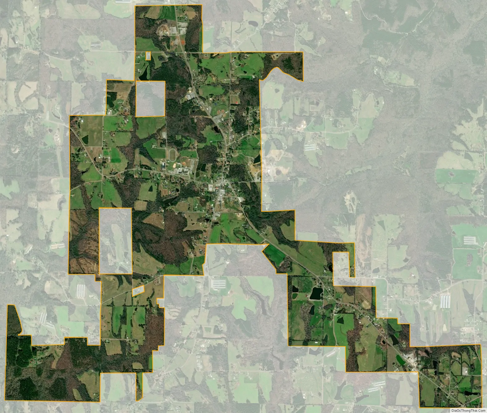
Eva city Satellite Map
Geography
Eva is located in southeastern Morgan County at 34°19′31″N 86°44′52″W / 34.32528°N 86.74778°W / 34.32528; -86.74778 (34.325209, -86.747722). Its southern border touches the border with Cullman County. It is 15 miles (24 km) southeast of Hartselle and 28 miles (45 km) south-southeast of Decatur, the Morgan county seat. Cullman is 13 miles (21 km) to the southwest, and Arab is 18 miles (29 km) to the east.
According to the U.S. Census Bureau, the town of Eva has a total area of 4.3 square miles (11 km), of which 0.03 square miles (0.08 km), or 0.74%, are water. The town center, at an elevation of 1,105 feet (337 m) above sea level, is just north of the Tennessee Valley Divide. The town drains west toward Flint Creek and east toward Cotaco Creek, both of which are north-flowing tributaries of the Tennessee River. The southernmost parts of town drain south to Eightmile Creek, a tributary of the Broglen River and part of the Mulberry Fork of the Black Warrior River watershed.
See also
Map of Alabama State and its subdivision:- Autauga
- Baldwin
- Barbour
- Bibb
- Blount
- Bullock
- Butler
- Calhoun
- Chambers
- Cherokee
- Chilton
- Choctaw
- Clarke
- Clay
- Cleburne
- Coffee
- Colbert
- Conecuh
- Coosa
- Covington
- Crenshaw
- Cullman
- Dale
- Dallas
- De Kalb
- Elmore
- Escambia
- Etowah
- Fayette
- Franklin
- Geneva
- Greene
- Hale
- Henry
- Houston
- Jackson
- Jefferson
- Lamar
- Lauderdale
- Lawrence
- Lee
- Limestone
- Lowndes
- Macon
- Madison
- Marengo
- Marion
- Marshall
- Mobile
- Monroe
- Montgomery
- Morgan
- Perry
- Pickens
- Pike
- Randolph
- Russell
- Saint Clair
- Shelby
- Sumter
- Talladega
- Tallapoosa
- Tuscaloosa
- Walker
- Washington
- Wilcox
- Winston
- Alabama
- Alaska
- Arizona
- Arkansas
- California
- Colorado
- Connecticut
- Delaware
- District of Columbia
- Florida
- Georgia
- Hawaii
- Idaho
- Illinois
- Indiana
- Iowa
- Kansas
- Kentucky
- Louisiana
- Maine
- Maryland
- Massachusetts
- Michigan
- Minnesota
- Mississippi
- Missouri
- Montana
- Nebraska
- Nevada
- New Hampshire
- New Jersey
- New Mexico
- New York
- North Carolina
- North Dakota
- Ohio
- Oklahoma
- Oregon
- Pennsylvania
- Rhode Island
- South Carolina
- South Dakota
- Tennessee
- Texas
- Utah
- Vermont
- Virginia
- Washington
- West Virginia
- Wisconsin
- Wyoming