Falkville is a town in Morgan County, Alabama, United States, and is included in the Decatur Metropolitan Area and Huntsville-Decatur Combined Statistical Area. As of the 2020 census, the population of the town was 1,197.
Falkville incorporated three times: first in 1876, again on June 19, 1886, and lastly on December 13, 1898.
| Name: | Falkville town |
|---|---|
| LSAD Code: | 43 |
| LSAD Description: | town (suffix) |
| State: | Alabama |
| County: | Morgan County |
| Elevation: | 600 ft (200 m) |
| Total Area: | 3.80 sq mi (9.83 km²) |
| Land Area: | 3.78 sq mi (9.79 km²) |
| Water Area: | 0.02 sq mi (0.05 km²) |
| Total Population: | 1,197 |
| Population Density: | 316.75/sq mi (122.31/km²) |
| ZIP code: | 35622 |
| Area code: | 256 |
| FIPS code: | 0125648 |
| GNISfeature ID: | 2406488 |
| Website: | www.falkville.org |
Online Interactive Map
Click on ![]() to view map in "full screen" mode.
to view map in "full screen" mode.
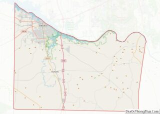
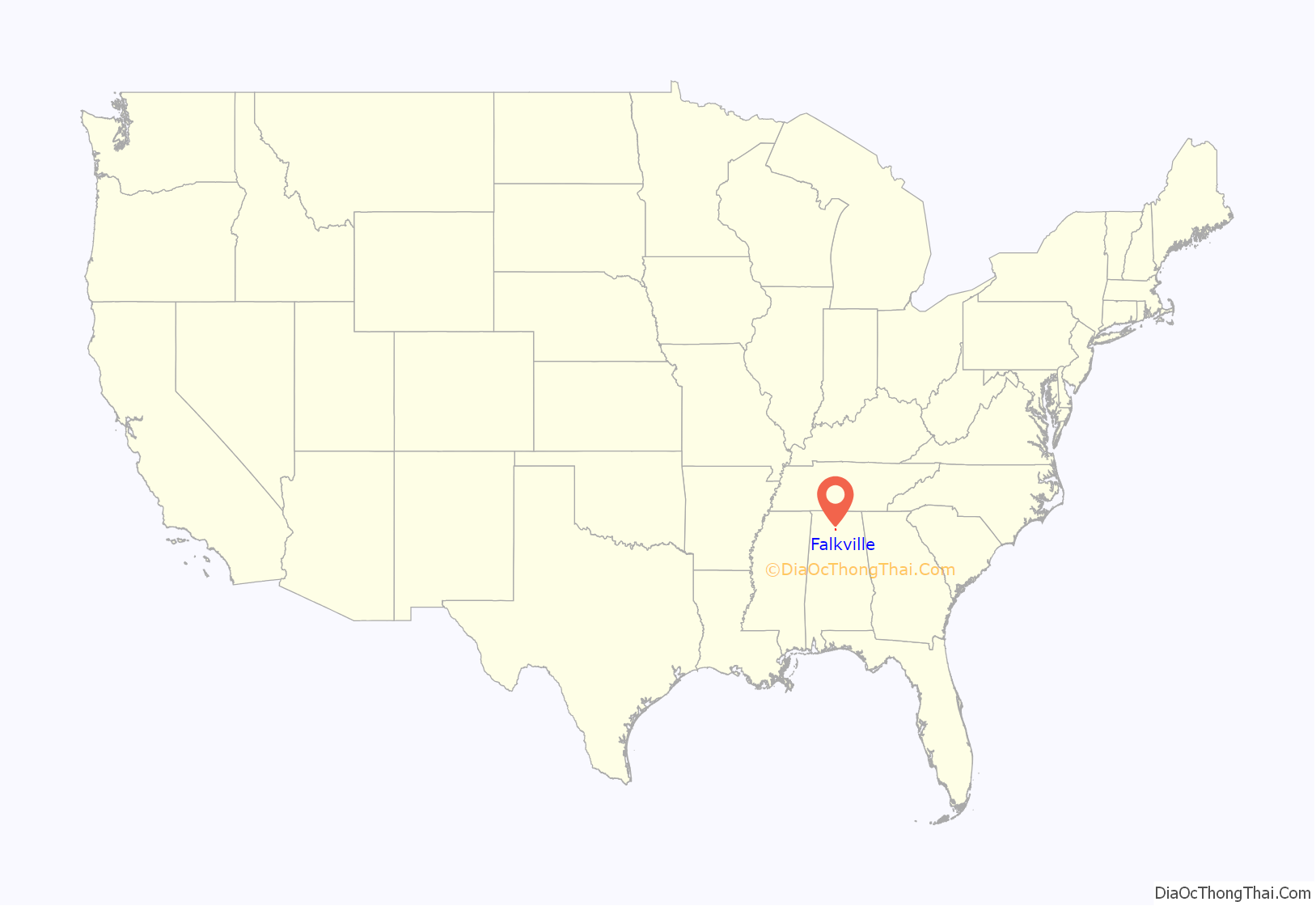
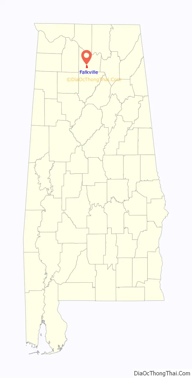
Falkville location map. Where is Falkville town?
History
Falkville was named for Louis M. Falk, a Prussian merchant who emigrated to the area in the late 1850s. Falk opened a general store in what is now Falkville in 1859 and later became the town’s first postmaster. The L&N Railroad was constructed through Falkville in the early 1870s, and a rail station opened in 1872.
In 1936, the Works Progress Administration constructed a town hall for Falkville. This building now serves as the town’s library.
1950s tornadoes
Two destructive tornadoes hit the town in the 1950s. On April 24, 1955, an F4 tornado tore directly through the town, killing five and injuring 20. Two years later, on April 8, 1957, a long-tracked F3 tornado hit the southern part of town. That storm killed two and injured 90.
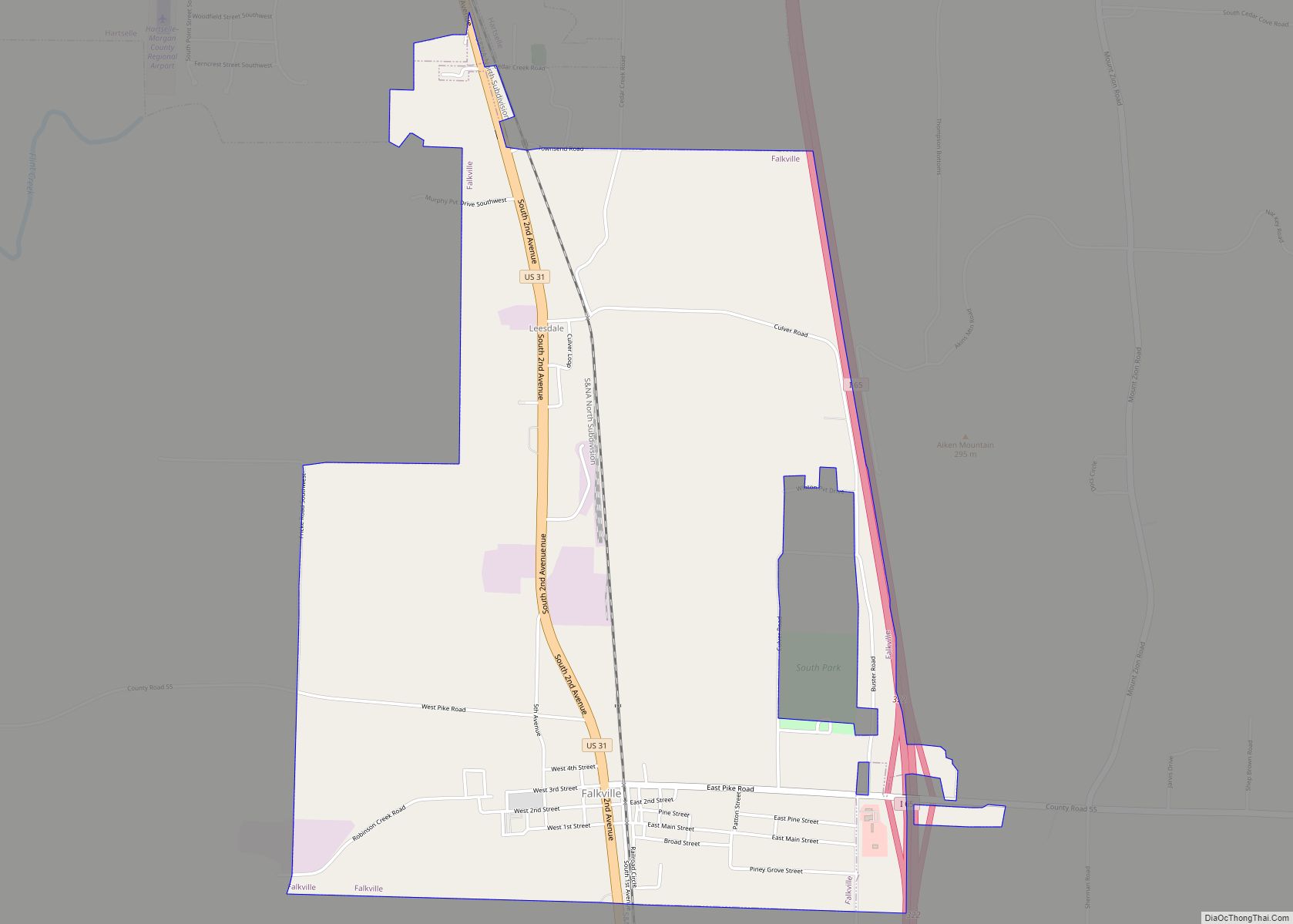
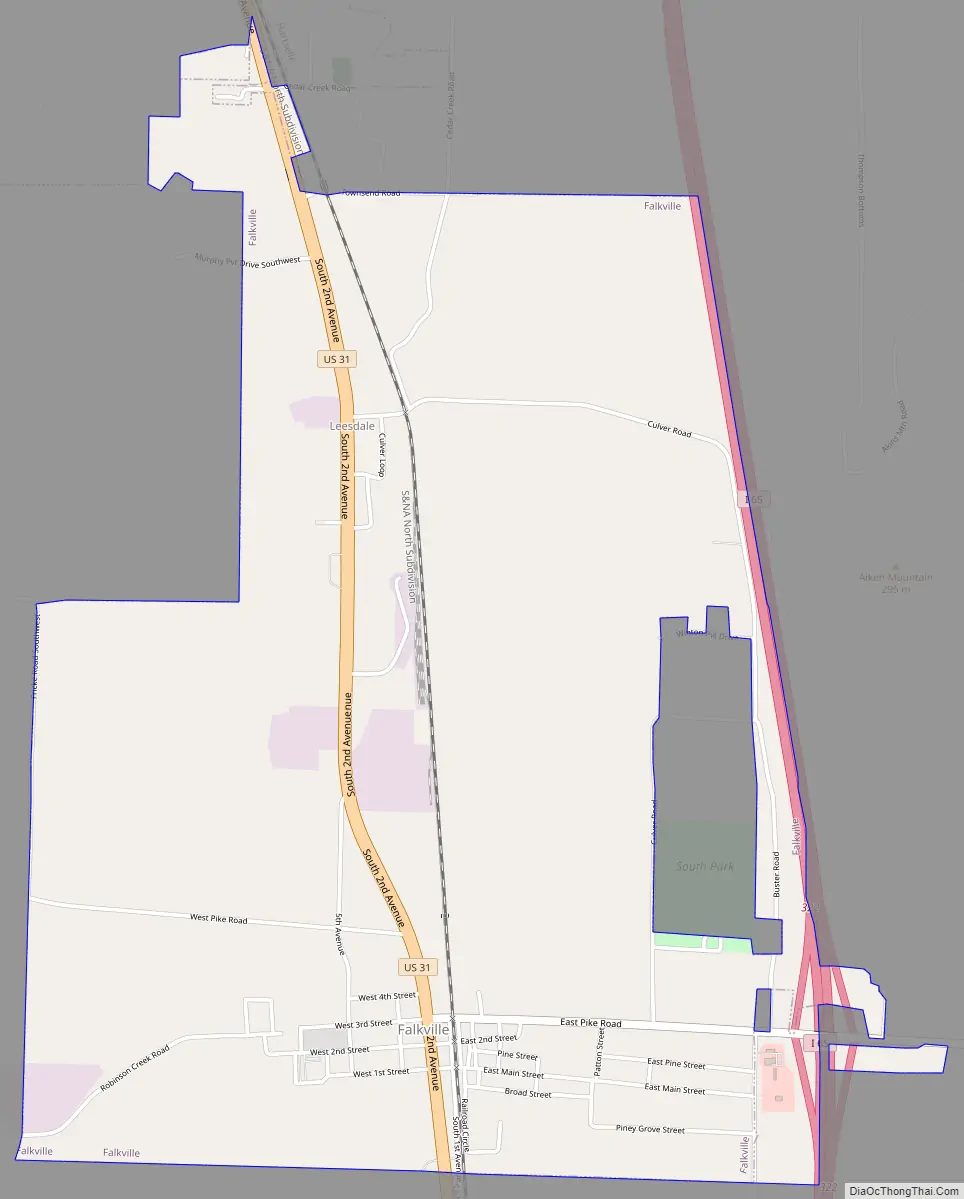
Falkville Road Map
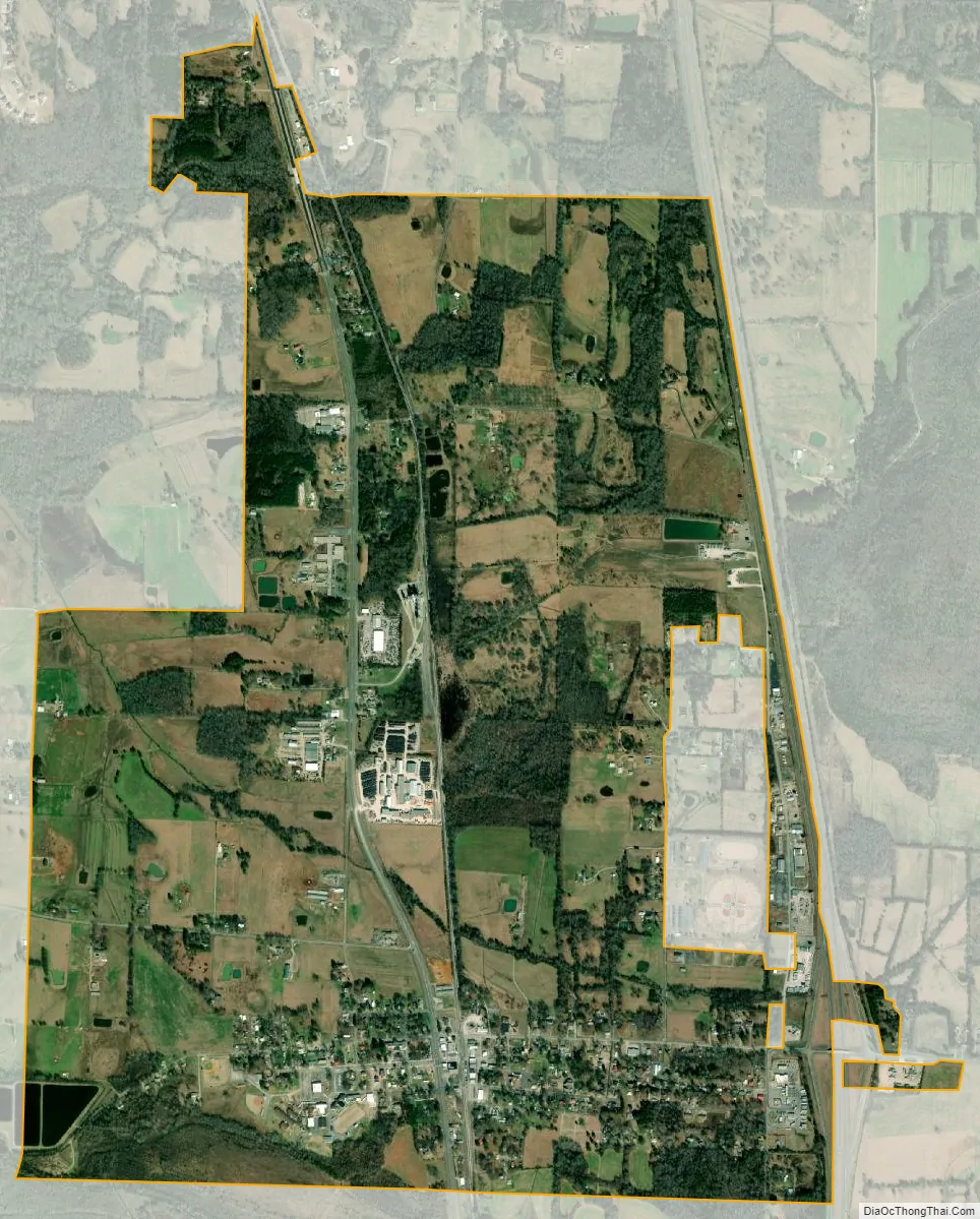
Falkville city Satellite Map
Geography
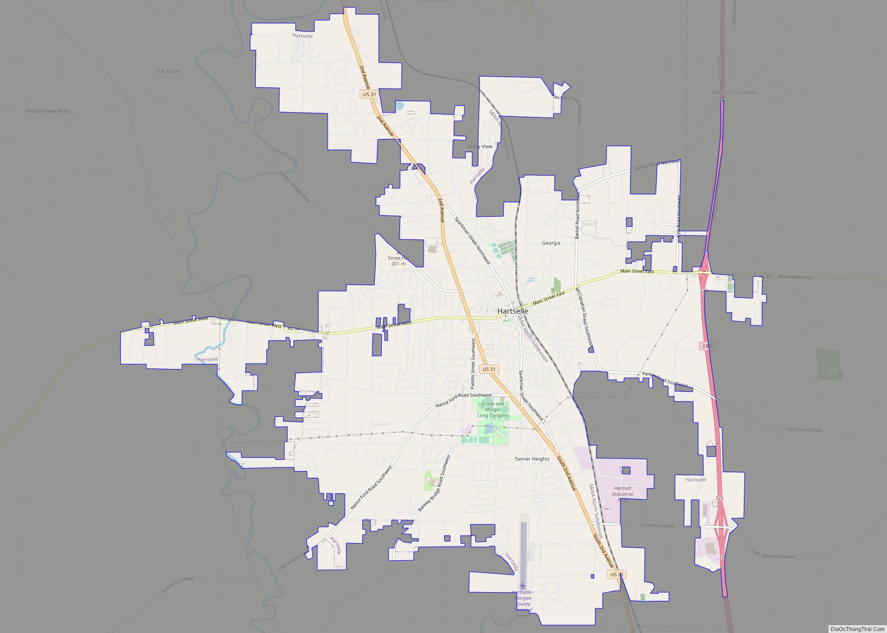
Falkville is located in southern Morgan County at 34°22′19″N 86°54′30″W / 34.37194°N 86.90833°W / 34.37194; -86.90833 (34.371919, -86.908381). The town is concentrated along U.S. Route 31, 5 miles (8 km) south of Hartselle. Interstate 65 forms the eastern edge of the town, with access from Exit 322. Decatur, the Morgan county seat, is 18 miles (29 km) to the north, Huntsville is 40 miles (64 km) to the northeast, and Cullman is 14 miles (23 km) to the south.
According to the U.S. Census Bureau, the town of Falkville has a total area of 3.8 square miles (9.8 km), of which 0.02 square miles (0.05 km), or 0.47%, are water. The town is drained by Robinson Creek and Painter Branch, west-flowing tributaries of Flint Creek, a north-flowing tributary of the Tennessee River.
See also
Map of Alabama State and its subdivision:- Autauga
- Baldwin
- Barbour
- Bibb
- Blount
- Bullock
- Butler
- Calhoun
- Chambers
- Cherokee
- Chilton
- Choctaw
- Clarke
- Clay
- Cleburne
- Coffee
- Colbert
- Conecuh
- Coosa
- Covington
- Crenshaw
- Cullman
- Dale
- Dallas
- De Kalb
- Elmore
- Escambia
- Etowah
- Fayette
- Franklin
- Geneva
- Greene
- Hale
- Henry
- Houston
- Jackson
- Jefferson
- Lamar
- Lauderdale
- Lawrence
- Lee
- Limestone
- Lowndes
- Macon
- Madison
- Marengo
- Marion
- Marshall
- Mobile
- Monroe
- Montgomery
- Morgan
- Perry
- Pickens
- Pike
- Randolph
- Russell
- Saint Clair
- Shelby
- Sumter
- Talladega
- Tallapoosa
- Tuscaloosa
- Walker
- Washington
- Wilcox
- Winston
- Alabama
- Alaska
- Arizona
- Arkansas
- California
- Colorado
- Connecticut
- Delaware
- District of Columbia
- Florida
- Georgia
- Hawaii
- Idaho
- Illinois
- Indiana
- Iowa
- Kansas
- Kentucky
- Louisiana
- Maine
- Maryland
- Massachusetts
- Michigan
- Minnesota
- Mississippi
- Missouri
- Montana
- Nebraska
- Nevada
- New Hampshire
- New Jersey
- New Mexico
- New York
- North Carolina
- North Dakota
- Ohio
- Oklahoma
- Oregon
- Pennsylvania
- Rhode Island
- South Carolina
- South Dakota
- Tennessee
- Texas
- Utah
- Vermont
- Virginia
- Washington
- West Virginia
- Wisconsin
- Wyoming