Grant is a town in Marshall County, Alabama, United States. As of the 2020 census, the population of Grant was 1,039, up from 896 at the 2010 census. It is included in the Huntsville-Decatur Combined Statistical Area. The town was incorporated on November 15, 1945, with Delbert Hodges serving as the first mayor.
| Name: | Grant town |
|---|---|
| LSAD Code: | 43 |
| LSAD Description: | town (suffix) |
| State: | Alabama |
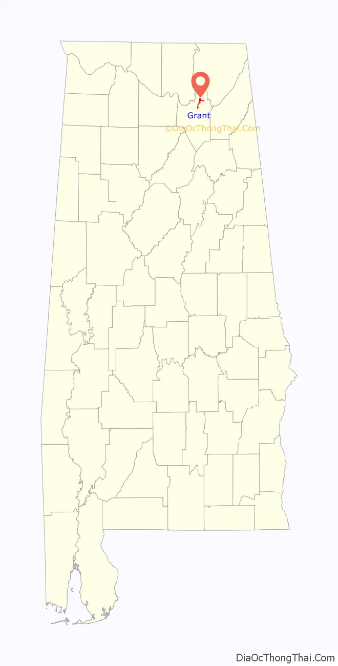
| County: | Marshall County |
| Elevation: | 1,250 ft (380 m) |
| Total Area: | 1.85 sq mi (4.81 km²) |
| Land Area: | 1.85 sq mi (4.80 km²) |
| Water Area: | 0.00 sq mi (0.01 km²) |
| Total Population: | 1,039 |
| Population Density: | 561.32/sq mi (216.68/km²) |
| ZIP code: | 35747 |
| Area code: | 256 |
| FIPS code: | 0131096 |
| GNISfeature ID: | 2406603 |
| Website: | www.grantal.org |
Online Interactive Map
Click on ![]() to view map in "full screen" mode.
to view map in "full screen" mode.
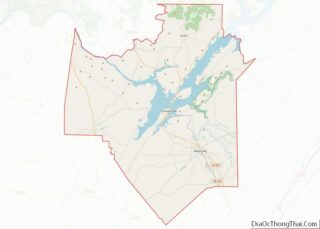
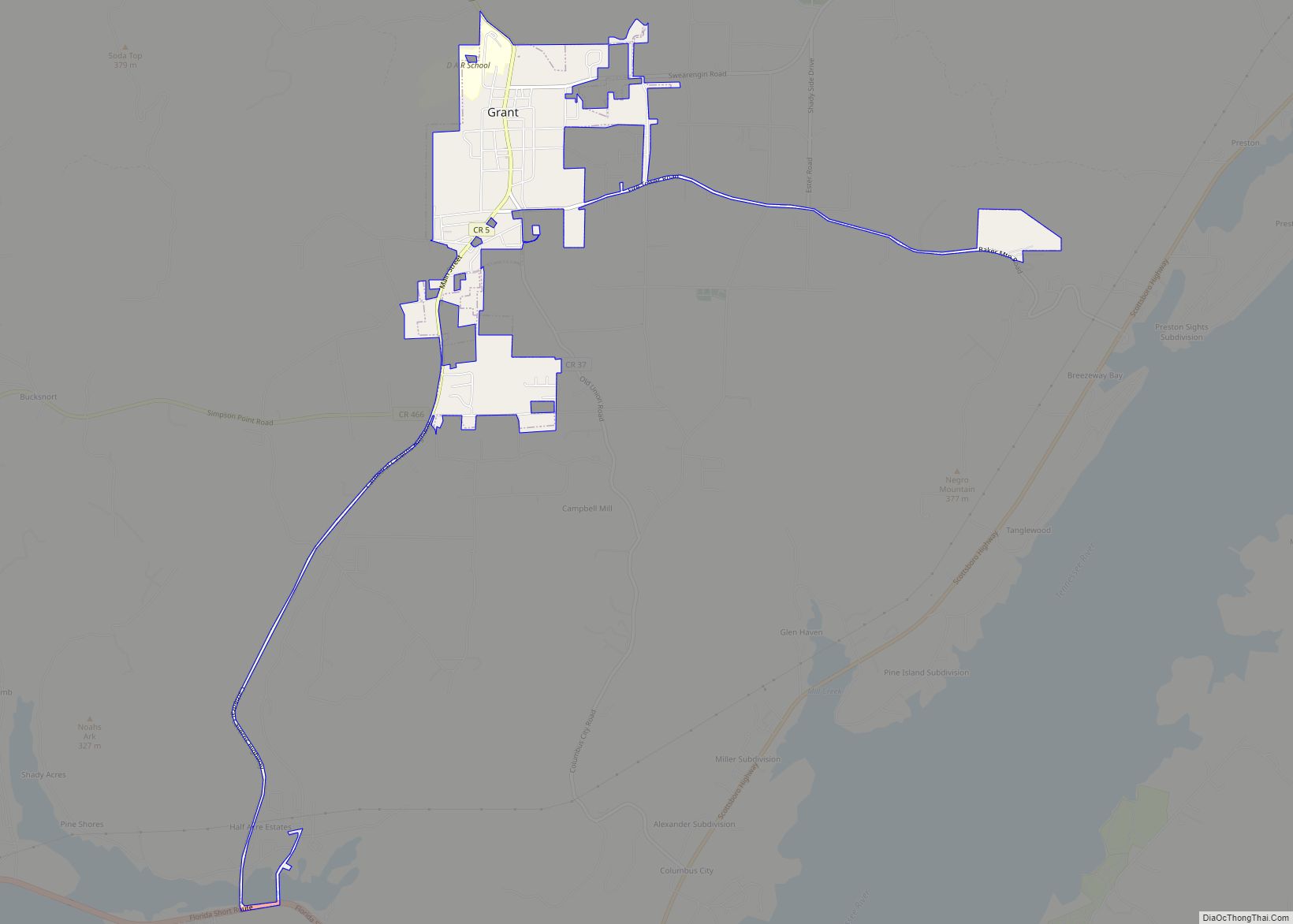
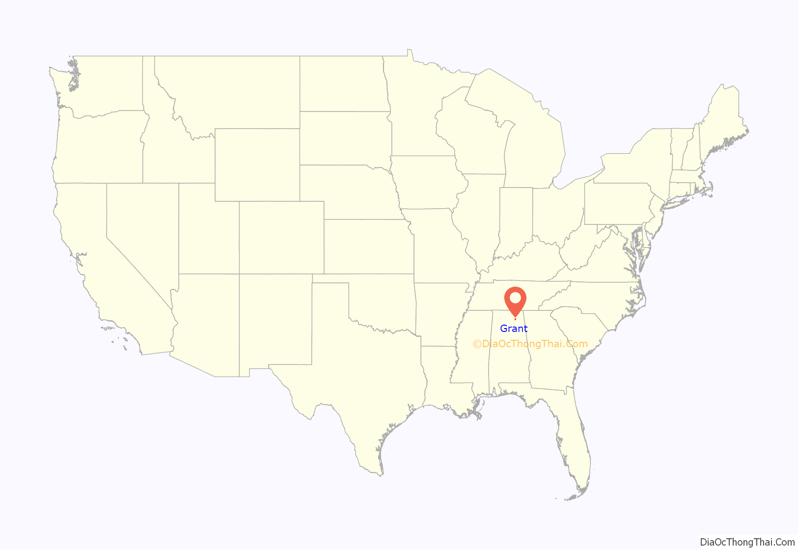
Grant location map. Where is Grant town?
History
Grant was settled in the late 1830s, and a post office was established in 1887. The town was named in honor of General Ulysses S. Grant, as many residents in the area had supported the Union during the American Civil War.
In 1924, the Daughters of the American Revolution (DAR) established the Kate Duncan Smith DAR School in Grant as part of a program to build schools in areas that lacked access to public education. The school, now listed on the National Register of Historic Places, still serves K-12 students, and remains the only K-12 school owned and operated by the DAR.
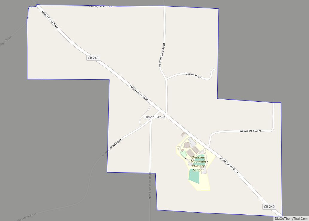
Grant Road Map
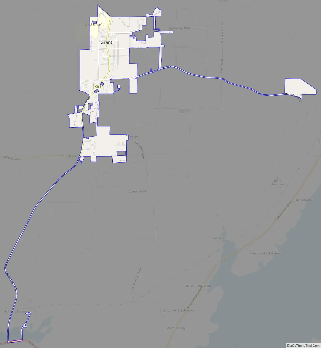
Grant city Satellite Map
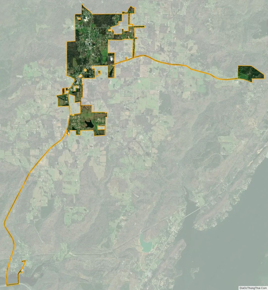
Geography
Grant is located in northeastern Marshall County at an elevation of 1,240 feet (380 m) on the plateau of Gunters Mountain. The town is concentrated along County Road 5 (Cathedral Caverns Highway, signed as Main Street in Grant) near the northern edge of Gunters Mountain, though the town includes corridors along CR 5 southward across the mountain to the shore of Guntersville Lake, and eastward along Baker Mountain Road to the edge of the mountain. Grant is 13 miles (21 km) north of Guntersville, 18 miles (29 km) southwest of Scottsboro, and 30 miles (48 km) southeast of Huntsville.
According to the U.S. Census Bureau, the town of Grant has a total area of 1.9 square miles (4.9 km), of which 2.71 acres (10,961 m), or 0.22%, are water. A historic cave, Cathedral Caverns, lies 5 miles (8 km) north of Grant near Kennamer Cove.
See also
Map of Alabama State and its subdivision:- Autauga
- Baldwin
- Barbour
- Bibb
- Blount
- Bullock
- Butler
- Calhoun
- Chambers
- Cherokee
- Chilton
- Choctaw
- Clarke
- Clay
- Cleburne
- Coffee
- Colbert
- Conecuh
- Coosa
- Covington
- Crenshaw
- Cullman
- Dale
- Dallas
- De Kalb
- Elmore
- Escambia
- Etowah
- Fayette
- Franklin
- Geneva
- Greene
- Hale
- Henry
- Houston
- Jackson
- Jefferson
- Lamar
- Lauderdale
- Lawrence
- Lee
- Limestone
- Lowndes
- Macon
- Madison
- Marengo
- Marion
- Marshall
- Mobile
- Monroe
- Montgomery
- Morgan
- Perry
- Pickens
- Pike
- Randolph
- Russell
- Saint Clair
- Shelby
- Sumter
- Talladega
- Tallapoosa
- Tuscaloosa
- Walker
- Washington
- Wilcox
- Winston
- Alabama
- Alaska
- Arizona
- Arkansas
- California
- Colorado
- Connecticut
- Delaware
- District of Columbia
- Florida
- Georgia
- Hawaii
- Idaho
- Illinois
- Indiana
- Iowa
- Kansas
- Kentucky
- Louisiana
- Maine
- Maryland
- Massachusetts
- Michigan
- Minnesota
- Mississippi
- Missouri
- Montana
- Nebraska
- Nevada
- New Hampshire
- New Jersey
- New Mexico
- New York
- North Carolina
- North Dakota
- Ohio
- Oklahoma
- Oregon
- Pennsylvania
- Rhode Island
- South Carolina
- South Dakota
- Tennessee
- Texas
- Utah
- Vermont
- Virginia
- Washington
- West Virginia
- Wisconsin
- Wyoming