Hackleburg is a town in Marion County, Alabama, United States. It incorporated on August 23, 1909. At the 2020 census, its population was 1,425, down from 1,516 at the 2010 census.
| Name: | Hackleburg town |
|---|---|
| LSAD Code: | 43 |
| LSAD Description: | town (suffix) |
| State: | Alabama |
| County: | Marion County |
| Elevation: | 938 ft (286 m) |
| Total Area: | 15.29 sq mi (39.6 km²) |
| Land Area: | 15.28 sq mi (39.6 km²) |
| Water Area: | 0.01 sq mi (0.03 km²) |
| Total Population: | 1,425 |
| Population Density: | 93.29/sq mi (36.02/km²) |
| ZIP code: | 35564 |
| Area code: | 205, 659 |
| FIPS code: | 0132560 |
| GNISfeature ID: | 0119530 |
| Website: | townofhackleburg.com |
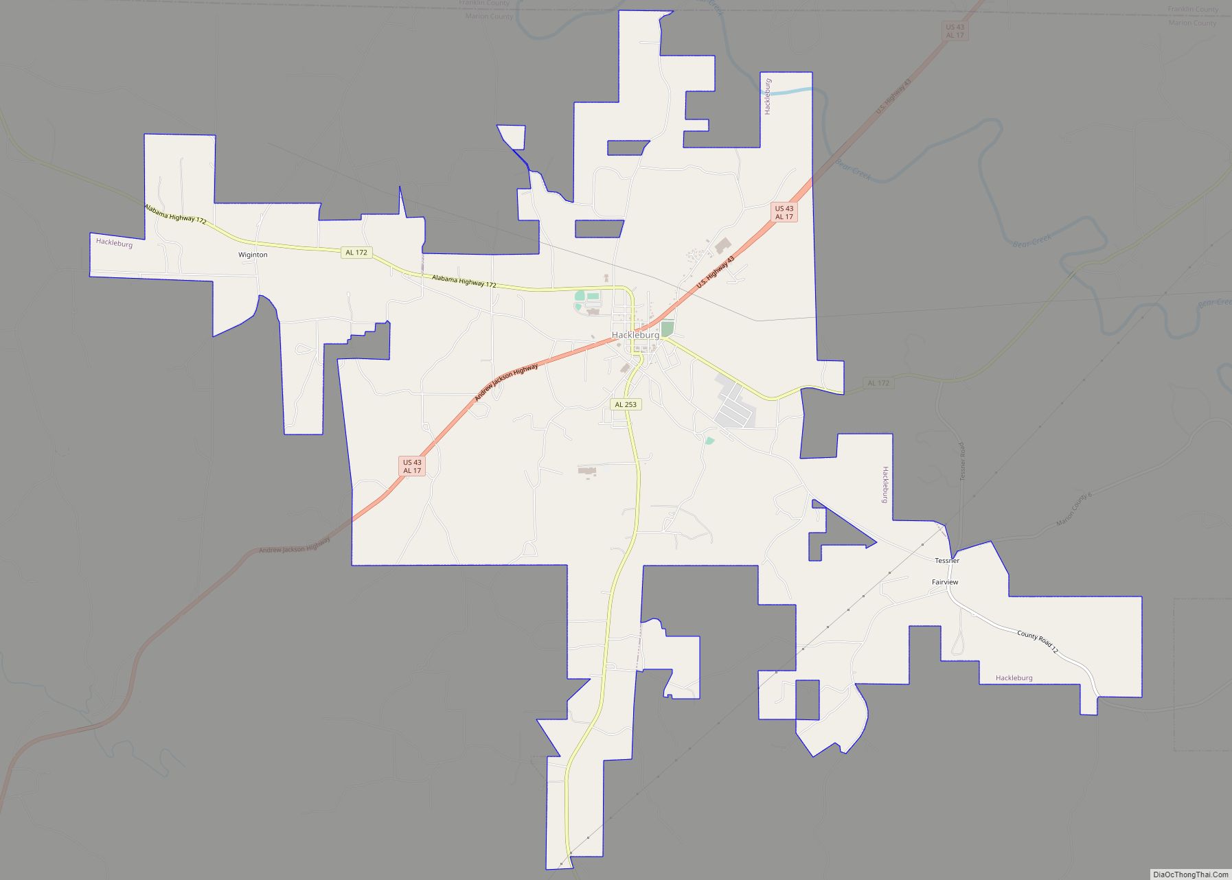
Online Interactive Map
Click on ![]() to view map in "full screen" mode.
to view map in "full screen" mode.
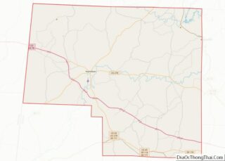
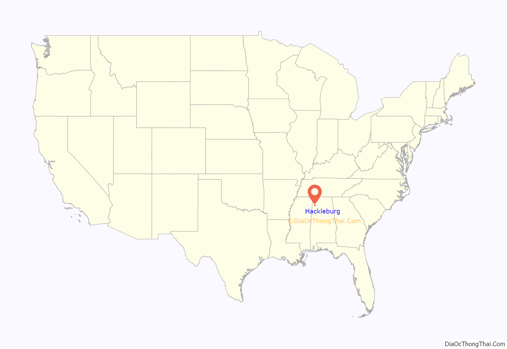
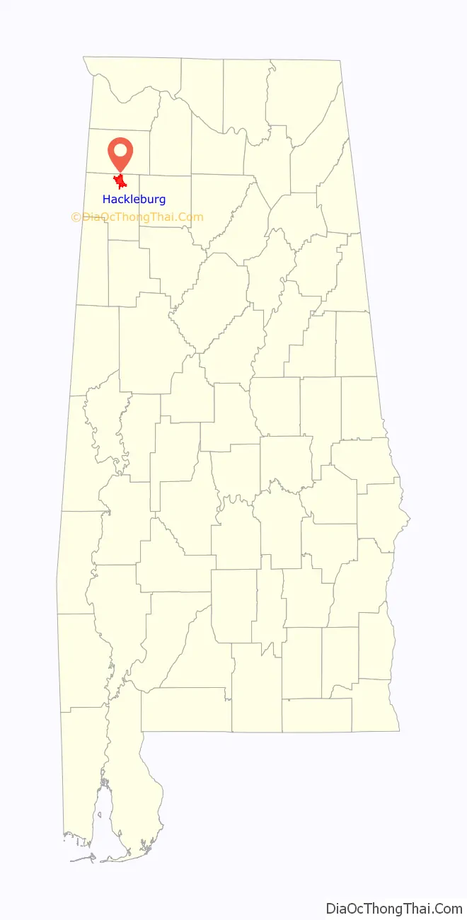
Hackleburg location map. Where is Hackleburg town?
History
Hackleburg developed in the early 19th century as a stop along Jackson’s Military Road. It was named by the early drovers of sheep who passed through the region while en route to market in Tuscumbia, and whose sheep encountered a thorny plant growing in abundance in that area and known locally by the name hack burrs (often corrupted to “hack berries”) and which same plants were often fatal to sheep, besides being destructive to their wool. A post office opened in the town in 1885.
Hackleburg incorporated in 1909 following the construction of a branch line of the Illinois Central Railroad through the area. Hackleburg marks the highest point (some 931 feet above sea level) along the route connecting Miami, Florida with Chicago, Illinois.
2011 tornado
On April 27, 2011, Hackleburg suffered catastrophic damage when it was hit by an EF5 tornado – part of the 2011 Super Outbreak. Eighteen Hackleburg residents died in the storm. On May 2, the Red Cross declared the city 75 percent destroyed. Many people rebuilt here, although 2017 population estimates showed a slight decline from 2010.
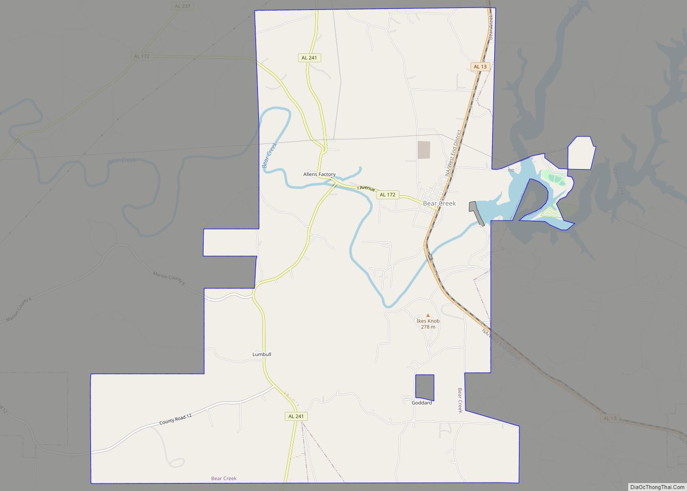
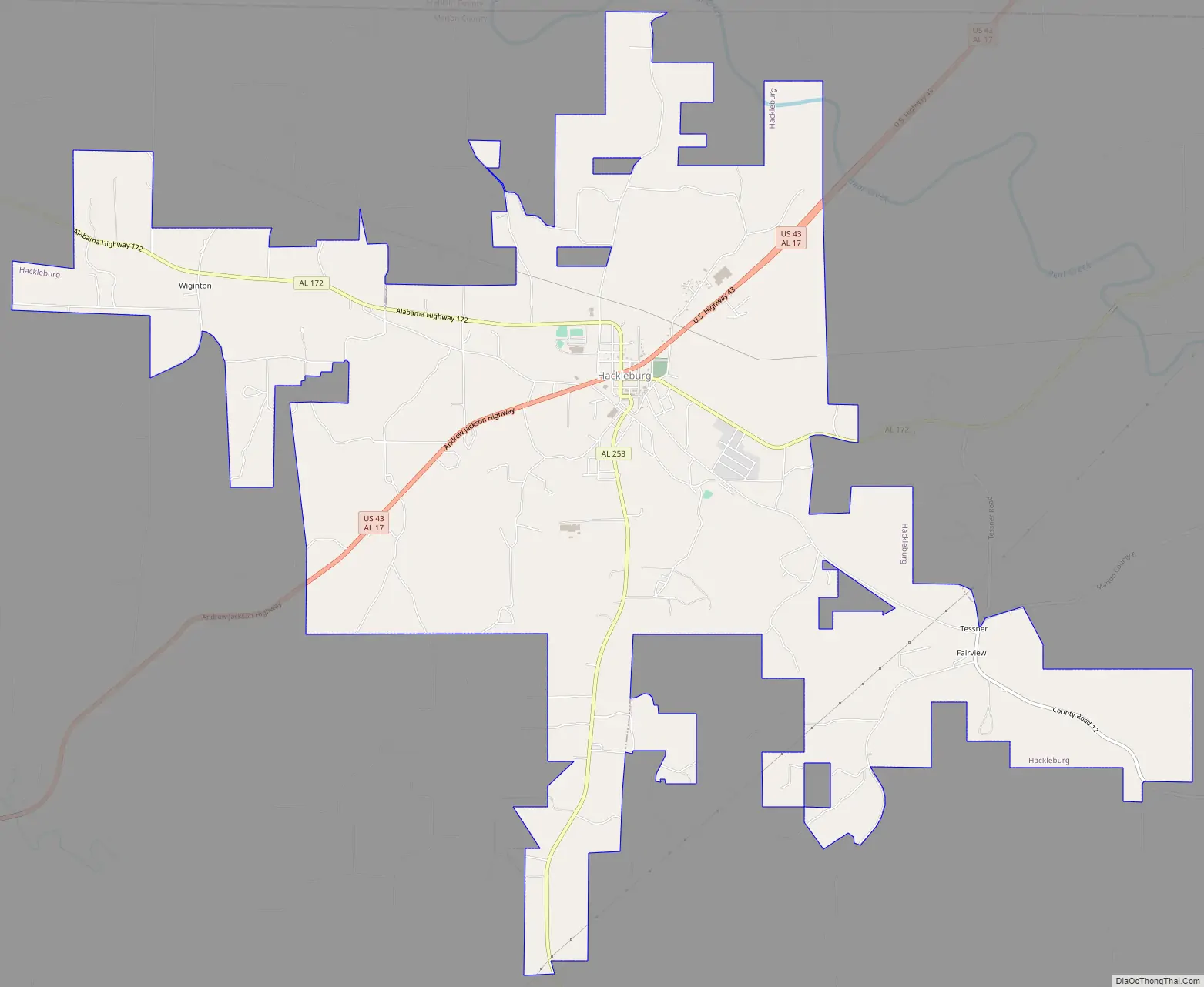
Hackleburg Road Map
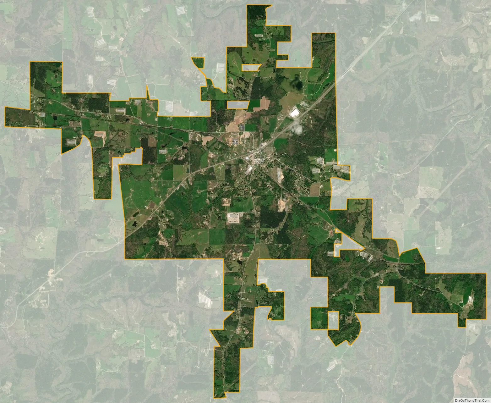
Hackleburg city Satellite Map
Geography
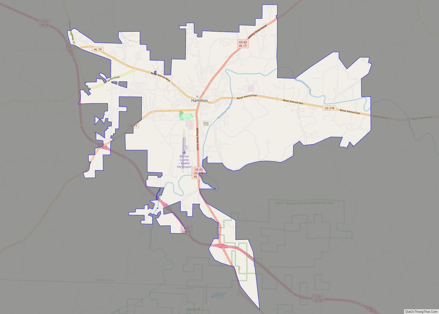
Hackleburg is located in northern Marion County at 34°16′17″N 87°49′51″W / 34.27139°N 87.83083°W / 34.27139; -87.83083. U.S. Route 43 and Alabama State Route 172 intersect in the center of town. US 43 connects the town with Russellville 18 miles (29 km) to the north and Hamilton, the Marion county seat, 14 miles (23 km) to the southwest.
Dismals Canyon, a National Natural Landmark, is located 4 miles (6 km) northeast of Hackleburg. According to the U.S. Census Bureau, the town has a total area of 15.3 square miles (40 km), of which 0.01 square miles (0.03 km), or 0.07%, are water. The town center is on the Tennessee Valley Divide (watershed), with half of the town draining north toward Bear Creek, a tributary of the Tennessee River, and half draining south to tributaries of Clifty Creek, part of the Tombigbee River basin.
See also
Map of Alabama State and its subdivision:- Autauga
- Baldwin
- Barbour
- Bibb
- Blount
- Bullock
- Butler
- Calhoun
- Chambers
- Cherokee
- Chilton
- Choctaw
- Clarke
- Clay
- Cleburne
- Coffee
- Colbert
- Conecuh
- Coosa
- Covington
- Crenshaw
- Cullman
- Dale
- Dallas
- De Kalb
- Elmore
- Escambia
- Etowah
- Fayette
- Franklin
- Geneva
- Greene
- Hale
- Henry
- Houston
- Jackson
- Jefferson
- Lamar
- Lauderdale
- Lawrence
- Lee
- Limestone
- Lowndes
- Macon
- Madison
- Marengo
- Marion
- Marshall
- Mobile
- Monroe
- Montgomery
- Morgan
- Perry
- Pickens
- Pike
- Randolph
- Russell
- Saint Clair
- Shelby
- Sumter
- Talladega
- Tallapoosa
- Tuscaloosa
- Walker
- Washington
- Wilcox
- Winston
- Alabama
- Alaska
- Arizona
- Arkansas
- California
- Colorado
- Connecticut
- Delaware
- District of Columbia
- Florida
- Georgia
- Hawaii
- Idaho
- Illinois
- Indiana
- Iowa
- Kansas
- Kentucky
- Louisiana
- Maine
- Maryland
- Massachusetts
- Michigan
- Minnesota
- Mississippi
- Missouri
- Montana
- Nebraska
- Nevada
- New Hampshire
- New Jersey
- New Mexico
- New York
- North Carolina
- North Dakota
- Ohio
- Oklahoma
- Oregon
- Pennsylvania
- Rhode Island
- South Carolina
- South Dakota
- Tennessee
- Texas
- Utah
- Vermont
- Virginia
- Washington
- West Virginia
- Wisconsin
- Wyoming