Hazel Green is an unincorporated community and census-designated place (CDP) in Madison County, Alabama, United States, and is included in the Huntsville-Decatur Combined Statistical Area. As of the 2020 census, the population of the community was 4,105, up from 3,630 at the 2010 census.
| Name: | Hazel Green CDP |
|---|---|
| LSAD Code: | 57 |
| LSAD Description: | CDP (suffix) |
| State: | Alabama |
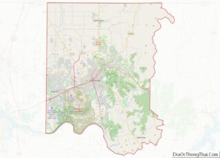
| County: | Madison County |
| Elevation: | 784 ft (239 m) |
| Total Area: | 10.05 sq mi (26.02 km²) |
| Land Area: | 10.03 sq mi (25.98 km²) |
| Water Area: | 0.02 sq mi (0.04 km²) |
| Total Population: | 4,105 |
| Population Density: | 409.15/sq mi (157.98/km²) |
| ZIP code: | 35750 |
| Area code: | 256 |
| FIPS code: | 0133808 |
| GNISfeature ID: | 2402573 |
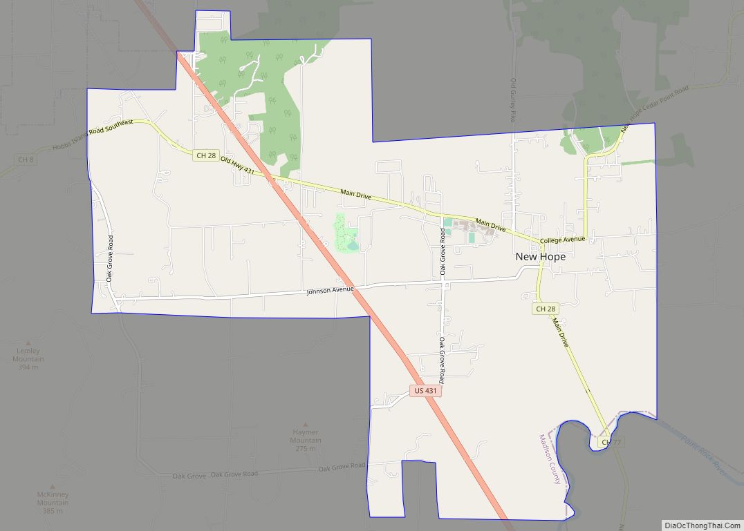
Online Interactive Map
Click on ![]() to view map in "full screen" mode.
to view map in "full screen" mode.
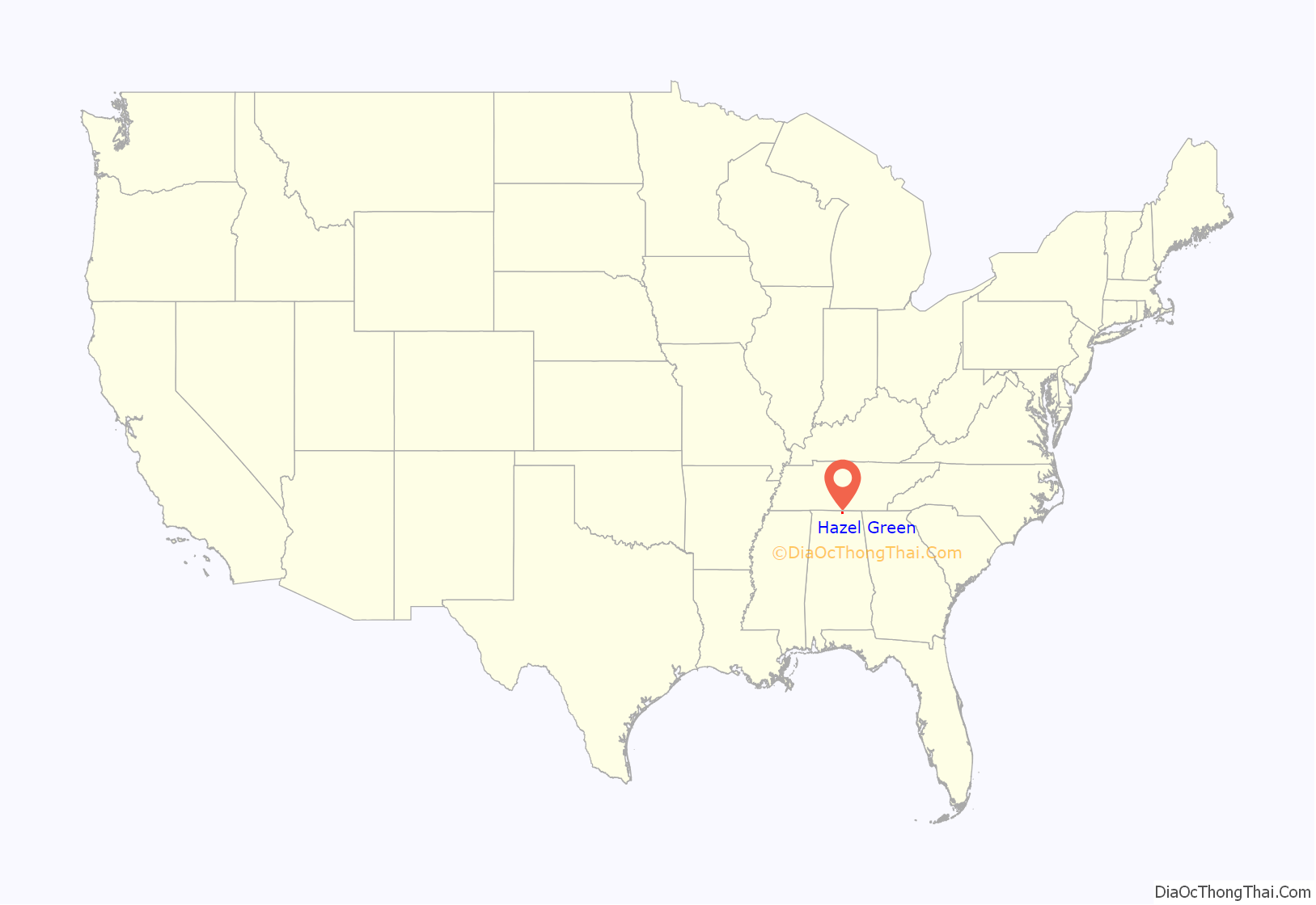
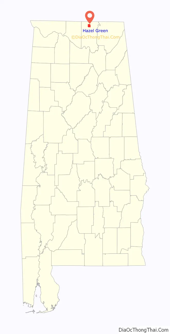
Hazel Green location map. Where is Hazel Green CDP?
History
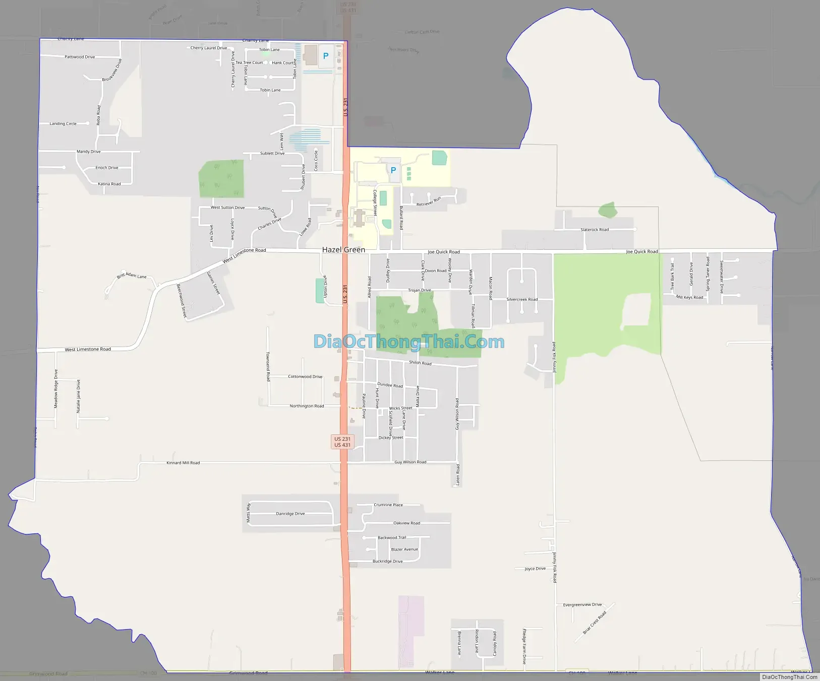
The town was named Hazel Green because of the hazel bushes along the road which were of a vibrant green color. In the early 19th century, several farmers from Georgia and the Carolinas settled in Hazel Green after discovering that the area had some of the richest soil in the Southeast. A post office was built in 1819 on the southeast corner of the intersection now known as Hwy. 231-431 and Joe Quick Road. Several grocers and rest stops were also built along this intersection. It became a bustling community and incorporated into a town on June 15, 1821, by an act of the state legislature, with a population of approximately 400. At the time, Hazel Green was a small, rural community that served as a crossroads. Roads connected Hazel Green with Athens to the west, Winchester, Tennessee, to the northeast, Huntsville to the south, and Nashville to the north. These roads intersected at what is now the intersection of US Highway 231/431, Joe Quick Road, and West Limestone Road.
On April 3, 1974, Hazel Green was hit by an F5 tornado during the 1974 Super Outbreak.
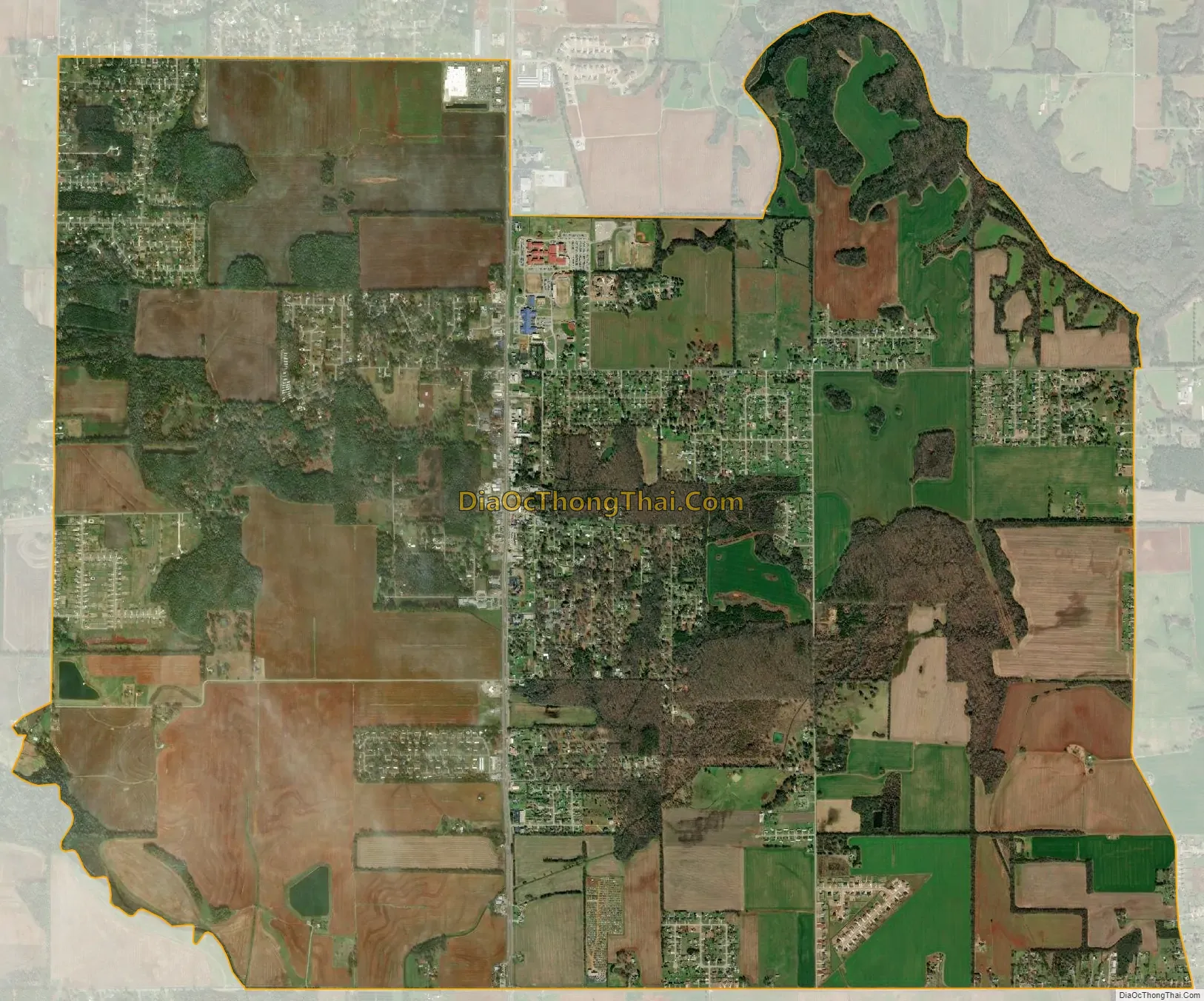
As of 2022, Hazel Green is currently undergoing a residential and retail boom, sparked by rampant job growth coming from nearby Huntsville. Hundreds of acres of generational farmland is quickly being replaced with houses, multi-family complexes, fast-food restaurant chains, and various other retail chains. The topic of incorporation to accommodate this sudden explosion of growth is becoming a popular discussion amongst existing residents.
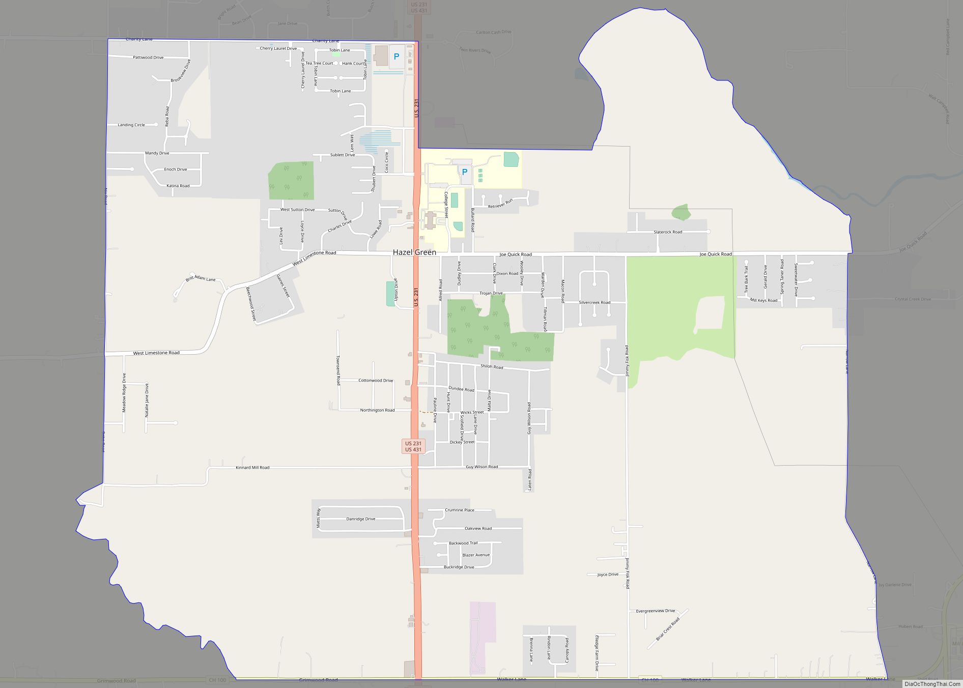
Hazel Green Road Map
Hazel Green city Satellite Map
Geography
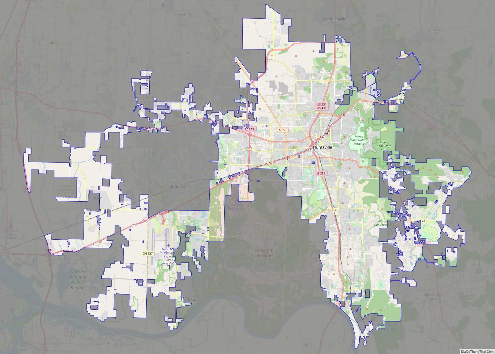
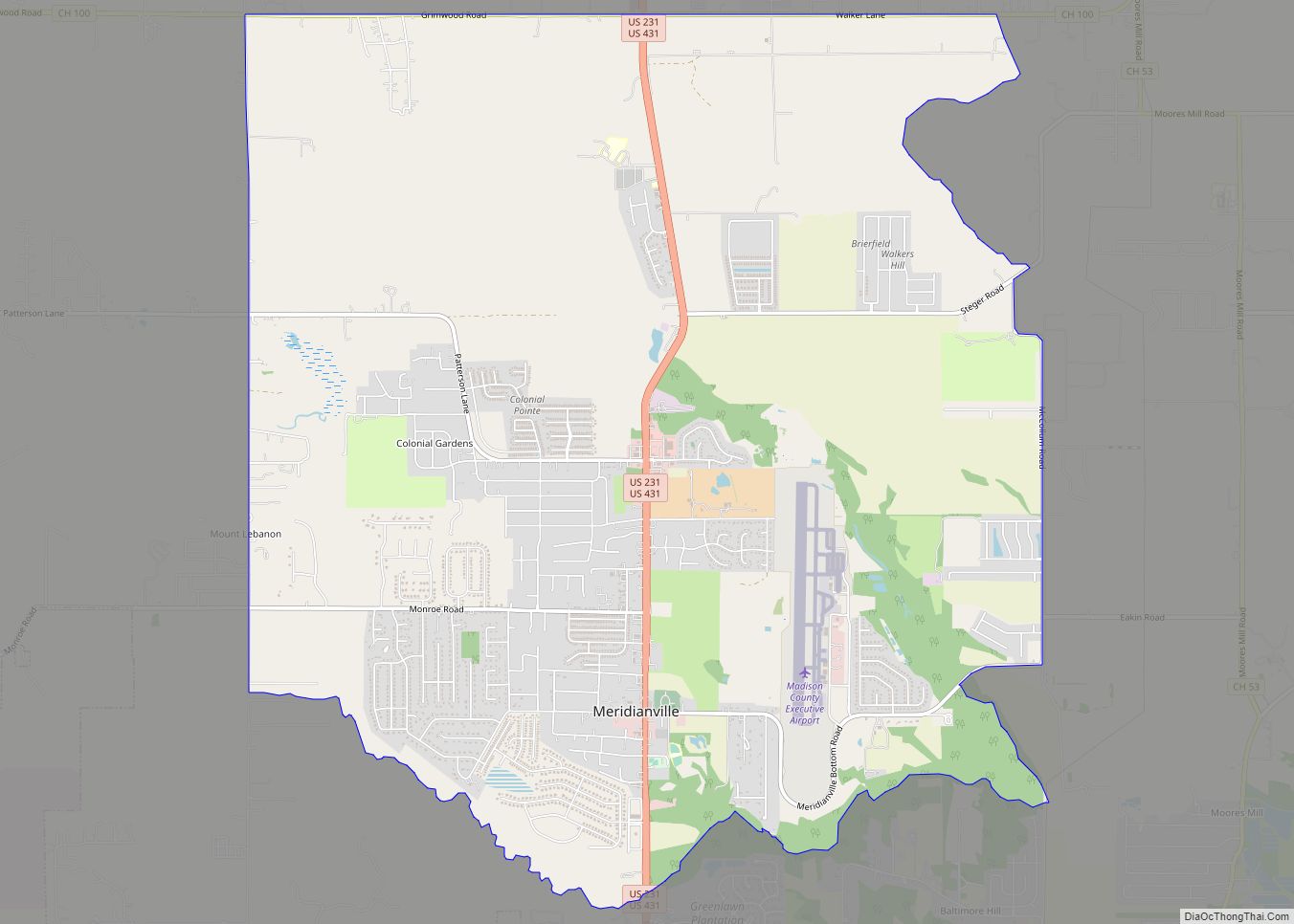
Hazel Green is located in northern Madison County at 34°55′25″N 86°34′2″W / 34.92361°N 86.56722°W / 34.92361; -86.56722 (34.923712, -86.567206). It is 15 miles (24 km) north of Huntsville and the same distance south of Fayetteville, Tennessee. Hazel Green is bordered to the south by Meridianville and to the southeast by Moores Mill.
According to the U.S. Census Bureau, the Hazel Green CDP has a total area of 10.0 square miles (26.0 km), of which 0.02 square miles (0.04 km), or 0.13%, are water. The Flint River, a south-flowing tributary of the Tennessee River, runs along the northeast edge of the community.
Major roads
- U.S. Route 231
- U.S. Route 431
See also
Map of Alabama State and its subdivision:- Autauga
- Baldwin
- Barbour
- Bibb
- Blount
- Bullock
- Butler
- Calhoun
- Chambers
- Cherokee
- Chilton
- Choctaw
- Clarke
- Clay
- Cleburne
- Coffee
- Colbert
- Conecuh
- Coosa
- Covington
- Crenshaw
- Cullman
- Dale
- Dallas
- De Kalb
- Elmore
- Escambia
- Etowah
- Fayette
- Franklin
- Geneva
- Greene
- Hale
- Henry
- Houston
- Jackson
- Jefferson
- Lamar
- Lauderdale
- Lawrence
- Lee
- Limestone
- Lowndes
- Macon
- Madison
- Marengo
- Marion
- Marshall
- Mobile
- Monroe
- Montgomery
- Morgan
- Perry
- Pickens
- Pike
- Randolph
- Russell
- Saint Clair
- Shelby
- Sumter
- Talladega
- Tallapoosa
- Tuscaloosa
- Walker
- Washington
- Wilcox
- Winston
- Alabama
- Alaska
- Arizona
- Arkansas
- California
- Colorado
- Connecticut
- Delaware
- District of Columbia
- Florida
- Georgia
- Hawaii
- Idaho
- Illinois
- Indiana
- Iowa
- Kansas
- Kentucky
- Louisiana
- Maine
- Maryland
- Massachusetts
- Michigan
- Minnesota
- Mississippi
- Missouri
- Montana
- Nebraska
- Nevada
- New Hampshire
- New Jersey
- New Mexico
- New York
- North Carolina
- North Dakota
- Ohio
- Oklahoma
- Oregon
- Pennsylvania
- Rhode Island
- South Carolina
- South Dakota
- Tennessee
- Texas
- Utah
- Vermont
- Virginia
- Washington
- West Virginia
- Wisconsin
- Wyoming