Winchester is a city in and the county seat of Franklin County, Tennessee, United States. It is part of the Tullahoma, Tennessee Micropolitan Statistical Area. The population of Winchester as of the 2020 census was 9,375.
| Name: | Winchester city |
|---|---|
| LSAD Code: | 25 |
| LSAD Description: | city (suffix) |
| State: | Tennessee |
| County: | Franklin County |
| Incorporated: | 1821 |
| Elevation: | 974 ft (297 m) |
| Total Area: | 11.71 sq mi (30.33 km²) |
| Land Area: | 10.72 sq mi (27.78 km²) |
| Water Area: | 0.99 sq mi (2.55 km²) |
| Total Population: | 9,375 |
| Population Density: | 874.13/sq mi (337.50/km²) |
| ZIP code: | 37398 |
| Area code: | 931 |
| FIPS code: | 4781080 |
| GNISfeature ID: | 1274848 |
| Website: | www.winchester-tn.com |
Online Interactive Map
Click on ![]() to view map in "full screen" mode.
to view map in "full screen" mode.
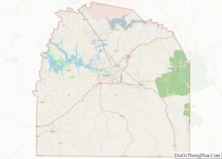
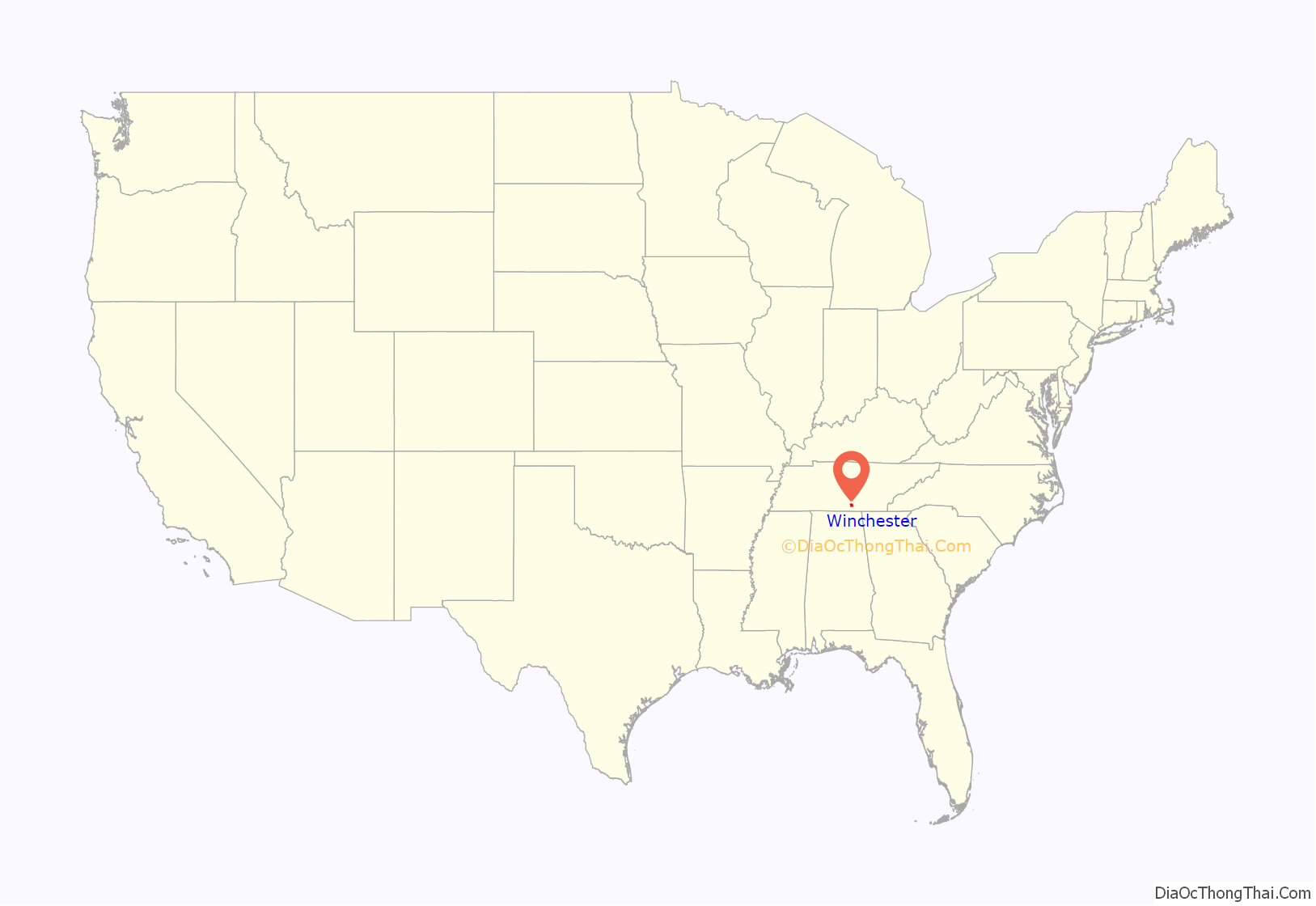
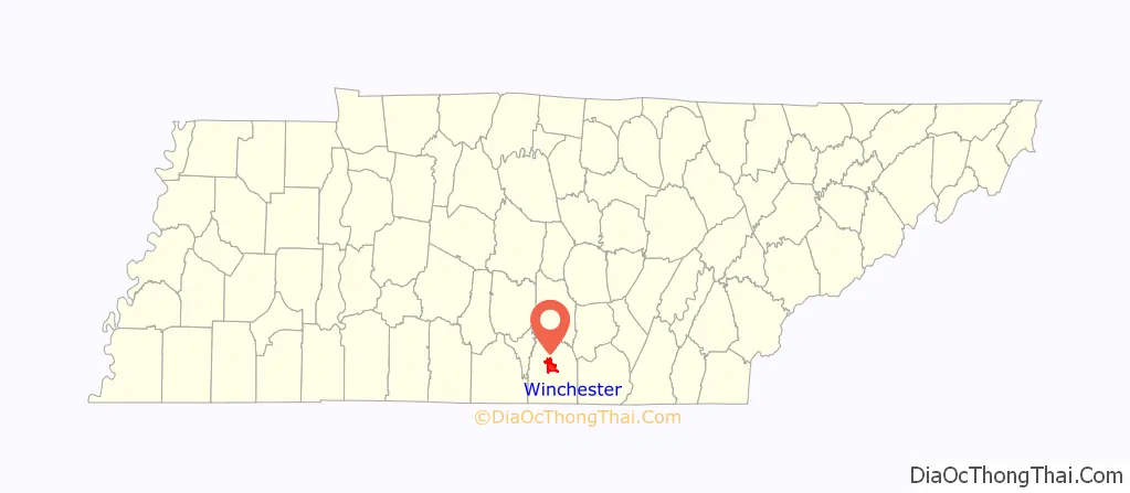
Winchester location map. Where is Winchester city?
History
Winchester was created as the seat of justice for Franklin County by act of the Tennessee Legislature on November 22, 1809, and was laid out the following year. The town is named for James Winchester, a soldier in the American Revolution, first Speaker of the Tennessee Legislature, and a brigadier general in the War of 1812.
Mary Sharp College (originally the “Tennessee and Alabama Female Institute”, but later renamed in honor of Mary Corn Sharp, a donor) was founded in 1851 by Z. C. Graves and the Baptist Church. Though a women’s college, it offered a classical curriculum based upon what was being offered at the time by Amherst College, Brown University, and the University of Virginia. It closed in 1896. During the 19th century, the institution helped make Winchester an educational center. Other private schools in the city were Carrick Academy for male students (founded in 1809), Winchester Female Academy (founded in 1835), and Winchester Normal College.
The city was occupied first by Confederate and then by Union troops during the Civil War. Winchester, along with the rest of Franklin County, seceded from the Union several months before the rest of Tennessee, unofficially becoming a part of Alabama until the rest of the state seceded. It lay on the line of retreat to Chattanooga followed by the Confederate Army of Tennessee during the campaign of 1863.
Recreation in Winchester received a significant boost when the Tennessee Valley Authority started construction of the Tims Ford Dam along the Elk River in 1966. The project was completed in 1972, and Tims Ford Lake is now known for excellent boating and bass fishing opportunities. Tims Ford State Park is located along the lake’s shoreline.
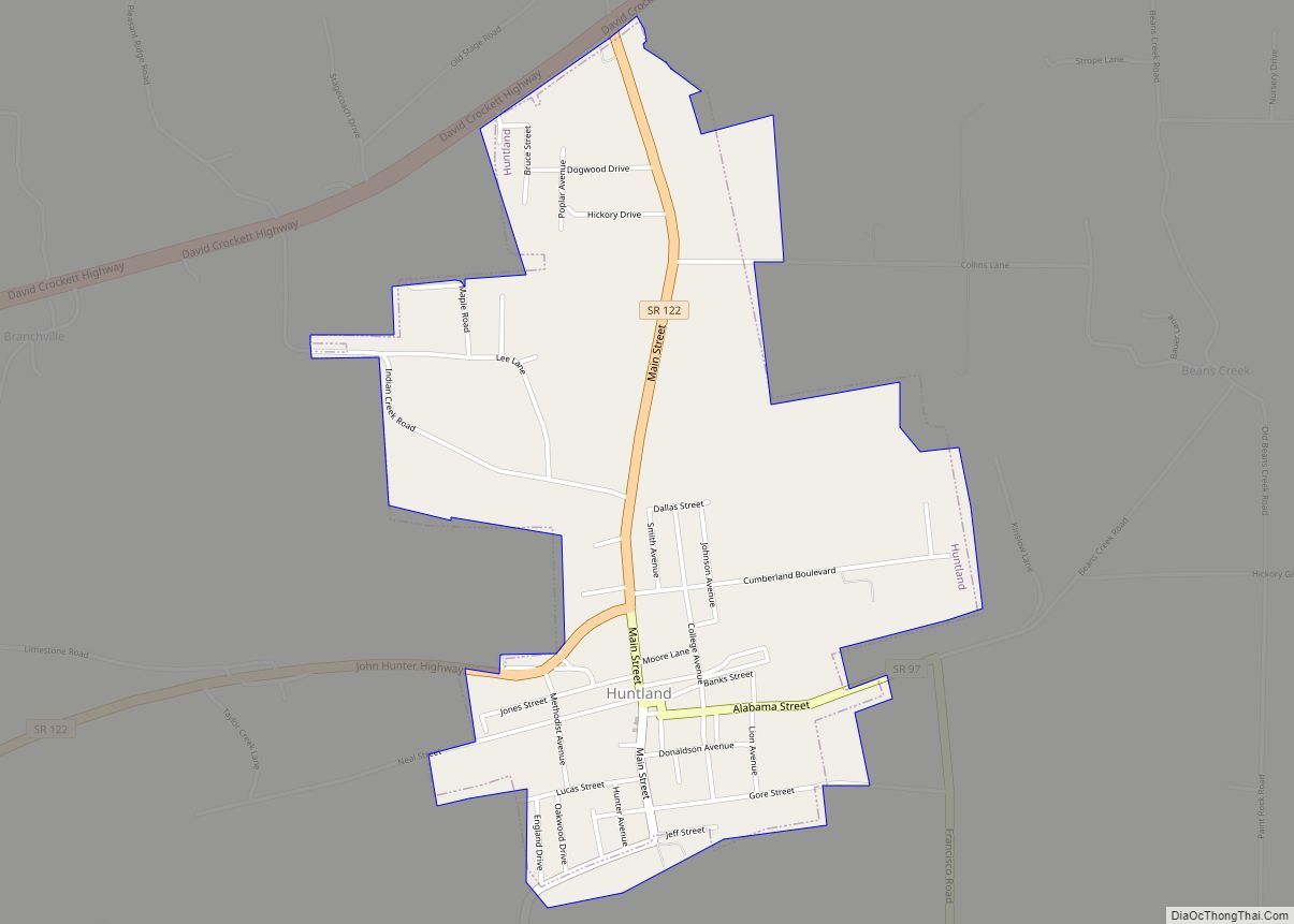
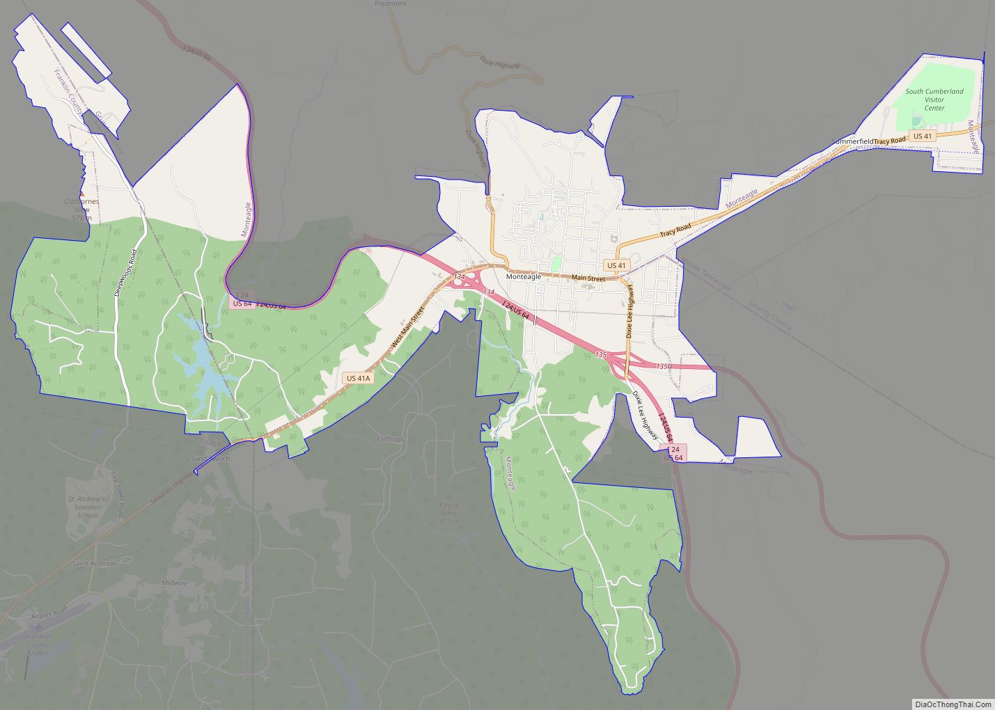
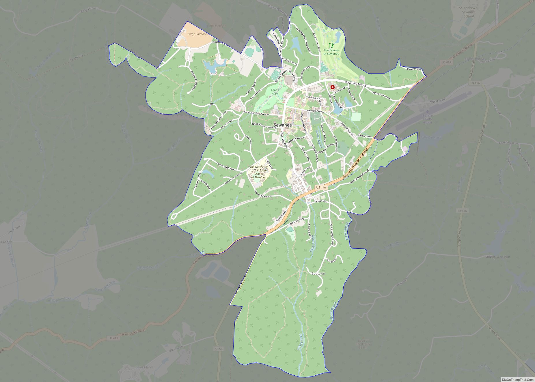
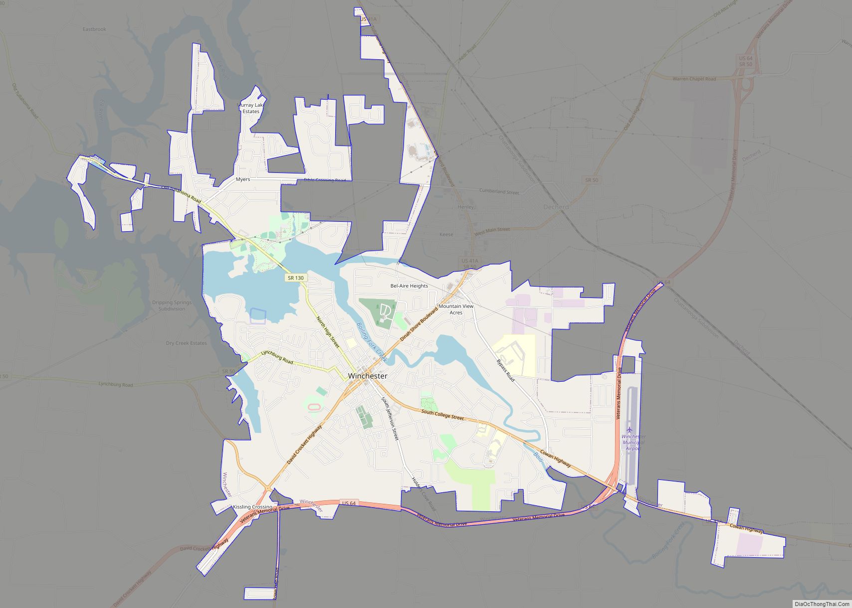
Winchester Road Map
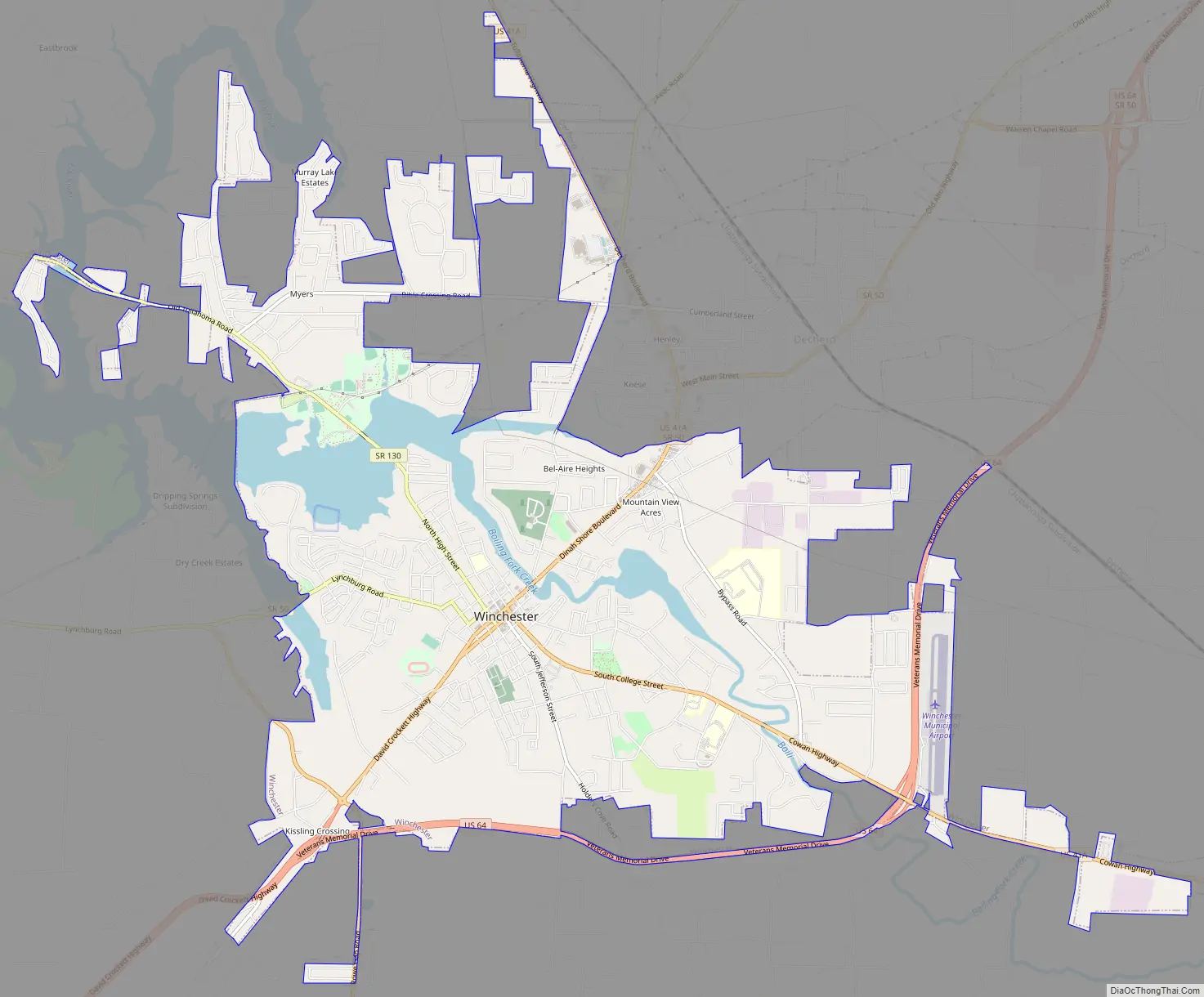
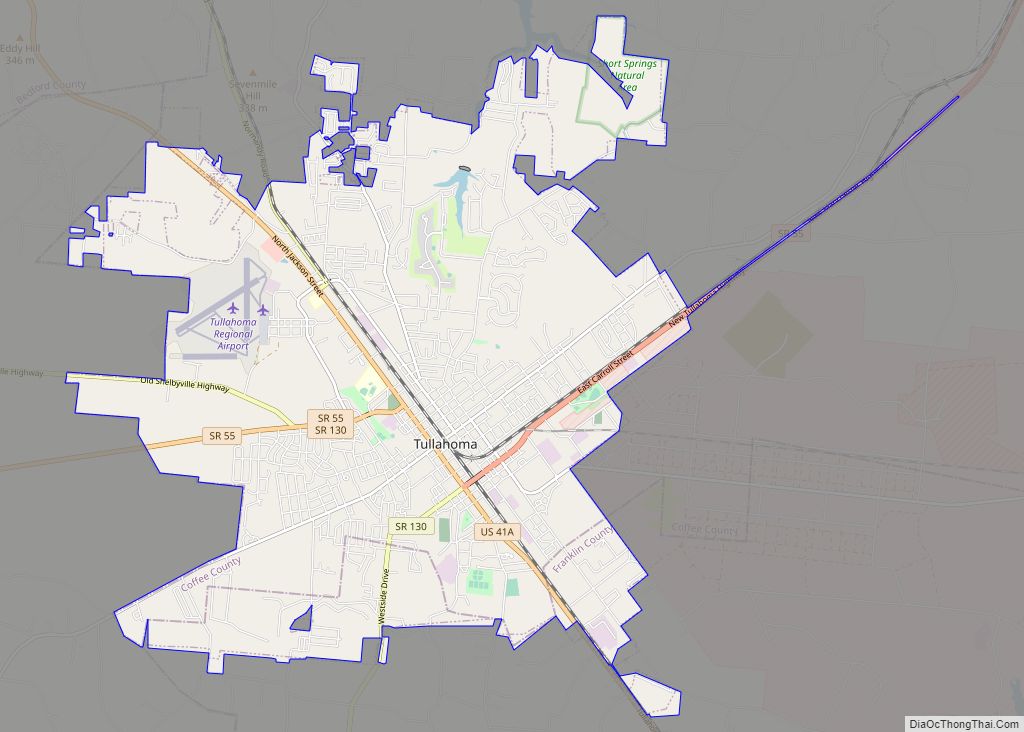
Winchester city Satellite Map
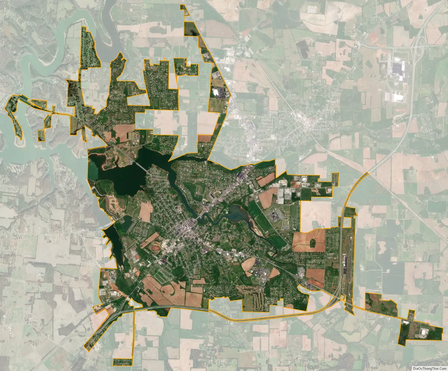
Geography
Winchester is located slightly north of the center of Franklin County, and is bordered to the north by the city of Decherd. The city center is just south of Boiling Fork Creek, now an arm of Tims Ford Lake. Dry Creek forms another arm of the lake along the western boundary of the city, and the city limits extend as far as the Elk River arm of the lake 4 miles (6 km) north of downtown.
U.S. Route 41A passes through the center of town, coming in from the southeast as South College Street and leaving to the northeast as Dinah Shore Boulevard. US 41A leads east 6 miles (10 km) to Cowan and 12 miles (19 km) to Sewanee, as well as north 6 miles (10 km) to Estill Springs and 14 miles (23 km) to Tullahoma. Tennessee State Route 16 leaves southwest from the center of town as 1st Avenue and leads 19 miles (31 km) to the Alabama border. U.S. Route 64 bypasses Winchester to the south and east, leading northeast 16 miles (26 km) to Interstate 24 near Pelham and west 32 miles (51 km) to Fayetteville. Tennessee State Route 50 leads west and northwest from Winchester 20 miles (32 km) to Lynchburg, and Tennessee State Route 130 leads northwest 6 miles (10 km) to Winchester Springs and 16 miles (26 km) to Tullahoma.
According to the United States Census Bureau, the city has a total area of 11.7 square miles (30.3 km), of which 10.7 square miles (27.8 km) is land and 1.0 square mile (2.6 km), or 8.47%, is water.
See also
Map of Tennessee State and its subdivision:- Anderson
- Bedford
- Benton
- Bledsoe
- Blount
- Bradley
- Campbell
- Cannon
- Carroll
- Carter
- Cheatham
- Chester
- Claiborne
- Clay
- Cocke
- Coffee
- Crockett
- Cumberland
- Davidson
- Decatur
- DeKalb
- Dickson
- Dyer
- Fayette
- Fentress
- Franklin
- Gibson
- Giles
- Grainger
- Greene
- Grundy
- Hamblen
- Hamilton
- Hancock
- Hardeman
- Hardin
- Hawkins
- Haywood
- Henderson
- Henry
- Hickman
- Houston
- Humphreys
- Jackson
- Jefferson
- Johnson
- Knox
- Lake
- Lauderdale
- Lawrence
- Lewis
- Lincoln
- Loudon
- Macon
- Madison
- Marion
- Marshall
- Maury
- McMinn
- McNairy
- Meigs
- Monroe
- Montgomery
- Moore
- Morgan
- Obion
- Overton
- Perry
- Pickett
- Polk
- Putnam
- Rhea
- Roane
- Robertson
- Rutherford
- Scott
- Sequatchie
- Sevier
- Shelby
- Smith
- Stewart
- Sullivan
- Sumner
- Tipton
- Trousdale
- Unicoi
- Union
- Van Buren
- Warren
- Washington
- Wayne
- Weakley
- White
- Williamson
- Wilson
- Alabama
- Alaska
- Arizona
- Arkansas
- California
- Colorado
- Connecticut
- Delaware
- District of Columbia
- Florida
- Georgia
- Hawaii
- Idaho
- Illinois
- Indiana
- Iowa
- Kansas
- Kentucky
- Louisiana
- Maine
- Maryland
- Massachusetts
- Michigan
- Minnesota
- Mississippi
- Missouri
- Montana
- Nebraska
- Nevada
- New Hampshire
- New Jersey
- New Mexico
- New York
- North Carolina
- North Dakota
- Ohio
- Oklahoma
- Oregon
- Pennsylvania
- Rhode Island
- South Carolina
- South Dakota
- Tennessee
- Texas
- Utah
- Vermont
- Virginia
- Washington
- West Virginia
- Wisconsin
- Wyoming