Indian Springs Village (often simply called Indian Springs) is a rural town in Shelby County, Alabama, United States, in the Birmingham metropolitan area. It incorporated effective November 14, 1990. At the 2010 census the population was 2,363, up from 2,225 in 2000.
An F2 tornado on Palm Sunday, March 27, 1994 damaged business buildings of Indian Springs, in addition to structures in Pelham, Helena, and Inverness. Another tornado struck the town on March 25, 2021, causing EF2 damage to several homes and downing trees throughout several neighborhoods. The tornado eventually reached low-end EF3 strength northeast of town.
| Name: | Indian Springs Village city |
|---|---|
| LSAD Code: | 25 |
| LSAD Description: | city (suffix) |
| State: | Alabama |
| County: | Shelby County |
| Elevation: | 509 ft (155 m) |
| Total Area: | 3.91 sq mi (10.13 km²) |
| Land Area: | 3.88 sq mi (10.04 km²) |
| Water Area: | 0.04 sq mi (0.09 km²) |
| Total Population: | 2,481 |
| Population Density: | 640.26/sq mi (247.21/km²) |
| ZIP code: | 35124 |
| Area code: | 205, 659 |
| FIPS code: | 0137465 |
| GNISfeature ID: | 1669447 |
| Website: | http://www.indianspringsvillage.org/ |
Online Interactive Map
Click on ![]() to view map in "full screen" mode.
to view map in "full screen" mode.
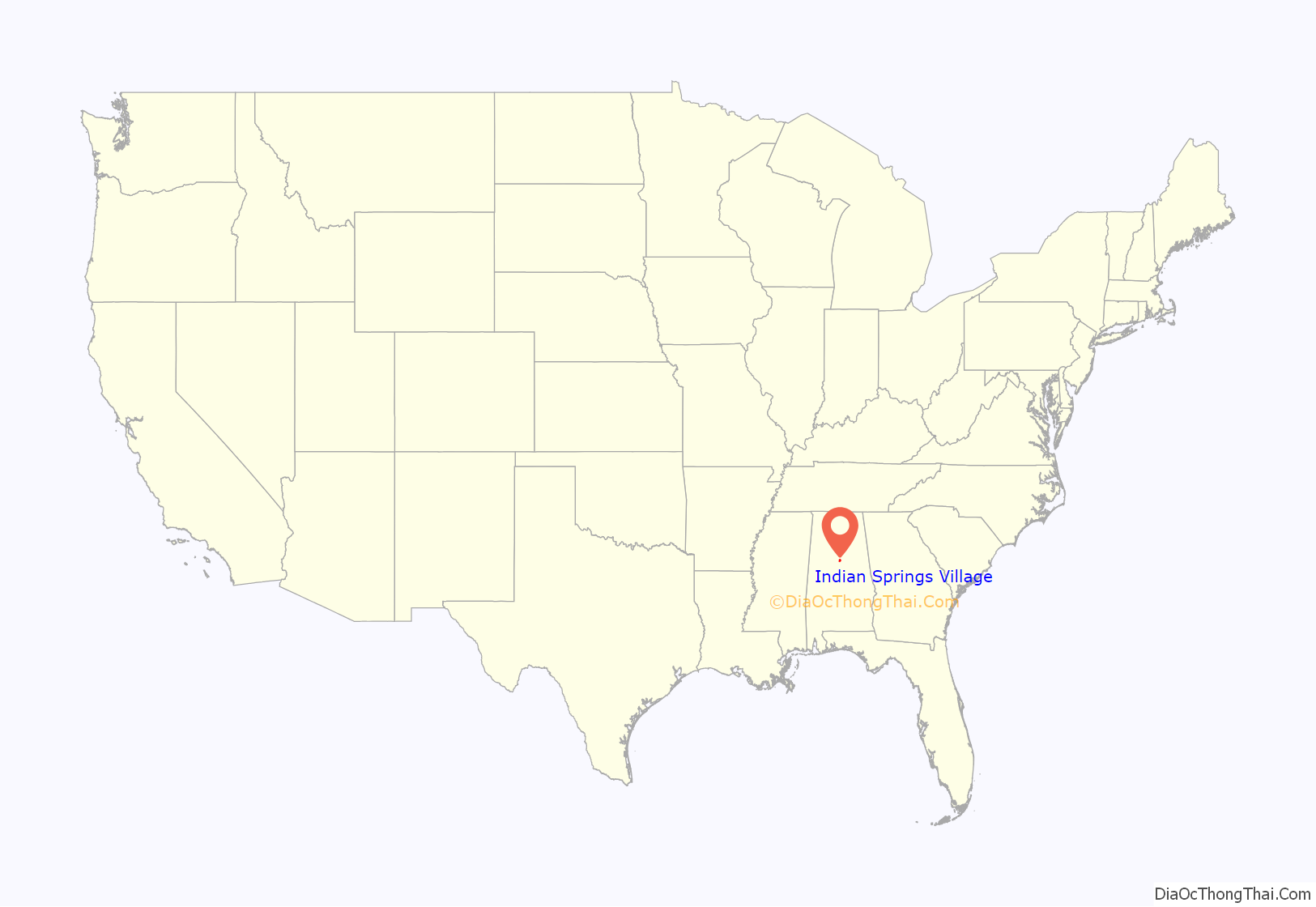
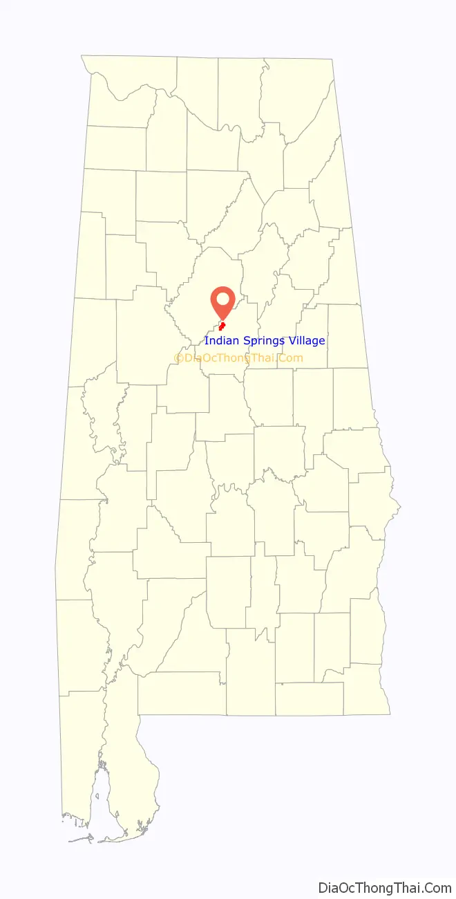
Indian Springs Village location map. Where is Indian Springs Village city?
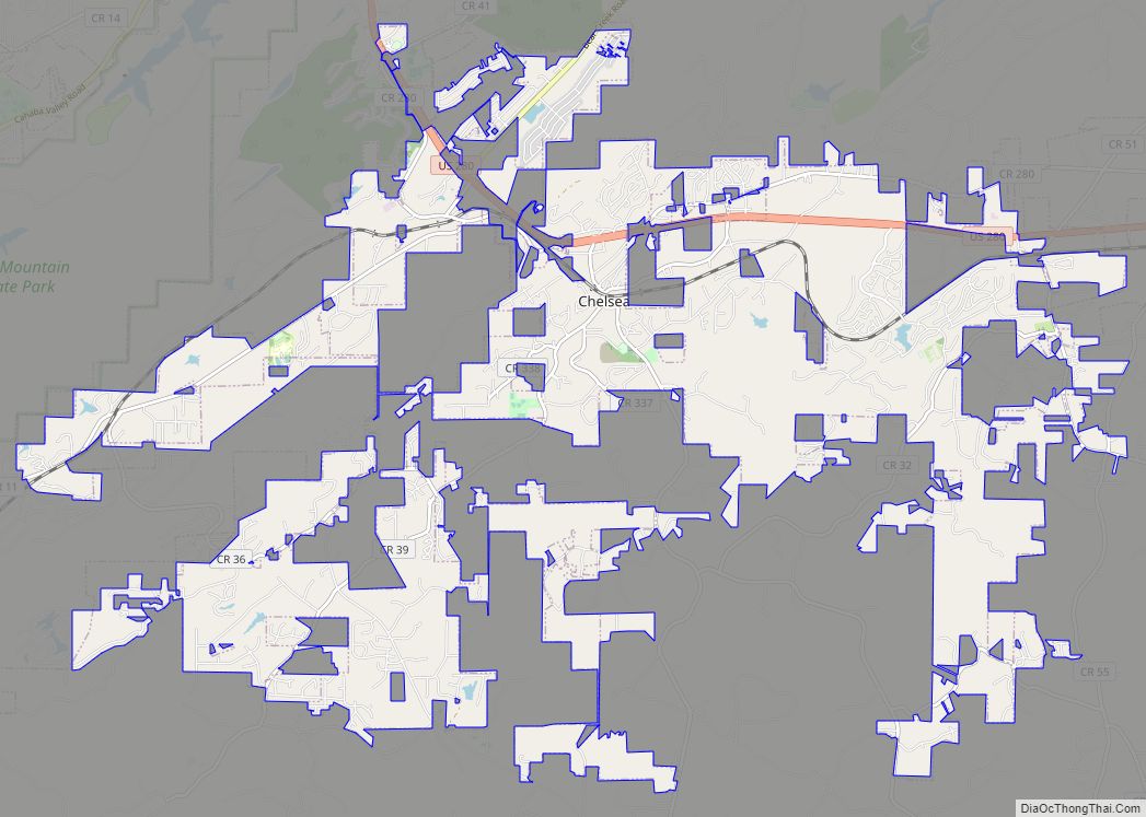
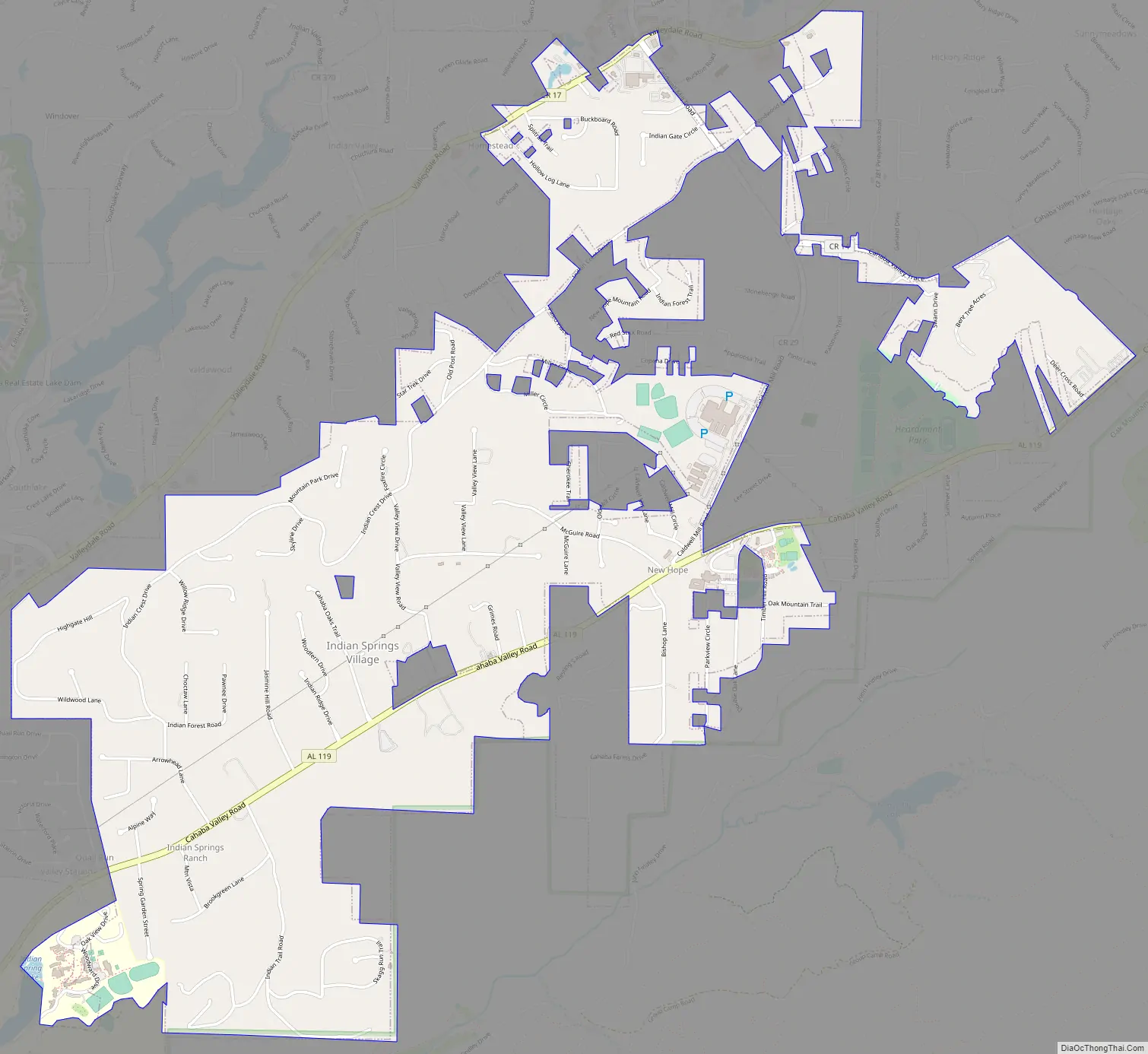
Indian Springs Village Road Map
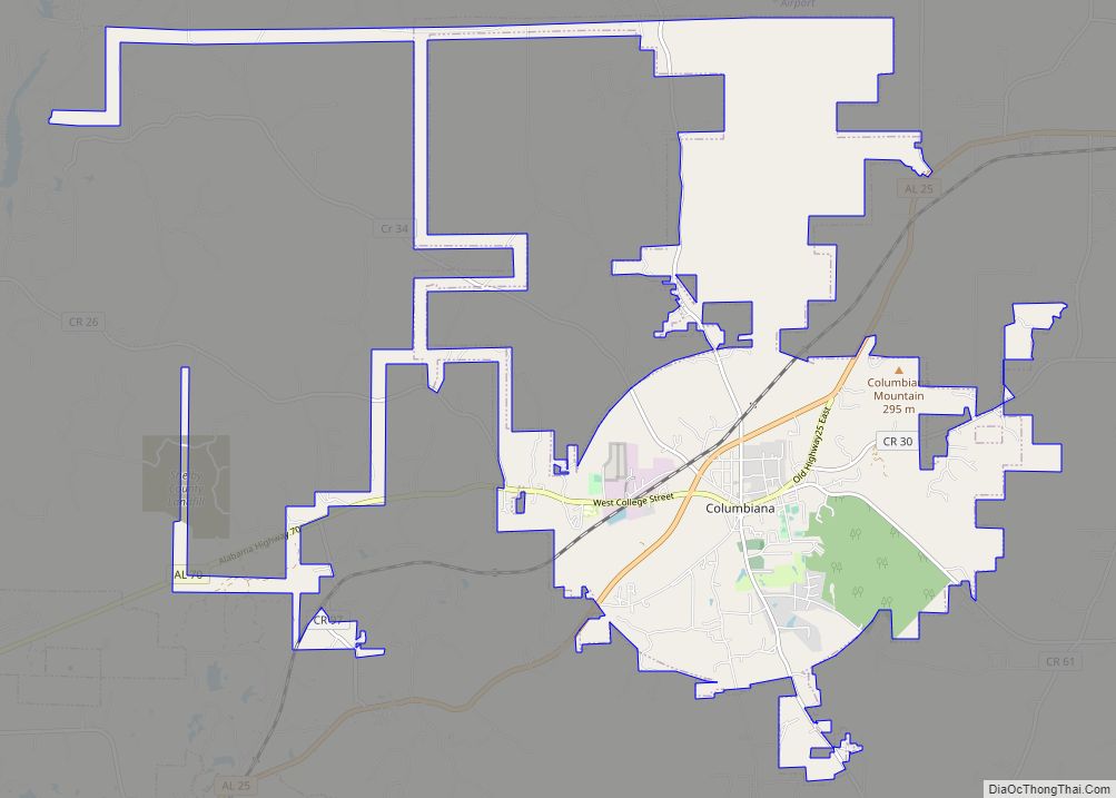
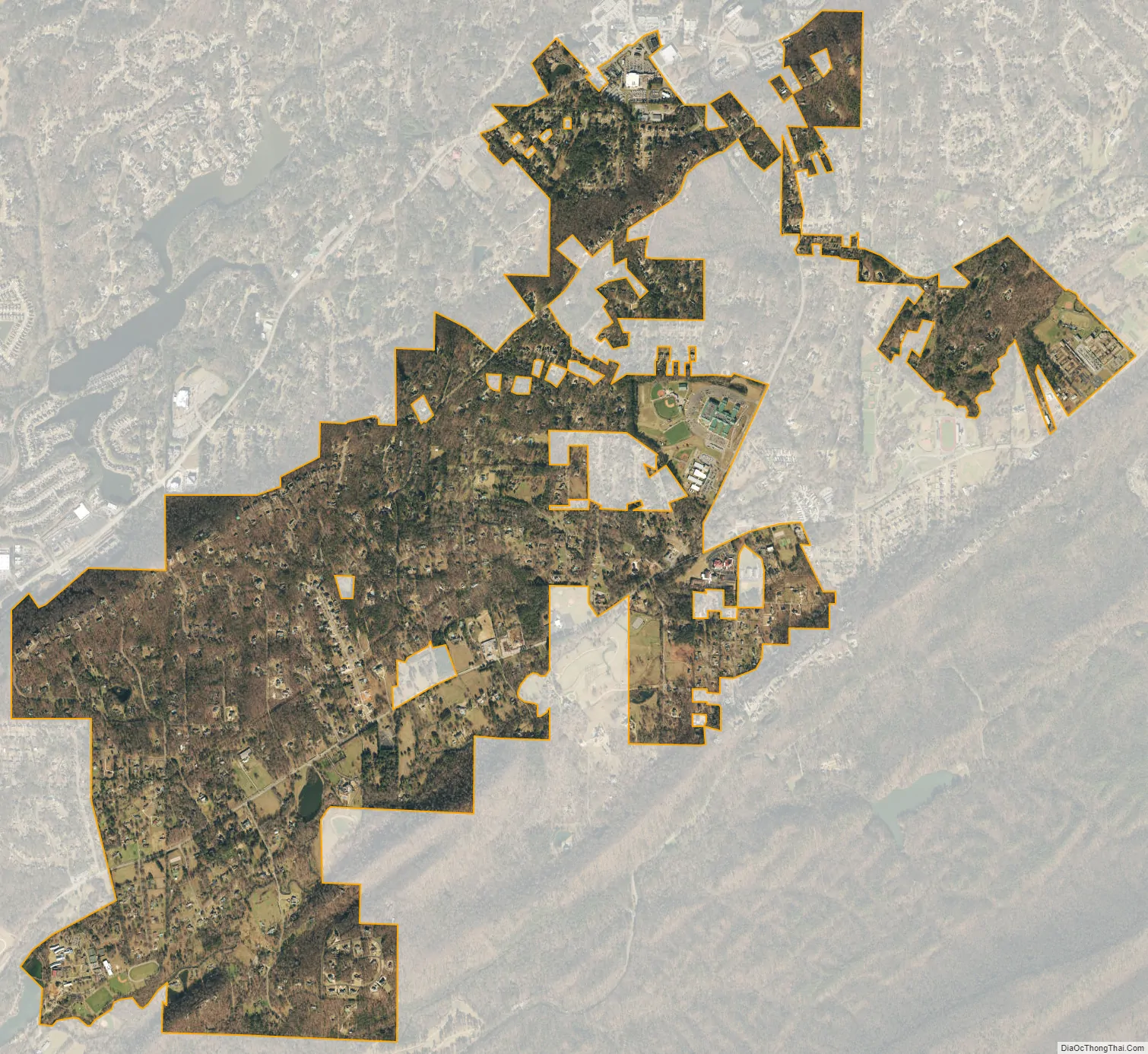
Indian Springs Village city Satellite Map
Geography
Indian Springs Village is located at 33°22′5″N 86°44′28″W / 33.36806°N 86.74111°W / 33.36806; -86.74111 (33.368021, -86.741176).
According to the U.S. Census Bureau, the town has a total area of 3.6 square miles (9.3 km), all land.
The private Indian Springs School, for day and boarding students in grades 8-12, is located within the town.
See also
Map of Alabama State and its subdivision:- Autauga
- Baldwin
- Barbour
- Bibb
- Blount
- Bullock
- Butler
- Calhoun
- Chambers
- Cherokee
- Chilton
- Choctaw
- Clarke
- Clay
- Cleburne
- Coffee
- Colbert
- Conecuh
- Coosa
- Covington
- Crenshaw
- Cullman
- Dale
- Dallas
- De Kalb
- Elmore
- Escambia
- Etowah
- Fayette
- Franklin
- Geneva
- Greene
- Hale
- Henry
- Houston
- Jackson
- Jefferson
- Lamar
- Lauderdale
- Lawrence
- Lee
- Limestone
- Lowndes
- Macon
- Madison
- Marengo
- Marion
- Marshall
- Mobile
- Monroe
- Montgomery
- Morgan
- Perry
- Pickens
- Pike
- Randolph
- Russell
- Saint Clair
- Shelby
- Sumter
- Talladega
- Tallapoosa
- Tuscaloosa
- Walker
- Washington
- Wilcox
- Winston
- Alabama
- Alaska
- Arizona
- Arkansas
- California
- Colorado
- Connecticut
- Delaware
- District of Columbia
- Florida
- Georgia
- Hawaii
- Idaho
- Illinois
- Indiana
- Iowa
- Kansas
- Kentucky
- Louisiana
- Maine
- Maryland
- Massachusetts
- Michigan
- Minnesota
- Mississippi
- Missouri
- Montana
- Nebraska
- Nevada
- New Hampshire
- New Jersey
- New Mexico
- New York
- North Carolina
- North Dakota
- Ohio
- Oklahoma
- Oregon
- Pennsylvania
- Rhode Island
- South Carolina
- South Dakota
- Tennessee
- Texas
- Utah
- Vermont
- Virginia
- Washington
- West Virginia
- Wisconsin
- Wyoming