Irondale is a city in Jefferson County, Alabama, United States. It is a suburb of Birmingham, northeast of Homewood and Mountain Brook. At the 2020 census, the population was 13,497.
The city is the site of Catholic radio/television broadcaster Eternal Word Television Network, or (EWTN). The city’s annual Whistle-Stop Festival attracts thousands to its eclectic mix of art, food and music.
| Name: | Irondale city |
|---|---|
| LSAD Code: | 25 |
| LSAD Description: | city (suffix) |
| State: | Alabama |
| County: | Jefferson County |
| Elevation: | 925 ft (282 m) |
| Total Area: | 17.48 sq mi (45.28 km²) |
| Land Area: | 17.32 sq mi (44.85 km²) |
| Water Area: | 0.17 sq mi (0.44 km²) |
| Total Population: | 13,497 |
| Population Density: | 779.50/sq mi (300.96/km²) |
| ZIP code: | 35210 |
| Area code: | 205 & 659 |
| FIPS code: | 0137864 |
| GNISfeature ID: | 2404765 |
| Website: | cityofirondaleal.gov |
Online Interactive Map
Click on ![]() to view map in "full screen" mode.
to view map in "full screen" mode.
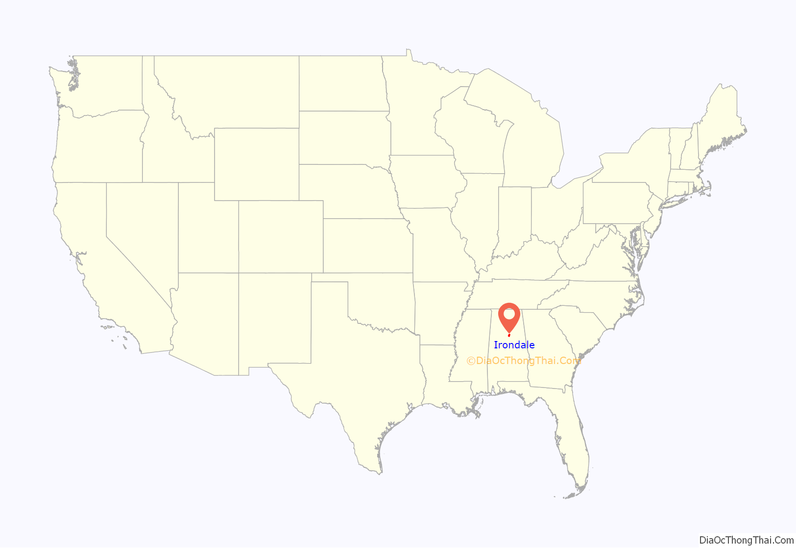
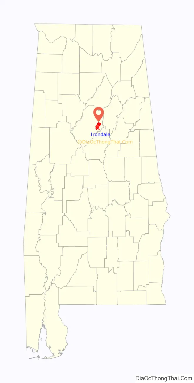
Irondale location map. Where is Irondale city?
History
On October 5, 1887, the people of Irondale petitioned for incorporation. The town incorporated as Irondale (after Irondale Furnace) on October 19, 1887, following a vote on October 17, 1887.
The 1916 Irondale earthquake, magnitude 5.1, caused some damage in the area, and was felt in neighboring states.
In 1981, Mother Angelica founded the Eternal Word Television Network, after starting operations in a garage.
On August 25, 2020, Irondale voters elected James D. Stewart, Jr. as the first black mayor in the city’s history.
Irondale Road Map
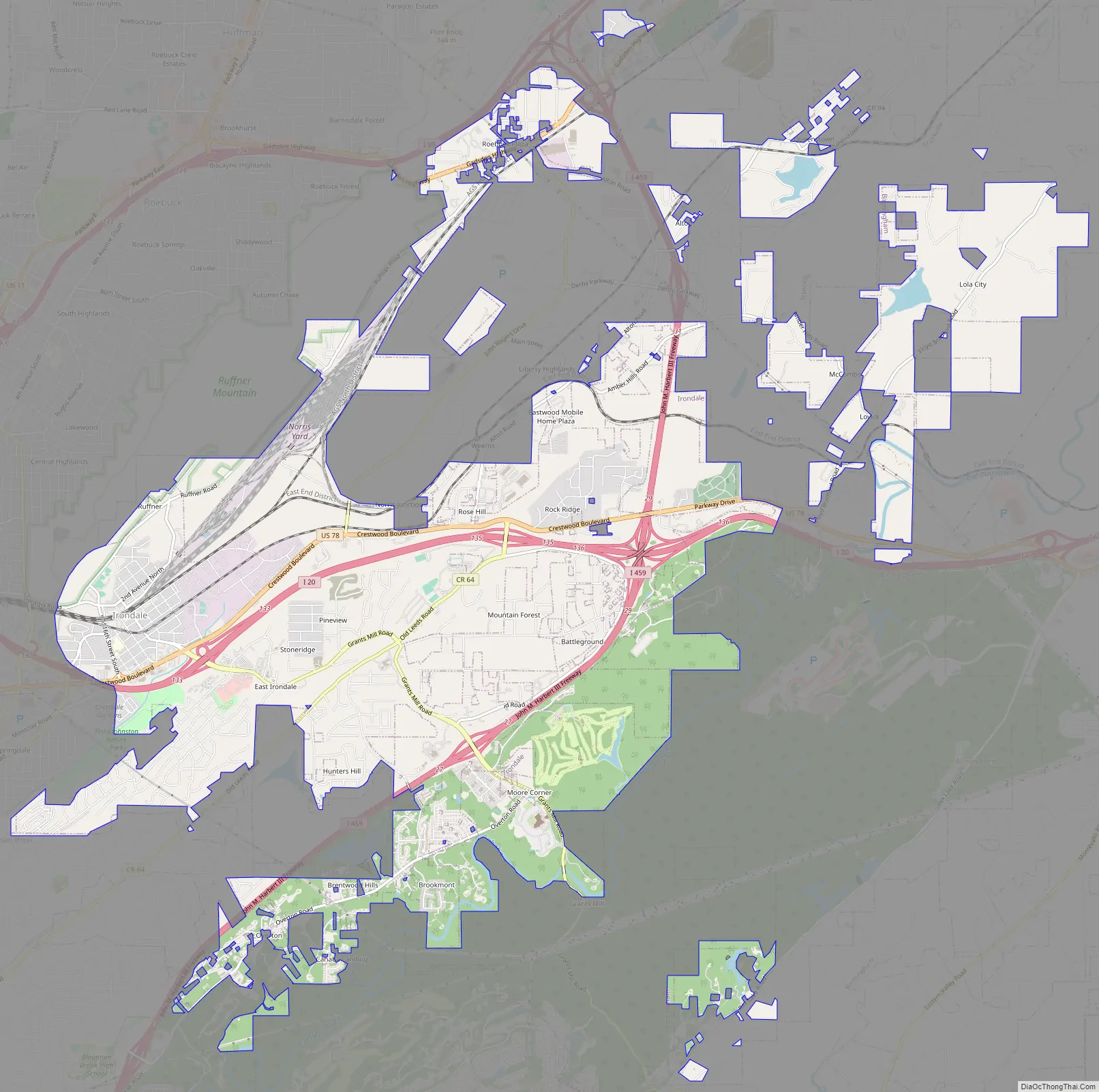
Irondale city Satellite Map

Geography
According to the U.S. Census Bureau, the city has a total area of 9.0 square miles (23 km), of which 9.0 square miles (23 km) is land and 0.11% is water.
See also
Map of Alabama State and its subdivision:- Autauga
- Baldwin
- Barbour
- Bibb
- Blount
- Bullock
- Butler
- Calhoun
- Chambers
- Cherokee
- Chilton
- Choctaw
- Clarke
- Clay
- Cleburne
- Coffee
- Colbert
- Conecuh
- Coosa
- Covington
- Crenshaw
- Cullman
- Dale
- Dallas
- De Kalb
- Elmore
- Escambia
- Etowah
- Fayette
- Franklin
- Geneva
- Greene
- Hale
- Henry
- Houston
- Jackson
- Jefferson
- Lamar
- Lauderdale
- Lawrence
- Lee
- Limestone
- Lowndes
- Macon
- Madison
- Marengo
- Marion
- Marshall
- Mobile
- Monroe
- Montgomery
- Morgan
- Perry
- Pickens
- Pike
- Randolph
- Russell
- Saint Clair
- Shelby
- Sumter
- Talladega
- Tallapoosa
- Tuscaloosa
- Walker
- Washington
- Wilcox
- Winston
- Alabama
- Alaska
- Arizona
- Arkansas
- California
- Colorado
- Connecticut
- Delaware
- District of Columbia
- Florida
- Georgia
- Hawaii
- Idaho
- Illinois
- Indiana
- Iowa
- Kansas
- Kentucky
- Louisiana
- Maine
- Maryland
- Massachusetts
- Michigan
- Minnesota
- Mississippi
- Missouri
- Montana
- Nebraska
- Nevada
- New Hampshire
- New Jersey
- New Mexico
- New York
- North Carolina
- North Dakota
- Ohio
- Oklahoma
- Oregon
- Pennsylvania
- Rhode Island
- South Carolina
- South Dakota
- Tennessee
- Texas
- Utah
- Vermont
- Virginia
- Washington
- West Virginia
- Wisconsin
- Wyoming


