McDonald Chapel is a census-designated place in Jefferson County, Alabama, United States. It is northeast of the Birmingham suburb of Pleasant Grove. At the 2020 census, the population was 739. Large portions of this area were damaged by violent tornadoes in 1956, 1998, and 2011. The 1998 tornado was rated F5 on the Fujita scale.
| Name: | McDonald Chapel CDP |
|---|---|
| LSAD Code: | 57 |
| LSAD Description: | CDP (suffix) |
| State: | Alabama |
| County: | Jefferson County |
| Elevation: | 584 ft (178 m) |
| Total Area: | 1.07 sq mi (2.77 km²) |
| Land Area: | 1.06 sq mi (2.76 km²) |
| Water Area: | 0.00 sq mi (0.01 km²) |
| Total Population: | 739 |
| Population Density: | 694.55/sq mi (268.18/km²) |
| FIPS code: | 0145208 |
| GNISfeature ID: | 0158012 |
Online Interactive Map
Click on ![]() to view map in "full screen" mode.
to view map in "full screen" mode.
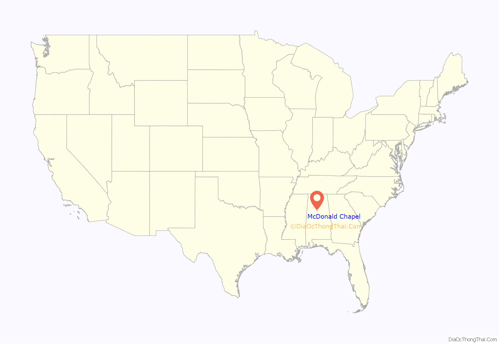
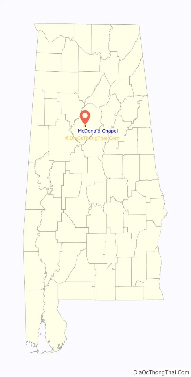
McDonald Chapel location map. Where is McDonald Chapel CDP?
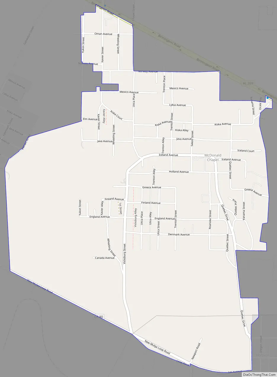
McDonald Chapel Road Map
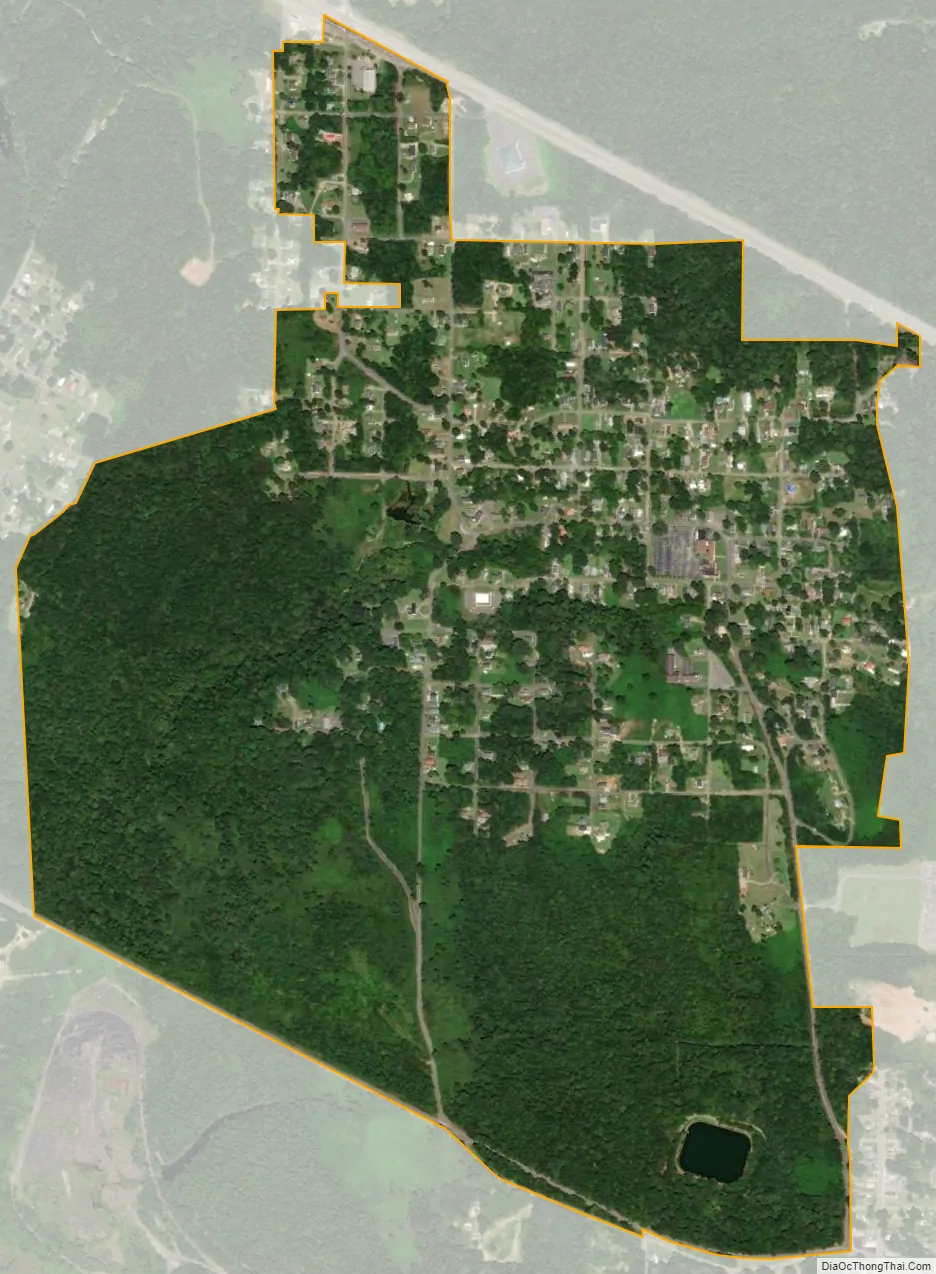
McDonald Chapel city Satellite Map
Geography
McDonald Chapel is located at 33°31′15″N 86°56′13″W / 33.52083°N 86.93694°W / 33.52083; -86.93694 (33.520706, -86.936858).
According to the U.S. Census Bureau, the CDP has a total area of 1.1 square miles (2.8 km), all land.
See also
Map of Alabama State and its subdivision:- Autauga
- Baldwin
- Barbour
- Bibb
- Blount
- Bullock
- Butler
- Calhoun
- Chambers
- Cherokee
- Chilton
- Choctaw
- Clarke
- Clay
- Cleburne
- Coffee
- Colbert
- Conecuh
- Coosa
- Covington
- Crenshaw
- Cullman
- Dale
- Dallas
- De Kalb
- Elmore
- Escambia
- Etowah
- Fayette
- Franklin
- Geneva
- Greene
- Hale
- Henry
- Houston
- Jackson
- Jefferson
- Lamar
- Lauderdale
- Lawrence
- Lee
- Limestone
- Lowndes
- Macon
- Madison
- Marengo
- Marion
- Marshall
- Mobile
- Monroe
- Montgomery
- Morgan
- Perry
- Pickens
- Pike
- Randolph
- Russell
- Saint Clair
- Shelby
- Sumter
- Talladega
- Tallapoosa
- Tuscaloosa
- Walker
- Washington
- Wilcox
- Winston
- Alabama
- Alaska
- Arizona
- Arkansas
- California
- Colorado
- Connecticut
- Delaware
- District of Columbia
- Florida
- Georgia
- Hawaii
- Idaho
- Illinois
- Indiana
- Iowa
- Kansas
- Kentucky
- Louisiana
- Maine
- Maryland
- Massachusetts
- Michigan
- Minnesota
- Mississippi
- Missouri
- Montana
- Nebraska
- Nevada
- New Hampshire
- New Jersey
- New Mexico
- New York
- North Carolina
- North Dakota
- Ohio
- Oklahoma
- Oregon
- Pennsylvania
- Rhode Island
- South Carolina
- South Dakota
- Tennessee
- Texas
- Utah
- Vermont
- Virginia
- Washington
- West Virginia
- Wisconsin
- Wyoming


