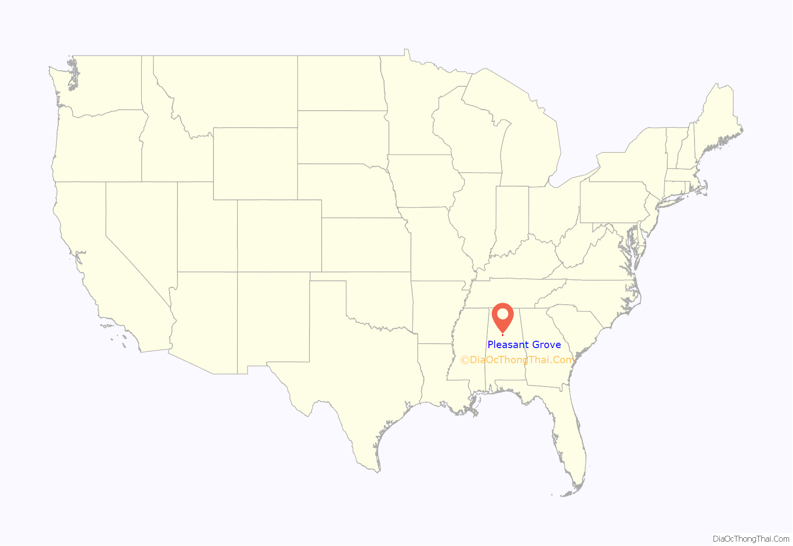
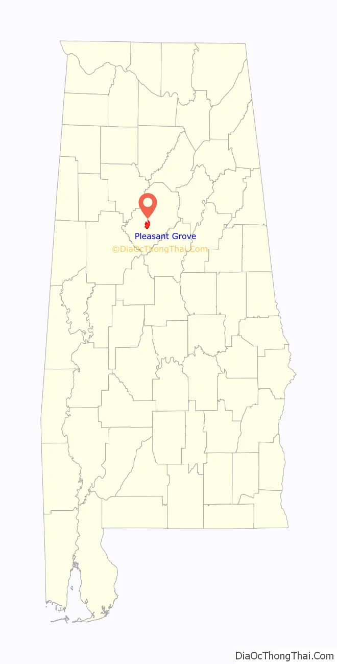
Pleasant Grove is a city in western Jefferson County, Alabama. It is part of the Birmingham metropolitan area. Its nickname is “The Good Neighbor City“. At the 2020 census, the population was 9,544.
| Name: | Pleasant Grove city |
|---|---|
| LSAD Code: | 25 |
| LSAD Description: | city (suffix) |
| State: | Alabama |
| County: | Jefferson County |
| Elevation: | 669 ft (204 m) |
| Total Area: | 9.82 sq mi (25.44 km²) |
| Land Area: | 9.82 sq mi (25.44 km²) |
| Water Area: | 0.00 sq mi (0.00 km²) |
| Total Population: | 9,544 |
| Population Density: | 971.60/sq mi (375.14/km²) |
| ZIP code: | 35127 |
| Area code: | 205 & 659 |
| FIPS code: | 0161008 |
| GNISfeature ID: | 2404538 |
| Website: | http://www.cityofpg.com/ |
Online Interactive Map
Click on ![]() to view map in "full screen" mode.
to view map in "full screen" mode.
Pleasant Grove location map. Where is Pleasant Grove city?
History
It was established in 1889, but incorporated as a city in January 1937. The incorporation came about by reason of a rather unusual circumstance. The town sits on land honeycombed by coal mines. For many years, the residents had relied on water wells for their water supply. As years passed and more mining was done, Pleasant Grove found itself confronted with a problem. Residents would sometimes go to their well to draw water only to find there was none. The water had gone into the mines.
During the mid to late 1930s, the Federal Government had a program for financing the building of local water systems. In exploring the possibility of securing such funds, it was revealed that in order to secure such financing a community must be legally incorporated. At this time the incorporation became a reality.
The first appointed Mayor of Pleasant Grove was W.P. Stone. The city is governed by a mayor and five council members who serve four-year terms. Elections for city officials is held during the summer of each leap year with four-year terms beginning the first Monday in October. The area known as Pleasant Grove, Alabama was first homesteaded in September 1836. Pleasant Grove is in Jefferson County. Although no one seems to know when or exactly how the town came by its name, old documents indicate that at least part of this area was called Pleasant Grove as early as 1884. Pleasant Grove was made up of four communities which included Frog Pond, Lizard Ridge, Cottage Hill, and Pleasant Grove.
The city was damaged by large tornadoes in 1956, 1977, 1998, and 2011.
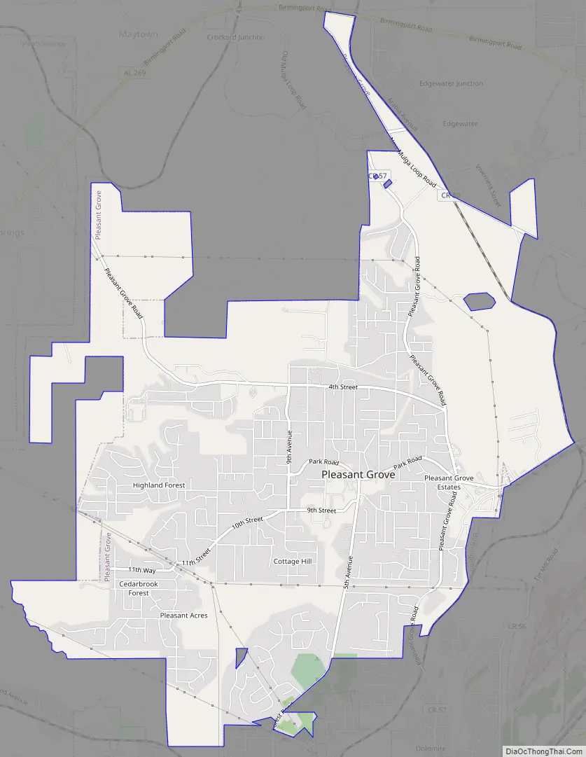
Pleasant Grove Road Map
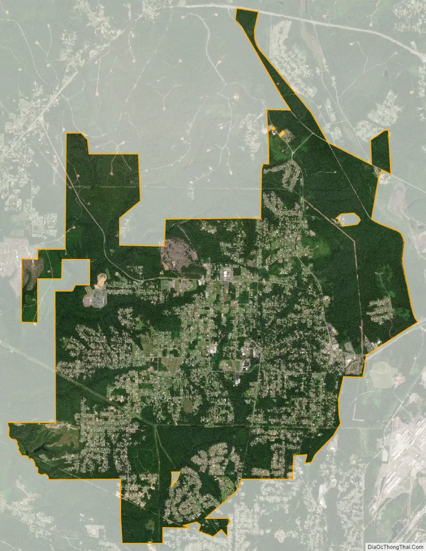
Pleasant Grove city Satellite Map
Geography
Pleasant Grove is located at 33°29′33″N 86°58′23″W / 33.492400°N 86.972927°W / 33.492400; -86.972927.
According to the U.S. Census Bureau, the city has a total area of 8.8 square miles (23 km), all land.
Pleasant Grove is home to Milk Creek, so named for its creamy-white color and thick, calcious texture.
See also
Map of Alabama State and its subdivision:- Autauga
- Baldwin
- Barbour
- Bibb
- Blount
- Bullock
- Butler
- Calhoun
- Chambers
- Cherokee
- Chilton
- Choctaw
- Clarke
- Clay
- Cleburne
- Coffee
- Colbert
- Conecuh
- Coosa
- Covington
- Crenshaw
- Cullman
- Dale
- Dallas
- De Kalb
- Elmore
- Escambia
- Etowah
- Fayette
- Franklin
- Geneva
- Greene
- Hale
- Henry
- Houston
- Jackson
- Jefferson
- Lamar
- Lauderdale
- Lawrence
- Lee
- Limestone
- Lowndes
- Macon
- Madison
- Marengo
- Marion
- Marshall
- Mobile
- Monroe
- Montgomery
- Morgan
- Perry
- Pickens
- Pike
- Randolph
- Russell
- Saint Clair
- Shelby
- Sumter
- Talladega
- Tallapoosa
- Tuscaloosa
- Walker
- Washington
- Wilcox
- Winston
- Alabama
- Alaska
- Arizona
- Arkansas
- California
- Colorado
- Connecticut
- Delaware
- District of Columbia
- Florida
- Georgia
- Hawaii
- Idaho
- Illinois
- Indiana
- Iowa
- Kansas
- Kentucky
- Louisiana
- Maine
- Maryland
- Massachusetts
- Michigan
- Minnesota
- Mississippi
- Missouri
- Montana
- Nebraska
- Nevada
- New Hampshire
- New Jersey
- New Mexico
- New York
- North Carolina
- North Dakota
- Ohio
- Oklahoma
- Oregon
- Pennsylvania
- Rhode Island
- South Carolina
- South Dakota
- Tennessee
- Texas
- Utah
- Vermont
- Virginia
- Washington
- West Virginia
- Wisconsin
- Wyoming


