Midland City is a town in Dale County, Alabama, United States. At the 2010 U.S. Census the population was 2,344. It incorporated in 1890. It is part of the Ozark Micropolitan Statistical Area.
| Name: | Midland City town |
|---|---|
| LSAD Code: | 43 |
| LSAD Description: | town (suffix) |
| State: | Alabama |
| County: | Dale County |
| Elevation: | 377 ft (115 m) |
| Total Area: | 6.06 sq mi (15.69 km²) |
| Land Area: | 6.06 sq mi (15.69 km²) |
| Water Area: | 0.00 sq mi (0.00 km²) |
| Total Population: | 2,239 |
| Population Density: | 369.59/sq mi (142.71/km²) |
| ZIP code: | 36350 |
| Area code: | 334 |
| FIPS code: | 0148400 |
| GNISfeature ID: | 0152313 |
Online Interactive Map
Click on ![]() to view map in "full screen" mode.
to view map in "full screen" mode.
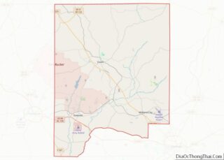
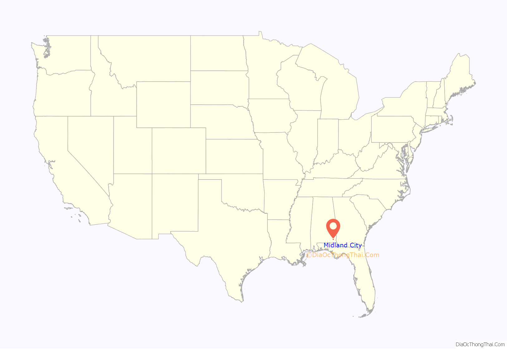
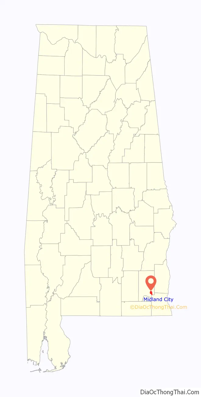
Midland City location map. Where is Midland City town?
History
2013 hostage standoff
On January 29, 2013, 65-year-old Vietnam War-era veteran Jimmy Lee Dykes climbed aboard a school bus and fatally shot the driver; he then abducted at random a five-year-old boy named Ethan, who was sitting at the closest seat. He took Ethan into an underground bunker, where he held him captive. About a week after the incident, FBI agents were able to storm the bunker, kill Dykes, and rescue Ethan.
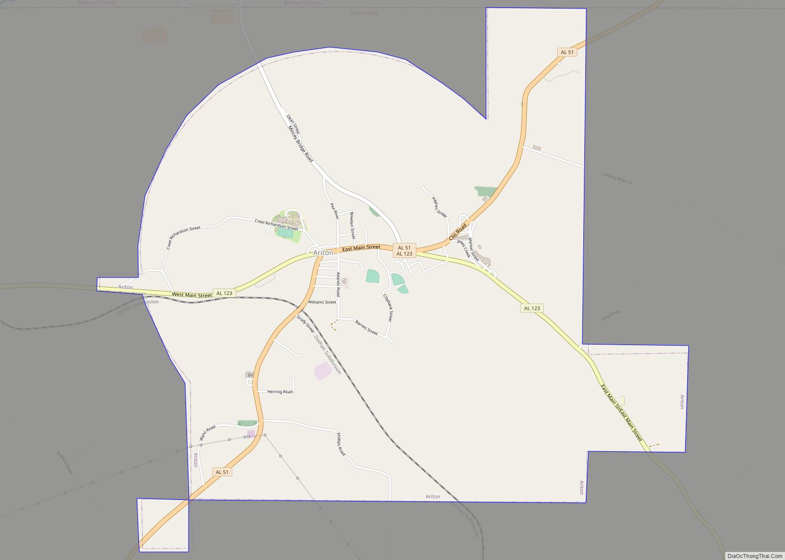
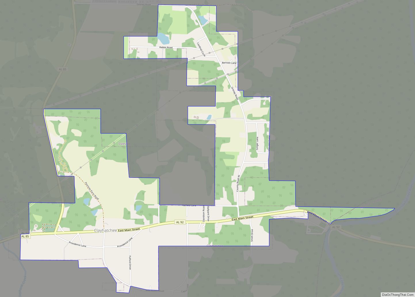
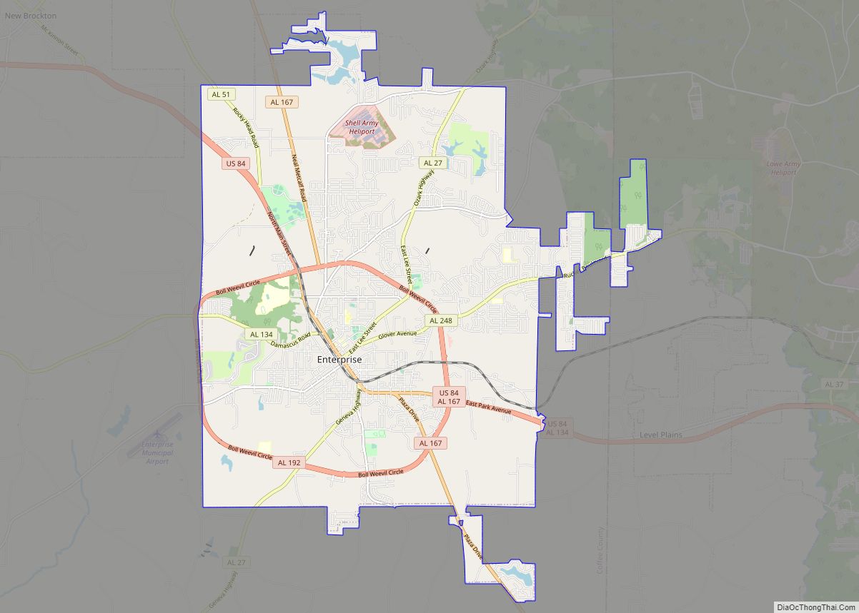
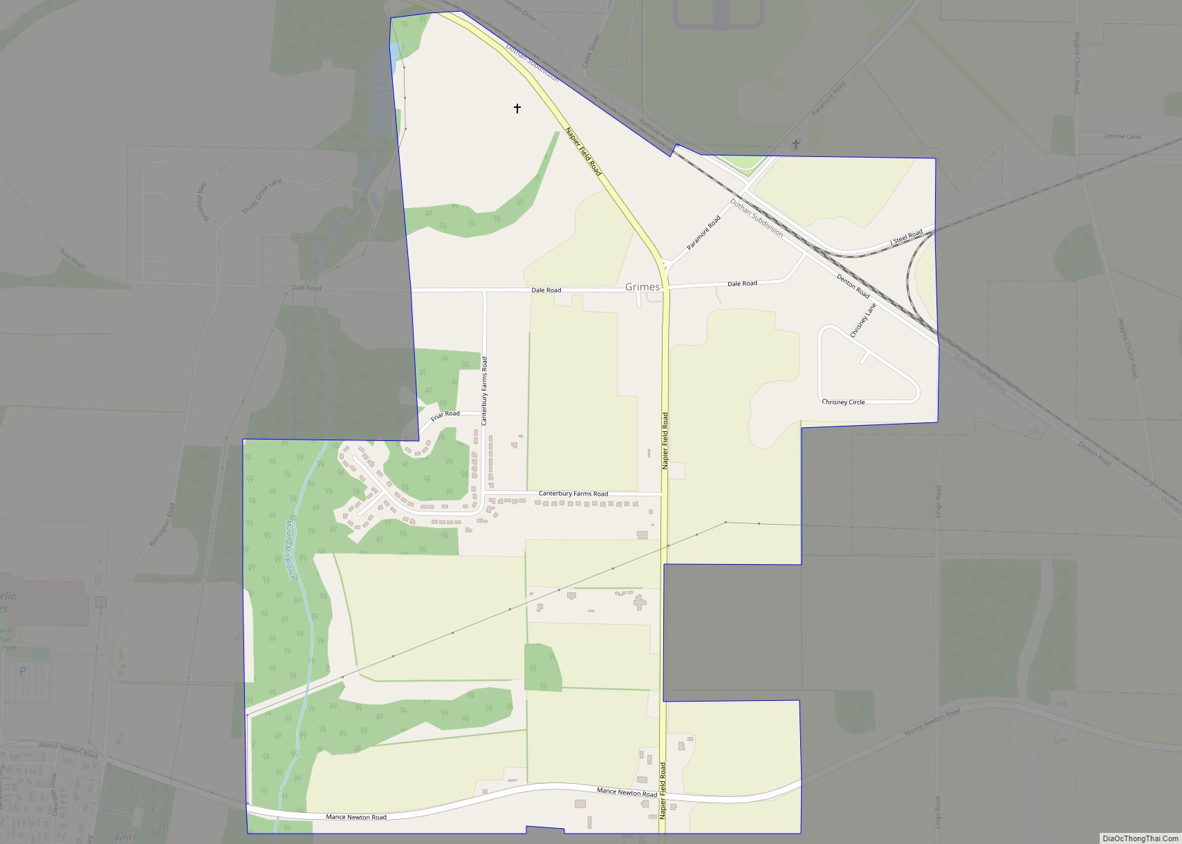
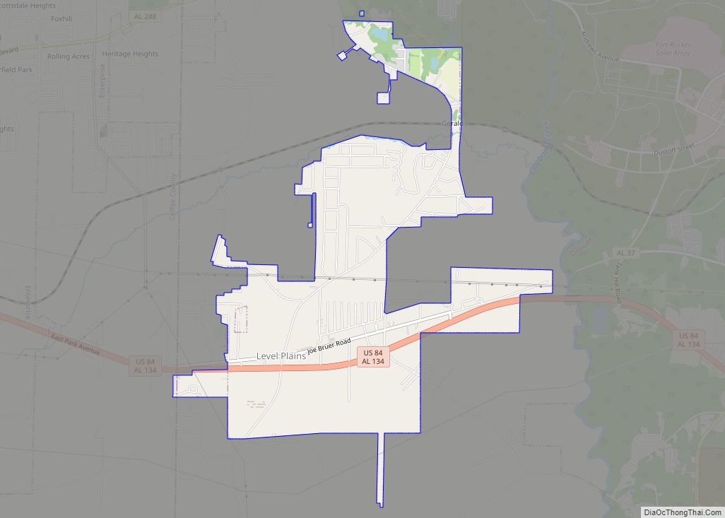
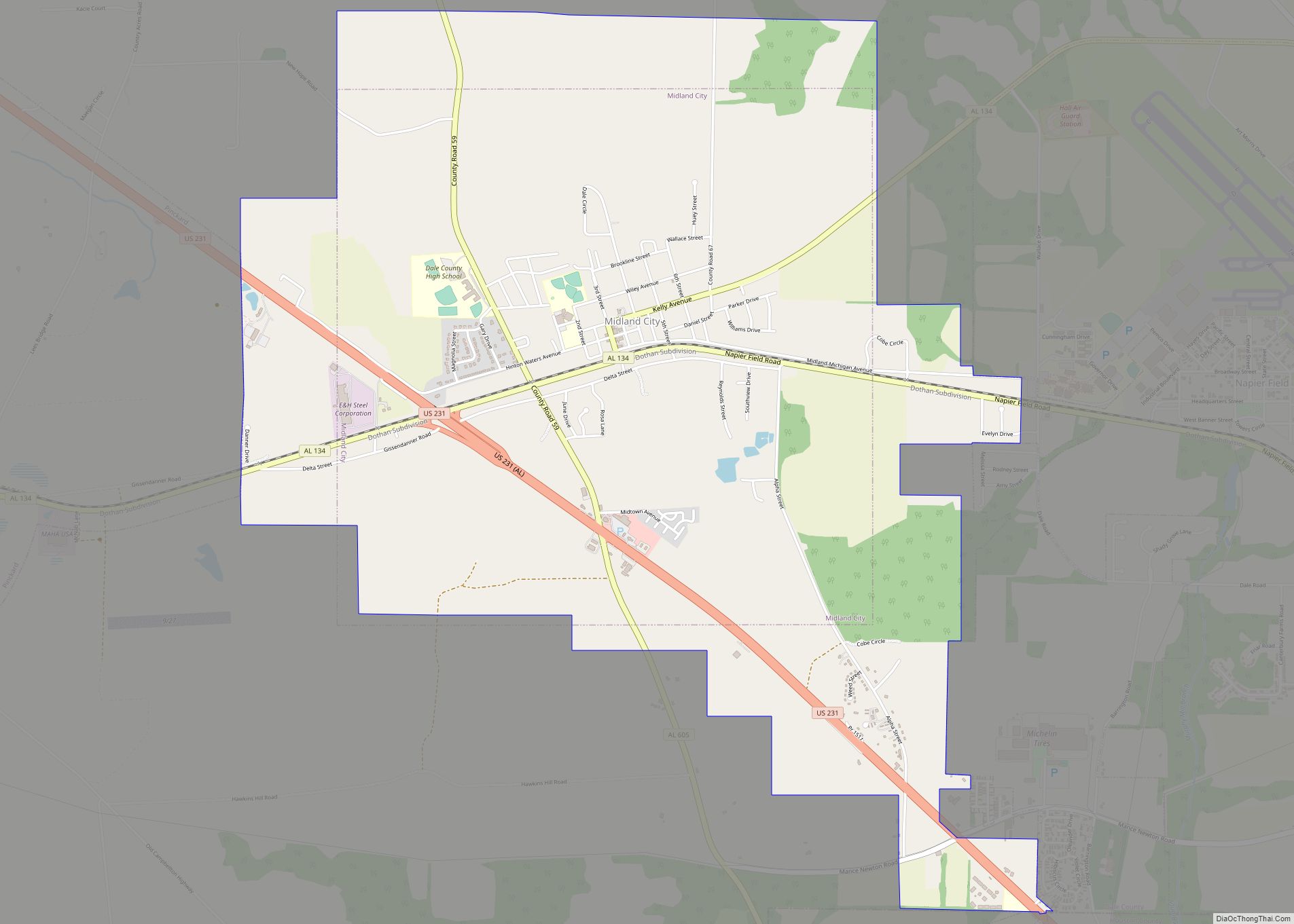
Midland City Road Map
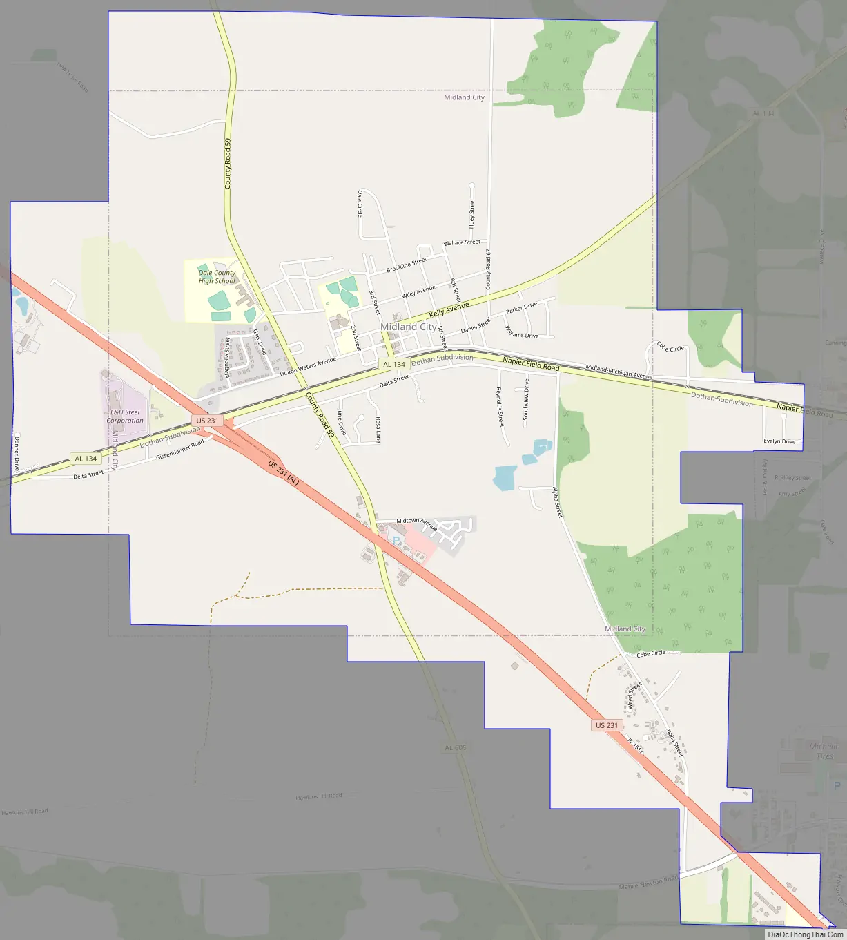
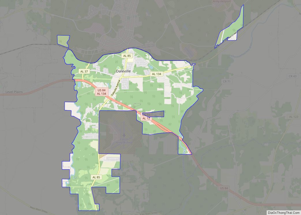
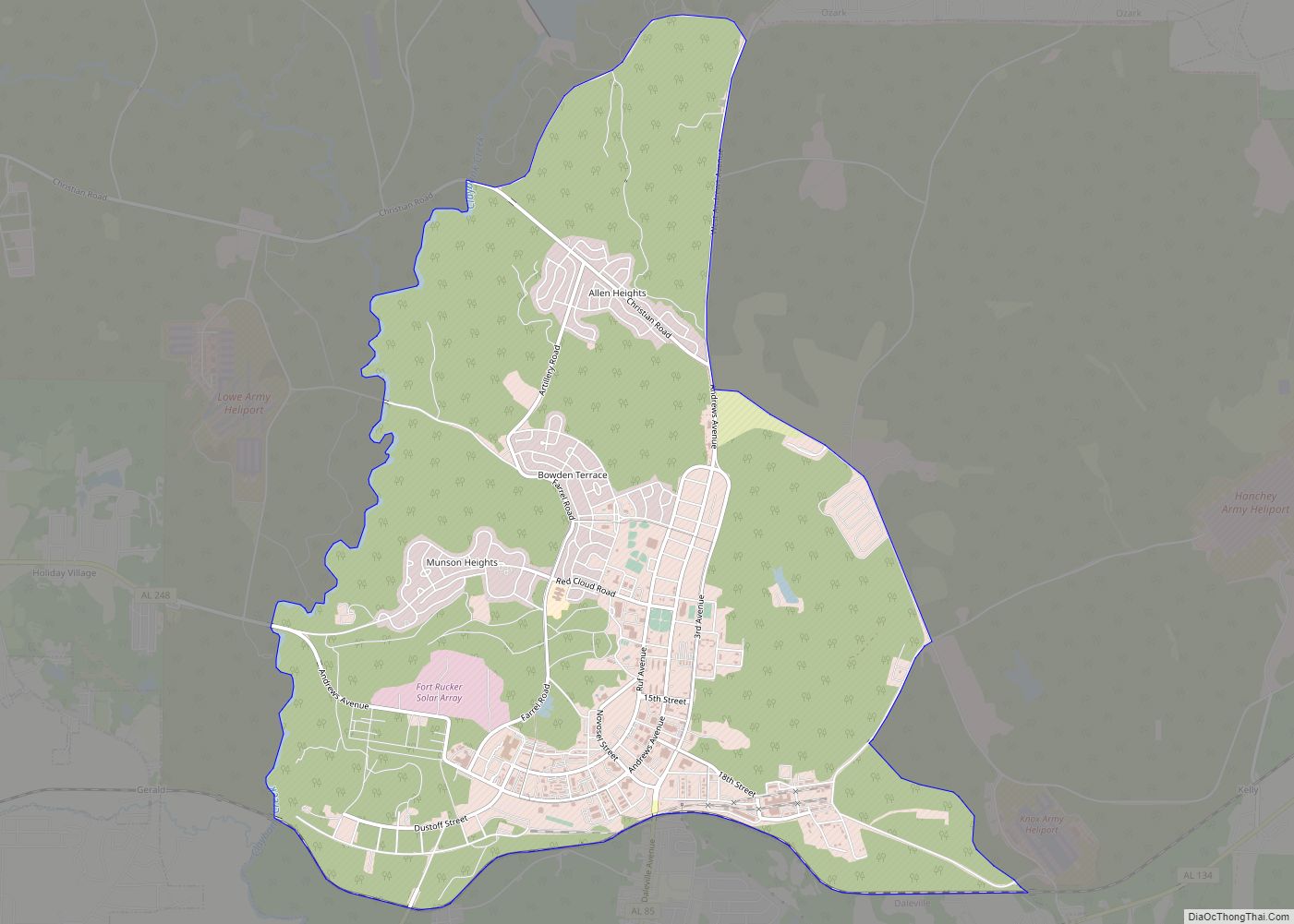
Midland City city Satellite Map
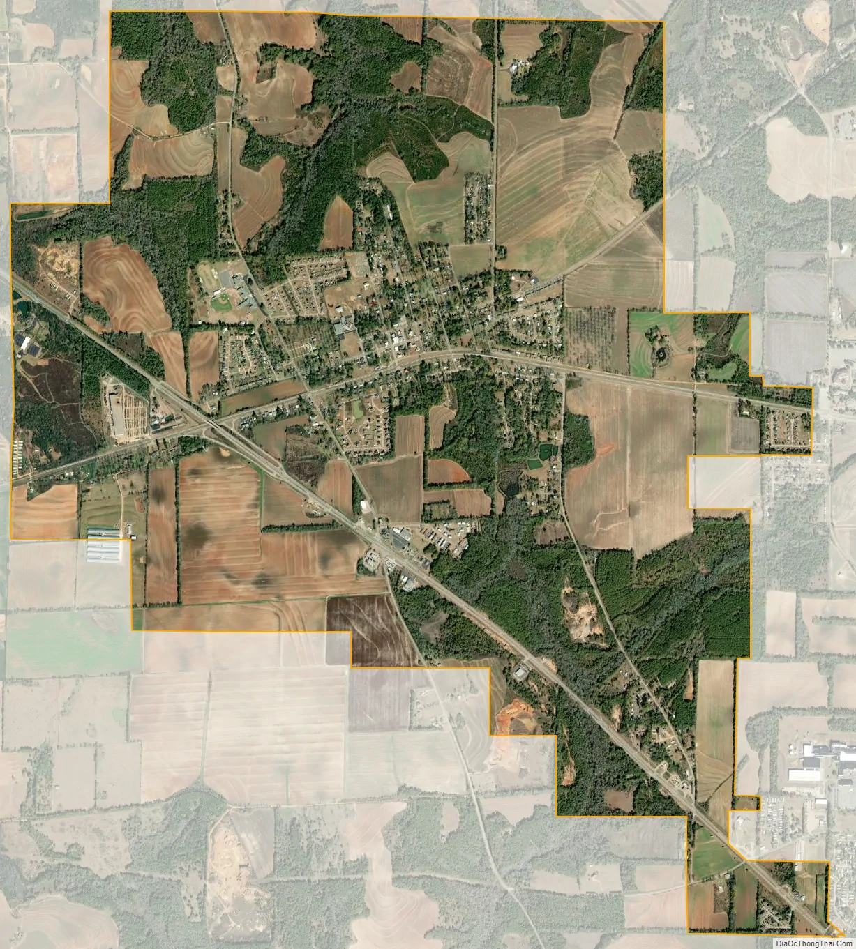
Geography
Midland City is located in southeastern Dale County at 31°18′29″N 85°29′26″W / 31.30806°N 85.49056°W / 31.30806; -85.49056 (31.307945, -85.490606). It is bordered to the east by the town of Napier Field, to the southeast by the city of Dothan, and to the west by the town of Pinckard. U.S. Route 231 passes through the town, leading northwest 13 miles (21 km) to Ozark, the Dale County seat, and southeast 9 miles (14 km) to the center of Dothan. Alabama State Route 134 passes through the center of Midland City, leading east 10 miles (16 km) to Headland and west 7 miles (11 km) to Newton via Pinckard.
According to the U.S. Census Bureau, Midland City has a total area of 6.1 square miles (15.7 km), all land.
See also
Map of Alabama State and its subdivision:- Autauga
- Baldwin
- Barbour
- Bibb
- Blount
- Bullock
- Butler
- Calhoun
- Chambers
- Cherokee
- Chilton
- Choctaw
- Clarke
- Clay
- Cleburne
- Coffee
- Colbert
- Conecuh
- Coosa
- Covington
- Crenshaw
- Cullman
- Dale
- Dallas
- De Kalb
- Elmore
- Escambia
- Etowah
- Fayette
- Franklin
- Geneva
- Greene
- Hale
- Henry
- Houston
- Jackson
- Jefferson
- Lamar
- Lauderdale
- Lawrence
- Lee
- Limestone
- Lowndes
- Macon
- Madison
- Marengo
- Marion
- Marshall
- Mobile
- Monroe
- Montgomery
- Morgan
- Perry
- Pickens
- Pike
- Randolph
- Russell
- Saint Clair
- Shelby
- Sumter
- Talladega
- Tallapoosa
- Tuscaloosa
- Walker
- Washington
- Wilcox
- Winston
- Alabama
- Alaska
- Arizona
- Arkansas
- California
- Colorado
- Connecticut
- Delaware
- District of Columbia
- Florida
- Georgia
- Hawaii
- Idaho
- Illinois
- Indiana
- Iowa
- Kansas
- Kentucky
- Louisiana
- Maine
- Maryland
- Massachusetts
- Michigan
- Minnesota
- Mississippi
- Missouri
- Montana
- Nebraska
- Nevada
- New Hampshire
- New Jersey
- New Mexico
- New York
- North Carolina
- North Dakota
- Ohio
- Oklahoma
- Oregon
- Pennsylvania
- Rhode Island
- South Carolina
- South Dakota
- Tennessee
- Texas
- Utah
- Vermont
- Virginia
- Washington
- West Virginia
- Wisconsin
- Wyoming