Minor is a census-designated place (CDP) in Jefferson County, Alabama, United States. It is located north of the Birmingham suburb, Pleasant Grove and has a population of 1,094 (2010 census). Minor was damaged by an F5 tornado on April 8, 1998, including damage inflicted on the non-denominational Open Door Church.
| Name: | Minor CDP |
|---|---|
| LSAD Code: | 57 |
| LSAD Description: | CDP (suffix) |
| State: | Alabama |
| County: | Jefferson County |
| Elevation: | 581 ft (177 m) |
| Total Area: | 0.66 sq mi (1.72 km²) |
| Land Area: | 0.66 sq mi (1.72 km²) |
| Water Area: | 0.00 sq mi (0.00 km²) |
| Total Population: | 1,088 |
| Population Density: | 1,638.55/sq mi (632.82/km²) |
| ZIP code: | 35224 |
| Area code: | 205 |
| FIPS code: | 0149072 |
| GNISfeature ID: | 0122875 |
Online Interactive Map
Click on ![]() to view map in "full screen" mode.
to view map in "full screen" mode.
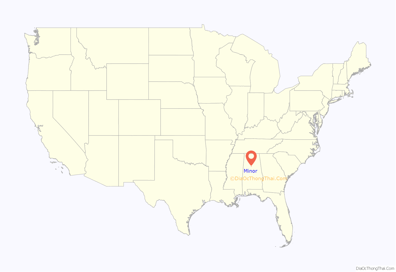
Minor location map. Where is Minor CDP?
History
In 1922, a new high school was named for retired Jefferson County school superintendent, John W. Minor. Thus the community area became known as Minor. The land for the school was donated by the Young family. The location was at the center of the coal communities of Bayview, Brookside, Docena, Edgewater and Mulga and other and later communities (Adamsville, Alden, Coalburg, Crumly Chapel, Forestdale, Fieldstown, Graysville, Hillview, Maytown, McDonald Chapel, Midway, Mineral Springs, Republic, Sandusky and Sylvan Springs). The school burned down in 1926 and rebuilt and reopened in 1928.
W. C. Petty was named principal in 1922 and served through May 1958. The building served as the high school through May 1988 when a new high school was built in Adamsville. In the 1960s, Minor Christian School was established on McDonald Chapel Road.
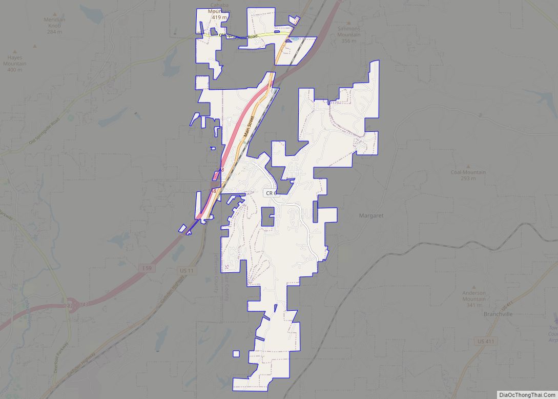
Minor Road Map
Minor city Satellite Map
See also
Map of Alabama State and its subdivision:- Autauga
- Baldwin
- Barbour
- Bibb
- Blount
- Bullock
- Butler
- Calhoun
- Chambers
- Cherokee
- Chilton
- Choctaw
- Clarke
- Clay
- Cleburne
- Coffee
- Colbert
- Conecuh
- Coosa
- Covington
- Crenshaw
- Cullman
- Dale
- Dallas
- De Kalb
- Elmore
- Escambia
- Etowah
- Fayette
- Franklin
- Geneva
- Greene
- Hale
- Henry
- Houston
- Jackson
- Jefferson
- Lamar
- Lauderdale
- Lawrence
- Lee
- Limestone
- Lowndes
- Macon
- Madison
- Marengo
- Marion
- Marshall
- Mobile
- Monroe
- Montgomery
- Morgan
- Perry
- Pickens
- Pike
- Randolph
- Russell
- Saint Clair
- Shelby
- Sumter
- Talladega
- Tallapoosa
- Tuscaloosa
- Walker
- Washington
- Wilcox
- Winston
- Alabama
- Alaska
- Arizona
- Arkansas
- California
- Colorado
- Connecticut
- Delaware
- District of Columbia
- Florida
- Georgia
- Hawaii
- Idaho
- Illinois
- Indiana
- Iowa
- Kansas
- Kentucky
- Louisiana
- Maine
- Maryland
- Massachusetts
- Michigan
- Minnesota
- Mississippi
- Missouri
- Montana
- Nebraska
- Nevada
- New Hampshire
- New Jersey
- New Mexico
- New York
- North Carolina
- North Dakota
- Ohio
- Oklahoma
- Oregon
- Pennsylvania
- Rhode Island
- South Carolina
- South Dakota
- Tennessee
- Texas
- Utah
- Vermont
- Virginia
- Washington
- West Virginia
- Wisconsin
- Wyoming
