Montevallo is a city in Shelby County, Alabama, United States. A college town, it is the home of the University of Montevallo, a public liberal arts university with approximately 3,000 students. As of the 2020 census, the population of the city of Montevallo is 7,229.
| Name: | Montevallo city |
|---|---|
| LSAD Code: | 25 |
| LSAD Description: | city (suffix) |
| State: | Alabama |
| County: | Shelby County |
| Incorporated: | 1848 |
| Elevation: | 433 ft (132 m) |
| Total Area: | 13.09 sq mi (33.90 km²) |
| Land Area: | 12.81 sq mi (33.17 km²) |
| Water Area: | 0.28 sq mi (0.73 km²) |
| Total Population: | 7,229 |
| Population Density: | 564.50/sq mi (217.96/km²) |
| ZIP code: | 35115 |
| Area code: | 205, 659 |
| FIPS code: | 0150312 |
| GNISfeature ID: | 2404287 |
| Website: | http://www.cityofmontevallo.com/ |
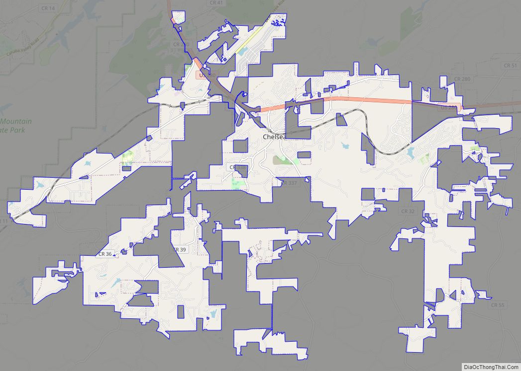
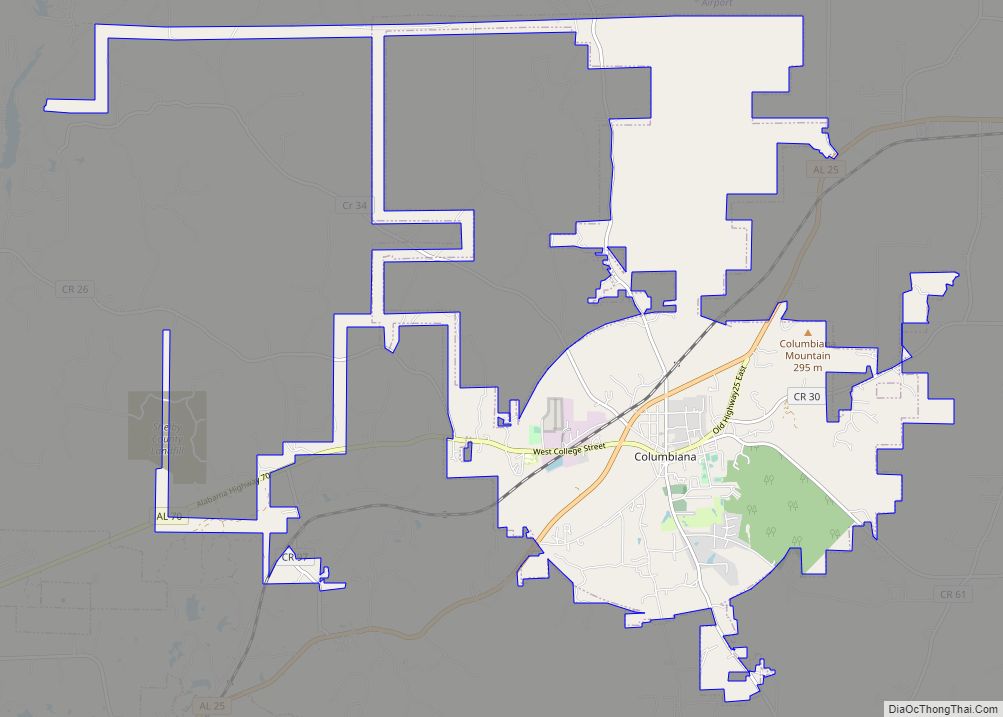
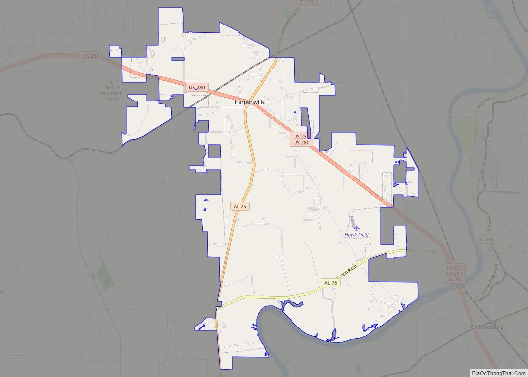
Online Interactive Map
Click on ![]() to view map in "full screen" mode.
to view map in "full screen" mode.
Montevallo location map. Where is Montevallo city?


History
The area where Montevallo is now was once controlled by the Creek Indians. After being acquired in 1814 Jesse Wilson claimed a small hill on the northern bank of Wilson’s Creek by the present Montevallo City Cemetery and created a homestead there, making it the oldest settlement in Shelby County. Wilson’s friends and family followed afterwards and also settled in the area, and a settlement known as Wilson’s Hill developed on the site. The settlement’s location at almost the exact center of Alabama meant it was considered one of the potential sites for the University of Alabama. In an attempt to encourage the university to choose the site the settlement changed its name to Montevallo, which is Italian for the hill in the valley.
Montevallo was used by local farmers as a market town where they could sell and package their produce. It was incorporated as a city in 1848. In 1853 a railway was built between Montevallo and Selma which allowed further economic growth to Montevallo and in 1856 a coal mine was created nearby leading to further growth.
During the American Civil War, Union troops under the command of James H. Wilson camped in Montevallo in the spring of 1865 and skirmished with Confederates near the railroad depot. After the war, commercial life and growth was dominated by the coal mine owned by Truman Aldrich who leased the mine and attempted to increase production in response to the growing iron industry in the region and the growing city of Birmingham. Starting in 1890, company owned worker housing was built in Montevallo to house miners.
In the early 1890s, residents of Montevallo entered the city in a competition to be selected for the site of the Alabama Girl’s Industrial School (later the University of Montevallo) a technical college for white women, raising funds to purchase land and antebellum buildings for the college they won and the college was founded in Montevallo in 1896. Commerce and economic growth increased in Montevallo after the establishment of the college, which was renamed Alabama College in 1919, started admitting men in 1956 and started admitting African Americans in 1968 and became the modern liberal arts University of Montevallo. The university became the main source of commerce in Montevallo and money generated by it was used by the municipal government to build schools. The university also allowed the community some stability during the Great Depression. It quickly took over the coal mine as the major employer in Montevallo, the coal mine closing in 1946.
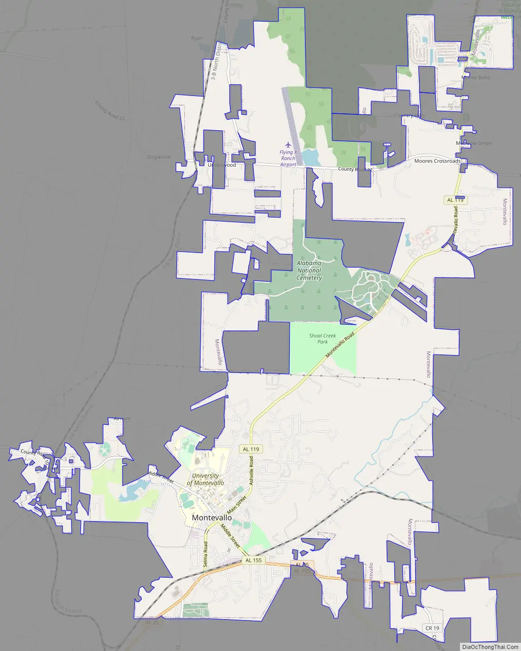
Montevallo Road Map
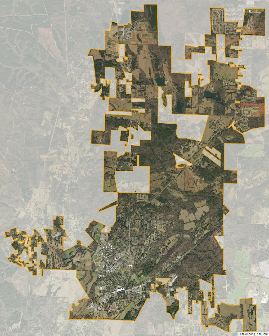
Montevallo city Satellite Map
Geography
Montevallo is located at 33°6′18″N 86°51′46″W / 33.10500°N 86.86278°W / 33.10500; -86.86278 (33.1049, -86.8628). A plaque on Reynolds Cemetery Road, just off Alabama State Route 25, in the eastern corner of the town, marks the geographic center of the state of Alabama. Middle Street, formerly known as Main Street, had its name changed in 1899 for this reason, upon the completion of a new state survey.
According to the U.S. Census Bureau, the city has a total area of 7.7 square miles (20 km), of which 7.6 square miles (20 km) is land and 0.1 square miles (0.26 km) (0.66%) is water.
See also
Map of Alabama State and its subdivision:- Autauga
- Baldwin
- Barbour
- Bibb
- Blount
- Bullock
- Butler
- Calhoun
- Chambers
- Cherokee
- Chilton
- Choctaw
- Clarke
- Clay
- Cleburne
- Coffee
- Colbert
- Conecuh
- Coosa
- Covington
- Crenshaw
- Cullman
- Dale
- Dallas
- De Kalb
- Elmore
- Escambia
- Etowah
- Fayette
- Franklin
- Geneva
- Greene
- Hale
- Henry
- Houston
- Jackson
- Jefferson
- Lamar
- Lauderdale
- Lawrence
- Lee
- Limestone
- Lowndes
- Macon
- Madison
- Marengo
- Marion
- Marshall
- Mobile
- Monroe
- Montgomery
- Morgan
- Perry
- Pickens
- Pike
- Randolph
- Russell
- Saint Clair
- Shelby
- Sumter
- Talladega
- Tallapoosa
- Tuscaloosa
- Walker
- Washington
- Wilcox
- Winston
- Alabama
- Alaska
- Arizona
- Arkansas
- California
- Colorado
- Connecticut
- Delaware
- District of Columbia
- Florida
- Georgia
- Hawaii
- Idaho
- Illinois
- Indiana
- Iowa
- Kansas
- Kentucky
- Louisiana
- Maine
- Maryland
- Massachusetts
- Michigan
- Minnesota
- Mississippi
- Missouri
- Montana
- Nebraska
- Nevada
- New Hampshire
- New Jersey
- New Mexico
- New York
- North Carolina
- North Dakota
- Ohio
- Oklahoma
- Oregon
- Pennsylvania
- Rhode Island
- South Carolina
- South Dakota
- Tennessee
- Texas
- Utah
- Vermont
- Virginia
- Washington
- West Virginia
- Wisconsin
- Wyoming