Mulga is a town in western Jefferson County, Alabama, United States. It incorporated in 1947. This town is north from the Birmingham suburb of Pleasant Grove. It includes the community of Bayview. At its 2010 census the population was 836, down from its peak population of 973 in 2000. Its communities were damaged by an F5 tornado on April 8, 1998. The town’s name is possibly derived from the Creek word omalga meaning “all”. Possibly the most notable person from Mulga is “Phyllis” a frequent caller into the Paul Finebaum radio show on ESPN. “Phyllis” was a strong supporter of Alabama Crimson Tide football and did not hesitate to let Paul and his listeners know where she stood on the topic. “Phyllis” passed away on May 11, 2023..
| Name: | Mulga town |
|---|---|
| LSAD Code: | 43 |
| LSAD Description: | town (suffix) |
| State: | Alabama |
| County: | Jefferson County |
| Elevation: | 574 ft (175 m) |
| Total Area: | 0.87 sq mi (2.26 km²) |
| Land Area: | 0.87 sq mi (2.24 km²) |
| Water Area: | 0.01 sq mi (0.01 km²) |
| Total Population: | 784 |
| Population Density: | 905.31/sq mi (349.67/km²) |
| ZIP code: | 35118 |
| Area code: | 205 & 659 |
| FIPS code: | 0152776 |
| GNISfeature ID: | 0152567 |
Online Interactive Map
Click on ![]() to view map in "full screen" mode.
to view map in "full screen" mode.
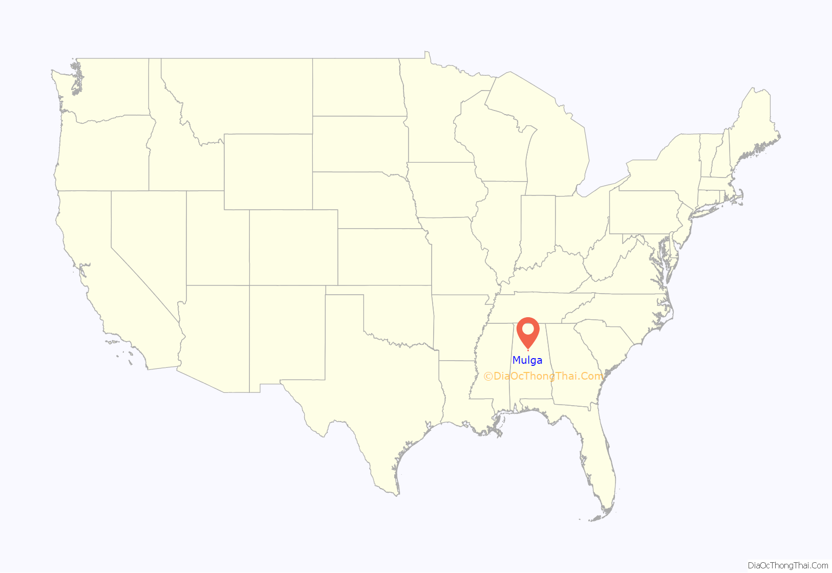
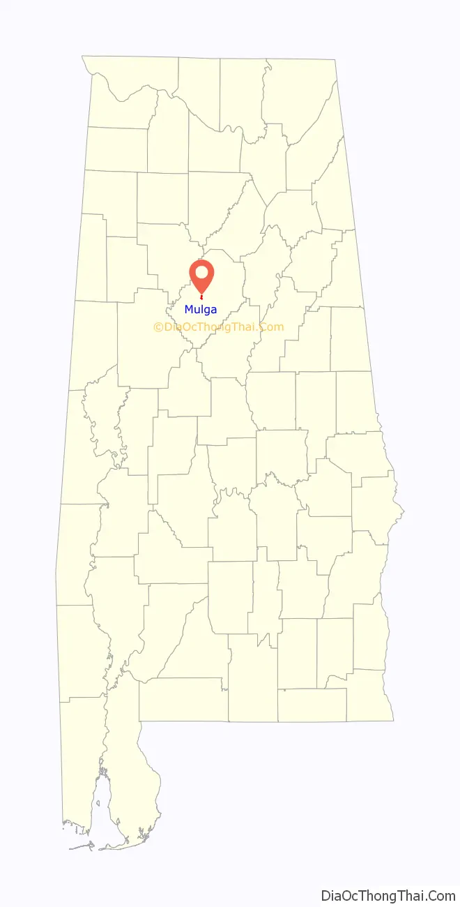
Mulga location map. Where is Mulga town?
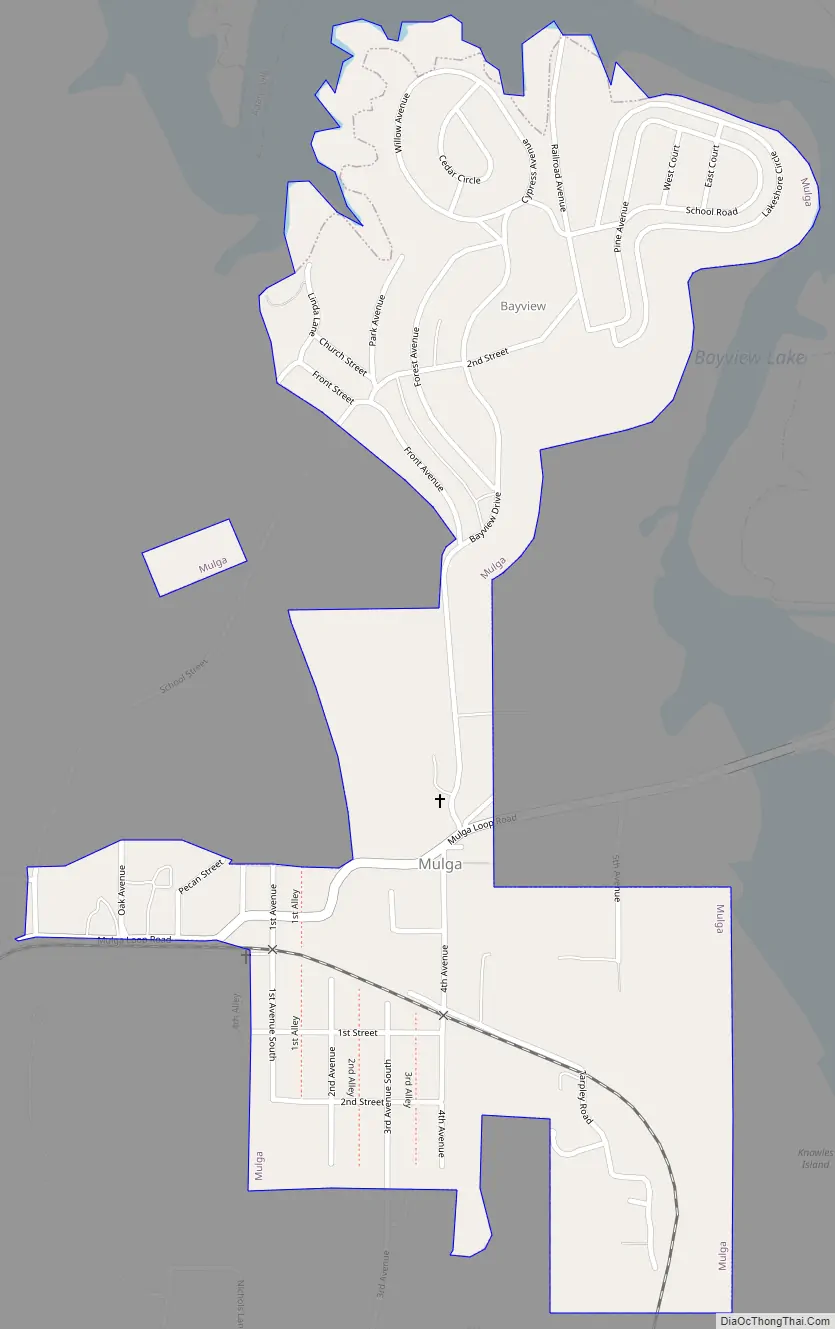
Mulga Road Map
Mulga city Satellite Map

Geography
Mulga is located at 33°32′56″N 86°58′38″W / 33.54889°N 86.97722°W / 33.54889; -86.97722 (33.548891, -86.977254).
According to the U.S. Census Bureau, the town has a total area of 0.6 square miles (1.6 km), all land.
See also
Map of Alabama State and its subdivision:- Autauga
- Baldwin
- Barbour
- Bibb
- Blount
- Bullock
- Butler
- Calhoun
- Chambers
- Cherokee
- Chilton
- Choctaw
- Clarke
- Clay
- Cleburne
- Coffee
- Colbert
- Conecuh
- Coosa
- Covington
- Crenshaw
- Cullman
- Dale
- Dallas
- De Kalb
- Elmore
- Escambia
- Etowah
- Fayette
- Franklin
- Geneva
- Greene
- Hale
- Henry
- Houston
- Jackson
- Jefferson
- Lamar
- Lauderdale
- Lawrence
- Lee
- Limestone
- Lowndes
- Macon
- Madison
- Marengo
- Marion
- Marshall
- Mobile
- Monroe
- Montgomery
- Morgan
- Perry
- Pickens
- Pike
- Randolph
- Russell
- Saint Clair
- Shelby
- Sumter
- Talladega
- Tallapoosa
- Tuscaloosa
- Walker
- Washington
- Wilcox
- Winston
- Alabama
- Alaska
- Arizona
- Arkansas
- California
- Colorado
- Connecticut
- Delaware
- District of Columbia
- Florida
- Georgia
- Hawaii
- Idaho
- Illinois
- Indiana
- Iowa
- Kansas
- Kentucky
- Louisiana
- Maine
- Maryland
- Massachusetts
- Michigan
- Minnesota
- Mississippi
- Missouri
- Montana
- Nebraska
- Nevada
- New Hampshire
- New Jersey
- New Mexico
- New York
- North Carolina
- North Dakota
- Ohio
- Oklahoma
- Oregon
- Pennsylvania
- Rhode Island
- South Carolina
- South Dakota
- Tennessee
- Texas
- Utah
- Vermont
- Virginia
- Washington
- West Virginia
- Wisconsin
- Wyoming


