Pelham is a city in Shelby County, Alabama, United States. It incorporated in July 1964 and is a suburb located in the Birmingham metropolitan area, Alabama which was home to over 1.1 million residents as of the 2020 census. At the 2000 census the population was 14,369, and has grown to 24,318 by the 2020 census, nearly doubling. It was named for Confederate Civil War officer John Pelham.
| Name: | Pelham city |
|---|---|
| LSAD Code: | 25 |
| LSAD Description: | city (suffix) |
| State: | Alabama |
| County: | Shelby County |
| Elevation: | 856 ft (261 m) |
| Total Area: | 39.34 sq mi (101.88 km²) |
| Land Area: | 38.83 sq mi (100.57 km²) |
| Water Area: | 0.51 sq mi (1.31 km²) |
| Total Population: | 24,318 |
| Population Density: | 626.24/sq mi (241.79/km²) |
| ZIP code: | 35124 |
| Area code: | 205, 659 |
| FIPS code: | 0158848 |
| GNISfeature ID: | 2404497 |
| Website: | http://www.pelhamonline.com/ |
Online Interactive Map
Click on ![]() to view map in "full screen" mode.
to view map in "full screen" mode.
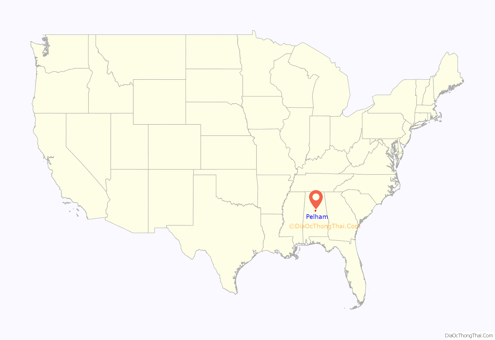
Pelham location map. Where is Pelham city?
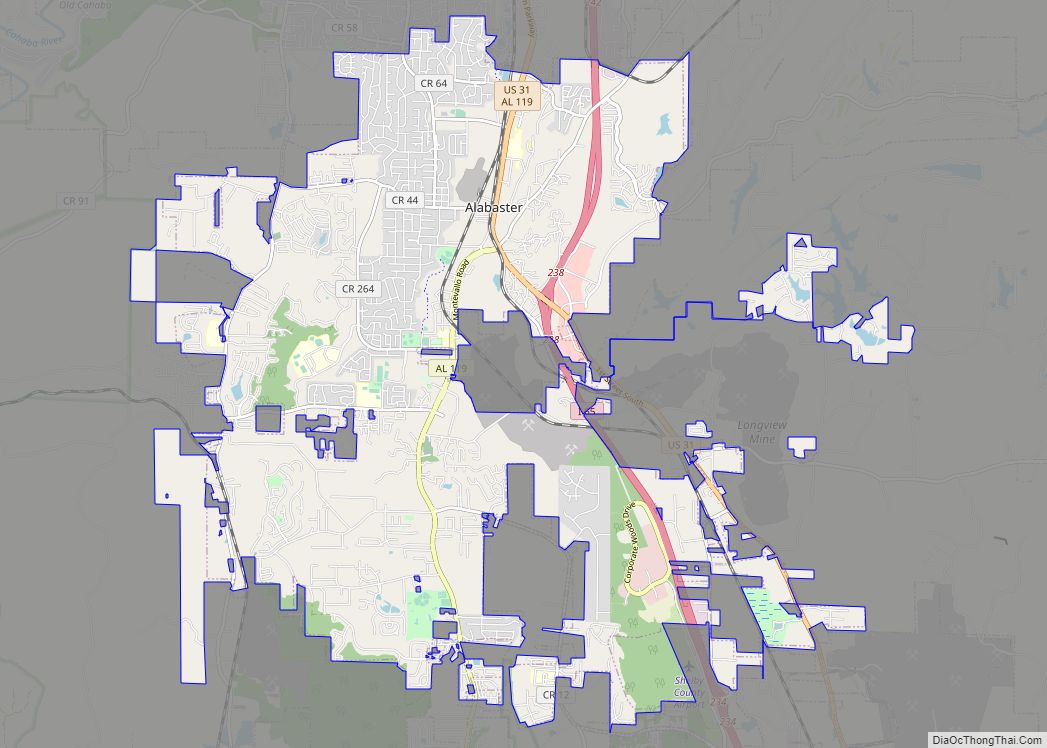
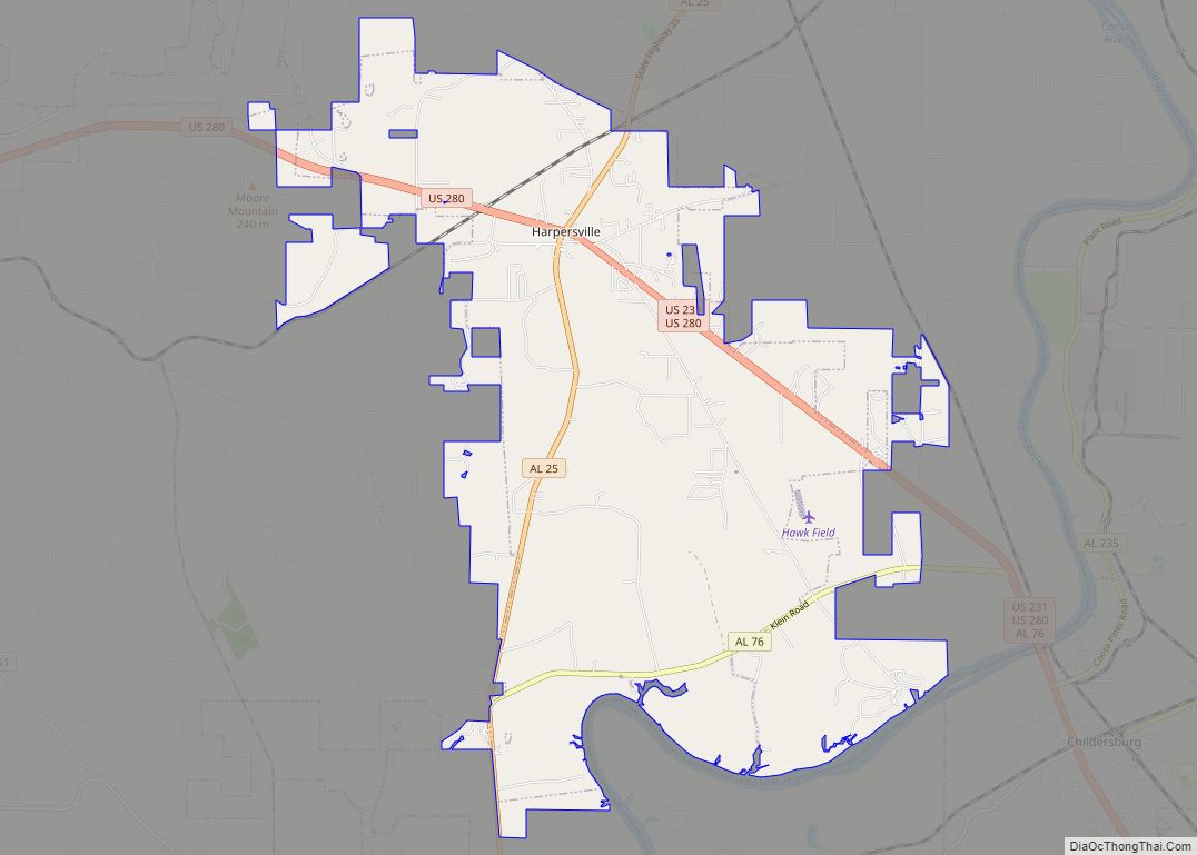
Pelham Road Map
Pelham city Satellite Map
Geography
Pelham is located at 33°18′16″N 86°47′5″W / 33.30444°N 86.78472°W / 33.30444; -86.78472 (33.304581, -86.784620).
According to the U.S. Census Bureau, the city has a total area of 38.3 square miles (99 km), 38.0 square miles (98 km) is land and 0.3 square miles (0.78 km) (0.89%) is water.
Oak Mountain State Park, Alabama’s largest state park, is located in Pelham.
The city is located along U.S. Route 31, which runs directly through the city, as well as I-65, with access from exits 242 and 246. Downtown Birmingham is 20 mi (32 km) north, and Montgomery is 72 mi (116 km) south, both via US-31 or I-65.
See also
Map of Alabama State and its subdivision:- Autauga
- Baldwin
- Barbour
- Bibb
- Blount
- Bullock
- Butler
- Calhoun
- Chambers
- Cherokee
- Chilton
- Choctaw
- Clarke
- Clay
- Cleburne
- Coffee
- Colbert
- Conecuh
- Coosa
- Covington
- Crenshaw
- Cullman
- Dale
- Dallas
- De Kalb
- Elmore
- Escambia
- Etowah
- Fayette
- Franklin
- Geneva
- Greene
- Hale
- Henry
- Houston
- Jackson
- Jefferson
- Lamar
- Lauderdale
- Lawrence
- Lee
- Limestone
- Lowndes
- Macon
- Madison
- Marengo
- Marion
- Marshall
- Mobile
- Monroe
- Montgomery
- Morgan
- Perry
- Pickens
- Pike
- Randolph
- Russell
- Saint Clair
- Shelby
- Sumter
- Talladega
- Tallapoosa
- Tuscaloosa
- Walker
- Washington
- Wilcox
- Winston
- Alabama
- Alaska
- Arizona
- Arkansas
- California
- Colorado
- Connecticut
- Delaware
- District of Columbia
- Florida
- Georgia
- Hawaii
- Idaho
- Illinois
- Indiana
- Iowa
- Kansas
- Kentucky
- Louisiana
- Maine
- Maryland
- Massachusetts
- Michigan
- Minnesota
- Mississippi
- Missouri
- Montana
- Nebraska
- Nevada
- New Hampshire
- New Jersey
- New Mexico
- New York
- North Carolina
- North Dakota
- Ohio
- Oklahoma
- Oregon
- Pennsylvania
- Rhode Island
- South Carolina
- South Dakota
- Tennessee
- Texas
- Utah
- Vermont
- Virginia
- Washington
- West Virginia
- Wisconsin
- Wyoming
