Pinson is a city in Jefferson County near Birmingham, Alabama, United States, northwest of Center Point. As of the 2010 census, the population was 7,163. Home to famous “butterbean festival”
| Name: | Pinson city |
|---|---|
| LSAD Code: | 25 |
| LSAD Description: | city (suffix) |
| State: | Alabama |
| County: | Jefferson County |
| Elevation: | 663 ft (202 m) |
| Total Area: | 11.59 sq mi (30.02 km²) |
| Land Area: | 11.56 sq mi (29.95 km²) |
| Water Area: | 0.03 sq mi (0.07 km²) |
| Total Population: | 7,215 |
| Population Density: | 623.97/sq mi (240.91/km²) |
| ZIP code: | 35126, 35123, 35215 |
| Area code: | 205 & 659 |
| FIPS code: | 0160648 |
| GNISfeature ID: | 2424931 |
| Website: | thecityofpinson.com |
Online Interactive Map
Click on ![]() to view map in "full screen" mode.
to view map in "full screen" mode.
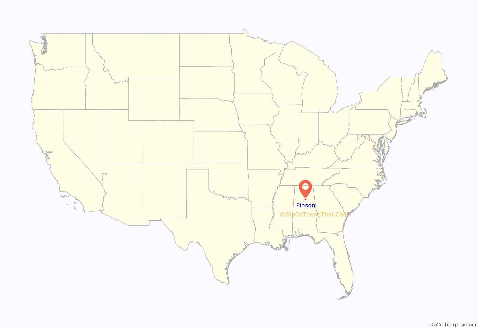
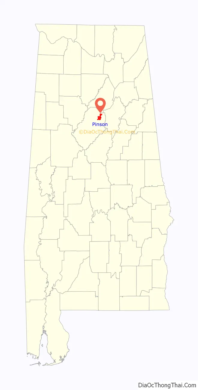
Pinson location map. Where is Pinson city?
History
Pinson was incorporated in March 2004.
Pinson Road Map

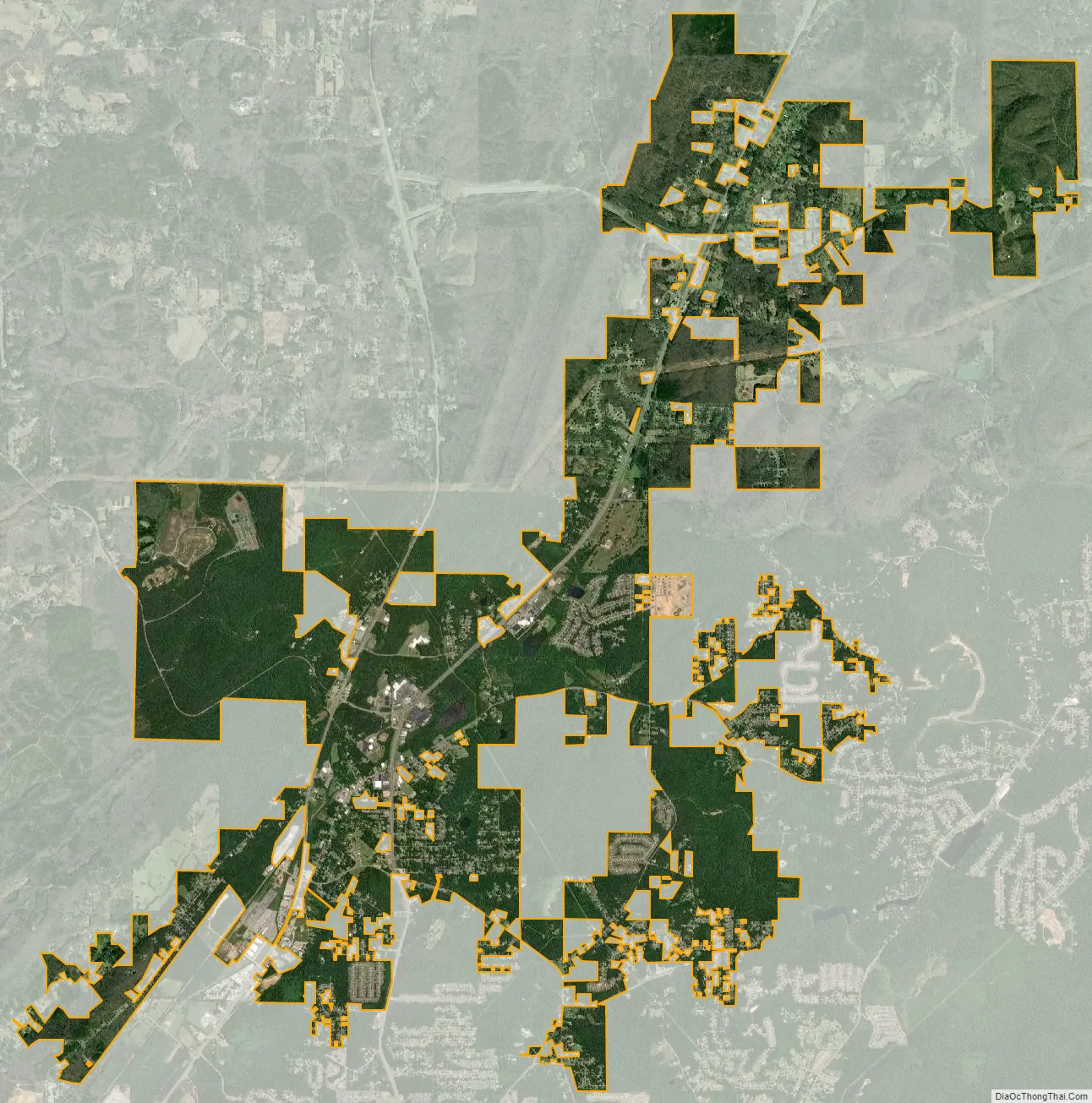
Pinson city Satellite Map
Geography
This city is located at 33°41′11″N 86°40′55″W / 33.68639°N 86.68194°W / 33.68639; -86.68194 (33.686301, -86.681913).
According to the U.S. Census Bureau, the community has a total area of 7.0 square miles (18 km), of which 7.0 square miles (18 km) is land and 0.04 square miles (0.10 km) (0.43%) is water.
Pinson is located in an area of SW – NE parallel ridges, with occasional rock outcrops, especially toward the east-facing ridge crests. Pinson is home to the Turkey Creek Nature Preserve and the Alabama Butterbean Festival.
The Palmerdale Homesteads are located within the city limits of Pinson. The Palmerdale Homesteads were the first of five farmers’ resettlement communities built in Alabama under President Franklin Roosevelt’s New Deal in the 1930s. The first of the 102 homesteads were completed in 1935. A community store and elementary school/community center were completed in 1937 to serve the farming community.
Climate
See also
Map of Alabama State and its subdivision:- Autauga
- Baldwin
- Barbour
- Bibb
- Blount
- Bullock
- Butler
- Calhoun
- Chambers
- Cherokee
- Chilton
- Choctaw
- Clarke
- Clay
- Cleburne
- Coffee
- Colbert
- Conecuh
- Coosa
- Covington
- Crenshaw
- Cullman
- Dale
- Dallas
- De Kalb
- Elmore
- Escambia
- Etowah
- Fayette
- Franklin
- Geneva
- Greene
- Hale
- Henry
- Houston
- Jackson
- Jefferson
- Lamar
- Lauderdale
- Lawrence
- Lee
- Limestone
- Lowndes
- Macon
- Madison
- Marengo
- Marion
- Marshall
- Mobile
- Monroe
- Montgomery
- Morgan
- Perry
- Pickens
- Pike
- Randolph
- Russell
- Saint Clair
- Shelby
- Sumter
- Talladega
- Tallapoosa
- Tuscaloosa
- Walker
- Washington
- Wilcox
- Winston
- Alabama
- Alaska
- Arizona
- Arkansas
- California
- Colorado
- Connecticut
- Delaware
- District of Columbia
- Florida
- Georgia
- Hawaii
- Idaho
- Illinois
- Indiana
- Iowa
- Kansas
- Kentucky
- Louisiana
- Maine
- Maryland
- Massachusetts
- Michigan
- Minnesota
- Mississippi
- Missouri
- Montana
- Nebraska
- Nevada
- New Hampshire
- New Jersey
- New Mexico
- New York
- North Carolina
- North Dakota
- Ohio
- Oklahoma
- Oregon
- Pennsylvania
- Rhode Island
- South Carolina
- South Dakota
- Tennessee
- Texas
- Utah
- Vermont
- Virginia
- Washington
- West Virginia
- Wisconsin
- Wyoming


