Snead is a town in Blount County, Alabama, United States. At the 2020 census, the population was 1,032.
| Name: | Snead town |
|---|---|
| LSAD Code: | 43 |
| LSAD Description: | town (suffix) |
| State: | Alabama |
| County: | Blount County |
| Elevation: | 791 ft (241 m) |
| Total Area: | 5.54 sq mi (14.34 km²) |
| Land Area: | 5.52 sq mi (14.30 km²) |
| Water Area: | 0.02 sq mi (0.05 km²) |
| Total Population: | 1,032 |
| Population Density: | 186.96/sq mi (72.19/km²) |
| FIPS code: | 0171280 |
| GNISfeature ID: | 0127070 |
Online Interactive Map
Click on ![]() to view map in "full screen" mode.
to view map in "full screen" mode.
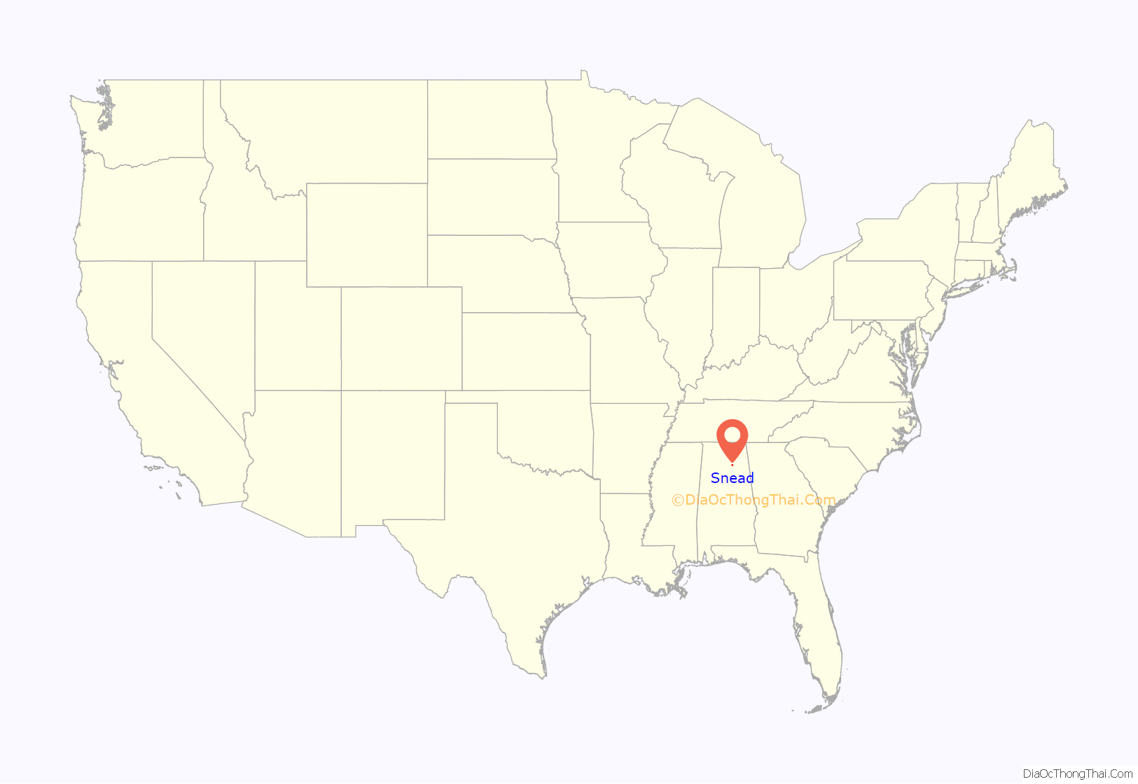
Snead location map. Where is Snead town?
History
First settled in 1839, what is now Snead began to expand in the 1850s when local businessman G.W. White built a gristmill on the nearby Black Warrior River. The town is named for John Snead, who became its first postmaster in 1882 (Snead State Community College in nearby Boaz is also named for John Snead). The Town of Snead incorporated in 1966.
Snead Road Map
Snead city Satellite Map
Geography
Snead is located in northeastern Blount County at 34°6’57.492″ North, 86°23’29.443″ West (34.115970, -86.391512). The town is centered on the crossroads of U.S. Route 278 and Alabama State Route 75. US-278 leads east 26 miles (42 km) to Gadsden and west 27 miles (43 km) to Cullman. Highway 75 leads northeast 15 miles (24 km) to Albertville and 14 miles (23 km) southwest to Oneonta, the Blount County seat.
The town is bordered to the northeast by the Locust Fork of the Black Warrior River.
According to the U.S. Census Bureau, the town has a total area of 5.3 square miles (13.7 km), of which 5.3 square miles (13.6 km) is land and 0.019 square miles (0.05 km), or 0.36%, is water.
See also
Map of Alabama State and its subdivision:- Autauga
- Baldwin
- Barbour
- Bibb
- Blount
- Bullock
- Butler
- Calhoun
- Chambers
- Cherokee
- Chilton
- Choctaw
- Clarke
- Clay
- Cleburne
- Coffee
- Colbert
- Conecuh
- Coosa
- Covington
- Crenshaw
- Cullman
- Dale
- Dallas
- De Kalb
- Elmore
- Escambia
- Etowah
- Fayette
- Franklin
- Geneva
- Greene
- Hale
- Henry
- Houston
- Jackson
- Jefferson
- Lamar
- Lauderdale
- Lawrence
- Lee
- Limestone
- Lowndes
- Macon
- Madison
- Marengo
- Marion
- Marshall
- Mobile
- Monroe
- Montgomery
- Morgan
- Perry
- Pickens
- Pike
- Randolph
- Russell
- Saint Clair
- Shelby
- Sumter
- Talladega
- Tallapoosa
- Tuscaloosa
- Walker
- Washington
- Wilcox
- Winston
- Alabama
- Alaska
- Arizona
- Arkansas
- California
- Colorado
- Connecticut
- Delaware
- District of Columbia
- Florida
- Georgia
- Hawaii
- Idaho
- Illinois
- Indiana
- Iowa
- Kansas
- Kentucky
- Louisiana
- Maine
- Maryland
- Massachusetts
- Michigan
- Minnesota
- Mississippi
- Missouri
- Montana
- Nebraska
- Nevada
- New Hampshire
- New Jersey
- New Mexico
- New York
- North Carolina
- North Dakota
- Ohio
- Oklahoma
- Oregon
- Pennsylvania
- Rhode Island
- South Carolina
- South Dakota
- Tennessee
- Texas
- Utah
- Vermont
- Virginia
- Washington
- West Virginia
- Wisconsin
- Wyoming
