Vance is a town in Tuscaloosa and Bibb counties in the U.S. state of Alabama. As of the 2010 census it had a population of 1,529. It is most famous for the Mercedes-Benz U.S. International plant, currently the only one in North America. The current mayor of Vance is Brenda Morrison.
The Tuscaloosa County portion of Vance is part of the Tuscaloosa Metropolitan Statistical Area, while the Bibb County portion is part of the Birmingham–Hoover Metropolitan Statistical Area.
| Name: | Vance town |
|---|---|
| LSAD Code: | 43 |
| LSAD Description: | town (suffix) |
| State: | Alabama |
| County: | Bibb County, Tuscaloosa County |
| Elevation: | 509 ft (155 m) |
| Total Area: | 10.21 sq mi (26.44 km²) |
| Land Area: | 10.18 sq mi (26.36 km²) |
| Water Area: | 0.03 sq mi (0.08 km²) |
| Total Population: | 2,092 |
| Population Density: | 205.56/sq mi (79.36/km²) |
| ZIP code: | 35490 |
| Area code: | 205, 659 |
| FIPS code: | 0178264 |
| GNISfeature ID: | 0158947 |
| Website: | townofvance.weebly.com |
Online Interactive Map
Click on ![]() to view map in "full screen" mode.
to view map in "full screen" mode.
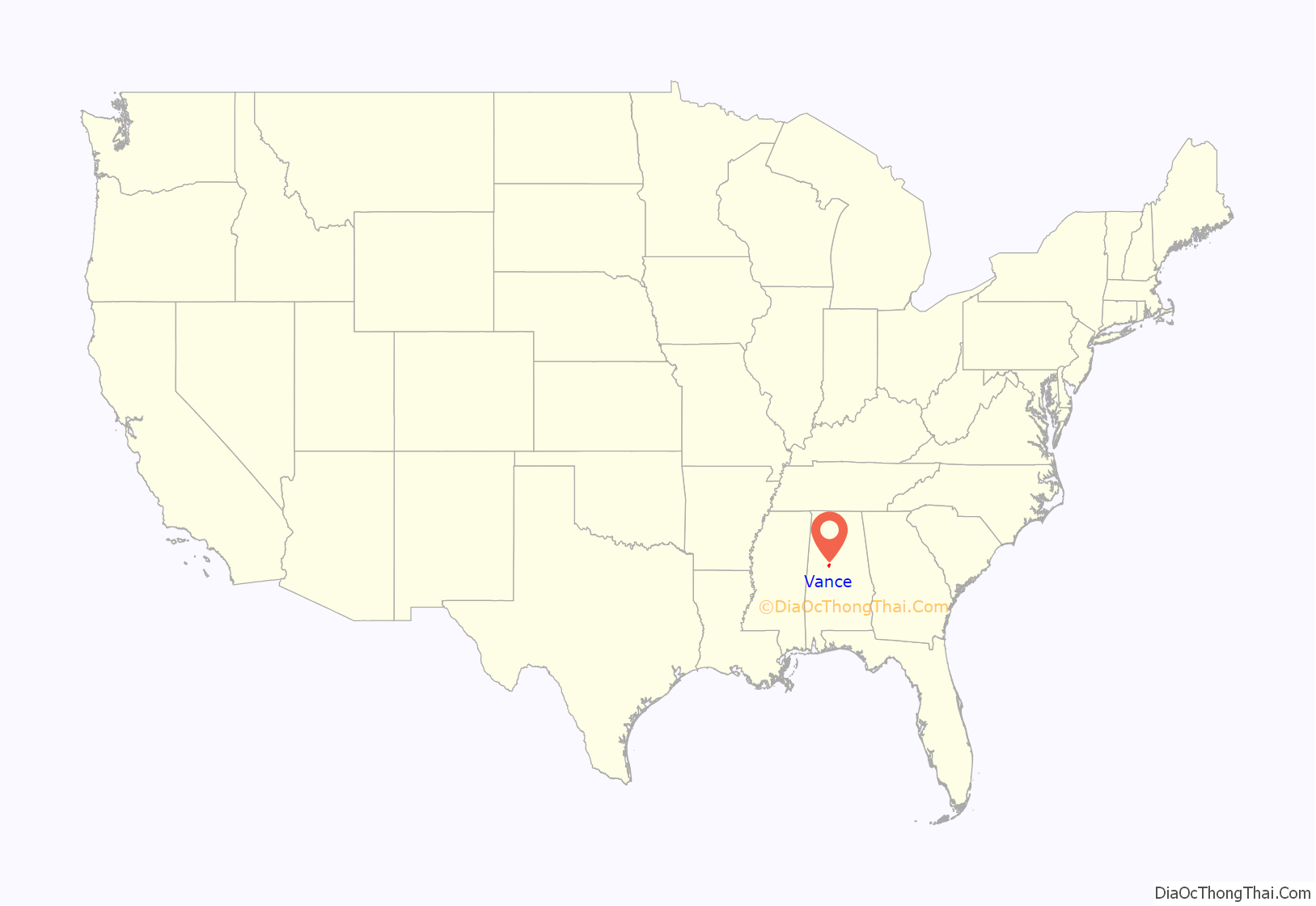
Vance location map. Where is Vance town?
History
The town of Vance was first settled in 1830 by David M. Lindley. At that time, the town was called Trion and it was a trading post on the Old Huntsville Road.
In 1872, Trion was renamed Smallwood in honor of sawmill owner Charles Smallwood.
In 1879, Smallwood was renamed its current name Vance in honor of Dr. William Vance of North Carolina. It appeared on the 1880 U.S. Census as the village of Vance’s Station.
It formally incorporated in 1972.
Vance Road Map
Vance city Satellite Map
Geography
Most of the town of Vance is located in southeastern Tuscaloosa County, with the town center at 33°9’52.276″ North, 87°13’54.185″ West (33.164521, -87.231718). The town extends south into Bibb County. U.S. Route 11 passes through the center of the town, leading west 21 miles (34 km) to Tuscaloosa and northeast 36 miles (58 km) to downtown Birmingham. Interstate 59 parallels Route 11 and serves Vance via Exit 89, adjacent to the Mercedes-Benz plant.
According to the U.S. Census Bureau, the town has a total area of 10.2 square miles (26.5 km), of which 10.2 square miles (26.4 km) is land and 0.04 square miles (0.1 km), or 0.29%, is water.
See also
Map of Alabama State and its subdivision:- Autauga
- Baldwin
- Barbour
- Bibb
- Blount
- Bullock
- Butler
- Calhoun
- Chambers
- Cherokee
- Chilton
- Choctaw
- Clarke
- Clay
- Cleburne
- Coffee
- Colbert
- Conecuh
- Coosa
- Covington
- Crenshaw
- Cullman
- Dale
- Dallas
- De Kalb
- Elmore
- Escambia
- Etowah
- Fayette
- Franklin
- Geneva
- Greene
- Hale
- Henry
- Houston
- Jackson
- Jefferson
- Lamar
- Lauderdale
- Lawrence
- Lee
- Limestone
- Lowndes
- Macon
- Madison
- Marengo
- Marion
- Marshall
- Mobile
- Monroe
- Montgomery
- Morgan
- Perry
- Pickens
- Pike
- Randolph
- Russell
- Saint Clair
- Shelby
- Sumter
- Talladega
- Tallapoosa
- Tuscaloosa
- Walker
- Washington
- Wilcox
- Winston
- Alabama
- Alaska
- Arizona
- Arkansas
- California
- Colorado
- Connecticut
- Delaware
- District of Columbia
- Florida
- Georgia
- Hawaii
- Idaho
- Illinois
- Indiana
- Iowa
- Kansas
- Kentucky
- Louisiana
- Maine
- Maryland
- Massachusetts
- Michigan
- Minnesota
- Mississippi
- Missouri
- Montana
- Nebraska
- Nevada
- New Hampshire
- New Jersey
- New Mexico
- New York
- North Carolina
- North Dakota
- Ohio
- Oklahoma
- Oregon
- Pennsylvania
- Rhode Island
- South Carolina
- South Dakota
- Tennessee
- Texas
- Utah
- Vermont
- Virginia
- Washington
- West Virginia
- Wisconsin
- Wyoming
