Vestavia Hills, colloquially known simply as Vestavia, is a city in Jefferson and Shelby counties in the U.S. state of Alabama. It is a suburb of Birmingham and it is made up of Vestavia, Liberty Park, and Cahaba Heights. As of the 2020 census, its population was 39,102, up from 34,033 in 2010. It moved up from the fifth largest city in Jefferson County in 2000 to the third largest in 2010, behind Birmingham and Hoover.
| Name: | Vestavia Hills city |
|---|---|
| LSAD Code: | 25 |
| LSAD Description: | city (suffix) |
| State: | Alabama |
| County: | Jefferson County, Shelby County |
| Elevation: | 699 ft (213 m) |
| Total Area: | 20.27 sq mi (52.49 km²) |
| Land Area: | 20.03 sq mi (51.87 km²) |
| Water Area: | 0.24 sq mi (0.63 km²) |
| Total Population: | 39,102 |
| Population Density: | 1,952.56/sq mi (753.89/km²) |
| ZIP code: | 35216, 35226, 35243, 35242 |
| Area code: | 205 & 659 |
| FIPS code: | 0178552 |
| GNISfeature ID: | 2405646 |
| Website: | http://vhal.org/ |
Online Interactive Map
Click on ![]() to view map in "full screen" mode.
to view map in "full screen" mode.
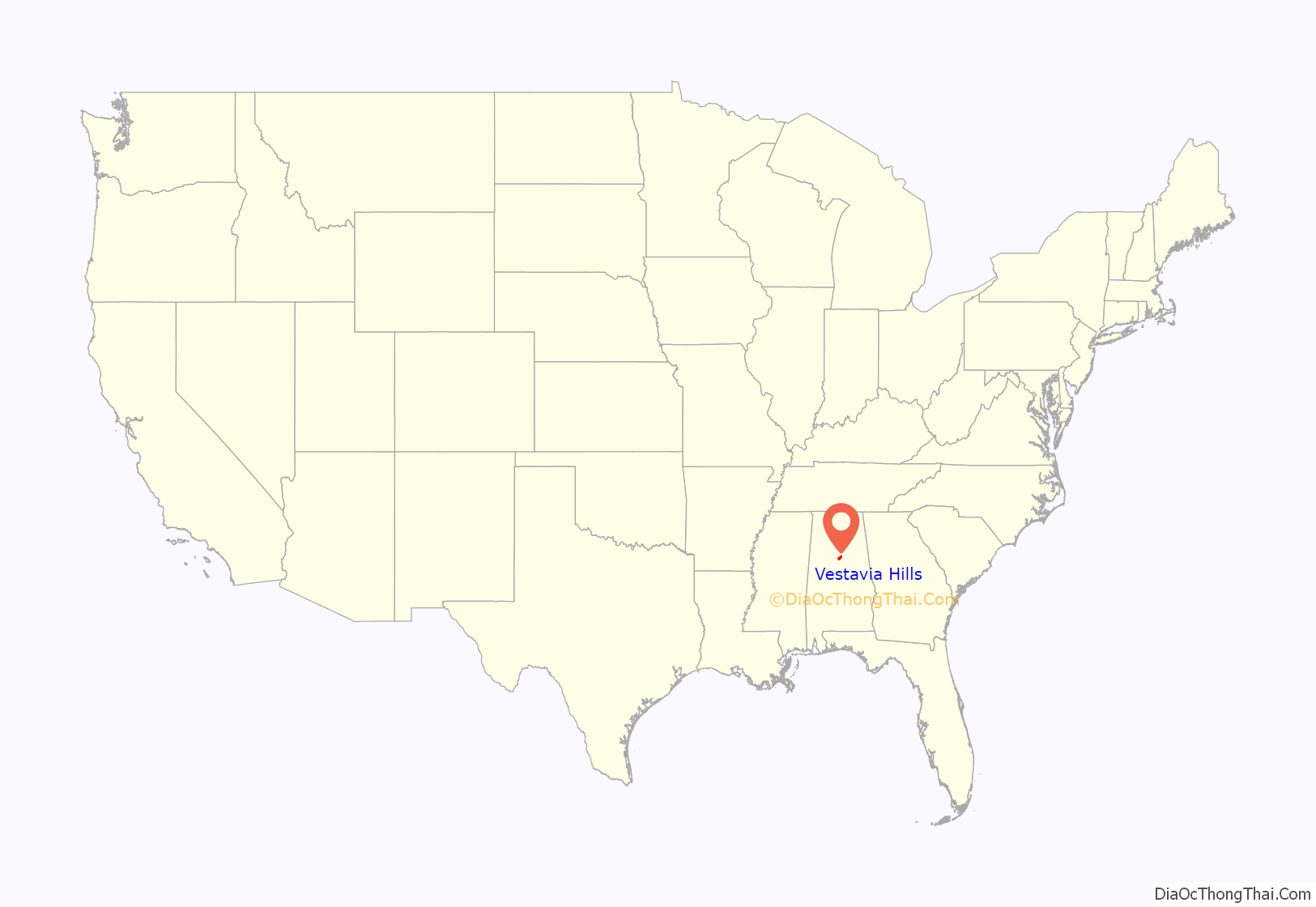
Vestavia Hills location map. Where is Vestavia Hills city?
History
Vestavia Hills is named for the 20-acre (8.1 ha) estate of former Birmingham mayor George B. Ward. It was situated on the crest of Shades Mountain in what is now the northern edge of the city. Ward’s mansion at the Vestavia estate became a landmark in the area as soon as it was completed in 1925. The 2+1⁄2-story house was patterned after the circular Temple of Vesta in Rome, with dark pink sandstone walls encircled by 20 massive white Doric columns surmounted by a carved entablature. The extensive gardens, populated by statuary and peacocks, surrounded a smaller domed gazebo patterned after the Temple of Sibyl in Tivoli.
After Ward’s death, the house, something of a tourist stop near the highway between Birmingham and Montgomery, was used as a tearoom and reception hall before being purchased by Vestavia Hills Baptist Church. The church met in the temple like structure for several years before demolishing a portion of the building in 1971 to make way for a larger building; a central portion of the original building remains. The local garden club moved the gazebo to a prominent outcropping closer to the highway, there to serve as a landmark gateway into the community.
The development of Vestavia Hills as a residential suburb began in 1946, when developer Charles Byrd planned a subdivision for approximately 1,000 people on the southern flank of Shades Mountain. The suburb was incorporated as a separate city on November 8, 1950, and has since grown, by rapid development and annexation, into a thriving small city of over 39,000 by 2020.
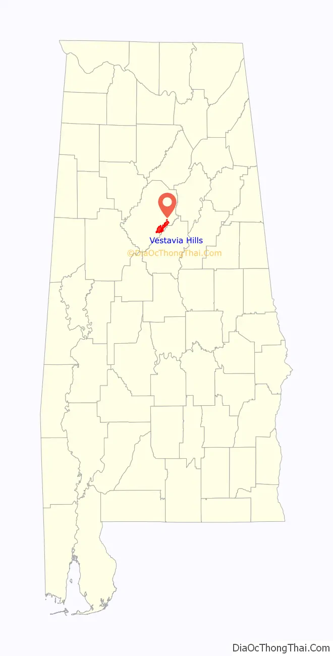
Vestavia Hills Road Map
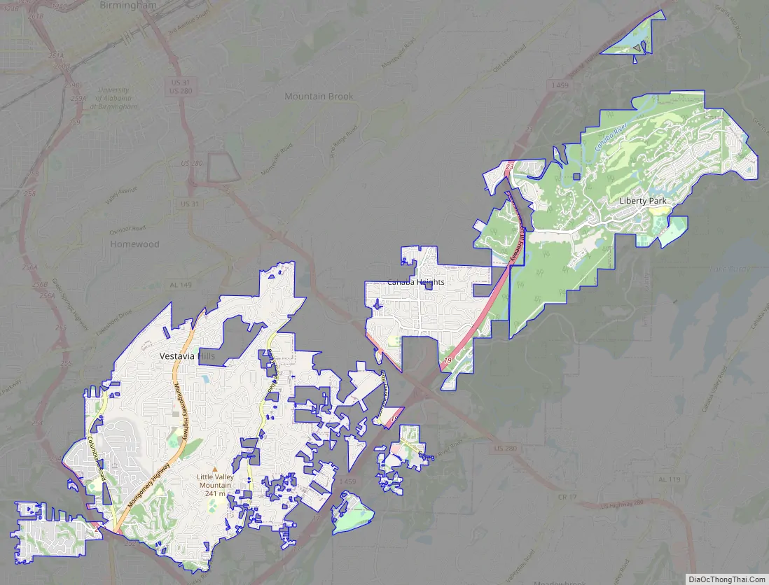
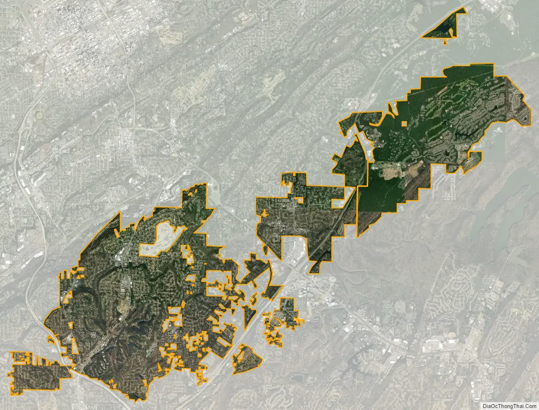
Vestavia Hills city Satellite Map
Geography
Vestavia Hills is located at 33°25′59″N 86°46′44″W / 33.43306°N 86.77889°W / 33.43306; -86.77889 (33.433057, −86.778894). The Vestavia Hills Federal Information Processing Standard (FIPS) code is 78552.
The city is located along U.S. Route 31, which runs north to south through the city, leading north 7 mi (11 km) to downtown Birmingham and southwest 4 mi (6 km) to Hoover.
According to the U.S. Census Bureau, the city has a total area of 19.41 square miles (50.3 km), of which 19.40 square miles (50.2 km) is land and 0.07%, water.
See also
Map of Alabama State and its subdivision:- Autauga
- Baldwin
- Barbour
- Bibb
- Blount
- Bullock
- Butler
- Calhoun
- Chambers
- Cherokee
- Chilton
- Choctaw
- Clarke
- Clay
- Cleburne
- Coffee
- Colbert
- Conecuh
- Coosa
- Covington
- Crenshaw
- Cullman
- Dale
- Dallas
- De Kalb
- Elmore
- Escambia
- Etowah
- Fayette
- Franklin
- Geneva
- Greene
- Hale
- Henry
- Houston
- Jackson
- Jefferson
- Lamar
- Lauderdale
- Lawrence
- Lee
- Limestone
- Lowndes
- Macon
- Madison
- Marengo
- Marion
- Marshall
- Mobile
- Monroe
- Montgomery
- Morgan
- Perry
- Pickens
- Pike
- Randolph
- Russell
- Saint Clair
- Shelby
- Sumter
- Talladega
- Tallapoosa
- Tuscaloosa
- Walker
- Washington
- Wilcox
- Winston
- Alabama
- Alaska
- Arizona
- Arkansas
- California
- Colorado
- Connecticut
- Delaware
- District of Columbia
- Florida
- Georgia
- Hawaii
- Idaho
- Illinois
- Indiana
- Iowa
- Kansas
- Kentucky
- Louisiana
- Maine
- Maryland
- Massachusetts
- Michigan
- Minnesota
- Mississippi
- Missouri
- Montana
- Nebraska
- Nevada
- New Hampshire
- New Jersey
- New Mexico
- New York
- North Carolina
- North Dakota
- Ohio
- Oklahoma
- Oregon
- Pennsylvania
- Rhode Island
- South Carolina
- South Dakota
- Tennessee
- Texas
- Utah
- Vermont
- Virginia
- Washington
- West Virginia
- Wisconsin
- Wyoming


