Bloomington is a unincorporated community in San Bernardino County, California, United States. The population was 23,851 at the 2010 census, up from 19,318 at the 2000 census. For statistical purposes, the United States Census Bureau has defined Bloomington as a census-designated place (CDP).
Though currently unincorporated, many of the town’s political activists are pushing for Bloomington to attain cityhood, while the nearby cities of Rialto and Fontana are attempting to annex the community. The incorporation effort is led by the Bloomington Incorporation Committee.
| Name: | Bloomington CDP |
|---|---|
| LSAD Code: | 57 |
| LSAD Description: | CDP (suffix) |
| State: | California |
| County: | San Bernardino County |
| Elevation: | 1,099 ft (335 m) |
| Total Area: | 6.07 sq mi (15.73 km²) |
| Land Area: | 6.07 sq mi (15.73 km²) |
| Water Area: | 0.00 sq mi (0.00 km²) 0% |
| Total Population: | 24,339 |
| Population Density: | 4,008.40/sq mi (1,547.68/km²) |
| ZIP code: | 92316 |
| Area code: | 909 |
| FIPS code: | 0607064 |
| GNISfeature ID: | 1656440 |
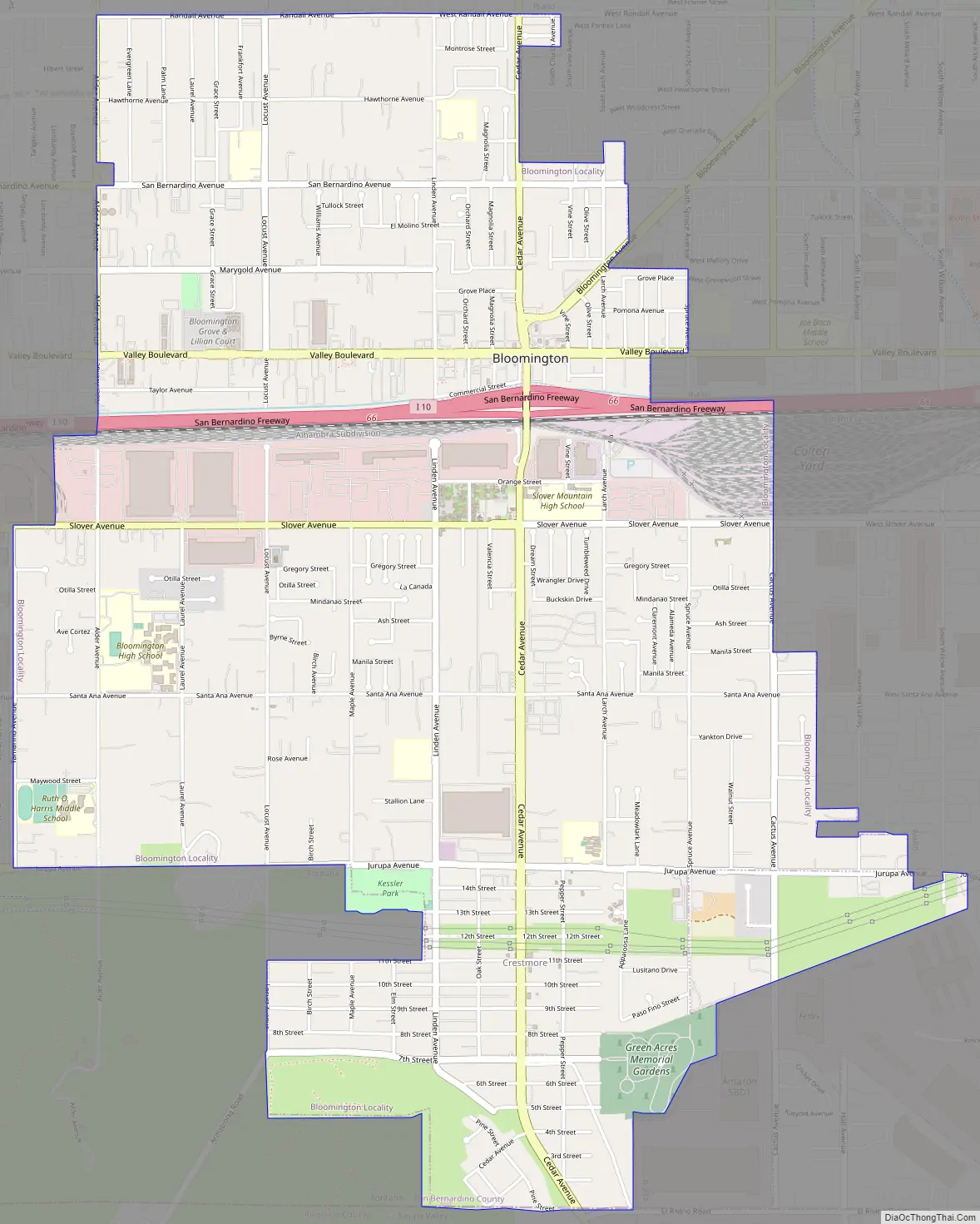
Online Interactive Map
Click on ![]() to view map in "full screen" mode.
to view map in "full screen" mode.
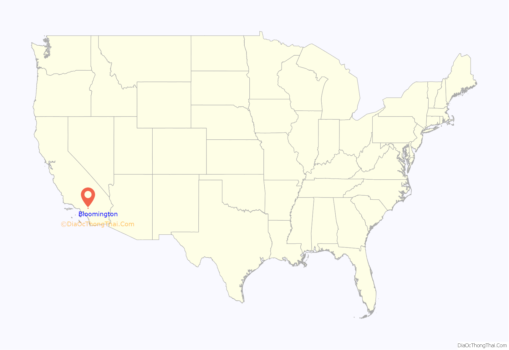
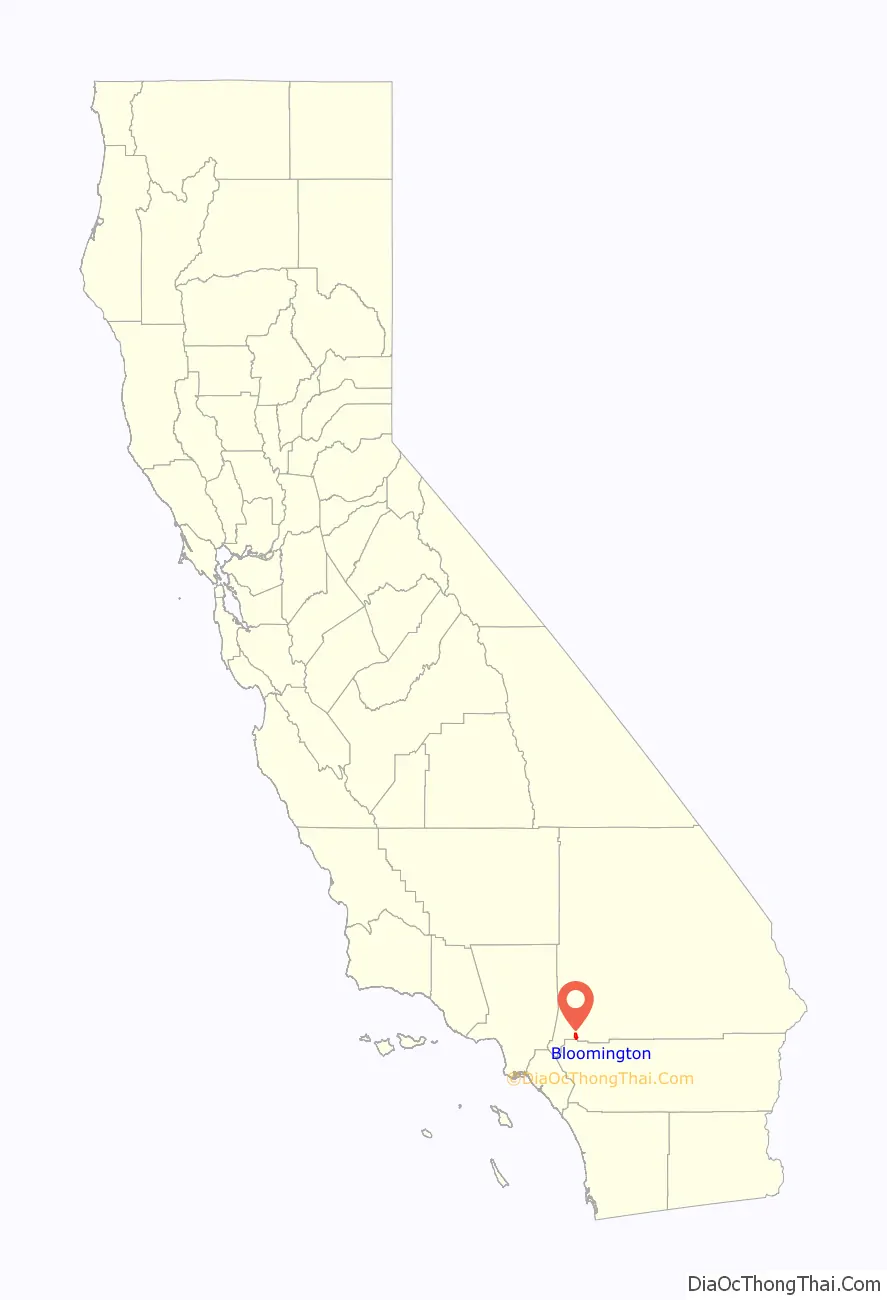
Bloomington location map. Where is Bloomington CDP?
History
Bloomington was originally developed as part of the land holdings of the Semi-Tropic Land and Water Company, which was formed in 1887.
In 1907, the Riverside Portland Cement Company built a large plant near the Crestmore Quarries (South Bloomington), and to provide transportation for employees built a standard gauge railroad to Riverside. On May 20, 1911 the line was opened to Bloomington. The original community, known as Crestmore, is generally located between Locust Avenue and Larch Avenue, south of Jurupa Avenue, extending to the Riverside County line. The Pacific Electric Crestmore Line (Riverside–Rialto) provided local service for many years.
The Semi-Tropic Land and Water Company (now known as West Valley Water District) laid out the town sites of Bloomington, Rialto, Fontana, and Sansevaine. The town site for Bloomington, after being surveyed in April, 1888, was bounded on the north by Valley Boulevard, on the south by Slover Avenue, on the east by Larch Avenue, and on the west by Linden Avenue.
Part of the community is still rural and many residents continue to keep and raise animals. The cities of Rialto and Colton are both trying to annex much of the land now within Bloomington.
Bloomington Road Map
Bloomington city Satellite Map

Geography
According to the United States Census Bureau, the CDP has a total area of 6.0 square miles (16 km), all land.
See also
Map of California State and its subdivision:- Alameda
- Alpine
- Amador
- Butte
- Calaveras
- Colusa
- Contra Costa
- Del Norte
- El Dorado
- Fresno
- Glenn
- Humboldt
- Imperial
- Inyo
- Kern
- Kings
- Lake
- Lassen
- Los Angeles
- Madera
- Marin
- Mariposa
- Mendocino
- Merced
- Modoc
- Mono
- Monterey
- Napa
- Nevada
- Orange
- Placer
- Plumas
- Riverside
- Sacramento
- San Benito
- San Bernardino
- San Diego
- San Francisco
- San Joaquin
- San Luis Obispo
- San Mateo
- Santa Barbara
- Santa Clara
- Santa Cruz
- Shasta
- Sierra
- Siskiyou
- Solano
- Sonoma
- Stanislaus
- Sutter
- Tehama
- Trinity
- Tulare
- Tuolumne
- Ventura
- Yolo
- Yuba
- Alabama
- Alaska
- Arizona
- Arkansas
- California
- Colorado
- Connecticut
- Delaware
- District of Columbia
- Florida
- Georgia
- Hawaii
- Idaho
- Illinois
- Indiana
- Iowa
- Kansas
- Kentucky
- Louisiana
- Maine
- Maryland
- Massachusetts
- Michigan
- Minnesota
- Mississippi
- Missouri
- Montana
- Nebraska
- Nevada
- New Hampshire
- New Jersey
- New Mexico
- New York
- North Carolina
- North Dakota
- Ohio
- Oklahoma
- Oregon
- Pennsylvania
- Rhode Island
- South Carolina
- South Dakota
- Tennessee
- Texas
- Utah
- Vermont
- Virginia
- Washington
- West Virginia
- Wisconsin
- Wyoming


