Guadalupe is a small city located in Santa Barbara County, California. According to the U.S. Census of 2010, the city has a population of 7,080. Guadalupe is economically and socially tied to the city of Santa Maria, which is about 8 miles (13 km) to the east. It is located at the intersection of Highway 1 and Highway 166, immediately south of the Santa Maria River, and 5 miles (8 km) east of the Pacific Ocean.
| Name: | Guadalupe city |
|---|---|
| LSAD Code: | 25 |
| LSAD Description: | city (suffix) |
| State: | California |
| County: | Santa Barbara County |
| Incorporated: | August 3, 1946 |
| Elevation: | 85 ft (26 m) |
| Total Area: | 1.31 sq mi (3.41 km²) |
| Land Area: | 1.31 sq mi (3.39 km²) |
| Water Area: | 0.00 sq mi (0.01 km²) 0.40% |
| Total Population: | 7,080 |
| Population Density: | 5,941.22/sq mi (2,293.09/km²) |
| ZIP code: | 93434 |
| Area code: | 805 |
| FIPS code: | 0631414 |
| Website: | ci.guadalupe.ca.us |
Online Interactive Map
Click on ![]() to view map in "full screen" mode.
to view map in "full screen" mode.
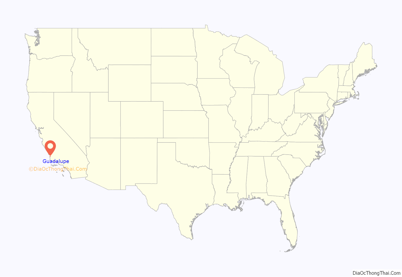
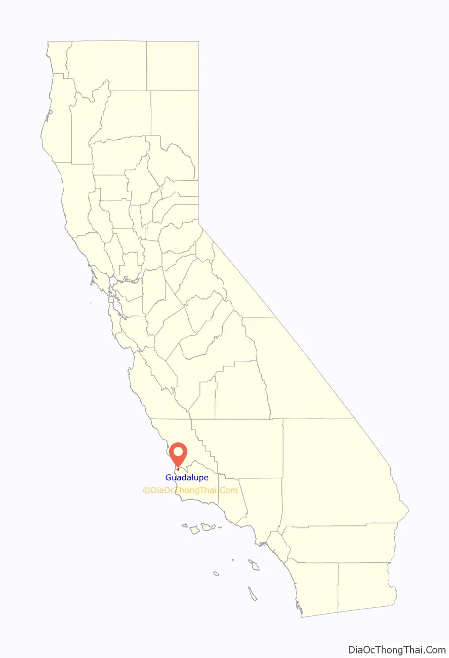
Guadalupe location map. Where is Guadalupe city?
History
The first European land exploration of Alta California, the Spanish Portolá expedition, camped near today’s Guadalupe on September 1, 1769. Franciscan missionary and expedition member Juan Crespí noted in his diary that they found “a very large lake”. The lake has since mostly filled in, leaving a low-lying plain traversed by the Santa Maria River and several tributaries.
When Mission La Purisima was established in 1787, the area became part of the mission’s pasture land. In 1840, following secularization of the mission, the area became part of the Rancho Guadalupe land grant. Rancho Guadalupe was settled by pioneers of many unique backgrounds, such as European, Chinese, Filipino, Japanese, and Mexican. The small town was incorporated as the city of Guadalupe on May 19, 1946. The city name honors Our Lady of Guadalupe, which is the Catholic title given to the Virgin Mary.
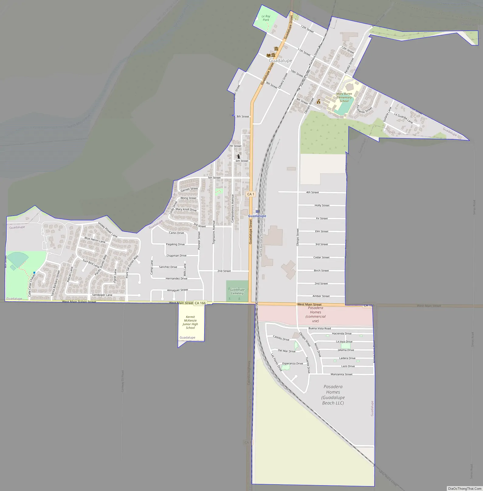
Guadalupe Road Map
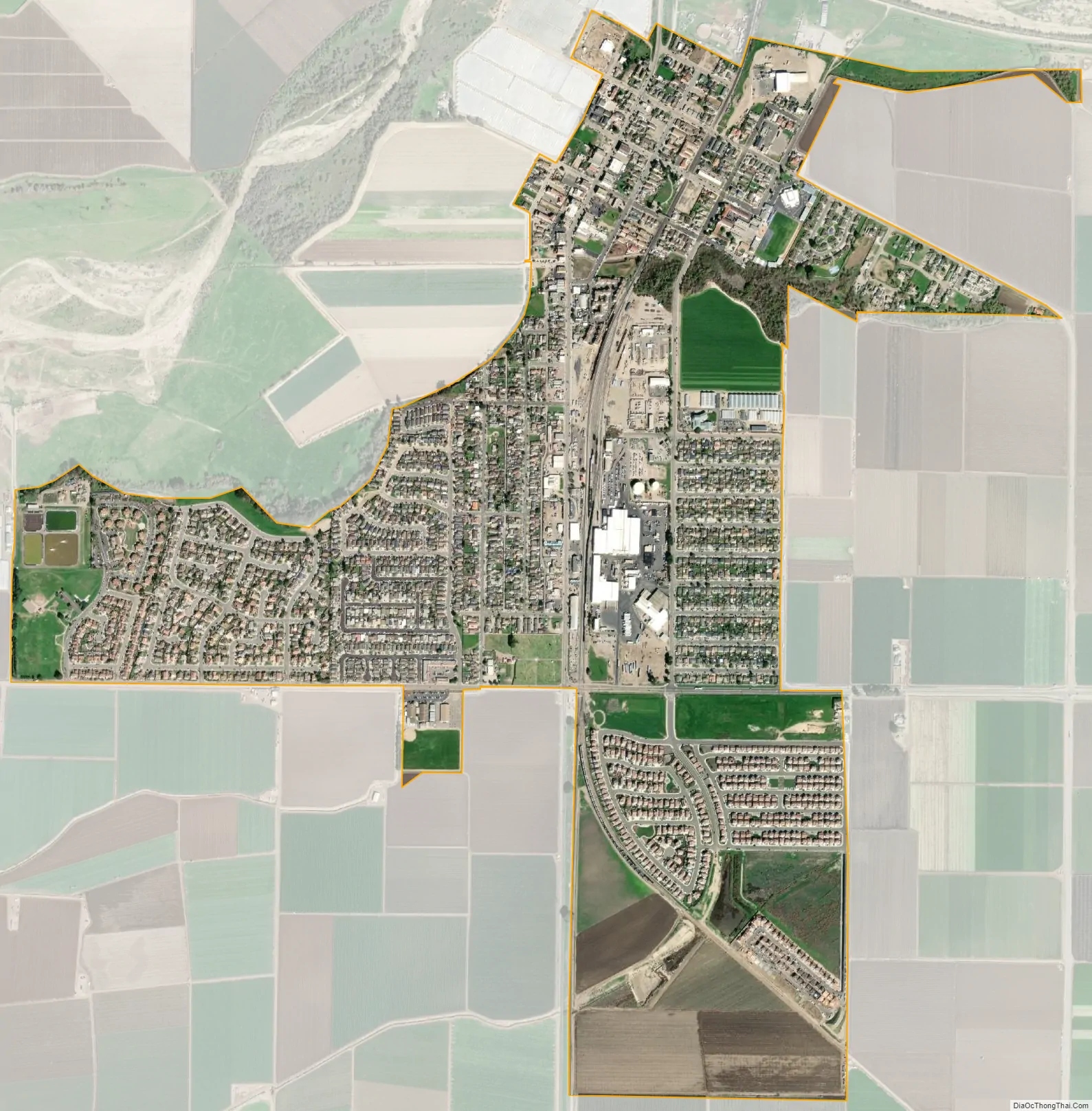
Guadalupe city Satellite Map
Geography
Guadalupe is located in the northwestern extremity of Santa Barbara County, immediately south of the Santa Maria River. The landscape in the vicinity of the town is mostly flat, with the predominant land use being agriculture and oil production. Hills rise to the south of the town; on the other side of the hills is Vandenberg Space Force Base. West of town, both in Santa Barbara County and north in adjacent San Luis Obispo County, is the Guadalupe-Nipomo Dunes, a large region of dune habitat along the Pacific Ocean shore. Filmmakers have used this region as a setting for several films, including Cecil B. DeMille’s 1923 Ten Commandments and in 1998 The Odd Couple II. Scenes from Pirates of the Caribbean: At World’s End and Hidalgo have also been filmed here. The Guadalupe-Nipomo Dunes Center serves as the education and research facility for the natural area.
According to the United States Census Bureau, the city has a total area of 1.3 square miles (3.4 km), 99.60% of it land and 0.40% of it water. The town consists of a tight cluster of buildings, surrounded completely by agricultural land.
Climate
This region experiences mildly warm and dry summers, with no average monthly temperatures above 71.6 °F. According to the Köppen Climate Classification system, Guadalupe has a warm-summer Mediterranean climate, abbreviated “Csb” on climate maps.
See also
Map of California State and its subdivision:- Alameda
- Alpine
- Amador
- Butte
- Calaveras
- Colusa
- Contra Costa
- Del Norte
- El Dorado
- Fresno
- Glenn
- Humboldt
- Imperial
- Inyo
- Kern
- Kings
- Lake
- Lassen
- Los Angeles
- Madera
- Marin
- Mariposa
- Mendocino
- Merced
- Modoc
- Mono
- Monterey
- Napa
- Nevada
- Orange
- Placer
- Plumas
- Riverside
- Sacramento
- San Benito
- San Bernardino
- San Diego
- San Francisco
- San Joaquin
- San Luis Obispo
- San Mateo
- Santa Barbara
- Santa Clara
- Santa Cruz
- Shasta
- Sierra
- Siskiyou
- Solano
- Sonoma
- Stanislaus
- Sutter
- Tehama
- Trinity
- Tulare
- Tuolumne
- Ventura
- Yolo
- Yuba
- Alabama
- Alaska
- Arizona
- Arkansas
- California
- Colorado
- Connecticut
- Delaware
- District of Columbia
- Florida
- Georgia
- Hawaii
- Idaho
- Illinois
- Indiana
- Iowa
- Kansas
- Kentucky
- Louisiana
- Maine
- Maryland
- Massachusetts
- Michigan
- Minnesota
- Mississippi
- Missouri
- Montana
- Nebraska
- Nevada
- New Hampshire
- New Jersey
- New Mexico
- New York
- North Carolina
- North Dakota
- Ohio
- Oklahoma
- Oregon
- Pennsylvania
- Rhode Island
- South Carolina
- South Dakota
- Tennessee
- Texas
- Utah
- Vermont
- Virginia
- Washington
- West Virginia
- Wisconsin
- Wyoming


