Cuyama (/kwiːˈjɑːmə/; (Chumash: Kuyam, meaning “Clam”)) is a census-designated place in Santa Barbara County. California. It is located in the Cuyama Valley, near the Carrizo Plain. The Cuyama River runs adjacent to the town, flowing west towards the Pacific Ocean. Cuyama is surrounded by many apricot, peach, and plum orchards. The ZIP Code is 93254, and the community is inside area code 805. The population was 57 at the 2010 census. The name “Cuyama” comes from an Indian village named Kuyam.
Cuyama is located on California State Route 166 2.5 miles (4 km) east of its much larger neighbor New Cuyama.
South of the town is the Sierra Madre mountain range, most of which is included in the Los Padres National Forest. Considerable oil and gas development has taken place at the South Cuyama Oil Field in the foothills of the Sierra Madre, just south of Cuyama and adjacent New Cuyama. In July 2005, 52,000 acres (210 km) in Los Padres National Forest, mostly in the region immediately south of Cuyama, was opened up to further development by the National Forest Service.
| Name: | Cuyama CDP |
|---|---|
| LSAD Code: | 57 |
| LSAD Description: | CDP (suffix) |
| State: | California |
| County: | Santa Barbara County |
| Elevation: | 2,293 ft (699 m) |
| Total Area: | 0.46 sq mi (1.19 km²) |
| Land Area: | 0.45 sq mi (1.17 km²) |
| Water Area: | 0.00 sq mi (0.01 km²) 0.96% |
| Total Population: | 37 |
| Population Density: | 81.68/sq mi (31.51/km²) |
| FIPS code: | 0617727 |
| GNISfeature ID: | 2582989 |
Online Interactive Map
Click on ![]() to view map in "full screen" mode.
to view map in "full screen" mode.
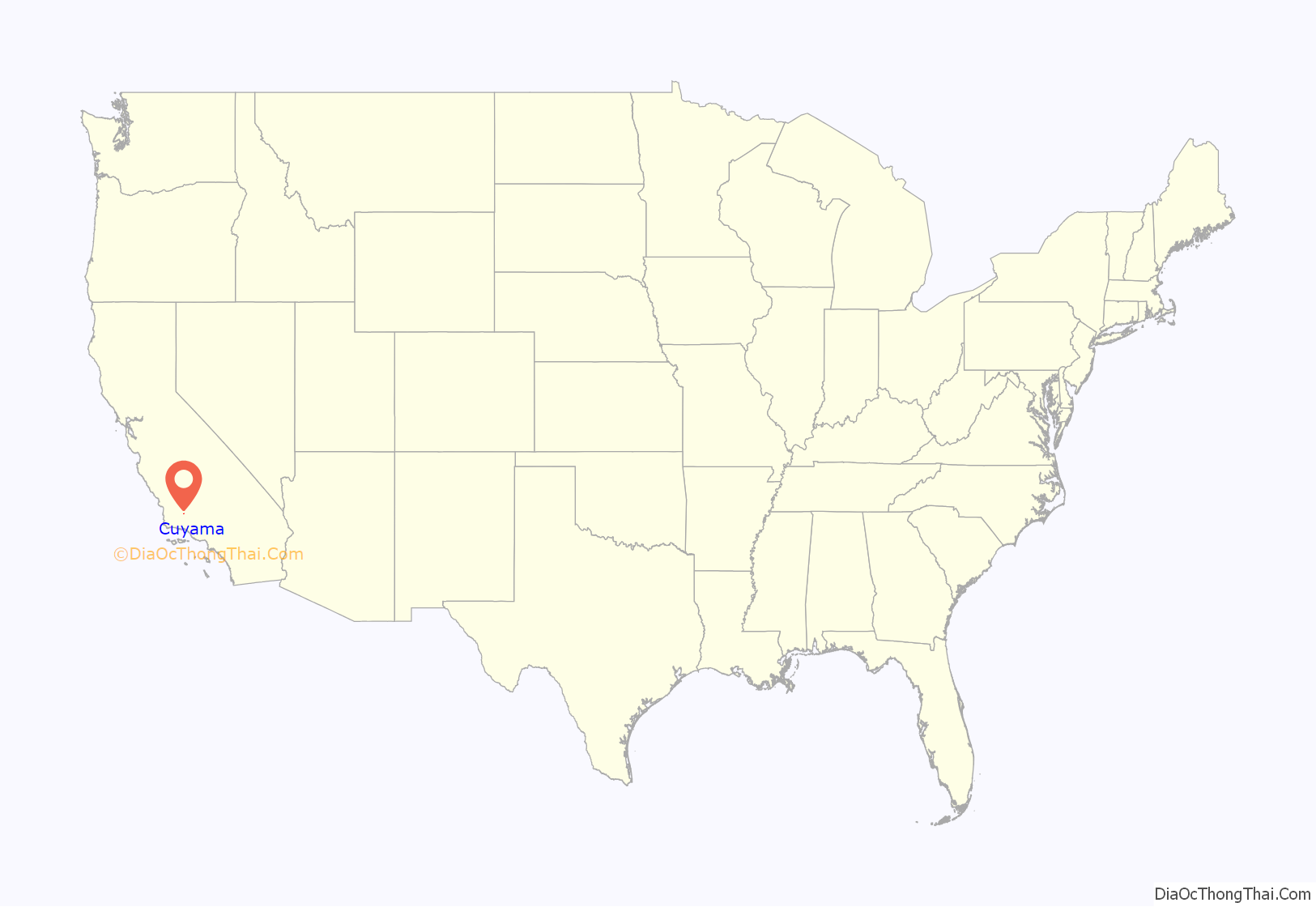
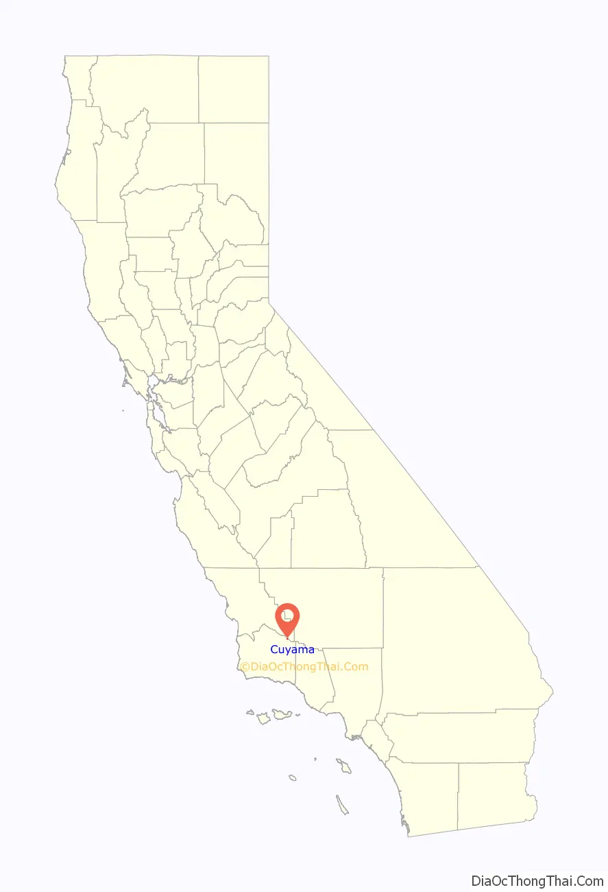
Cuyama location map. Where is Cuyama CDP?
History
Rancho Cuyama, which consisted of 22,200 acres, was granted to Jose Maria Rojo in 1843. In 1943, Richfield Oil Company started oil exploration in the area, followed by the Norris Oil Company five years later. In 1952, Atlantic Richfield established New Cuyama four miles west of Cuyama to house its employees.
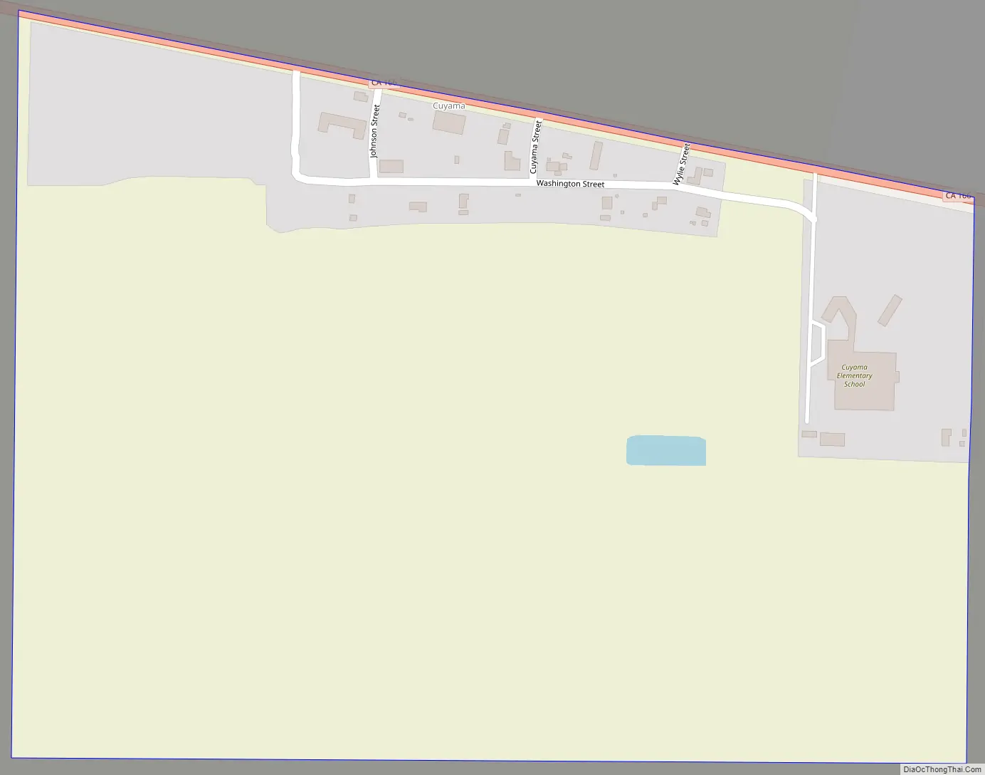
Cuyama Road Map
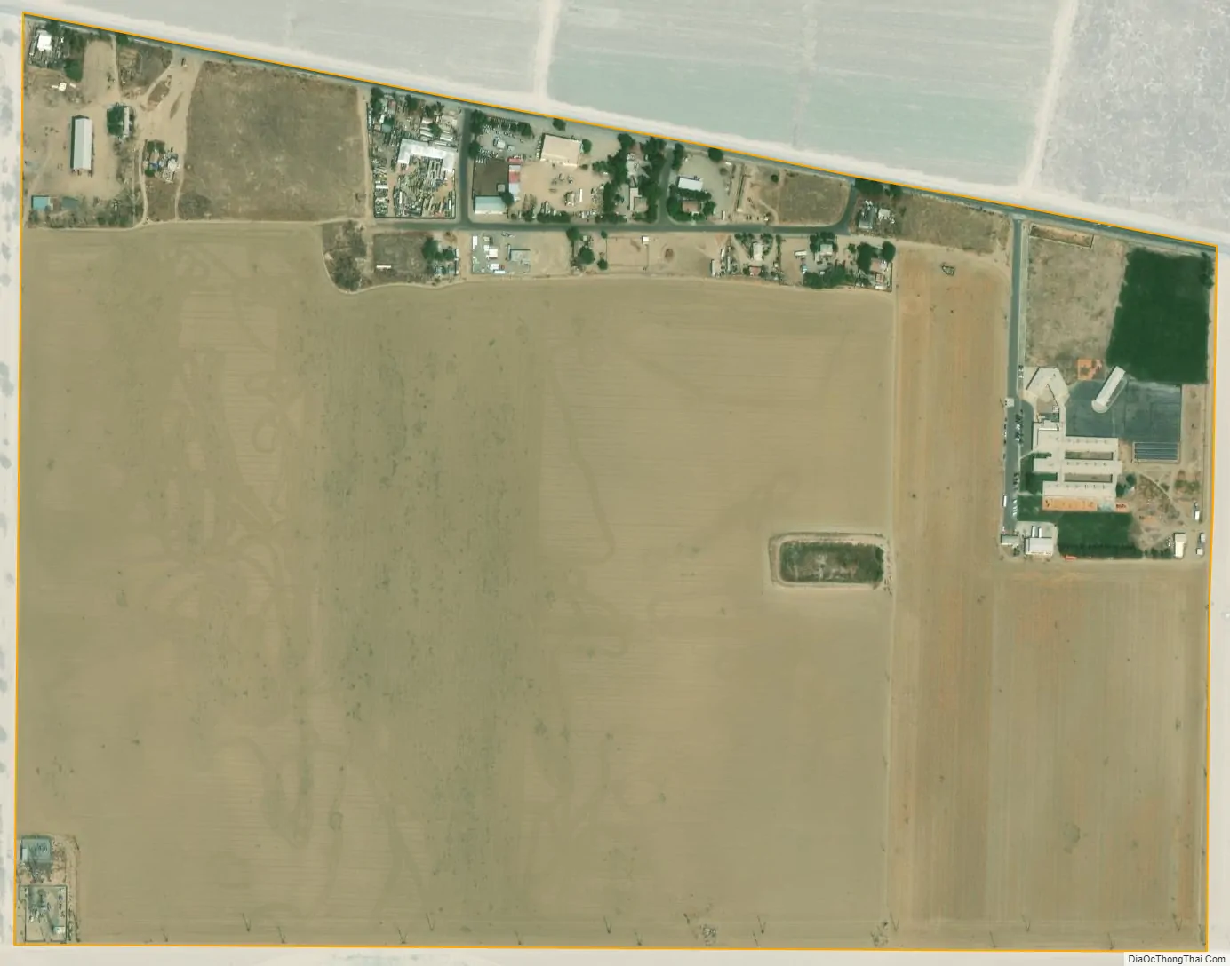
Cuyama city Satellite Map
Geography
According to the United States Census Bureau, the CDP covers an area of 0.5 square miles (1.2 km), 99.04% of it land, and 0.96% of it water.
Climate
This region experiences hot and dry summers, with the warmest month having a daily mean of 75 °F (24 °C). According to the Köppen Climate Classification system, Cuyama has a warm-summer Mediterranean climate, abbreviated “Csa” on climate maps.
See also
Map of California State and its subdivision:- Alameda
- Alpine
- Amador
- Butte
- Calaveras
- Colusa
- Contra Costa
- Del Norte
- El Dorado
- Fresno
- Glenn
- Humboldt
- Imperial
- Inyo
- Kern
- Kings
- Lake
- Lassen
- Los Angeles
- Madera
- Marin
- Mariposa
- Mendocino
- Merced
- Modoc
- Mono
- Monterey
- Napa
- Nevada
- Orange
- Placer
- Plumas
- Riverside
- Sacramento
- San Benito
- San Bernardino
- San Diego
- San Francisco
- San Joaquin
- San Luis Obispo
- San Mateo
- Santa Barbara
- Santa Clara
- Santa Cruz
- Shasta
- Sierra
- Siskiyou
- Solano
- Sonoma
- Stanislaus
- Sutter
- Tehama
- Trinity
- Tulare
- Tuolumne
- Ventura
- Yolo
- Yuba
- Alabama
- Alaska
- Arizona
- Arkansas
- California
- Colorado
- Connecticut
- Delaware
- District of Columbia
- Florida
- Georgia
- Hawaii
- Idaho
- Illinois
- Indiana
- Iowa
- Kansas
- Kentucky
- Louisiana
- Maine
- Maryland
- Massachusetts
- Michigan
- Minnesota
- Mississippi
- Missouri
- Montana
- Nebraska
- Nevada
- New Hampshire
- New Jersey
- New Mexico
- New York
- North Carolina
- North Dakota
- Ohio
- Oklahoma
- Oregon
- Pennsylvania
- Rhode Island
- South Carolina
- South Dakota
- Tennessee
- Texas
- Utah
- Vermont
- Virginia
- Washington
- West Virginia
- Wisconsin
- Wyoming


