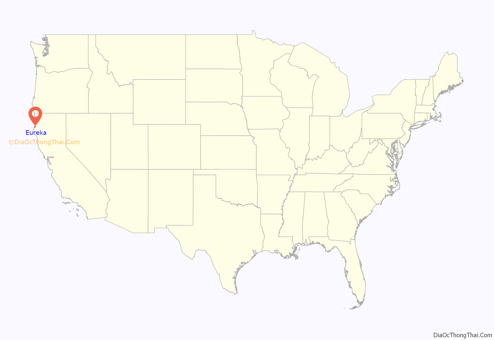
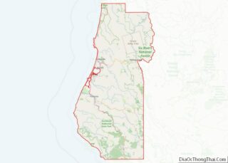
Eureka (Wiyot: Jaroujiji, Hupa: do’-wi-lotl-ding, Karuk: uuth) is the principal city and county seat of Humboldt County in the Redwood Empire region of California. The city is located on U.S. Route 101 on the shores of Humboldt Bay, 270 miles (435 km) north of San Francisco and 100 miles (161 km) south of the Oregon border. At the 2010 census, the population of the city was 27,191, and the population of Greater Eureka was 45,034.
Eureka is the largest coastal city between San Francisco and Portland, Oregon, and the westernmost city of more than 25,000 residents in the 48 contiguous states. The proximity to the sea causes the city to have an extremely maritime climate with very small annual temperature differences and seasons mainly being defined by the rainy winters and dry summers, whereas nearby inland areas are much hotter in summer. It is the regional center for government, health care, trade, and the arts on the North Coast north of the San Francisco Bay Area. Greater Eureka, one of California’s major commercial fishing ports, is the location of the largest deep-water port between San Francisco and Coos Bay, a stretch of about 500 miles (805 km).
The headquarters of both the Six Rivers National Forest and the North Coast Redwoods District of the California State Parks System are in Eureka. As entrepôt for hundreds of lumber mills that once existed in the area, the city played a leading role in the historic West Coast lumber trade. The entire city is a state historic landmark, which has hundreds of significant Victorian homes, including the nationally recognized Carson Mansion, and the city has retained its original 19th-century commercial core as a nationally recognized Old Town Historic District. Eureka is home to California’s oldest zoo, the Sequoia Park Zoo.
| Name: | Eureka city |
|---|---|
| LSAD Code: | 25 |
| LSAD Description: | city (suffix) |
| State: | California |
| County: | Humboldt County |
| Founded: | May 13, 1850 |
| Elevation: | 39 ft (12 m) |
| Land Area: | 9.38 sq mi (24.30 km²) |
| Water Area: | 5.07 sq mi (13.13 km²) 35.07% |
| Population Density: | 2,846.33/sq mi (1,098.96/km²) |
| Area code: | 707 |
| FIPS code: | 0623042 |
| Website: | www.ci.eureka.ca.gov |
Online Interactive Map
Click on ![]() to view map in "full screen" mode.
to view map in "full screen" mode.
Eureka location map. Where is Eureka city?
History
Eureka’s Pacific coastal location on Humboldt Bay, adjacent to abundant redwood forests, provided the reason for settlement of this 19th-century seaport town. Before the arrival of Euro-American settlers, including farmers, miners, fishermen, and loggers, the area was home to Native Americans.
Native Americans
The Wiyot people lived in Jaroujiji (Wiyot: “where you sit and rest”), now known as Eureka, for thousands of years before European arrival. Their traditional coastal homeland ranged from the lower Mad River through Humboldt Bay and south along the lower basin of the Eel River. The Wiyot are particularly known for their basketry and fishery management. An extensive collection of intricate basketry of the area’s indigenous groups exists in the Clarke Historical Museum in Old Town Eureka.
As of 2013, Eureka High School has the largest Yurok language program in California.
The Wiyot and Yurok are the westernmost peoples to speak Algic languages.
Founding on Humboldt Bay
For nearly 300 years after 1579, European exploration of the coast of what would become northern California repeatedly missed definitively locating Humboldt Bay because of a combination of geographic features and weather conditions which concealed the narrow bay entrance from view. Despite a well-documented 1806 sighting by Russian explorers, the bay was not definitively known by Europeans until an 1849 overland exploration provided a reliable accounting of the exact location of what is the second-largest bay in California. The timing of this discovery led to the May 13, 1850, founding of the settlement of Eureka on its shore by the Union and Mendocino Exploring (development) companies.
Gold Rush era
After the primary California Gold Rush in the Sierras, Humboldt Bay was settled with the intent of providing a convenient alternative to the long overland route from Sacramento to supply miners on the Trinity, Klamath and Salmon Rivers where gold had been discovered. Though the ideal location on Humboldt Bay adjacent to naturally deeper shipping channels ultimately guaranteed Eureka’s development as the primary city on the bay, Arcata‘s proximity to developing supply lines to inland gold mines ensured supremacy over Eureka through 1856.
“Eureka” received its name from a Greek word meaning “I have found it!” This exuberant statement of successful (or hopeful) gold rush miners is also the official motto of the State of California. Eureka is the only U.S. location to use the same seal as the state for its seal.
Wiyot Massacre
The first Europeans venturing into Humboldt Bay encountered the indigenous Wiyot. After 1850, Americans ultimately overwhelmed the Wiyot, whose maximum population before the Europeans’ arrival numbered in the hundreds in the area of what would become the county’s primary city. But in almost every case, settlers ultimately cut off access to ancestral sources of food in addition to the outright theft of land, despite the efforts of some U.S. government and military officials to assist the native peoples or at least maintain peace. Fort Humboldt was established by the U.S. Army on January 30, 1853, as a buffer between Native Americans, gold-seekers and settlers, commanded by Brevet Lieutenant Colonel Robert C. Buchanan of the U.S. 4th Infantry Regiment. The 1860 Wiyot Massacre took place on Indian Island in the spring of 1860, committed by a group of locals thought to be composed primarily of Eureka businessmen. (The male Wiyot tribal members had left the island during their annual New Year ritual and the vigilantes killed as many as 250 children, women, and elderly tribal members) Major Gabriel J. Rains, Commanding Officer of Fort Humboldt at the time, reported to his commanding officer that a local group of vigilantes had resolved to “kill every peaceable Indian – man, woman, and child.”
Lumber industry
Eureka’s first post office opened in 1853 just as the town began to carve its grid plan into the edge of a forest it would ultimately consume to feed the building of San Francisco and points beyond. Many of the first immigrants who arrived as prospectors were also lumbermen, and the vast potential for industry on the bay was soon realized, especially as many hopeful gold miners realized the difficulty and infrequency of striking it rich in the mines. By 1854, after only four years since the founding, seven of nine mills processing timber into marketable lumber on Humboldt Bay were within Eureka. A year later, 140 lumber schooners operated in and out of Humboldt Bay moving lumber from the mills to booming cities along the Pacific coast. By the time the charter for Eureka was granted in 1856, busy mills inside the city had a daily production capacity of 220,000 board feet. This level of production, which would grow significantly and continue for more than a century, secured Eureka as the “timber capital” of California. Eureka was at the apex of rapid growth of the lumber industry because of its location between huge coast redwood forests and its control of the primary port facilities. Loggers brought the enormous redwood trees down. Dozens of movable narrow gauge railroads brought trainloads of logs and finished lumber products to the main rail line, which led directly to Eureka’s wharf and waiting schooners. By the 1880s, railroads eventually brought the production of hundreds of mills throughout the region to Eureka, primarily for shipment through its port. After the early 1900s, shipment of products occurred by trucks, trains, and ships from Eureka, Humboldt Bay, and other points in the region, but Eureka remained the busy center of all this activity for over 120 years. These factors and others made Eureka a significant city in early California state history.
Commercial center
A bustling commercial district with ornate Victorian-style buildings rose in proximity to the waterfront, reflecting the great prosperity experienced during this era. Hundreds of these Victorian homes remain today, of which many are totally restored and a few have always remained in their original elegance and splendor. The representation of these homes in Eureka, grouped with those in nearby Arcata and the Victorian village of Ferndale, are of considerable importance to the overall development of Victorian architecture built in the nation. The magnificent Carson Mansion on 2nd and M Streets, is perhaps the most spectacular Victorian in the nation. The home was built between 1884 and 1886 by renowned 19th-century architects Newsom and Newsom for lumber baron William M. Carson. This project was designed to keep mill workers and expert craftsman busy during a slow period in the industry. Old Town Eureka, the original downtown center of this busy city in the 19th century, has been restored and has become a lively arts center. The Old Town area has been declared an Historic District by the National Register of Historic Places. The district is made up of over 150 buildings, which in total represents much of Eureka’s original 19th-century core commercial center. This nexus of culture behind the redwood curtain still contains much of its Victorian architecture, which, if not maintained for original use as commercial buildings or homes, have been transformed into scores of unique lodgings, restaurants, and small shops featuring a burgeoning cottage industry of hand-made creations, from glassware to wood-burning stoves, and a large variety of locally created art.
Fishing, shipping, and boating
Eureka’s founding and livelihood was and remains linked to Humboldt Bay, the Pacific Ocean, and related industries, especially fishing. Salmon fisheries sprang up along the Eel River as early as 1851, and, within seven years, 2,000 barrels of cured fish and 50,000 pounds (23,000 kg) of smoked salmon were processed and shipped out of Humboldt Bay annually from processing plants on Eureka’s wharf. In 1858 the first of many ships built in Eureka was launched, beginning an industry that spanned scores of years. The bay is also the site of the West Coast’s largest oyster farming operations, which began its commercial status in the nineteenth century. Eureka is the home port to more than 100 fishing vessels (with an all-time high of over 400 in 1981) in two modern marinas which can berth approximately 400 boats within the city limits and at least 50 more in nearby Fields Landing, which is part of Greater Eureka. Area catches historically include, among other species, salmon, tuna, Dungeness crab, and shrimp, with historic annual total fishing landings totaling about 36,000,000 pounds (16,000,000 kg) in 1981.
Chinese expulsion
Racist views of Chinese immigrants in the late 19th century led to violent attacks on them by White settlers across the West, both before and after the Chinese Exclusion Act. Economic downturns resulting in competition for jobs fed sinophobia and violent actions against Chinese immigrants, especially on the Pacific coast. In February 1885, Eureka City Councilman David Kendall was caught in the crossfire of two rival Chinese gangs and killed. A group of 600 White vigilantes forcibly and permanently evicted all 480 Chinese residents of Eureka’s Chinatown.[1]
Among those who guarded the city jail during the height of the sinophobic tension was James Gillett, who went on to become Governor of California. The anti-Chinese ordinance was repealed in 1959.
Queen City of the Ultimate West
Completion of the Northwestern Pacific Railroad in 1914 provided the local lumber industry with an alternative to ships for transport of its millions of board feet of lumber to reach markets in San Francisco and beyond. It also provided the first safe land route between San Francisco and Eureka for people to venture to the Redwood Empire. As a result, Eureka’s population of 7,300 swelled to 15,000 within ten years. By 1922, the Redwood Highway was completed, providing for the first reliable, direct overland route for automobiles from San Francisco. By 1931, the Eureka Street Railway operated fifteen streetcars over twelve miles (19 km) of track. Eureka’s transportation connection to the “outside” world had changed dramatically after more than half a century of stage rides or treacherous steamship passage through the Humboldt Bar and on the Pacific Ocean to San Francisco. The building of the Eureka Inn coincided with the opening of the new road to San Francisco. As a result of immense civic pride during this early-20th-century era of expansion, Eureka officially nicknamed itself “Queen City of the Ultimate West.” The tourism industry, lodging to support it, and related marketing had been born.
Post–World War II
The timber economy of Eureka is part of the Pacific Northwest timber economy which rises and falls with boom-and-bust economic times. In Eureka, both the timber industry and commercial fishing declined after the Second World War.
The Columbus Day Storm of 1962 downed trees and caused a surplus in the domestic timber market, which caused increased shipping to foreign markets. The log trade with Japan and other Pacific Rim nations increased. Despite many rumors to the contrary, little of this wood returned to U.S. markets. In 1989, the U.S. changed log export laws, permitting lower-cost timber from public lands to be exported as raw logs overseas to help balance the federal budget.
After 1990, the global log market declined, and exports fell at the same time as Pacific Northwest log prices increased; leading buyers to seek less expensive logs from Canada and the southern United States. However, debate continues among four stakeholders: timber owners, domestic processors, consumers and communities, on the impact of log export on the local economy. During the span 1991 to 2001, timber harvest peaked in 1997. The local timber market was also affected by the Pacific Lumber Company hostile takeover and ultimate bankruptcy.
Local fisheries expanded through the 1970s and early 1980s. During the 1970s, Eureka fishermen landed more than half of the fish and shellfish produced and consumed in California. In 2010 between 100 and 120 commercial fishing vessels listed Eureka as homeport. The highest landings of all species were 36.9 million pounds (16.7 million kg) in 1981 while the lowest were in 2001 with 9.4 million pounds (4.3 million kg).
After 1990 regulatory, economic, and other events led to a contraction of the local commercial fleet. In 1991, the Woodley Island marina opened, providing docking facilities for much of Eureka’s commercial and recreational fleet. Many species are considered to be overfished. Recreational fishing has increased over time. Fifty percent of recreational fishermen using local boats are tourists from outside the area.
Commercial Pacific oyster aquaculture in Humboldt Bay produced an average of 7,600,000 pounds (3,400,000 kg) of oysters from 1956 to 1965 an average of 844,444 pounds (383,033 kg) per year. In 2004, only 600,000 pounds (270,000 kg) were harvested. Oysters and oyster seed continue to be exported from Humboldt Bay. The value of the oysters and spawn is more than $6 million per year. Consolidation of buyers and landing facilities resulted in local vulnerability to unexpected events, leading the city to obtain grant funding for and complete the Fishermen’s Terminal on the waterfront which will provide fish handling, marketing, and public spaces.
Significant earthquakes
The area regularly experiences large earthquakes as it is situated on the southern end the Cascadia subduction zone and near the San Andreas Fault, which interface around the Mendocino Triple Junction. On January 9, 2010, a 6.5 magnitude earthquake occurred about 33 miles (53 km) off shore from Eureka. After two seconds, it became a violent “jumper”, making objects fly; the mostly vertical shocks from the ground led to broken windows in shops, overturned shelving in homes and stores, and damage to architectural detail on a number of historic buildings. Local hospitals treated mostly minor related injuries, and electrical power was out over a large area. Numerous natural gas leaks occurred, but no fires resulted. This was the largest recent earthquake since the April 25–26, 1992 sequence. It was followed on February 4, 2010, by a magnitude 5.9 earthquake which struck about 35 miles (56 km) northwest of the community of Petrolia and nearly 50 miles (80 km) west of Eureka. The shaking was felt within a 150-mile (240 km) radius, as far north as southern Oregon and as far south as Sonoma County. The largest recorded in the area was the 7.2 Mw event on November 8, 1980. The larger earthquakes can pose a tsunami threat to coastal areas.
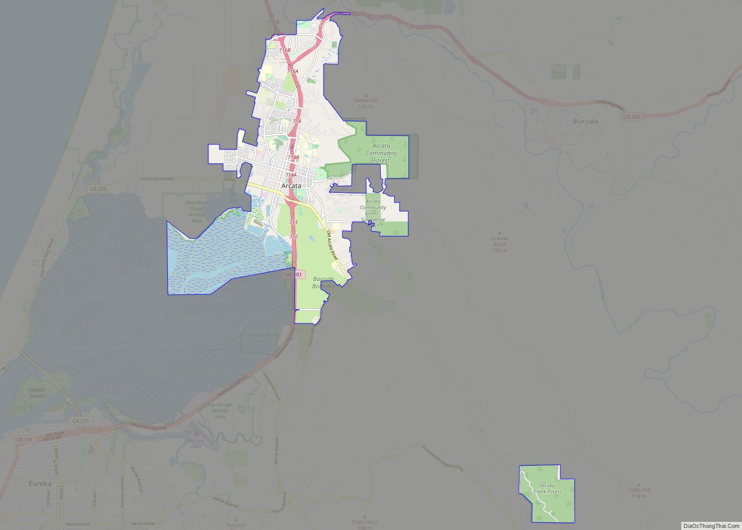
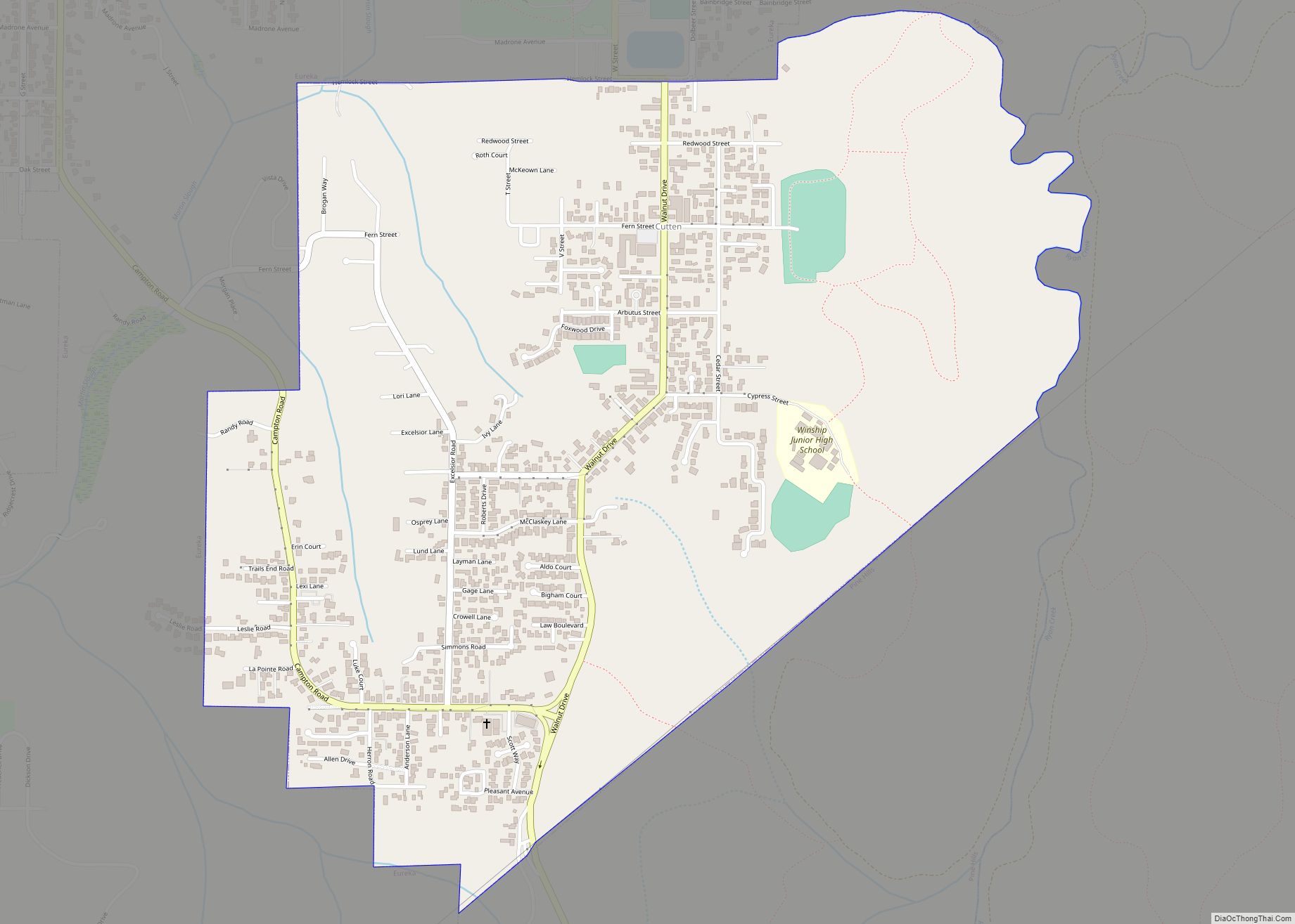
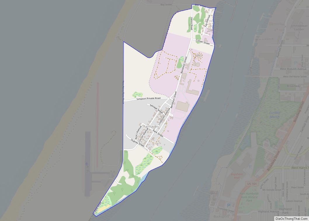
Eureka Road Map
Eureka city Satellite Map
Geography
According to the United States Census Bureau, the city has a total area of 14.5 square miles (38 km), of which 9.4 square miles (24 km) is land and 5.1 square miles (13 km) or 35.07% is water.
Eureka is situated within California’s Redwood Empire region which includes Pacific Ocean coast, Humboldt Bay, and several rivers in addition to Redwood National and State Parks and Humboldt Redwoods State Park. The location of Eureka on U.S. 101 is 283 miles (455 km) north of San Francisco and 315 mi (507 km) northwest of Sacramento.
The city marina is on one of three islands at a narrow point on the 13-mile-long (21 km) bay and increases in elevation slightly as it spreads north, south, and especially to the east. The city gently encroaches at least two miles (3.2 km) eastward into primarily Redwood and Douglas-fir second growth forests. The city has a traditional grid that generally radiates toward the points of the compass. Most post-1970 houses were built in formerly clear cut forested areas.
The transition between the official city limits and smaller unincorporated areas is mostly not discernible. Eastern areas including secluded developments on a golf course among or in close proximity to extensive second-growth forest have more recently developed. These new houses were built as a result of the Eureka Community Plan of 1995 in attempt to bring locals close to centers of recreation and encourage community interaction. The city then gives way to hills and mountains of the rugged coast range, which quickly exceed 2,000 feet (610 m) in elevation.
Eureka is more or less on the same latitude as Atlantic cities New York City and Porto in Portugal along with the Mediterranean city of Naples in Italy, all of whom have much warmer summers in spite of also being on coastlines.
Climate
Eureka enjoys a mild, temperate cool-summer mediterranean climate (Köppen climate classification: Csb). Due to the influence of the Pacific Ocean and being on the shoreline of the cold-water Humboldt Bay, its temperatures are cooler than those of a typical mediterranean climate. Winters are mild and rainy, and summers are mild, cool, and dry. The average high in December, the coolest month, is 55.0 °F (12.8 °C), while the average high temperature in August, the warmest month, is 64.3 °F (17.9 °C), which is very cool and mild for an area at such a southerly latitude. Eureka’s average summer temperatures are much cooler than New York City and Istanbul which lie on the same latitude (and its average winter temperatures are also milder than those two cities); and are similar to those of Southeast Alaska, Scotland or Tierra del Fuego in southern Argentina and Chile, which lie well above the 50th parallel.
The seasonal temperature variation is very small; the difference between the August average of 58.5 °F (14.7 °C) and the December average of 47.8 °F (8.8 °C) is only 10.7 °F (5.9 °C), about equal to the diurnal temperature variation. Eureka is unique among mid-latitude climates in the northern hemisphere in that in more than 135 years of recorded temperatures, February has measured a warmer absolute maximum temperature than both the two high summer months of July and August. The absolute maximum temperature of July is merely 77 °F (25 °C) in spite of the high sun strength. The two warmest nights measured in Eureka were both during winter, as 18 January 1981 recorded a low of 63 °F (17 °C), tying a 26 February 1980 record.
In addition, Eureka has a very short and milder range of temperatures compared to most of the contiguous US, with the all-time highest and lowest temperatures recorded in Eureka being only 87 °F (30.6 °C) on October 26, 1993, September 2, 2017, and September 28, 2020, and 20 °F (−6.7 °C) on January 14, 1888, respectively. On average, the highest temperature seen throughout the entire year is only 79 °F (26.1 °C), one of the mildest in the contiguous US, while on average the lowest temperature seen in the year (most often occurring at night) is only a similarly moderate 29 °F (−1.7 °C), yielding a very short and mild temperature range of about 50 °F (28 °C) throughout the year. Additionally, Eureka remains the only city on the West Coast of the continental United States to have never recorded a temperature of 90 °F (32.2 °C).
Temperatures drop to freezing or below only on a few nights per year, and daytime temperatures for these days are typically mild temperatures ranging between 43–58 °F (6.1–14.4 °C). Eureka has never recorded an ice day, with the coldest daytime maximum being 34 °F (1 °C) in 1990. Between 1991 and 2020, the coldest daytime high of the year was 45 °F (7 °C) and the warmest night averaged 59 °F (15 °C). NOAA’s weather station averages indicate only 0.18 in (4.6 mm) of rainfall in July, which is well within the mediterranean range, only with rainier winters, cooler and milder air than a typical mediterranean climate. Winter temperatures instead are similar to many climates found in Southern Europe from which basin the climate type is named.
The area experiences coastal fog throughout the year, especially during summer on the coast when temperatures in the city remain consistently around a mild 64 °F (17.8 °C). This phenomenon, together with cool breezes from the Pacific Ocean, keeps Eureka relatively cool and mild, while contrasting with inland areas in relative proximity to Humboldt Bay, which are prone to extreme temperatures that often exceed 100 °F (37.8 °C). This causes frequent temperature differences between Eureka and nearby inland areas during summer and early fall of 30 to 40 °F (17 to 22 °C). Despite the common coastal fog, Eureka enjoys on average about 55% possible sunshine per year, about on par with cities such as Calgary, Portland, New York City and Chicago.
Annual precipitation averages 40.3 in or 1,024 mm. Measurable precipitation falls on an average of 127.5 days each year, concentrated heavily from October to April. On average, December is the wettest month, averaging over 8 in (203.2 mm) of precipitation, virtually all of it rain. The wettest “rain year” was from July 1889 to June 1890 with 73.30 in (1,861.8 mm) and the driest from July 1976 to June 1977 with 17.56 in (446.0 mm). The greatest monthly precipitation was 23.21 in (589.5 mm) in December 2002. The greatest 24-hour precipitation was 6.79 in (172.5 mm) on December 27, 2002. However, historic 100-year dramatic weather events such as the Christmas Week flood of 1955 and, especially, the Christmas flood of 1964, which severely damaged the region, may not be reflected in records listed herein. Snowfall on the coast happens only on rare occasions, averaging 0.2 in or 0.51 cm as of the 1981–2010 normals, but only five years during that period received measurable snowfall. The most snowfall in one month was 6.9 in or 18 cm in January 1907.
See or edit raw graph data.
See also
Map of California State and its subdivision:- Alameda
- Alpine
- Amador
- Butte
- Calaveras
- Colusa
- Contra Costa
- Del Norte
- El Dorado
- Fresno
- Glenn
- Humboldt
- Imperial
- Inyo
- Kern
- Kings
- Lake
- Lassen
- Los Angeles
- Madera
- Marin
- Mariposa
- Mendocino
- Merced
- Modoc
- Mono
- Monterey
- Napa
- Nevada
- Orange
- Placer
- Plumas
- Riverside
- Sacramento
- San Benito
- San Bernardino
- San Diego
- San Francisco
- San Joaquin
- San Luis Obispo
- San Mateo
- Santa Barbara
- Santa Clara
- Santa Cruz
- Shasta
- Sierra
- Siskiyou
- Solano
- Sonoma
- Stanislaus
- Sutter
- Tehama
- Trinity
- Tulare
- Tuolumne
- Ventura
- Yolo
- Yuba
- Alabama
- Alaska
- Arizona
- Arkansas
- California
- Colorado
- Connecticut
- Delaware
- District of Columbia
- Florida
- Georgia
- Hawaii
- Idaho
- Illinois
- Indiana
- Iowa
- Kansas
- Kentucky
- Louisiana
- Maine
- Maryland
- Massachusetts
- Michigan
- Minnesota
- Mississippi
- Missouri
- Montana
- Nebraska
- Nevada
- New Hampshire
- New Jersey
- New Mexico
- New York
- North Carolina
- North Dakota
- Ohio
- Oklahoma
- Oregon
- Pennsylvania
- Rhode Island
- South Carolina
- South Dakota
- Tennessee
- Texas
- Utah
- Vermont
- Virginia
- Washington
- West Virginia
- Wisconsin
- Wyoming
