Rosemead is a city in Los Angeles County, California, United States. As of the 2021 census, it had a population of 50,245, currently dropping. Rosemead is part of a cluster of cities, along with Alhambra, Arcadia, Temple City, Monterey Park, San Marino, and San Gabriel, in the west San Gabriel Valley with a growing Asian-American population.
| Name: | Rosemead city |
|---|---|
| LSAD Code: | 25 |
| LSAD Description: | city (suffix) |
| State: | California |
| County: | Los Angeles County |
| Incorporated: | August 4, 1959 |
| Elevation: | 318 ft (97 m) |
| Total Area: | 5.18 sq mi (13.40 km²) |
| Land Area: | 5.16 sq mi (13.37 km²) |
| Water Area: | 0.01 sq mi (0.04 km²) 0.26% |
| Total Population: | 53,764 |
| Population Density: | 10,472.30/sq mi (4,043.41/km²) |
| Area code: | 323/626 |
| FIPS code: | 0662896 |
| Website: | www.cityofrosemead.org |
Online Interactive Map
Click on ![]() to view map in "full screen" mode.
to view map in "full screen" mode.
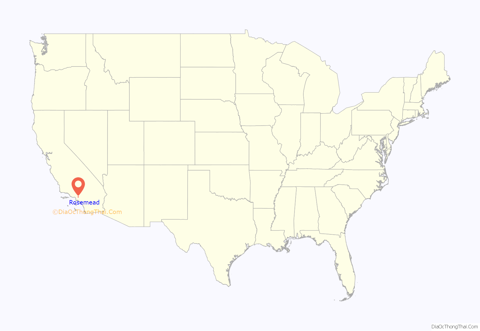
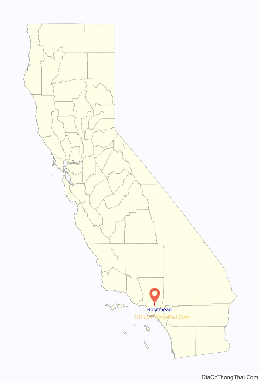
Rosemead location map. Where is Rosemead city?
History
Prior to the arrival of the Spanish, the area around Rosemead was populated by Native Americans known as the people of the willow houses or better known as the Kizh (pronounced Keech), alternatively Tongva or as the Spaniards renamed them, the Gabrieleños. In 1771, the Spanish founded the first Mission San Gabriel Arcángel in the area that was formally known as the village of Shevaangna or Siba what is [first Angeleno William McCawley 1996] now known as La Mision Veija or Whittier Narrows on the border between Montebello and Rosemead. In 1775, the mission moved to avoid the spring floods that ruined the first crops, to its present location in San Gabriel formally known as the village of Tovisvanga .
During the Spanish Colonial era, the area that is now the City of Rosemead was part of the land administered by the San Gabriel Mission. As part of the Mexican government’s Secularization Act of 1833, the land, formerly held by the Mission, was distributed to private citizens, requiring only that they build a house and graze cattle, bringing to an end the Mission Era Following the Mexican–American War and the 1848 signing of the Treaty of Guadalupe which transferred sovereignty over the territory now known as the State of California to the United States, Anglo-American immigration began to flow to the area. The southern part of Rosemead was part of Rancho Potrero Grande (Large Pasture) which was originally granted to a Native American man named Manuel Antonio, who was a “mayordomo” (overseer) at the San Gabriel Mission. The 4,431-acre (18 km) ranch was later transferred to Juan Matias Sánchez.
In 1852, John and Harriet Guess moved cross-country in an ox drawn wagon, to the San Gabriel Valley from Conway County, Arkansas. In 1855, the couple camped where present-day Savannah Elementary School is located on Rio Hondo Avenue. They rented the land until 1867, when John Guess purchased 100 acres (0.4 km) of a 1,164-acre (5 km) ranch and named it Savannah. The land stretched from Valley Boulevard to Marshall Street, and from Rosemead Boulevard to the Eaton Wash.
Other pioneers, Frank Forst and Leonard John Rose, also settled in this valley. Rose and his wife Amanda bought about 600 acres (2.4 km) of land between what is now Rosemead Boulevard and Walnut Grove Avenue. Rose bred and trained horses for a living. He named his ranch “Rose’s Meadow” which was eventually shortened to Rosemeade and gave the city its name. Rosemeade was once again shortened to Rosemead. The peaceful, pastoral community flourished with small truck farms and rabbit and chicken farms. Settlers moved in and also raised vegetables, fruits, grain and feed for the animals. It wasn’t until August 4, 1959, the citizens elected to incorporate Rosemead into a city.
Rosemead Airport
Rosemead Airport is one of the vanished former airports which once were spread all throughout the Los Angeles metropolitan area. Western Air College operated the airport. The airport at this location in Rosemead was apparently built at some point between 1940 and 1942, as it was not depicted on a 1940 LA street map. The earliest depiction of this airport was on a 1942 street map, which labeled the field as the Western Air College Airport. At some point between 1942 and 1944 the airport was renamed Rosemead, as that is how it was labeled on the 1944 LA Sectional Aeronautical Chart (courtesy of John Voss). A flying school was also operated at Rosemead Airport.
Fletcher Aviation acquired the airport from the Heasley brothers during the Korean War and later sold to AJ Industries in the 1960s, AJ immediately sold the portion of the land from Rio Hondo Avenue almost to Rosemead Boulevard to AeroJet Corporation and they built a large facility there. It was named Flair Park and the roadway that parallels I-10 was named Flair Drive.
Rosemead Road Map

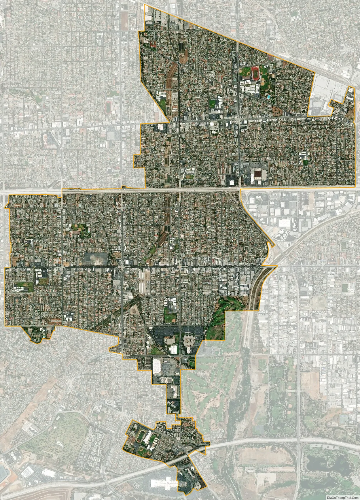
Rosemead city Satellite Map
Geography
Rosemead is located at 34°4′N 118°5′W / 34.067°N 118.083°W / 34.067; -118.083 (34.070, -118.082).
According to the United States Census Bureau, the city has a total area of 5.2 square miles (13 km). 5.2 square miles (13 km) of it is land and 0.19% is water.
The city is bordered to the north by San Gabriel and Temple City, to the east by El Monte, and South El Monte, to the south by the unincorporated area of South San Gabriel and Montebello and to the west by San Gabriel and Monterey Park.
See also
Map of California State and its subdivision:- Alameda
- Alpine
- Amador
- Butte
- Calaveras
- Colusa
- Contra Costa
- Del Norte
- El Dorado
- Fresno
- Glenn
- Humboldt
- Imperial
- Inyo
- Kern
- Kings
- Lake
- Lassen
- Los Angeles
- Madera
- Marin
- Mariposa
- Mendocino
- Merced
- Modoc
- Mono
- Monterey
- Napa
- Nevada
- Orange
- Placer
- Plumas
- Riverside
- Sacramento
- San Benito
- San Bernardino
- San Diego
- San Francisco
- San Joaquin
- San Luis Obispo
- San Mateo
- Santa Barbara
- Santa Clara
- Santa Cruz
- Shasta
- Sierra
- Siskiyou
- Solano
- Sonoma
- Stanislaus
- Sutter
- Tehama
- Trinity
- Tulare
- Tuolumne
- Ventura
- Yolo
- Yuba
- Alabama
- Alaska
- Arizona
- Arkansas
- California
- Colorado
- Connecticut
- Delaware
- District of Columbia
- Florida
- Georgia
- Hawaii
- Idaho
- Illinois
- Indiana
- Iowa
- Kansas
- Kentucky
- Louisiana
- Maine
- Maryland
- Massachusetts
- Michigan
- Minnesota
- Mississippi
- Missouri
- Montana
- Nebraska
- Nevada
- New Hampshire
- New Jersey
- New Mexico
- New York
- North Carolina
- North Dakota
- Ohio
- Oklahoma
- Oregon
- Pennsylvania
- Rhode Island
- South Carolina
- South Dakota
- Tennessee
- Texas
- Utah
- Vermont
- Virginia
- Washington
- West Virginia
- Wisconsin
- Wyoming


