Rossmoor is a planned census-designated place located in Orange County, California. As of the 2020 census, the CDP had a total population of 10,625 up from the 2010 census population of 10,244. The gated Leisure World retirement community in the city of Seal Beach is to the south of Rossmoor, Los Alamitos is to the east and north, and Long Beach is to the west (on the other side of the San Gabriel River, the 605 freeway and the border with Los Angeles County). The community of Rossmoor has two shopping centers within its boundaries, but only one—the Rossmoor Village Square, is now within the political boundaries of Rossmoor. A larger shopping center, the Rossmoor Business Center, was annexed, despite many protests, by the City of Seal Beach in 1967. The Center has been remodeled several times and was renamed the Shops at Rossmoor in the early 2000s.
| Name: | Rossmoor CDP |
|---|---|
| LSAD Code: | 57 |
| LSAD Description: | CDP (suffix) |
| State: | California |
| County: | Orange County |
| Elevation: | 13 ft (4 m) |
| Total Area: | 1.538 sq mi (3.983 km²) |
| Land Area: | 1.538 sq mi (3.983 km²) |
| Water Area: | 0 sq mi (0 km²) 0% |
| Total Population: | 10,244 |
| Population Density: | 6,700/sq mi (2,600/km²) |
| ZIP code: | 90720 |
| Area code: | 562 |
| FIPS code: | 0663050 |
| GNISfeature ID: | 1661336 |
Online Interactive Map
Click on ![]() to view map in "full screen" mode.
to view map in "full screen" mode.
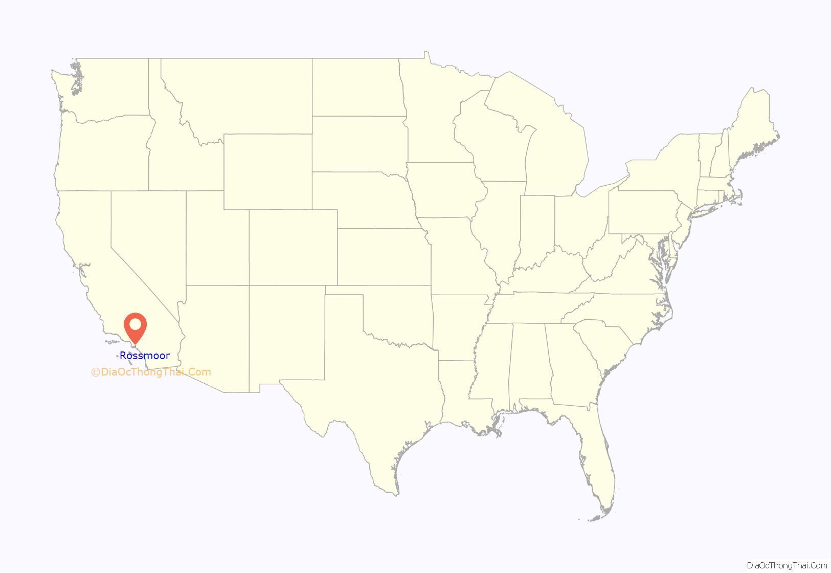
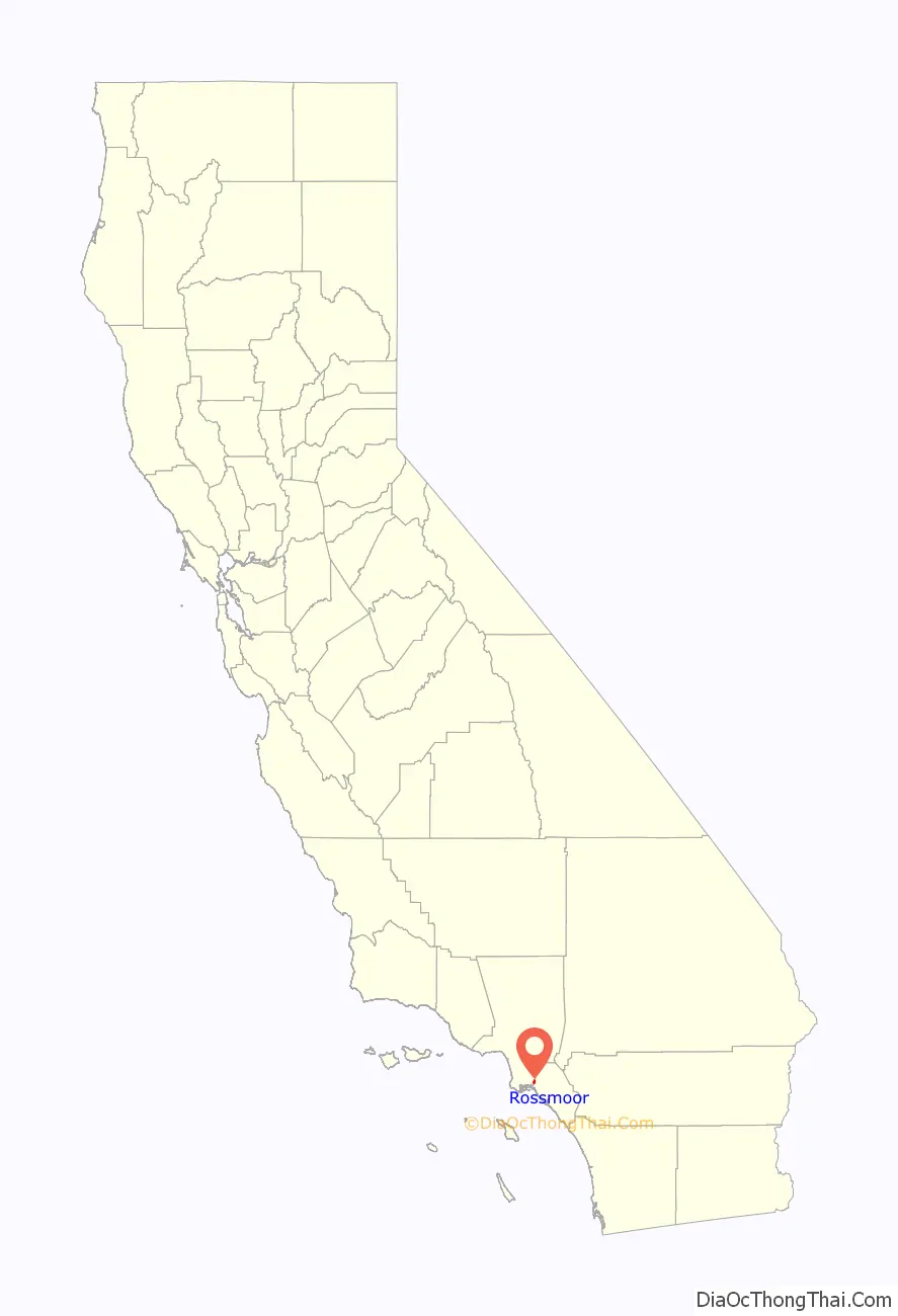
Rossmoor location map. Where is Rossmoor CDP?
History
The Rossmoor community was developed from 1955 through 1961 by Ross W. Cortese, who had earlier developed the architecturally-significant Lakewood Rancho Estates in Long Beach (1953) and the Frematic Homes (1954) in Anaheim, just north and west of Disneyland. Cortese’s original partners in securing the first large parcels of land that would become Rossmoor included California governor Goodwin Knight and Judge Alfred Gittelson, who had also partnered with him in the Lakewood Rancho Estates and the Frematic homes. (It was Gittelson who later agreed to annex his Rossmoor Shopping Center property to Seal Beach in the late 1960s.) After Rossmoor, Cortese would construct the first of his very successful Leisure World gated retirement community in that part of Seal Beach which is immediately south of Rossmoor. The Rossmoor community is easy to recognize because of its red brick “signature wall” that borders the entire unincorporated community. It is a signature of the Rossmoor community that differentiates it from neighboring cities Los Alamitos and Seal Beach.
There are 3,430 single family homes, 1 apartment complex (Accent Apartment Homes, originally Rossmoor Manor on Wallingsford Road), and 1 town house complex (Rossmoor Town Houses with addresses at 12100 Montecito Road or 3342 Bradbury Road) within Rossmoor.
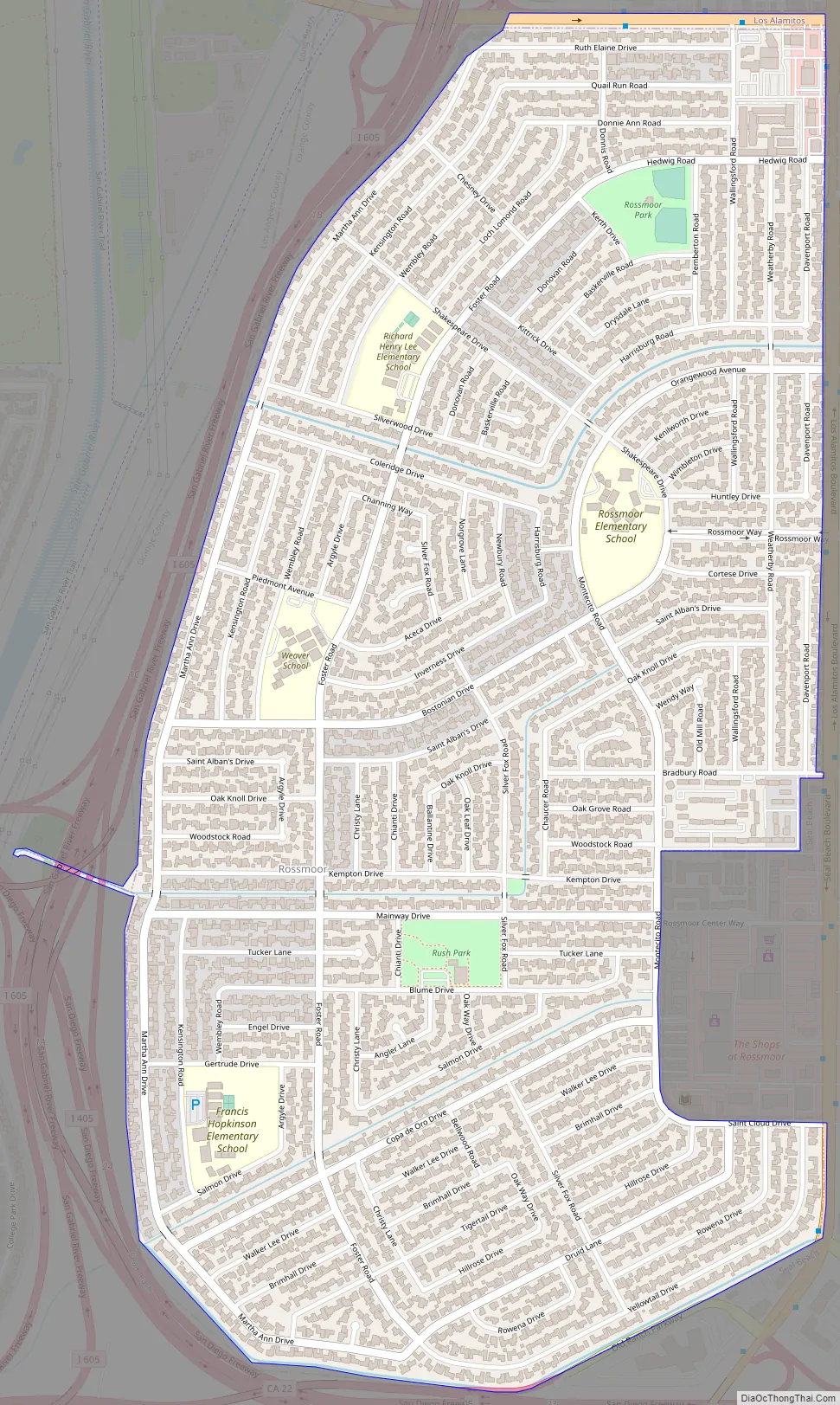
Rossmoor Road Map
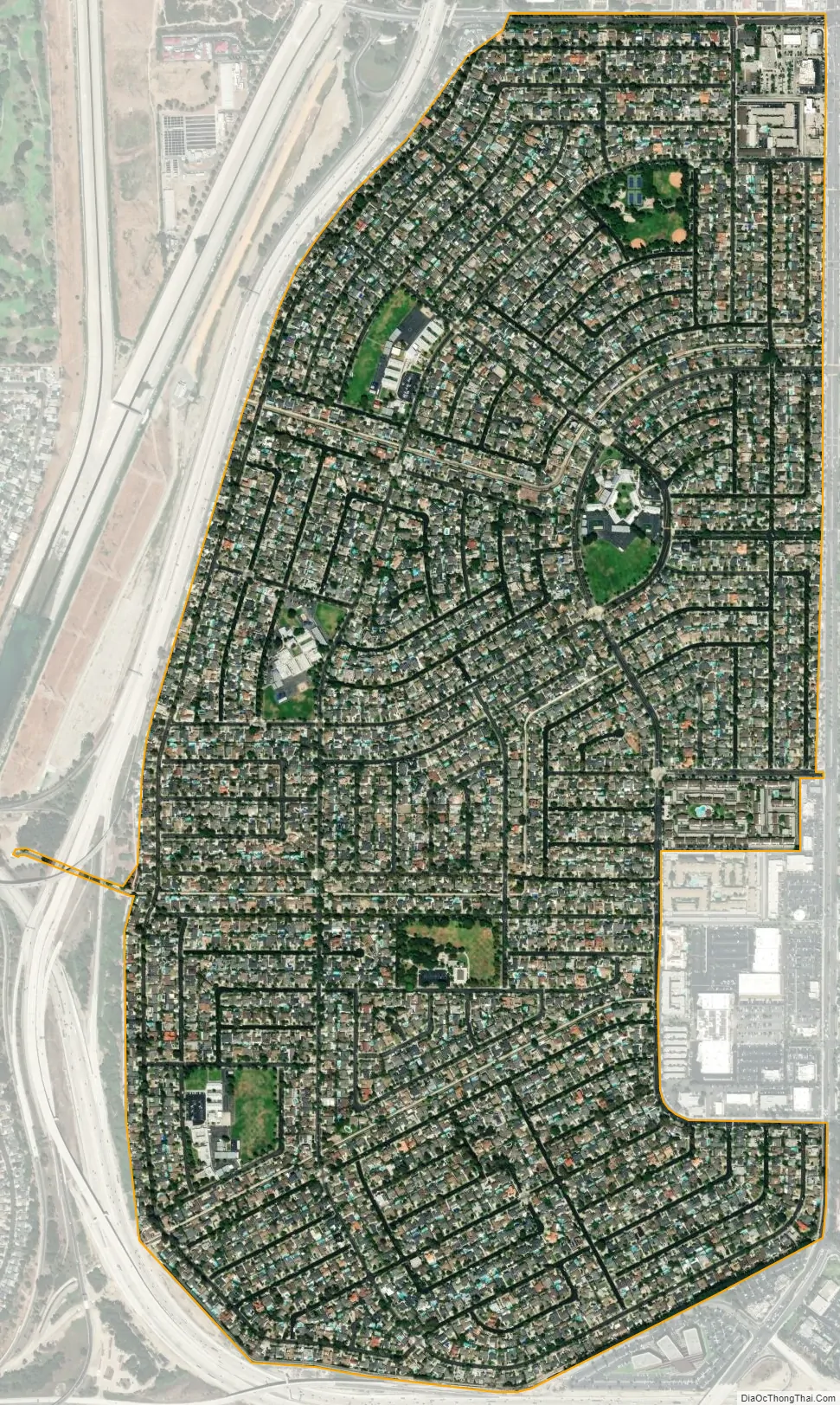
Rossmoor city Satellite Map
Geography
Rossmoor is located at 33°47’20” North, 118°4’47” West (33.788917, -118.079721). It borders the cities of Los Alamitos and Seal Beach.
According to the United States Census Bureau, the CDP has a total area of 1.54 square miles (4.0 km), all of it land.
See also
Map of California State and its subdivision:- Alameda
- Alpine
- Amador
- Butte
- Calaveras
- Colusa
- Contra Costa
- Del Norte
- El Dorado
- Fresno
- Glenn
- Humboldt
- Imperial
- Inyo
- Kern
- Kings
- Lake
- Lassen
- Los Angeles
- Madera
- Marin
- Mariposa
- Mendocino
- Merced
- Modoc
- Mono
- Monterey
- Napa
- Nevada
- Orange
- Placer
- Plumas
- Riverside
- Sacramento
- San Benito
- San Bernardino
- San Diego
- San Francisco
- San Joaquin
- San Luis Obispo
- San Mateo
- Santa Barbara
- Santa Clara
- Santa Cruz
- Shasta
- Sierra
- Siskiyou
- Solano
- Sonoma
- Stanislaus
- Sutter
- Tehama
- Trinity
- Tulare
- Tuolumne
- Ventura
- Yolo
- Yuba
- Alabama
- Alaska
- Arizona
- Arkansas
- California
- Colorado
- Connecticut
- Delaware
- District of Columbia
- Florida
- Georgia
- Hawaii
- Idaho
- Illinois
- Indiana
- Iowa
- Kansas
- Kentucky
- Louisiana
- Maine
- Maryland
- Massachusetts
- Michigan
- Minnesota
- Mississippi
- Missouri
- Montana
- Nebraska
- Nevada
- New Hampshire
- New Jersey
- New Mexico
- New York
- North Carolina
- North Dakota
- Ohio
- Oklahoma
- Oregon
- Pennsylvania
- Rhode Island
- South Carolina
- South Dakota
- Tennessee
- Texas
- Utah
- Vermont
- Virginia
- Washington
- West Virginia
- Wisconsin
- Wyoming


