San Antonio Heights is a census-designated place (CDP) in the San Bernardino County, California. It is in the northern Pomona Valley and the foothills of the San Gabriel Mountains. The population was 3,371 at the 2010 census, up from 3,122 at the 2000 census.
| Name: | San Antonio Heights CDP |
|---|---|
| LSAD Code: | 57 |
| LSAD Description: | CDP (suffix) |
| State: | California |
| County: | San Bernardino County |
| Elevation: | 2,103 ft (641 m) |
| Total Area: | 2.619 sq mi (6.781 km²) |
| Land Area: | 2.458 sq mi (6.365 km²) |
| Water Area: | 0.162 sq mi (0.416 km²) 6.13% |
| Total Population: | 3,371 |
| Population Density: | 1,300/sq mi (500/km²) |
| ZIP code: | 91784 |
| Area code: | 909 |
| FIPS code: | 0664462 |
Online Interactive Map
Click on ![]() to view map in "full screen" mode.
to view map in "full screen" mode.
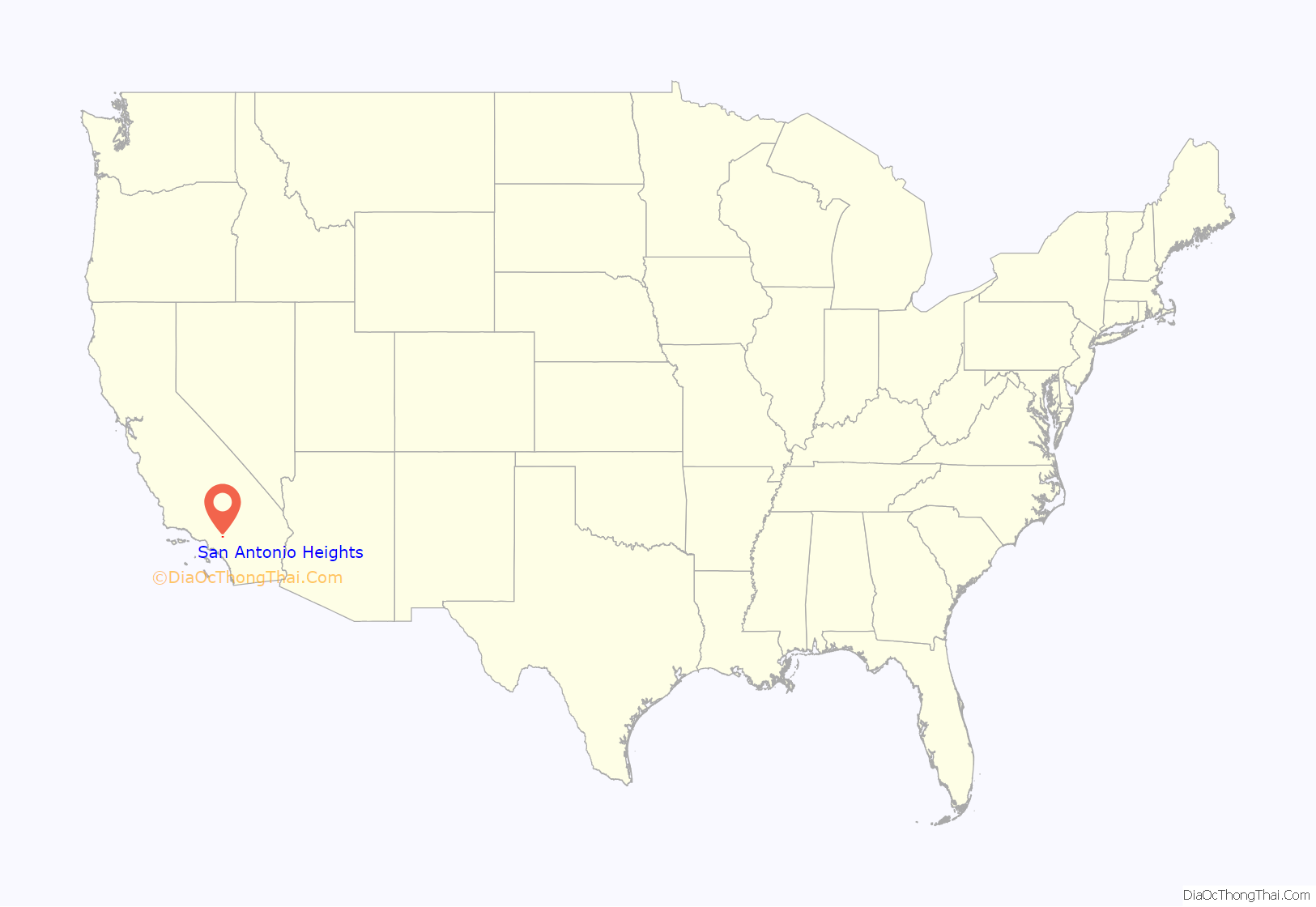
San Antonio Heights location map. Where is San Antonio Heights CDP?

San Antonio Heights Road Map

San Antonio Heights city Satellite Map

Geography
San Antonio Heights is an area located at 34°9′11″N 117°39′41″W / 34.15306°N 117.66139°W / 34.15306; -117.66139 (34.153008, -117.661433). The area is north of the city of Upland.
According to the United States Census Bureau, the CDP has a total area of 2.6 square miles (6.7 km). 2.5 square miles (6.5 km) of it is land and 0.2 square miles (0.52 km) of it (6.13%) is water.
Climate
This region experiences hot, dry summers and mild, rainy winters, receiving more rainfall than most areas in Metro Los Angeles due to being situated in the upslope foothill regions and experiencing orographic effects which increase precipitation. According to the Köppen Climate Classification system, San Antonio Heights has a hot-summer Mediterranean climate, abbreviated “Csa” on climate maps.
See also
Map of California State and its subdivision:- Alameda
- Alpine
- Amador
- Butte
- Calaveras
- Colusa
- Contra Costa
- Del Norte
- El Dorado
- Fresno
- Glenn
- Humboldt
- Imperial
- Inyo
- Kern
- Kings
- Lake
- Lassen
- Los Angeles
- Madera
- Marin
- Mariposa
- Mendocino
- Merced
- Modoc
- Mono
- Monterey
- Napa
- Nevada
- Orange
- Placer
- Plumas
- Riverside
- Sacramento
- San Benito
- San Bernardino
- San Diego
- San Francisco
- San Joaquin
- San Luis Obispo
- San Mateo
- Santa Barbara
- Santa Clara
- Santa Cruz
- Shasta
- Sierra
- Siskiyou
- Solano
- Sonoma
- Stanislaus
- Sutter
- Tehama
- Trinity
- Tulare
- Tuolumne
- Ventura
- Yolo
- Yuba
- Alabama
- Alaska
- Arizona
- Arkansas
- California
- Colorado
- Connecticut
- Delaware
- District of Columbia
- Florida
- Georgia
- Hawaii
- Idaho
- Illinois
- Indiana
- Iowa
- Kansas
- Kentucky
- Louisiana
- Maine
- Maryland
- Massachusetts
- Michigan
- Minnesota
- Mississippi
- Missouri
- Montana
- Nebraska
- Nevada
- New Hampshire
- New Jersey
- New Mexico
- New York
- North Carolina
- North Dakota
- Ohio
- Oklahoma
- Oregon
- Pennsylvania
- Rhode Island
- South Carolina
- South Dakota
- Tennessee
- Texas
- Utah
- Vermont
- Virginia
- Washington
- West Virginia
- Wisconsin
- Wyoming


