San Juan Capistrano (Spanish for “St. John of Capistrano”) is a city in Orange County, California, located along the Orange Coast. The population was 34,593 at the 2010 census.
San Juan Capistrano was founded by the Spanish in 1776, when St. Junípero Serra established Mission San Juan Capistrano. Extensive damage caused by the 1812 Capistrano earthquake caused the community to decline. Following the Mexican secularization act of 1833, the mission village officially became a town and was briefly renamed as San Juan de Argüello. Following the American Conquest of California, San Juan remained a small, rural town until the 20th century; the restoration of the mission in the 1910–20s transformed the town into a tourist destination and a backdrop for Hollywood films.
| Name: | San Juan Capistrano city |
|---|---|
| LSAD Code: | 25 |
| LSAD Description: | city (suffix) |
| State: | California |
| County: | Orange County |
| Incorporated: | April 19, 1961 |
| Elevation: | 121 ft (37 m) |
| Total Area: | 14.43 sq mi (37.37 km²) |
| Land Area: | 14.43 sq mi (37.37 km²) |
| Water Area: | 0.00 sq mi (0.00 km²) |
| Total Population: | 34,593 |
| Population Density: | 2,488.63/sq mi (960.84/km²) |
| ZIP code: | 92675 |
| Area code: | 949 |
| FIPS code: | 0668028 |
| Website: | sanjuancapistrano.org |
Online Interactive Map
Click on ![]() to view map in "full screen" mode.
to view map in "full screen" mode.
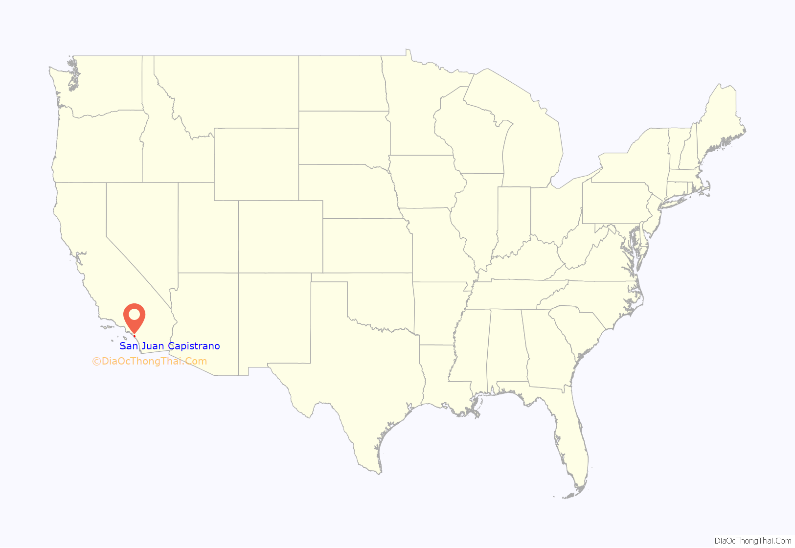
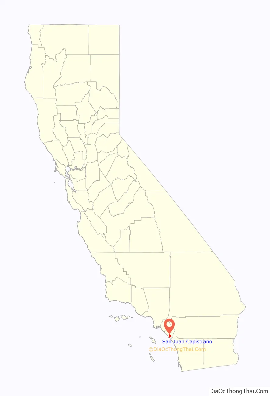
San Juan Capistrano location map. Where is San Juan Capistrano city?
History
Indigenous
The region was populated by the Acjachemen, referred to by the Spanish as Juaneños, an Indigenous Californian nation. They lived in the area for approximately 10,000 years, with some of their oldest villages being confirmed as over 9,600 years old. The mother village of Putuidem was located in what is now San Juan Capistrano, as well as the village of Acjacheme.
Spanish era
San Juan Capistrano was established by the Spanish in 1776, when Saint Junípero Serra founded Mission San Juan Capistrano, the seventh of the Spanish missions in California. The mission was built less than 60 yards from the village of Acjacheme, which was exploited as a source of labor for the mission. The mission was named after St. John of Capistrano, a 14th-15th century Franciscan saint. The 1812 San Juan Capistrano earthquake resulted in the deaths of thirty-nine Acjachemen people, thirty-one of whom were women, when the stone church at the Mission collapsed.
Mexican era
The Mexican Congress of the Union enacted the secularization of the Californian missions in 1833. In the mission period, 4,317 natives had been baptized at the mission (1,689 adults and 2,628 children). In that same period, 3,158 of those baptized had died. Some of the native people who survived the mission period continued to live at the mission for a short period after the secularization act, while others settled in the surrounding areas.
Each mission was appointed an administrator to oversee the transfer of the missions and their lands from the Franciscan Order to the Mexican authorities. Santiago Argüello, a member of a prominent family of Californios, was appointed administrator of Mission San Juan Capistrano. During his tenure, the community was briefly renamed “San Juan de Argüello”, similar to what happened to San Juan Bautista in Northern California, which was briefly renamed “San Juan de Castro” after its administrator José Castro.
In 1844 Don Juan Forster and James McKinley purchased the former Mission San Juan Capistrano at public auction. Forster made his home here until 1864, when the mission was returned to the Catholic Church by president Abraham Lincoln.
American era
Following the American Conquest of California, San Juan remained a relatively small and rural community until the end of the 19th century.
Padre O’Sullivan arrived in San Juan Capistrano in 1910 to recuperate from a recent stroke. He became fascinated by Mission San Juan Capistrano and soon set to work on rebuilding it a section at a time. O’Sullivan repaired the roof of the Serra Chapel using California sycamore logs to match those that were used in the original work. He brought in architect Arthur B. Benton of Los Angeles to strengthen the chapel walls through the addition of heavy masonry buttresses. The centerpiece of the chapel restoration was its retablo, imported from Barcelona in 1806 and donated by the Bishop of Los Angeles.
The restoration of the mission resulted in San Juan Capistrano’s emergence as a tourist destination, owing to its historic architecture and proximity to the sea. The mission was used often in Hollywood productions, such as D.W. Griffith’s 1910 western film The Two Brothers, the first film ever shot in Orange County. San Juan incorporated as a city on April 19, 1961.
From 2009 to 2017, the famous swallows did not return to San Juan Capistrano, instead migrating to the Chino Hills, north of San Juan Capistrano. The swallows changed their route because the mission is no longer the tallest building in the area due to urban sprawl, and thus stopped attracting the swallows for nesting. Mission San Juan Capistrano embarked on a program to facilitate the return of the swallows, first by using swallow calls to attract the birds and then by building artificial swallow nests for the birds to use. As of 2017, the cliff swallows have returned home to Mission San Juan Capistrano and are still celebrated each year at the town’s annual Swallows Day Parade and Mercado Street Fair. In 2018, the town celebrated its 80th annual Swallows Day Parade and Fiesta de las Golondrinas (Spanish for “Festival of the Swallows”). The event holds the title of being the longest-running and largest non-motorized parade west of the Mississippi.
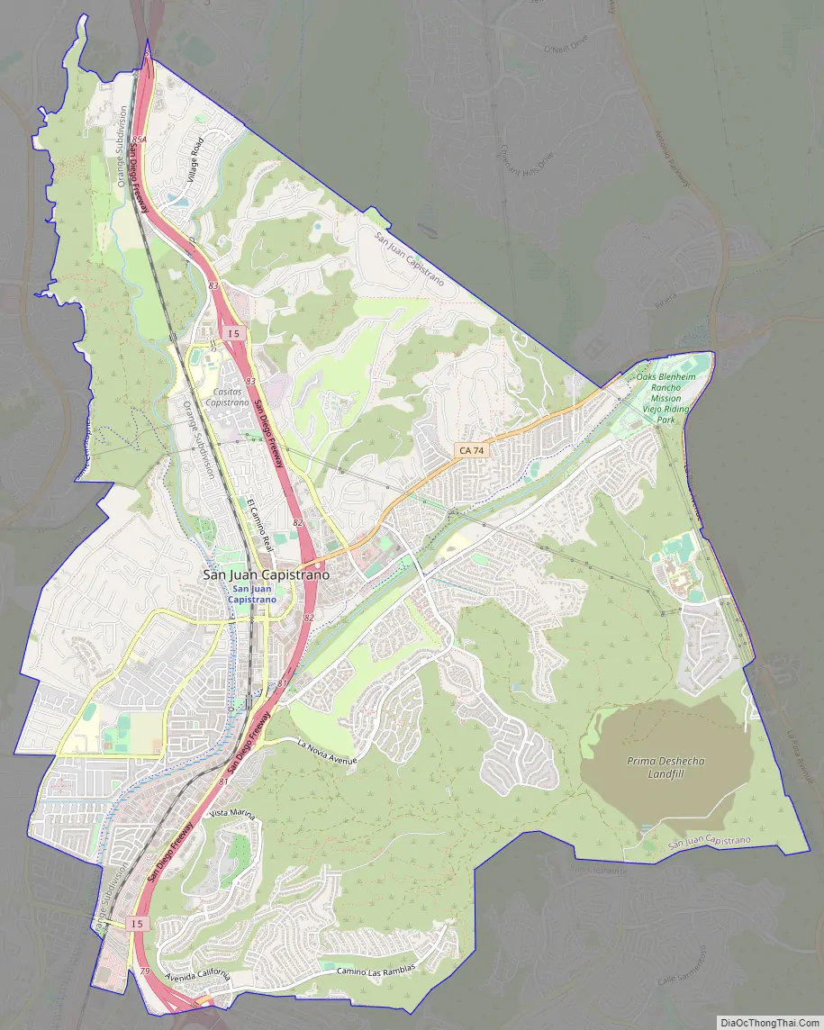
San Juan Capistrano Road Map
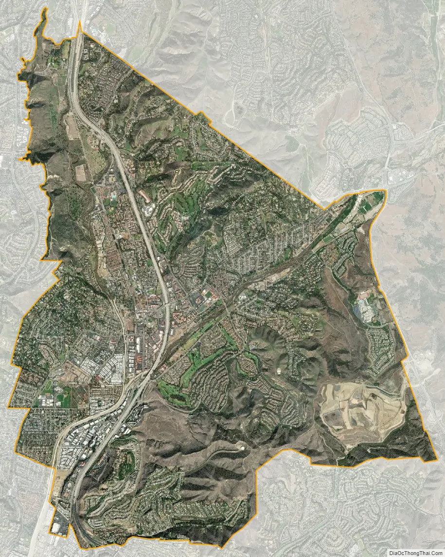
San Juan Capistrano city Satellite Map
Geography
San Juan Capistrano is located in south Orange County and is bisected by Interstate 5.
According to the United States Census Bureau, the city has a total area of 14.3 square miles (37 km). 14.1 square miles (37 km) of it is land and 0.1 square miles (0.26 km) of it (1.26%) is water.
Climate
See also
Map of California State and its subdivision:- Alameda
- Alpine
- Amador
- Butte
- Calaveras
- Colusa
- Contra Costa
- Del Norte
- El Dorado
- Fresno
- Glenn
- Humboldt
- Imperial
- Inyo
- Kern
- Kings
- Lake
- Lassen
- Los Angeles
- Madera
- Marin
- Mariposa
- Mendocino
- Merced
- Modoc
- Mono
- Monterey
- Napa
- Nevada
- Orange
- Placer
- Plumas
- Riverside
- Sacramento
- San Benito
- San Bernardino
- San Diego
- San Francisco
- San Joaquin
- San Luis Obispo
- San Mateo
- Santa Barbara
- Santa Clara
- Santa Cruz
- Shasta
- Sierra
- Siskiyou
- Solano
- Sonoma
- Stanislaus
- Sutter
- Tehama
- Trinity
- Tulare
- Tuolumne
- Ventura
- Yolo
- Yuba
- Alabama
- Alaska
- Arizona
- Arkansas
- California
- Colorado
- Connecticut
- Delaware
- District of Columbia
- Florida
- Georgia
- Hawaii
- Idaho
- Illinois
- Indiana
- Iowa
- Kansas
- Kentucky
- Louisiana
- Maine
- Maryland
- Massachusetts
- Michigan
- Minnesota
- Mississippi
- Missouri
- Montana
- Nebraska
- Nevada
- New Hampshire
- New Jersey
- New Mexico
- New York
- North Carolina
- North Dakota
- Ohio
- Oklahoma
- Oregon
- Pennsylvania
- Rhode Island
- South Carolina
- South Dakota
- Tennessee
- Texas
- Utah
- Vermont
- Virginia
- Washington
- West Virginia
- Wisconsin
- Wyoming


