Shingle Springs (formerly, Shingle Spring and Shingle) is a census-designated place (CDP) in El Dorado County, California, United States. The population was 4,432 at the 2010 census, up from 2,643 at the 2000 census. It is located about 40 miles (64 km) from Sacramento in the Gold Country foothills and sits directly on Highway 50. The towns of Coloma and Placerville are less than 15 miles (24 km) away.
Shingle Springs is part of the Sacramento–Arden-Arcade–Roseville Metropolitan Statistical Area.
The Shingle Springs Band of Miwok Indians, a federally recognized tribe of Maidu and Miwok people, are headquartered in Shingle Springs.
| Name: | Shingle Springs CDP |
|---|---|
| LSAD Code: | 57 |
| LSAD Description: | CDP (suffix) |
| State: | California |
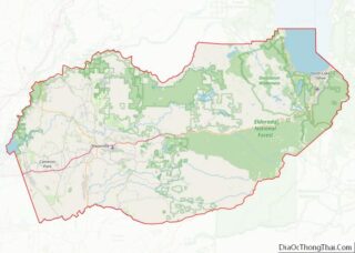
| County: | El Dorado County |
| Elevation: | 1,421 ft (433 m) |
| Total Area: | 8.238 sq mi (21.335 km²) |
| Land Area: | 8.209 sq mi (21.260 km²) |
| Water Area: | 0.029 sq mi (0.075 km²) 0.35% |
| Total Population: | 4,432 |
| Population Density: | 540/sq mi (210/km²) |
| ZIP code: | 95682 |
| Area code: | 530 |
| FIPS code: | 0671554 |
| GNISfeature ID: | 1659645 |
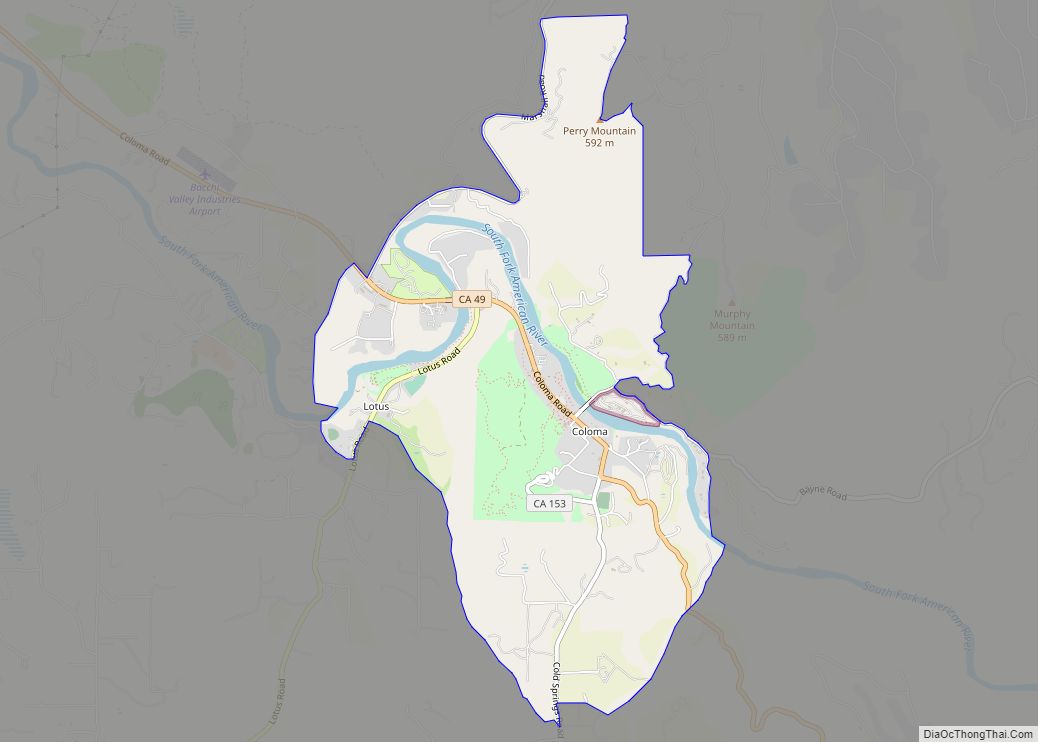
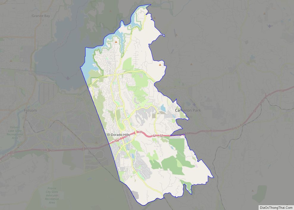
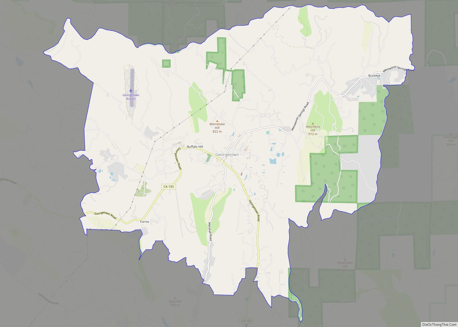
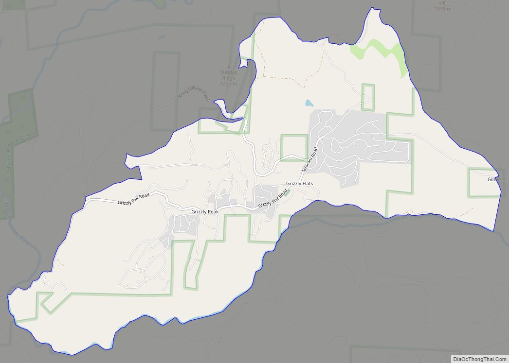
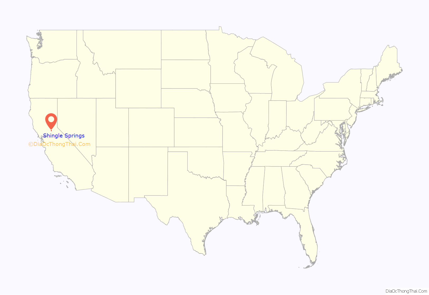
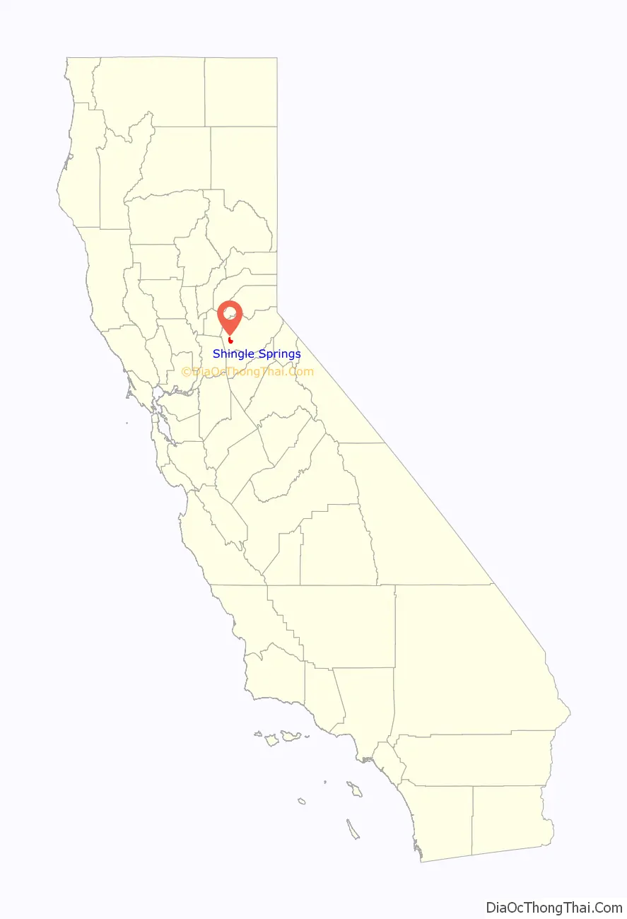
Online Interactive Map
Click on ![]() to view map in "full screen" mode.
to view map in "full screen" mode.
Shingle Springs location map. Where is Shingle Springs CDP?
History
Before the area was settled by Anglo-Americans, a Maidu village called Bamom was located in the vicinity.
Like many of the other towns in California’s Mother Lode, Shingle Springs grew on the site of a mining camp set up by gold miners during the California Gold Rush, in this case a group of “49ers” who had followed the Carson-Emigrant Trail through Pleasant Valley, Nevada. It took its name from a horse-drawn shingle machine capable of producing 16,000 shingles a day that was located near the springs at the western edge of the camp. The Boston-Newton Joint Stock Association, which left Boston April 16, 1849, camped there the night before their arrival at Sutter’s Fort on September 27, after a remarkable journey across the continent. A rich store of written records preserved by these pioneers has left a detailed picture of the Gold Rush. As a result, the town is now designated California Historical Landmark #456.
The Shingle Spring post office operated from 1853 to 1855. The Shingle Springs post office opened in 1865, the name was changed to Shingle in 1895, and reverted in 1955.
Shingle Springs Road Map
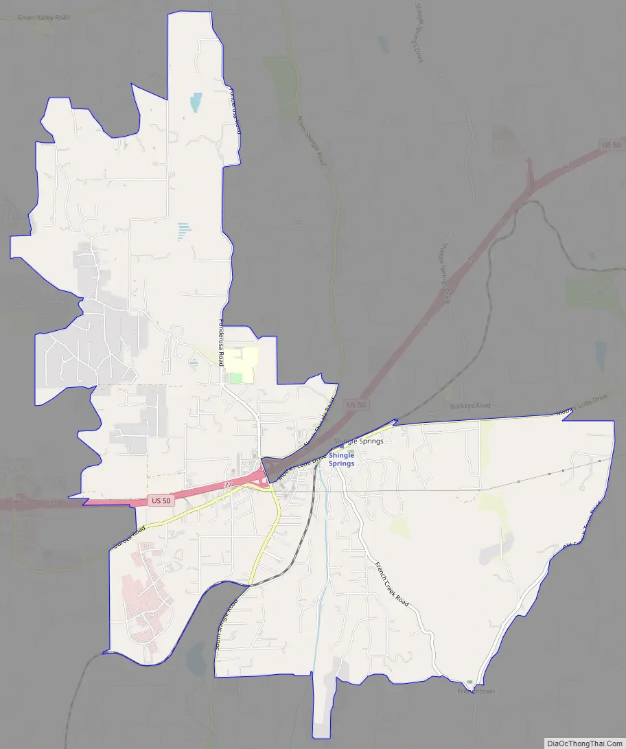
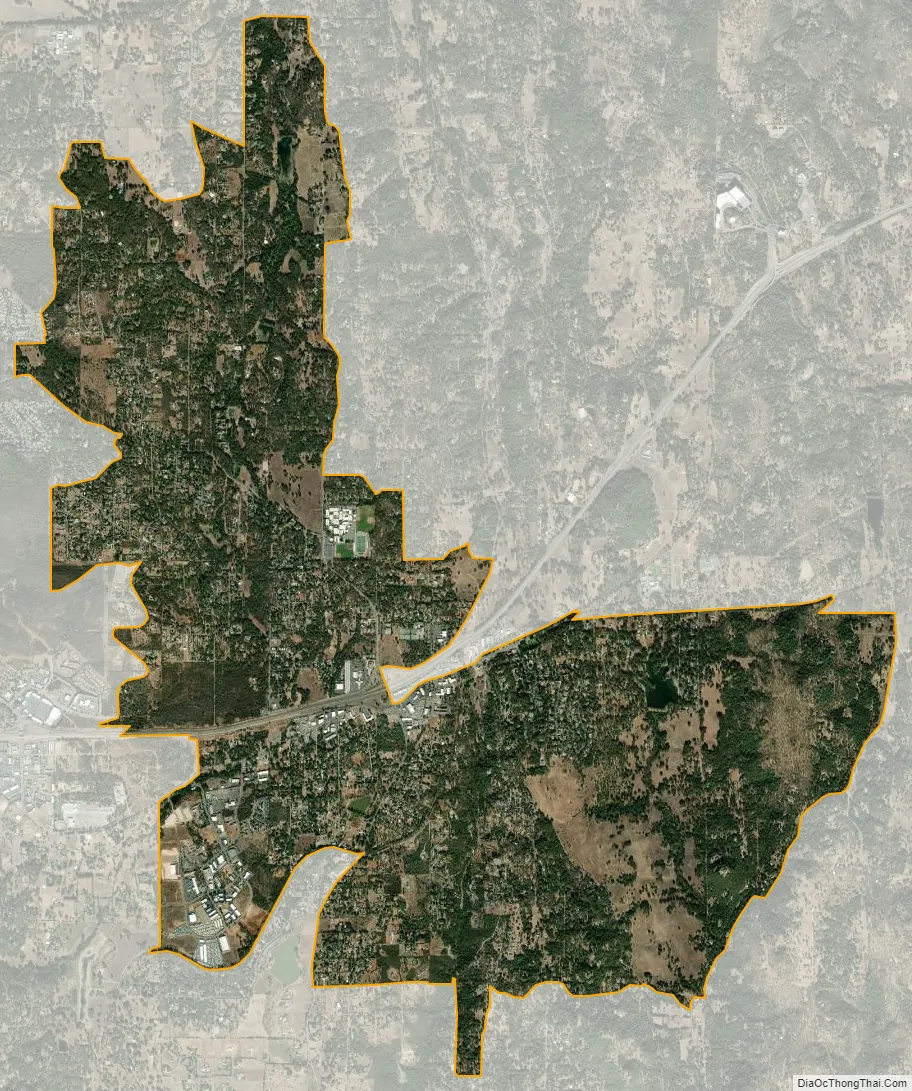
Shingle Springs city Satellite Map
Geography
According to the United States Census Bureau, the CDP has a total area of 8.2 square miles (21 km), of which, over 99% is land.
For the 2000 census, the CDP had a total area of 5.2 square miles (13 km), of which, 5.2 square miles (13 km) of it was land and 0.19% was water.
See also
Map of California State and its subdivision:- Alameda
- Alpine
- Amador
- Butte
- Calaveras
- Colusa
- Contra Costa
- Del Norte
- El Dorado
- Fresno
- Glenn
- Humboldt
- Imperial
- Inyo
- Kern
- Kings
- Lake
- Lassen
- Los Angeles
- Madera
- Marin
- Mariposa
- Mendocino
- Merced
- Modoc
- Mono
- Monterey
- Napa
- Nevada
- Orange
- Placer
- Plumas
- Riverside
- Sacramento
- San Benito
- San Bernardino
- San Diego
- San Francisco
- San Joaquin
- San Luis Obispo
- San Mateo
- Santa Barbara
- Santa Clara
- Santa Cruz
- Shasta
- Sierra
- Siskiyou
- Solano
- Sonoma
- Stanislaus
- Sutter
- Tehama
- Trinity
- Tulare
- Tuolumne
- Ventura
- Yolo
- Yuba
- Alabama
- Alaska
- Arizona
- Arkansas
- California
- Colorado
- Connecticut
- Delaware
- District of Columbia
- Florida
- Georgia
- Hawaii
- Idaho
- Illinois
- Indiana
- Iowa
- Kansas
- Kentucky
- Louisiana
- Maine
- Maryland
- Massachusetts
- Michigan
- Minnesota
- Mississippi
- Missouri
- Montana
- Nebraska
- Nevada
- New Hampshire
- New Jersey
- New Mexico
- New York
- North Carolina
- North Dakota
- Ohio
- Oklahoma
- Oregon
- Pennsylvania
- Rhode Island
- South Carolina
- South Dakota
- Tennessee
- Texas
- Utah
- Vermont
- Virginia
- Washington
- West Virginia
- Wisconsin
- Wyoming