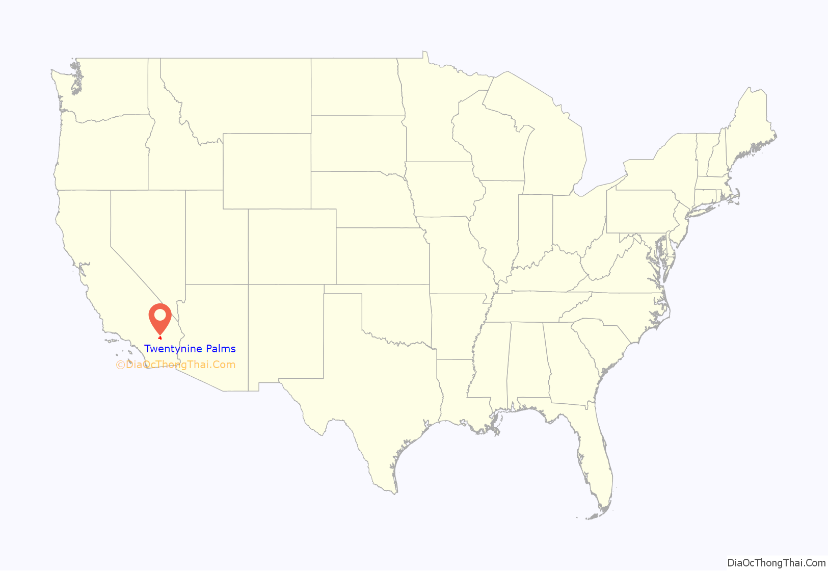
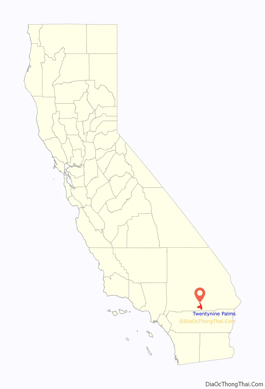
Twentynine Palms (also known as 29 Palms) is a city in San Bernardino County, California. Twentynine Palms serves as one of the entry points to Joshua Tree National Park.
| Name: | Twentynine Palms city |
|---|---|
| LSAD Code: | 25 |
| LSAD Description: | city (suffix) |
| State: | California |
| County: | San Bernardino County |
| Incorporated: | November 23, 1987 |
| Elevation: | 1,988 ft (606 m) |
| Total Area: | 58.76 sq mi (152.18 km²) |
| Land Area: | 58.76 sq mi (152.18 km²) |
| Water Area: | 0.00 sq mi (0.00 km²) 0% |
| Total Population: | 25,048 |
| Population Density: | 443.74/sq mi (171.33/km²) |
| ZIP code: | 92277-92278 |
| FIPS code: | 0680994 |
| Website: | www.ci.twentynine-palms.ca.us |
Online Interactive Map
Click on ![]() to view map in "full screen" mode.
to view map in "full screen" mode.
Twentynine Palms location map. Where is Twentynine Palms city?
History
Twentynine Palms was named for the palm trees found there in 1852 by Col. Henry Washington while surveying the San Bernardino base line. A post office was established in 1927.
A road named Utah Trail honors the late 1800s pioneers on a trail originating in Utah (reportedly Saint George) that went to Twentynine Palms. Nearby is a small Indian reservation belonging to the Twenty-Nine Palms Band of Mission Indians.
Joshua Tree National Park, which lies just to the south of Twentynine Palms, was designated a national monument in 1936, and became a national park in 1994. The nearby Marine Corps Air Ground Combat Center Twentynine Palms was founded in 1952.
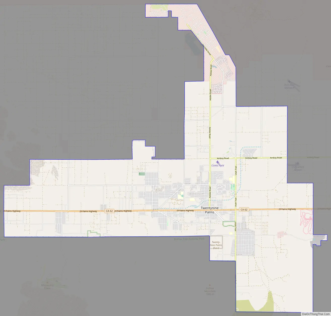
Twentynine Palms Road Map
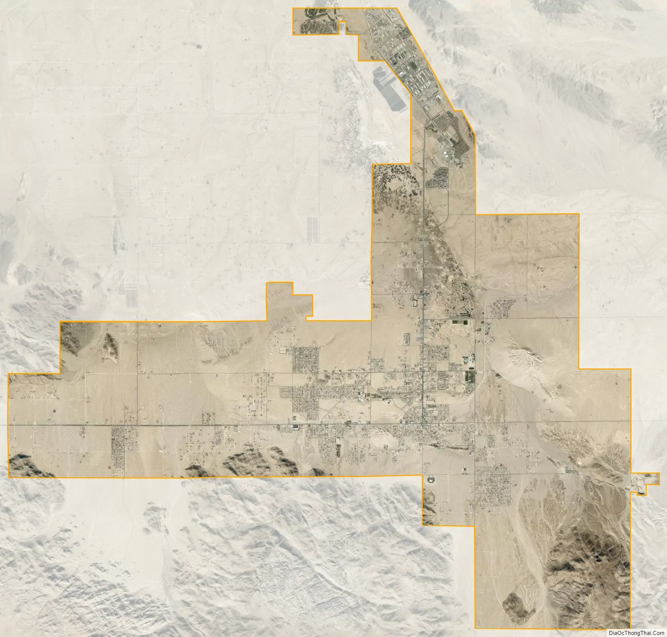
Twentynine Palms city Satellite Map
Geography
The city is located in the Mojave Desert in Southern California. It lies on the northern side of the Joshua Tree National Park and includes one of the entrances to the park, at the Oasis of Mara.
According to the United States Census Bureau, the city has a total area of 59.1 square miles (153 km), all land. The city is at an elevation of 1,988 feet (606 m). The Marine Corps Air Ground Combat Center Twentynine Palms is located there.
Climate
Due in large part to its elevation of more than 1,900 ft (580 m) above sea level, Twentynine Palms has a slightly cooler climate, especially during winter, than Palm Springs, but with essentially the same subtropical desert characteristics. On average, temperatures reach 100 °F (38 °C) on 89 days, 90 °F (32 °C) on 154 days, and the freezing mark on 17 nights annually. Extremes range from 10 °F (−12 °C) on December 23, 1990, to 118 °F (48 °C) on July 11, 1961. Winters are moderately cool, with highs in the 60s °F and lows in the 40s °F. Summers are hot, with high temperatures above 100 °F (38 °C). The wettest month is August, with 0.65 in (17 mm) inches of rain, mostly from monsoon thunderstorms.
See also
Map of California State and its subdivision:- Alameda
- Alpine
- Amador
- Butte
- Calaveras
- Colusa
- Contra Costa
- Del Norte
- El Dorado
- Fresno
- Glenn
- Humboldt
- Imperial
- Inyo
- Kern
- Kings
- Lake
- Lassen
- Los Angeles
- Madera
- Marin
- Mariposa
- Mendocino
- Merced
- Modoc
- Mono
- Monterey
- Napa
- Nevada
- Orange
- Placer
- Plumas
- Riverside
- Sacramento
- San Benito
- San Bernardino
- San Diego
- San Francisco
- San Joaquin
- San Luis Obispo
- San Mateo
- Santa Barbara
- Santa Clara
- Santa Cruz
- Shasta
- Sierra
- Siskiyou
- Solano
- Sonoma
- Stanislaus
- Sutter
- Tehama
- Trinity
- Tulare
- Tuolumne
- Ventura
- Yolo
- Yuba
- Alabama
- Alaska
- Arizona
- Arkansas
- California
- Colorado
- Connecticut
- Delaware
- District of Columbia
- Florida
- Georgia
- Hawaii
- Idaho
- Illinois
- Indiana
- Iowa
- Kansas
- Kentucky
- Louisiana
- Maine
- Maryland
- Massachusetts
- Michigan
- Minnesota
- Mississippi
- Missouri
- Montana
- Nebraska
- Nevada
- New Hampshire
- New Jersey
- New Mexico
- New York
- North Carolina
- North Dakota
- Ohio
- Oklahoma
- Oregon
- Pennsylvania
- Rhode Island
- South Carolina
- South Dakota
- Tennessee
- Texas
- Utah
- Vermont
- Virginia
- Washington
- West Virginia
- Wisconsin
- Wyoming


