The Town of Garden City is a Statutory Town located in Weld County, Colorado, United States. The town population was 254 at the 2020 United States Census. Garden City is a part of the Greeley, CO Metropolitan Statistical Area and the Front Range Urban Corridor. It is surrounded by the cities of Greeley and Evans, Colorado.
| Name: | Garden City town |
|---|---|
| LSAD Code: | 43 |
| LSAD Description: | town (suffix) |
| State: | Colorado |
| County: | Weld County |
| Founded: | 1935 |
| Elevation: | 4,695 ft (1,431 m) |
| Total Area: | 0.113 sq mi (0.292 km²) |
| Land Area: | 0.113 sq mi (0.292 km²) |
| Water Area: | 0.000 sq mi (0.000 km²) |
| Total Population: | 254 |
| Population Density: | 2,300/sq mi (870/km²) |
| ZIP code: | 80631 |
| Area code: | 970 |
| FIPS code: | 0829185 |
| GNISfeature ID: | 0180637 |
| Website: | townofgardencity.com |
Online Interactive Map
Click on ![]() to view map in "full screen" mode.
to view map in "full screen" mode.
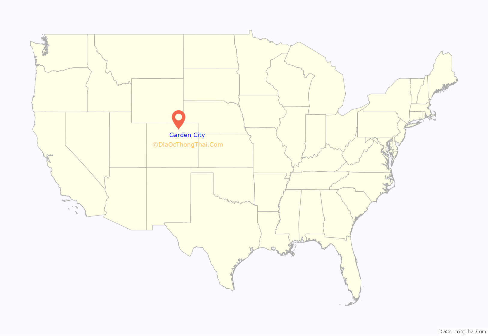
Garden City location map. Where is Garden City town?

History
Garden City was founded on August 2, 1938, as a base for saloons and liquor stores serving residents of nearby Greeley, Colorado, which was then a Dry City. Shortly after the repeal of Prohibition in the United States, in June 1935, Greeley voters, by a majority of 356 votes, voted in the local option election to make Greeley “dry” and prohibit the sale, manufacture, transportation, or possession of liquor in the city limits of Greeley. The morning following the election, two Greeley liquor stores were closed by the Chief of Police. The Greeley Tribune published several articles about a Wet Town incorporating Greeley’s southern edge.
This area was home to a 10-acre area known at the time as Ray’s Cottage Camp, owned by Mrs. A.F. Ray. The law for incorporating a town at the time required a petition to be filled with Weld County of 30 or more residents who were also landowners. Mrs. Ray sold cabins and lots in her Cottage Camp for as little as $100.00 so that Garden City could meet the petition criteria.
According to Tribune articles written at the time, the incorporation of Garden City was challenged and found to be invalid twice but Garden City did finally become incorporated on the third attempt in 1938. According to the incorporation document on file in the Clerk’s Office, the incorporation date was August 2, 1938.
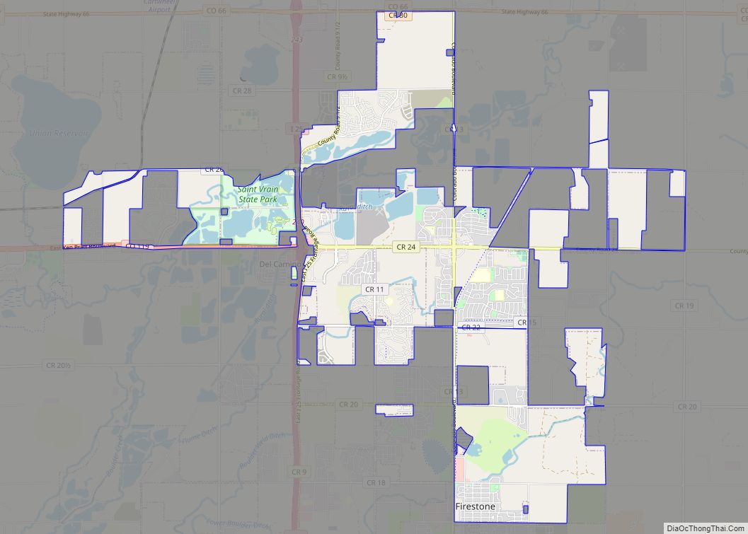
Garden City Road Map
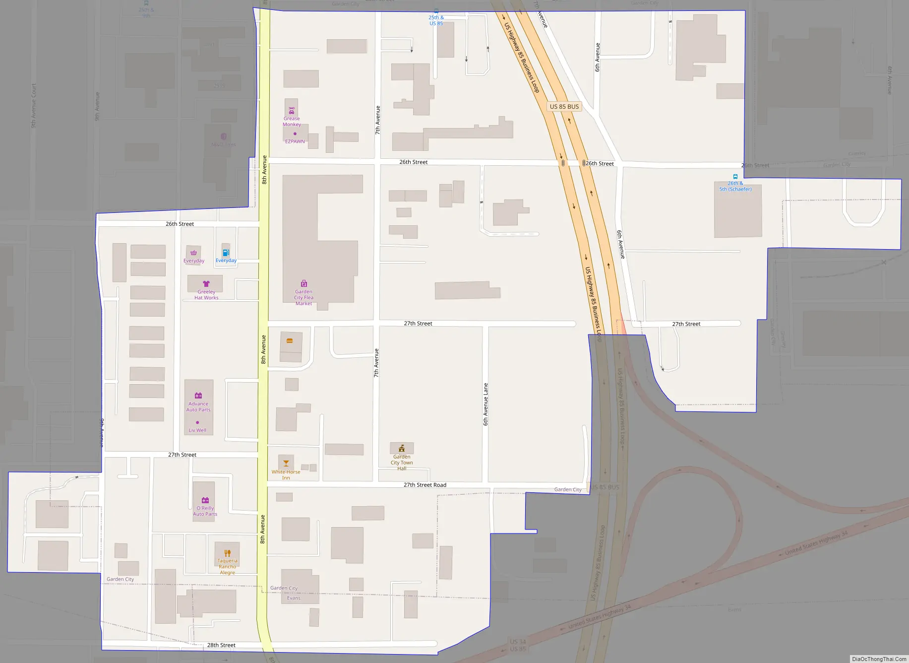
Garden City city Satellite Map

Geography
Garden City is located at 40°23′41″N 104°41′19″W / 40.39472°N 104.68861°W / 40.39472; -104.68861 (40.394766, -104.688634).
At the 2020 United States Census, the town had a total area of 72 acres (0.292 km), all of it land.
See also
Map of Colorado State and its subdivision:- Adams
- Alamosa
- Arapahoe
- Archuleta
- Baca
- Bent
- Boulder
- Broomfield
- Chaffee
- Cheyenne
- Clear Creek
- Conejos
- Costilla
- Crowley
- Custer
- Delta
- Denver
- Dolores
- Douglas
- Eagle
- El Paso
- Elbert
- Fremont
- Garfield
- Gilpin
- Grand
- Gunnison
- Hinsdale
- Huerfano
- Jackson
- Jefferson
- Kiowa
- Kit Carson
- La Plata
- Lake
- Larimer
- Las Animas
- Lincoln
- Logan
- Mesa
- Mineral
- Moffat
- Montezuma
- Montrose
- Morgan
- Otero
- Ouray
- Park
- Phillips
- Pitkin
- Prowers
- Pueblo
- Rio Blanco
- Rio Grande
- Routt
- Saguache
- San Juan
- San Miguel
- Sedgwick
- Summit
- Teller
- Washington
- Weld
- Yuma
- Alabama
- Alaska
- Arizona
- Arkansas
- California
- Colorado
- Connecticut
- Delaware
- District of Columbia
- Florida
- Georgia
- Hawaii
- Idaho
- Illinois
- Indiana
- Iowa
- Kansas
- Kentucky
- Louisiana
- Maine
- Maryland
- Massachusetts
- Michigan
- Minnesota
- Mississippi
- Missouri
- Montana
- Nebraska
- Nevada
- New Hampshire
- New Jersey
- New Mexico
- New York
- North Carolina
- North Dakota
- Ohio
- Oklahoma
- Oregon
- Pennsylvania
- Rhode Island
- South Carolina
- South Dakota
- Tennessee
- Texas
- Utah
- Vermont
- Virginia
- Washington
- West Virginia
- Wisconsin
- Wyoming