Johnstown is a home rule municipality in Weld and Larimer counties in the U.S. state of Colorado. The population was 17,303 at the 2020 United States Census.
| Name: | Johnstown town |
|---|---|
| LSAD Code: | 43 |
| LSAD Description: | town (suffix) |
| State: | Colorado |
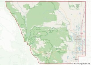
| County: | Larimer County, Weld County |
| Elevation: | 4,852 ft (1,479 m) |
| Total Area: | 13.84 sq mi (35.84 km²) |
| Land Area: | 13.75 sq mi (35.62 km²) |
| Water Area: | 0.09 sq mi (0.22 km²) |
| Total Population: | 17,303 |
| Population Density: | 1,300/sq mi (480/km²) |
| ZIP code: | 80534 |
| Area code: | 970 |
| FIPS code: | 0839855 |
| GNISfeature ID: | 180701 |
Online Interactive Map
Click on ![]() to view map in "full screen" mode.
to view map in "full screen" mode.
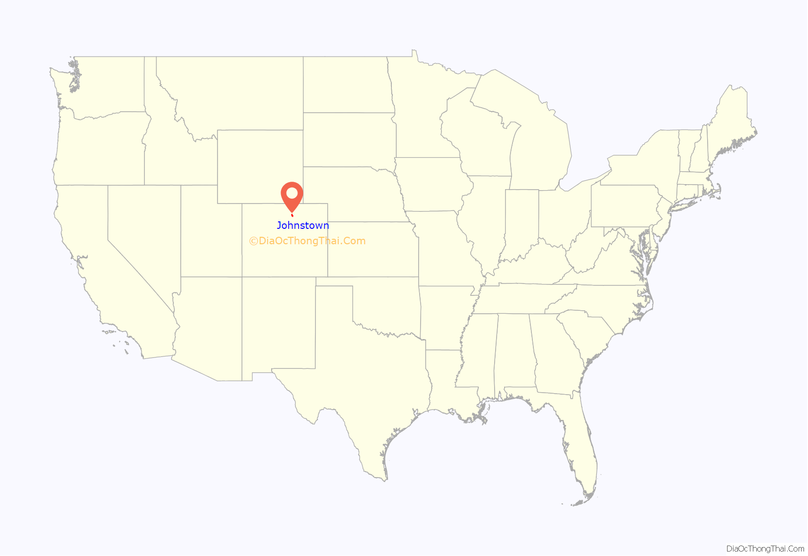
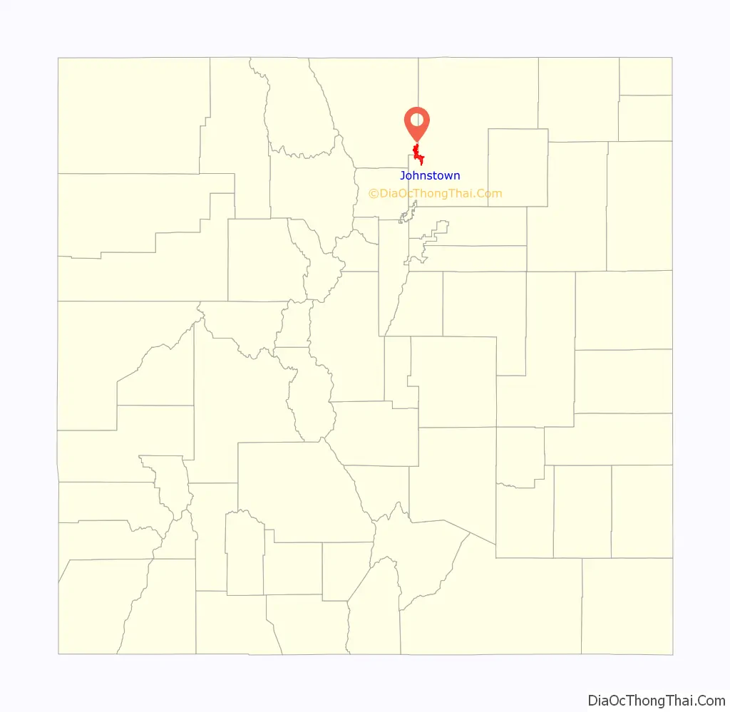
Johnstown location map. Where is Johnstown town?
History
The Town of Johnstown began with the vision of Harvey J. Parish before its platting in 1902. The town was named for Parish’s son. The town was incorporated in 1907.
A meteorite fall in the adjacent former town of Elwell on the afternoon of 6 July 1924, became known as the Johnstown meteorite. It was notable with a number of large pieces of the broken-up asteroid recovered, including one of 23.5 kg (52 lb) that impacted into the Earth to a depth of 1.7 m (5.5 ft). The meteorite fell during an outdoor funeral service with more than 200 people attending who witnessed the event or heard the several stones falling. The meteorite is classified as an “achondrite stony meteorite of the diogenite class in the HED group” of meteorites that are believed to have hived off of the asteroid Vesta approximately one billion years ago.
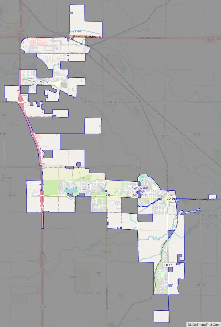
Johnstown Road Map
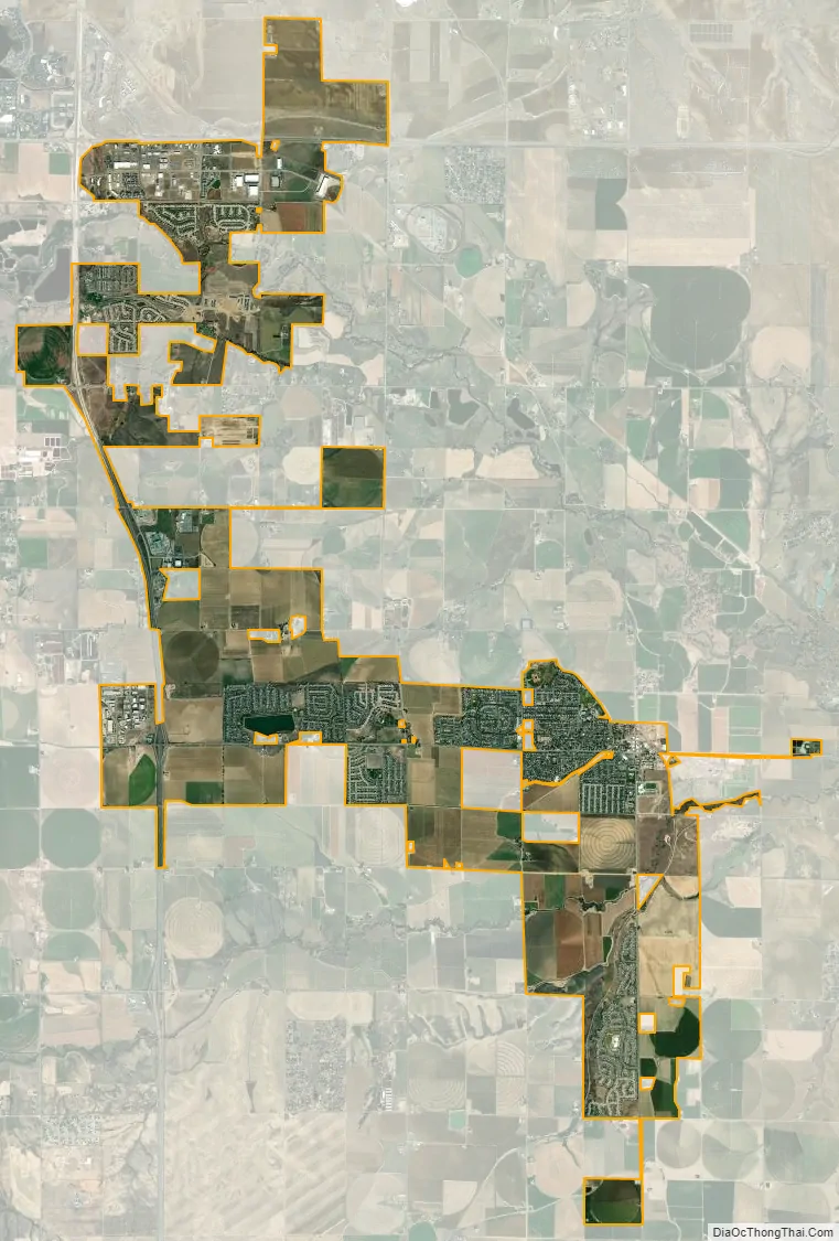
Johnstown city Satellite Map
Geography
Johnstown is located just west of the confluence of the Big Thompson River and the Little Thompson River. Greeley is about ten miles to the east-northeast and Loveland is approximately nine miles to the northwest.
According to the United States Census Bureau, the town in 2010 had a total area of 13.52 square miles (35.0 km).
See also
Map of Colorado State and its subdivision:- Adams
- Alamosa
- Arapahoe
- Archuleta
- Baca
- Bent
- Boulder
- Broomfield
- Chaffee
- Cheyenne
- Clear Creek
- Conejos
- Costilla
- Crowley
- Custer
- Delta
- Denver
- Dolores
- Douglas
- Eagle
- El Paso
- Elbert
- Fremont
- Garfield
- Gilpin
- Grand
- Gunnison
- Hinsdale
- Huerfano
- Jackson
- Jefferson
- Kiowa
- Kit Carson
- La Plata
- Lake
- Larimer
- Las Animas
- Lincoln
- Logan
- Mesa
- Mineral
- Moffat
- Montezuma
- Montrose
- Morgan
- Otero
- Ouray
- Park
- Phillips
- Pitkin
- Prowers
- Pueblo
- Rio Blanco
- Rio Grande
- Routt
- Saguache
- San Juan
- San Miguel
- Sedgwick
- Summit
- Teller
- Washington
- Weld
- Yuma
- Alabama
- Alaska
- Arizona
- Arkansas
- California
- Colorado
- Connecticut
- Delaware
- District of Columbia
- Florida
- Georgia
- Hawaii
- Idaho
- Illinois
- Indiana
- Iowa
- Kansas
- Kentucky
- Louisiana
- Maine
- Maryland
- Massachusetts
- Michigan
- Minnesota
- Mississippi
- Missouri
- Montana
- Nebraska
- Nevada
- New Hampshire
- New Jersey
- New Mexico
- New York
- North Carolina
- North Dakota
- Ohio
- Oklahoma
- Oregon
- Pennsylvania
- Rhode Island
- South Carolina
- South Dakota
- Tennessee
- Texas
- Utah
- Vermont
- Virginia
- Washington
- West Virginia
- Wisconsin
- Wyoming