The City of Lone Tree is a home rule municipality located in northern Douglas County, Colorado, United States. Lone Tree is a part of the Denver–Aurora–Lakewood, CO Metropolitan Statistical Area. The city population was 14,253 at the 2020 United States Census.
| Name: | Lone Tree city |
|---|---|
| LSAD Code: | 25 |
| LSAD Description: | city (suffix) |
| State: | Colorado |
| County: | Douglas County |
| Incorporated: | 1996 |
| Elevation: | 5,948 ft (1,813 m) |
| Total Area: | 9.69 sq mi (25.10 km²) |
| Land Area: | 9.69 sq mi (25.10 km²) |
| Water Area: | 0.00 sq mi (0.00 km²) |
| Total Population: | 14,253 |
| Population Density: | 1,500/sq mi (570/km²) |
| ZIP code: | 80124 |
| Area code: | Both 303 and 720 |
| FIPS code: | 0845955 |
| GNISfeature ID: | 1721392 |
| Website: | www.cityoflonetree.com |
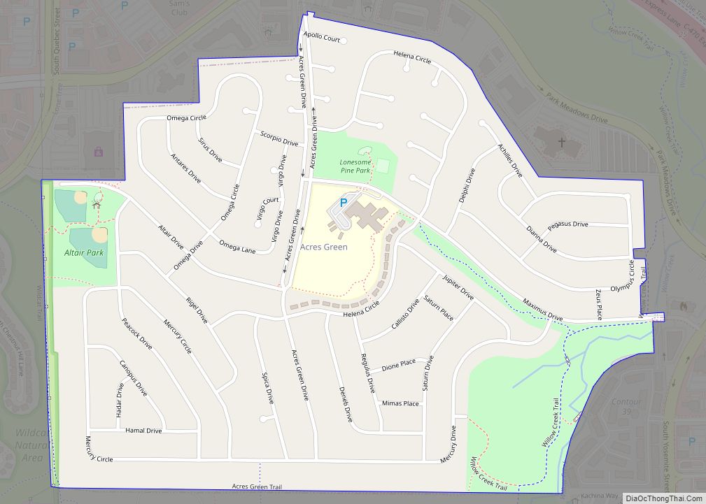
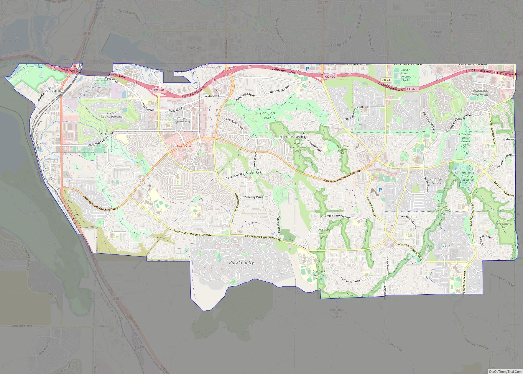
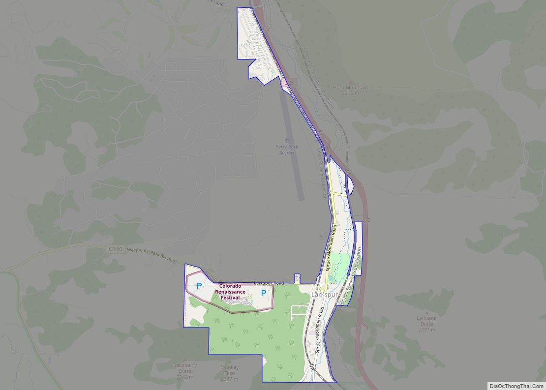
Online Interactive Map
Click on ![]() to view map in "full screen" mode.
to view map in "full screen" mode.
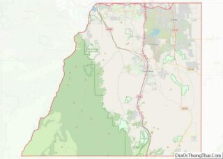
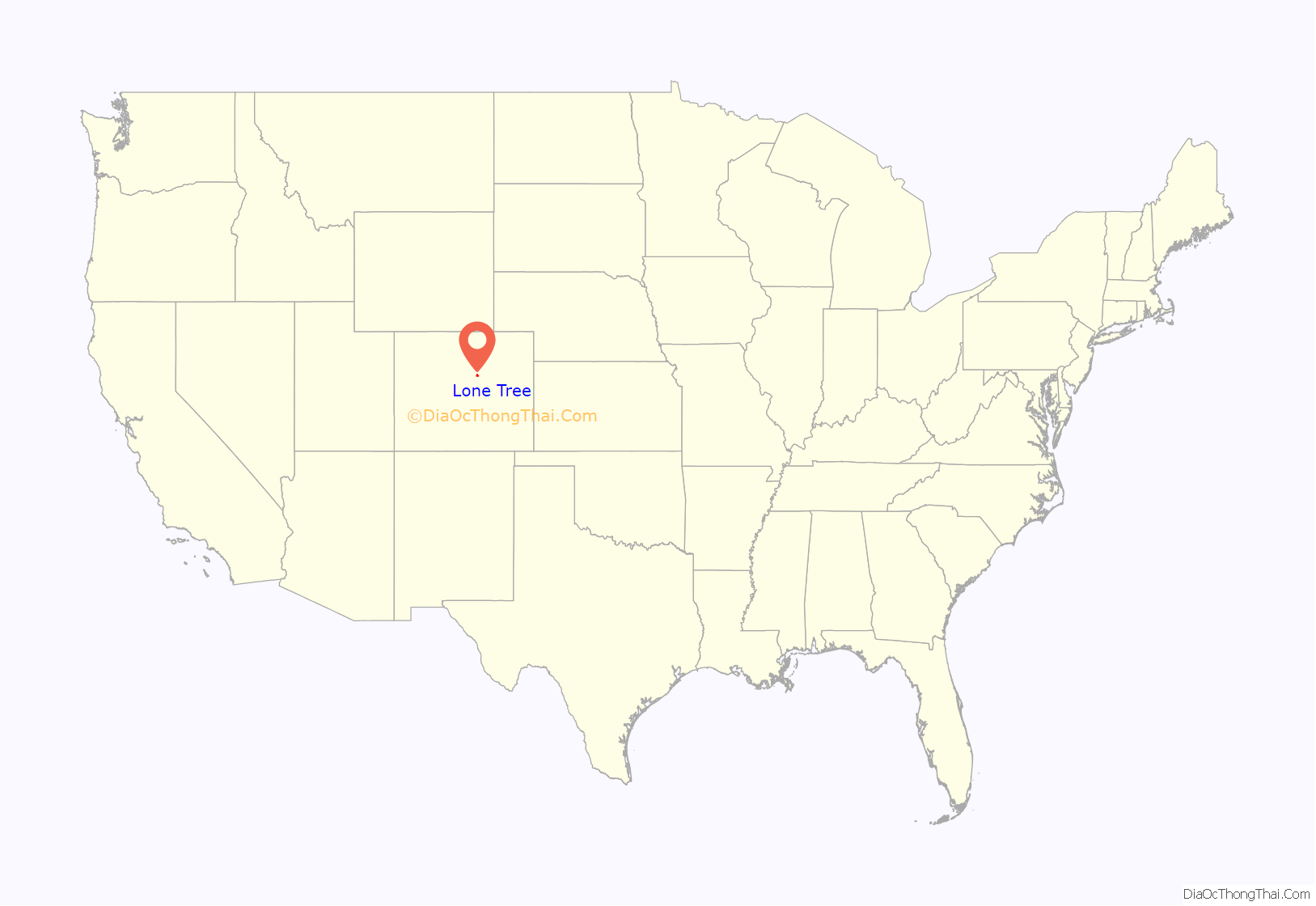
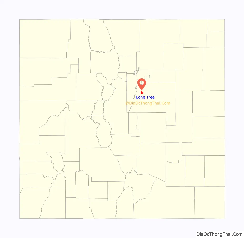
Lone Tree location map. Where is Lone Tree city?
Lone Tree Road Map
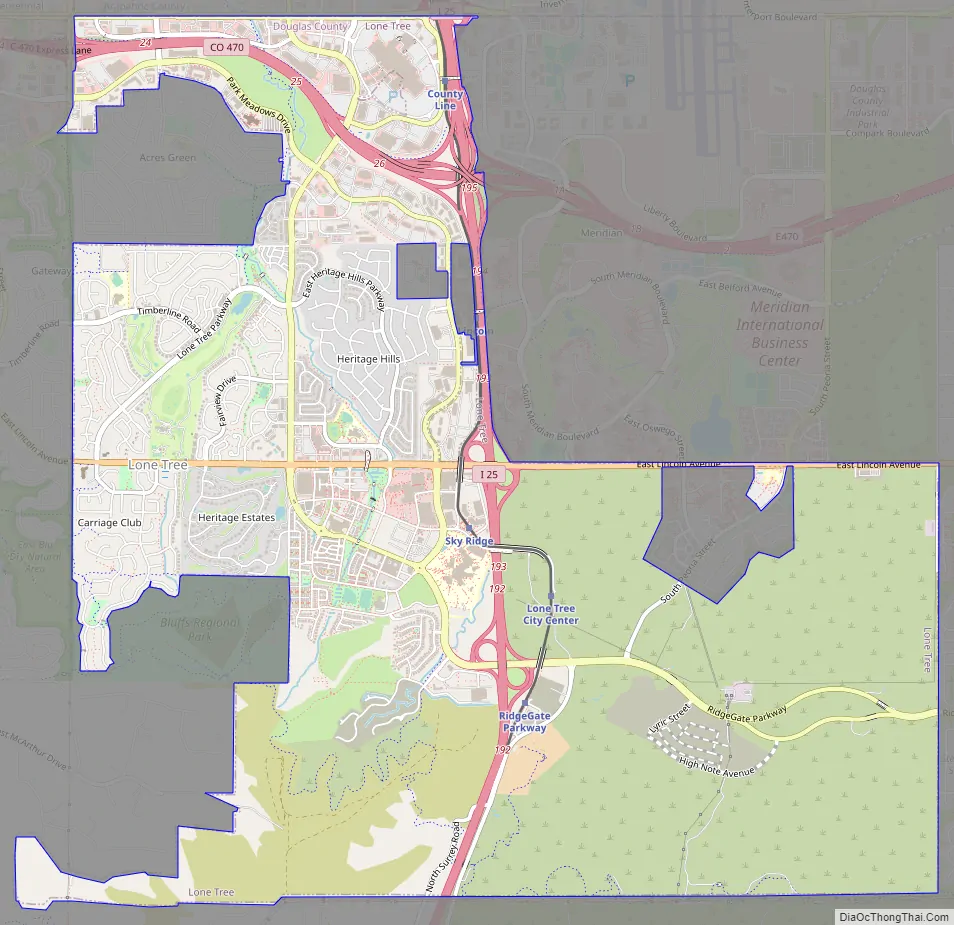
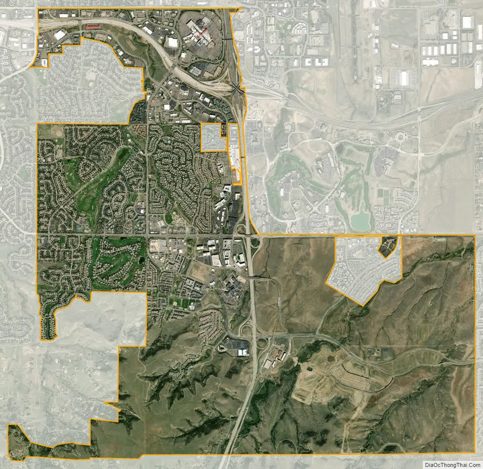
Lone Tree city Satellite Map
Geography
Lone Tree is located on the northern border of Douglas County, directly adjacent to Arapahoe County. It is in the South Metro area of Denver, located 18 miles (29 km) south of Denver’s downtown.
The city annexed the territory of the now-defunct University of Colorado South Denver’s campus, the former site of The Wildlife Experience, in 2017.
According to the United States Census Bureau, the city has a total area of 9.6 square miles (24.8 km), all of it land.
See also
Map of Colorado State and its subdivision:- Adams
- Alamosa
- Arapahoe
- Archuleta
- Baca
- Bent
- Boulder
- Broomfield
- Chaffee
- Cheyenne
- Clear Creek
- Conejos
- Costilla
- Crowley
- Custer
- Delta
- Denver
- Dolores
- Douglas
- Eagle
- El Paso
- Elbert
- Fremont
- Garfield
- Gilpin
- Grand
- Gunnison
- Hinsdale
- Huerfano
- Jackson
- Jefferson
- Kiowa
- Kit Carson
- La Plata
- Lake
- Larimer
- Las Animas
- Lincoln
- Logan
- Mesa
- Mineral
- Moffat
- Montezuma
- Montrose
- Morgan
- Otero
- Ouray
- Park
- Phillips
- Pitkin
- Prowers
- Pueblo
- Rio Blanco
- Rio Grande
- Routt
- Saguache
- San Juan
- San Miguel
- Sedgwick
- Summit
- Teller
- Washington
- Weld
- Yuma
- Alabama
- Alaska
- Arizona
- Arkansas
- California
- Colorado
- Connecticut
- Delaware
- District of Columbia
- Florida
- Georgia
- Hawaii
- Idaho
- Illinois
- Indiana
- Iowa
- Kansas
- Kentucky
- Louisiana
- Maine
- Maryland
- Massachusetts
- Michigan
- Minnesota
- Mississippi
- Missouri
- Montana
- Nebraska
- Nevada
- New Hampshire
- New Jersey
- New Mexico
- New York
- North Carolina
- North Dakota
- Ohio
- Oklahoma
- Oregon
- Pennsylvania
- Rhode Island
- South Carolina
- South Dakota
- Tennessee
- Texas
- Utah
- Vermont
- Virginia
- Washington
- West Virginia
- Wisconsin
- Wyoming