Alta is a city in Buena Vista County, Iowa, United States. The population was 2,087 at the 2020 census.
| Name: | Alta city |
|---|---|
| LSAD Code: | 25 |
| LSAD Description: | city (suffix) |
| State: | Iowa |
| County: | Buena Vista County |
| Elevation: | 1,490 ft (454 m) |
| Total Area: | 1.08 sq mi (2.79 km²) |
| Land Area: | 1.08 sq mi (2.79 km²) |
| Water Area: | 0.00 sq mi (0.00 km²) |
| Total Population: | 2,087 |
| Population Density: | 1,935.99/sq mi (747.30/km²) |
| ZIP code: | 51002 |
| Area code: | 712 |
| FIPS code: | 1901495 |
| GNISfeature ID: | 0454152 |
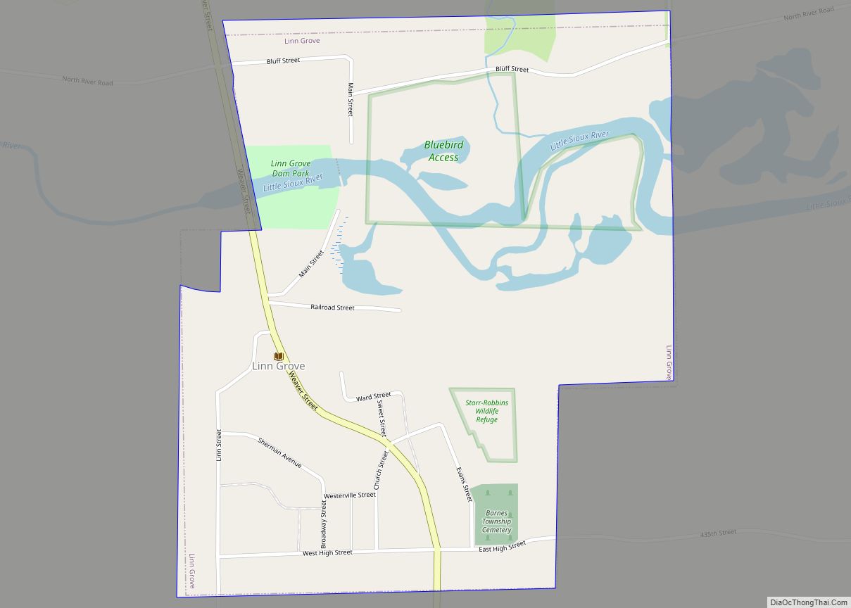
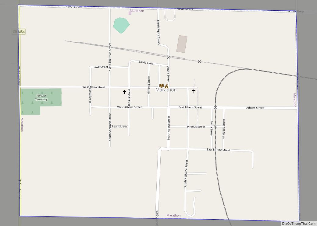
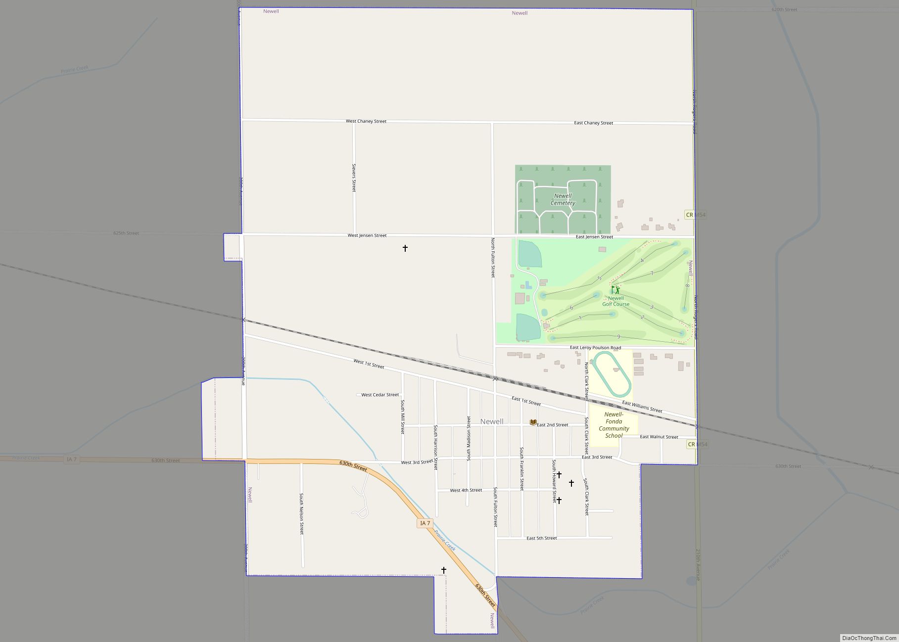
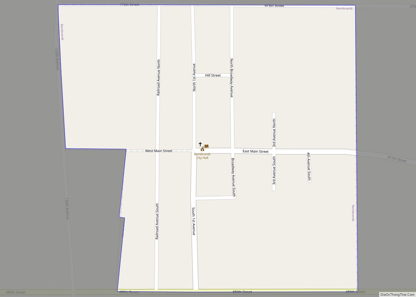
Online Interactive Map
Click on ![]() to view map in "full screen" mode.
to view map in "full screen" mode.
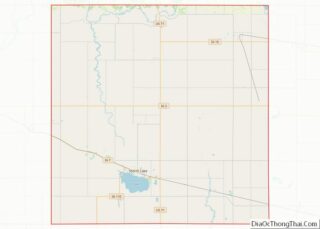
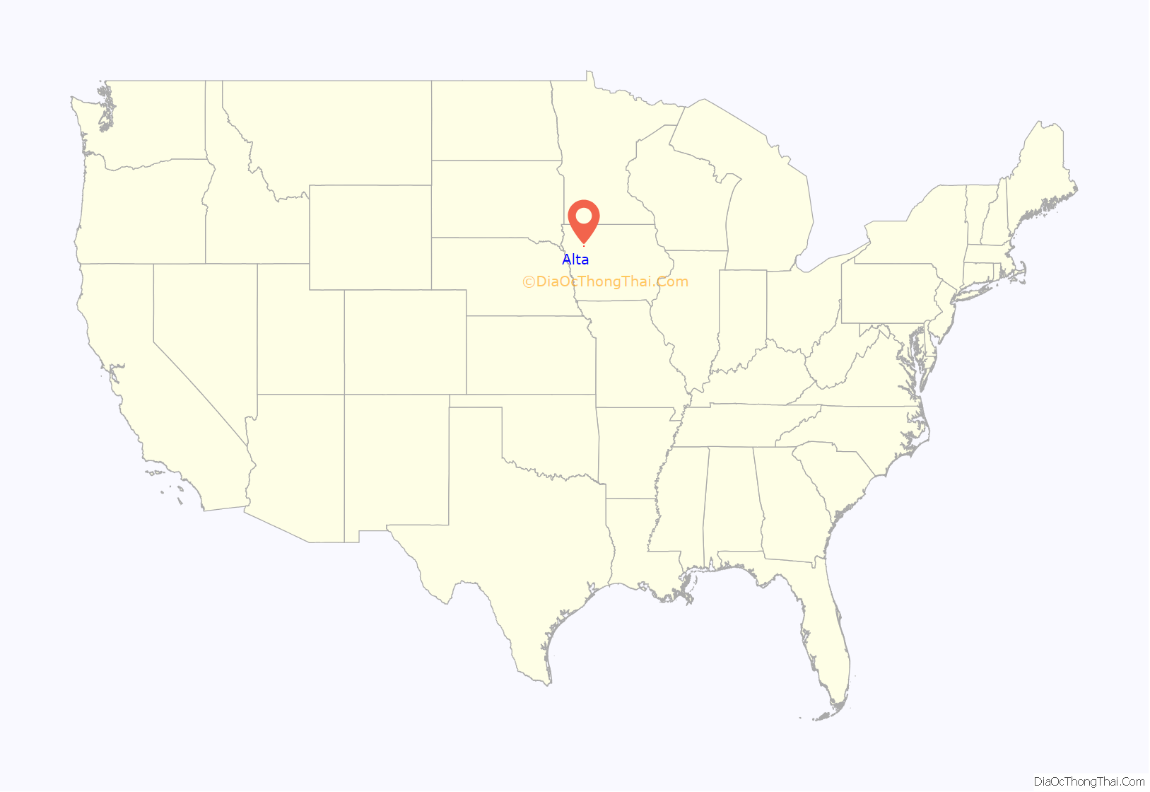
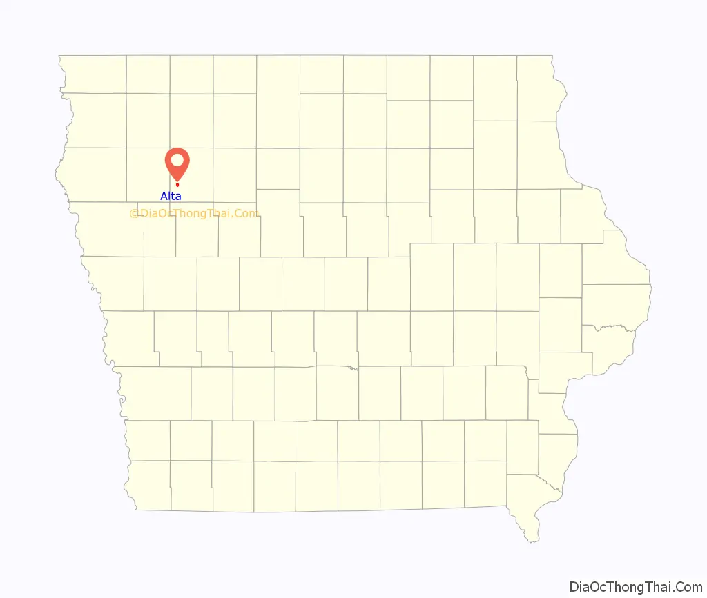
Alta location map. Where is Alta city?
History
Alta was platted in 1872, and it was incorporated in 1878. By 2004, Alta contained three general stores, two drug stores, two grocery stores, a shoe store, two hardware stores, a meat market, two lumber dealers, two agriculture implement dealers, bank two furniture stores, clothing store, barber shop, two saloons, music store, two jewelry stores, restaurant, four blacksmiths, two elevators, and a gristmill.
Halvor H. Peterson (1831–1917), Wisconsin State Assemblyman and farmer, lived in Alta.
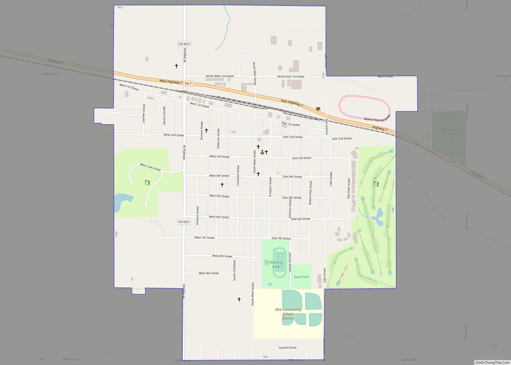
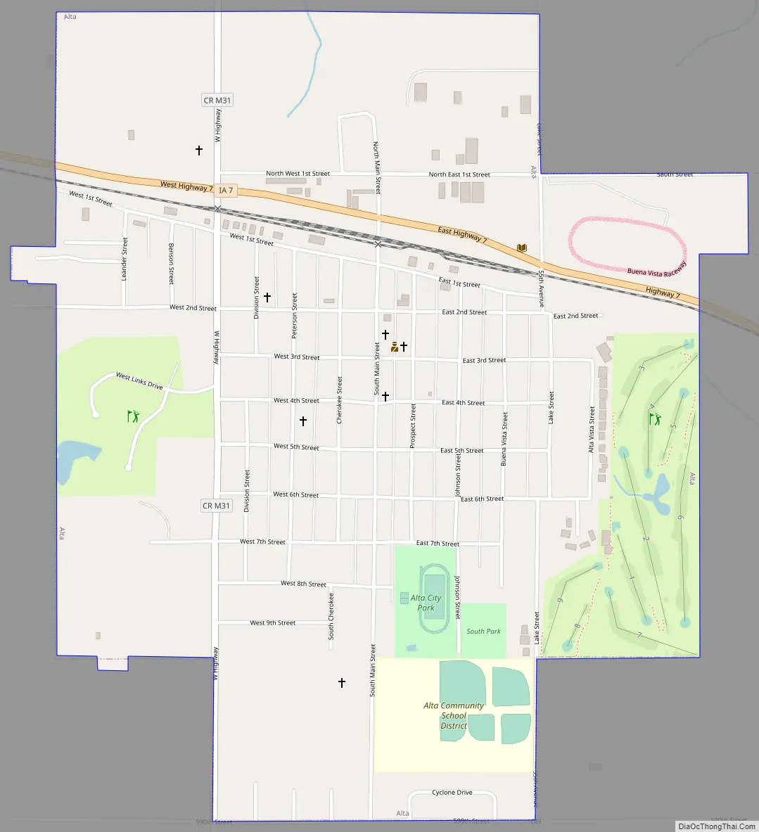
Alta Road Map
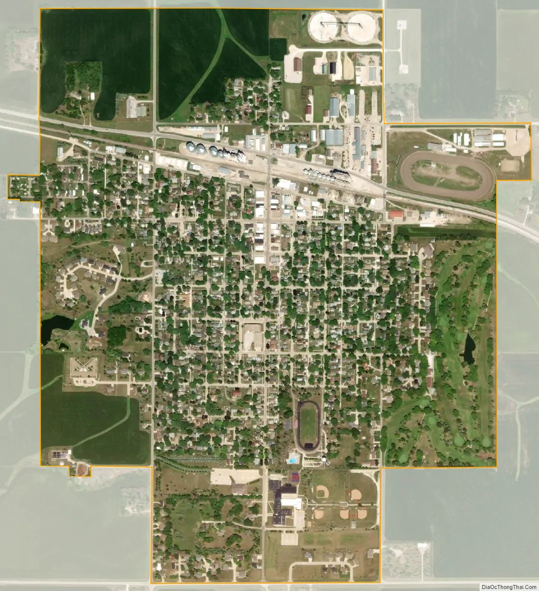
Alta city Satellite Map
Geography
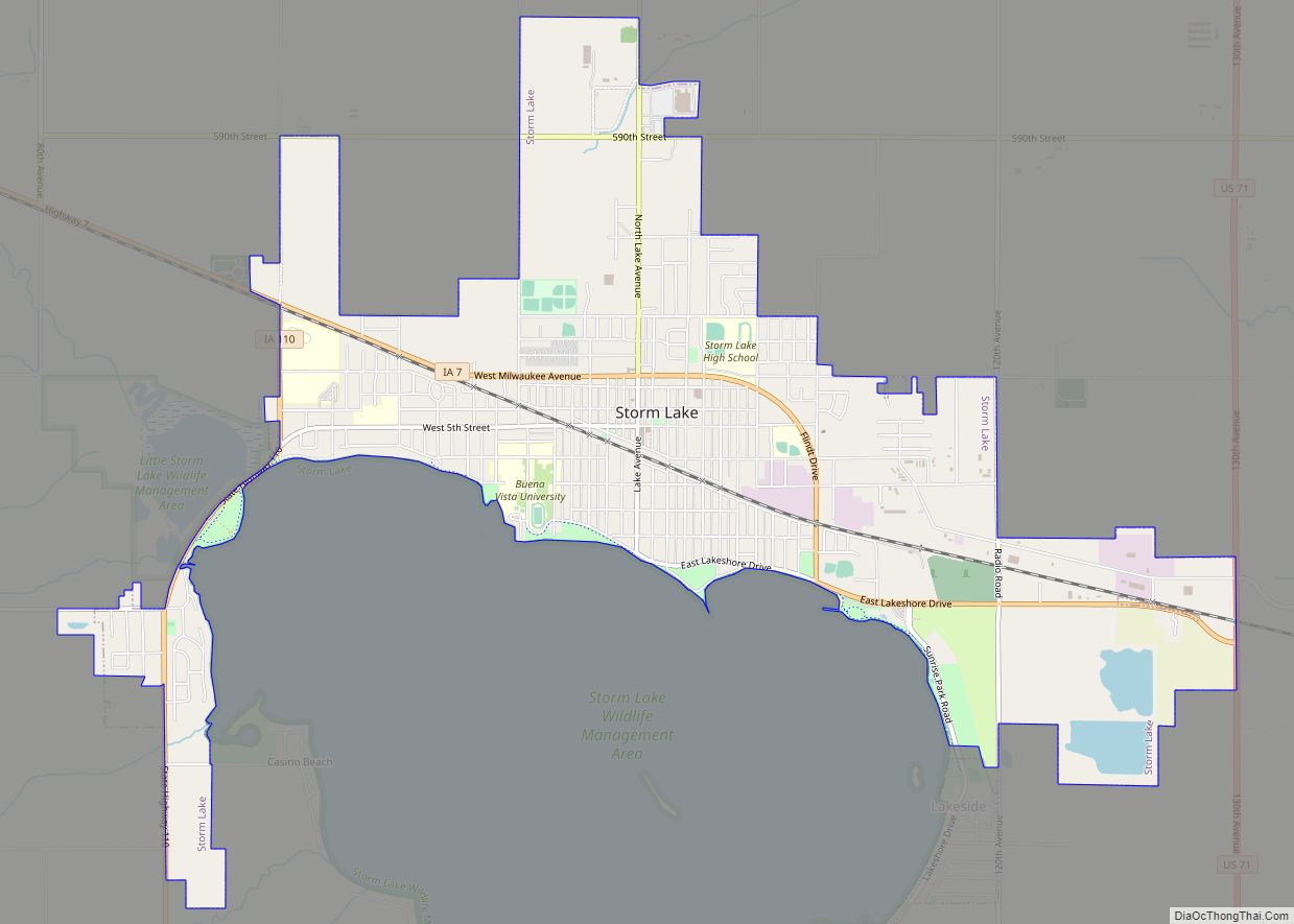
Alta is located at 42°40′19″N 95°18′17″W / 42.67194°N 95.30472°W / 42.67194; -95.30472 (42.672030, -95.304757). It is six miles from the city of Storm Lake and is approximately seven miles from Aurelia, and is located on Highway 7.
According to the United States Census Bureau, the city has a total area of 1.07 square miles (2.77 km), all land.
See also
Map of Iowa State and its subdivision:- Adair
- Adams
- Allamakee
- Appanoose
- Audubon
- Benton
- Black Hawk
- Boone
- Bremer
- Buchanan
- Buena Vista
- Butler
- Calhoun
- Carroll
- Cass
- Cedar
- Cerro Gordo
- Cherokee
- Chickasaw
- Clarke
- Clay
- Clayton
- Clinton
- Crawford
- Dallas
- Davis
- Decatur
- Delaware
- Des Moines
- Dickinson
- Dubuque
- Emmet
- Fayette
- Floyd
- Franklin
- Fremont
- Greene
- Grundy
- Guthrie
- Hamilton
- Hancock
- Hardin
- Harrison
- Henry
- Howard
- Humboldt
- Ida
- Iowa
- Jackson
- Jasper
- Jefferson
- Johnson
- Jones
- Keokuk
- Kossuth
- Lee
- Linn
- Louisa
- Lucas
- Lyon
- Madison
- Mahaska
- Marion
- Marshall
- Mills
- Mitchell
- Monona
- Monroe
- Montgomery
- Muscatine
- O'Brien
- Osceola
- Page
- Palo Alto
- Plymouth
- Pocahontas
- Polk
- Pottawattamie
- Poweshiek
- Ringgold
- Sac
- Scott
- Shelby
- Sioux
- Story
- Tama
- Taylor
- Union
- Van Buren
- Wapello
- Warren
- Washington
- Wayne
- Webster
- Winnebago
- Winneshiek
- Woodbury
- Worth
- Wright
- Alabama
- Alaska
- Arizona
- Arkansas
- California
- Colorado
- Connecticut
- Delaware
- District of Columbia
- Florida
- Georgia
- Hawaii
- Idaho
- Illinois
- Indiana
- Iowa
- Kansas
- Kentucky
- Louisiana
- Maine
- Maryland
- Massachusetts
- Michigan
- Minnesota
- Mississippi
- Missouri
- Montana
- Nebraska
- Nevada
- New Hampshire
- New Jersey
- New Mexico
- New York
- North Carolina
- North Dakota
- Ohio
- Oklahoma
- Oregon
- Pennsylvania
- Rhode Island
- South Carolina
- South Dakota
- Tennessee
- Texas
- Utah
- Vermont
- Virginia
- Washington
- West Virginia
- Wisconsin
- Wyoming