Beaconsfield is a city in Ringgold County, Iowa, United States. The population was 15 in the 2020 census, unchanged from 2010 and an increase from 11 in 2000. In the 2000 census Beaconsfield was the least populated incorporated city in Iowa; with the increase in the 2020 census, it is now the second smallest, after with Le Roy.
| Name: | Beaconsfield city |
|---|---|
| LSAD Code: | 25 |
| LSAD Description: | city (suffix) |
| State: | Iowa |
| County: | Ringgold County |
| Elevation: | 1,211 ft (369 m) |
| Total Area: | 0.73 sq mi (1.89 km²) |
| Land Area: | 0.73 sq mi (1.89 km²) |
| Water Area: | 0.00 sq mi (0.00 km²) |
| Total Population: | 15 |
| Population Density: | 20.58/sq mi (7.95/km²) |
| ZIP code: | 50074 |
| Area code: | 641 |
| FIPS code: | 1905095 |
| GNISfeature ID: | 0454399 |
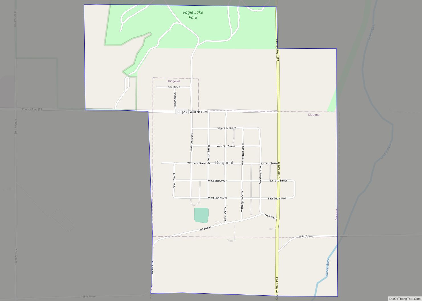
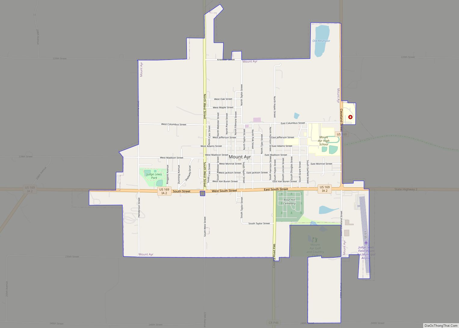
Online Interactive Map
Click on ![]() to view map in "full screen" mode.
to view map in "full screen" mode.
Beaconsfield location map. Where is Beaconsfield city?
History
Beaconsfield started when the Humeston and Shenandoah Railroad built a train station. In 1881 a town company laid it out as a village. A post office was established in 1882 and closed in 1993.
The town was incorporated on January 18, 1990.
The community was named after Lord Beaconsfield of England.
The Hy-Vee grocery chain has its origin in the Beaconsfield Supply Store, a general store opened by Charles Hyde and David Vredenburg in 1930. That location is on the National Register of Historic Places.
On May 23, 1981, a tornado touched down southwest of Beaconsfield for 15.9 miles. It was rated F2
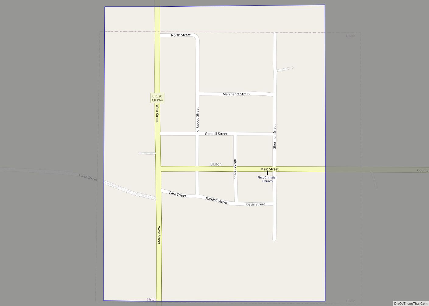
Beaconsfield Road Map
Beaconsfield city Satellite Map
Geography
Beaconsfield’s longitude and latitude are 40.807958, -94.050634.
According to the United States Census Bureau, the city has a total area of 0.72 square miles (1.86 km), all land.
The elevation of Beaconsfield is 1210 feet above sea level.
See also
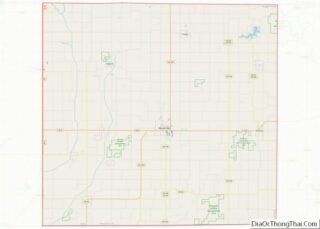
Map of Iowa State and its subdivision:- Adair
- Adams
- Allamakee
- Appanoose
- Audubon
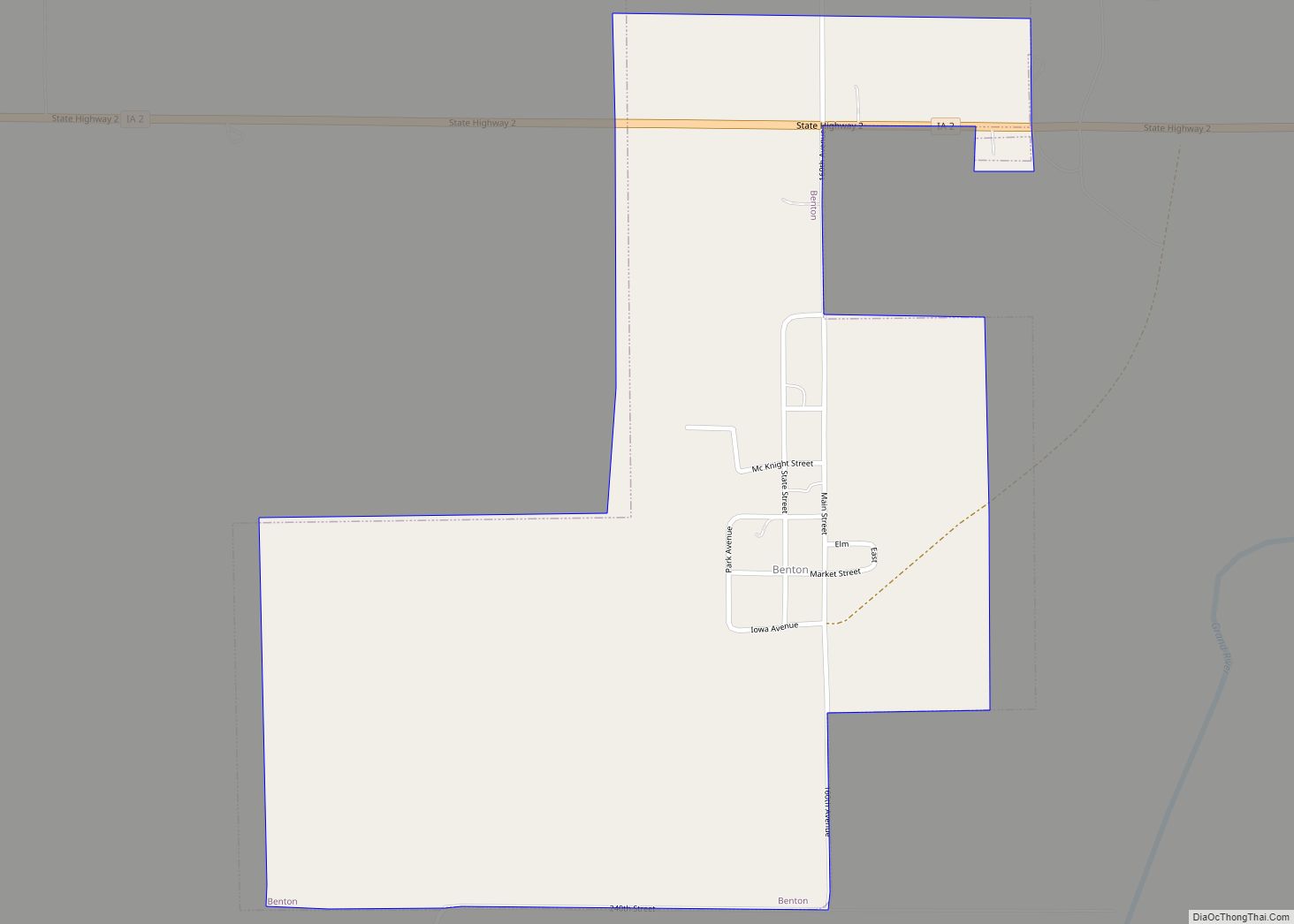
- Benton
- Black Hawk
- Boone
- Bremer
- Buchanan
- Buena Vista
- Butler
- Calhoun
- Carroll
- Cass
- Cedar
- Cerro Gordo
- Cherokee
- Chickasaw
- Clarke
- Clay
- Clayton
- Clinton
- Crawford
- Dallas
- Davis
- Decatur
- Delaware
- Des Moines
- Dickinson
- Dubuque
- Emmet
- Fayette
- Floyd
- Franklin
- Fremont
- Greene
- Grundy
- Guthrie
- Hamilton
- Hancock
- Hardin
- Harrison
- Henry
- Howard
- Humboldt
- Ida
- Iowa
- Jackson
- Jasper
- Jefferson
- Johnson
- Jones
- Keokuk
- Kossuth
- Lee
- Linn
- Louisa
- Lucas
- Lyon
- Madison
- Mahaska
- Marion
- Marshall
- Mills
- Mitchell
- Monona
- Monroe
- Montgomery
- Muscatine
- O'Brien
- Osceola
- Page
- Palo Alto
- Plymouth
- Pocahontas
- Polk
- Pottawattamie
- Poweshiek
- Ringgold
- Sac
- Scott
- Shelby
- Sioux
- Story
- Tama
- Taylor
- Union
- Van Buren
- Wapello
- Warren
- Washington
- Wayne
- Webster
- Winnebago
- Winneshiek
- Woodbury
- Worth
- Wright
- Alabama
- Alaska
- Arizona
- Arkansas
- California
- Colorado
- Connecticut
- Delaware
- District of Columbia
- Florida
- Georgia
- Hawaii
- Idaho
- Illinois
- Indiana
- Iowa
- Kansas
- Kentucky
- Louisiana
- Maine
- Maryland
- Massachusetts
- Michigan
- Minnesota
- Mississippi
- Missouri
- Montana
- Nebraska
- Nevada
- New Hampshire
- New Jersey
- New Mexico
- New York
- North Carolina
- North Dakota
- Ohio
- Oklahoma
- Oregon
- Pennsylvania
- Rhode Island
- South Carolina
- South Dakota
- Tennessee
- Texas
- Utah
- Vermont
- Virginia
- Washington
- West Virginia
- Wisconsin
- Wyoming