Brighton is a city in Washington County, Iowa, United States. It’s part of the Iowa City, Iowa Metropolitan Statistical Area. The population was 600 at the 2020 census.
| Name: | Brighton city |
|---|---|
| LSAD Code: | 25 |
| LSAD Description: | city (suffix) |
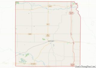
| State: | Iowa |
| County: | Washington County |
| Elevation: | 755 ft (230 m) |
| Total Area: | 0.78 sq mi (2.03 km²) |
| Land Area: | 0.78 sq mi (2.03 km²) |
| Water Area: | 0.00 sq mi (0.00 km²) |
| Total Population: | 600 |
| Population Density: | 767.26/sq mi (296.15/km²) |
| ZIP code: | 52540 |
| Area code: | 319 |
| FIPS code: | 1908470 |
| GNISfeature ID: | 0454825 |
| Website: | www.brightoniowa.com |
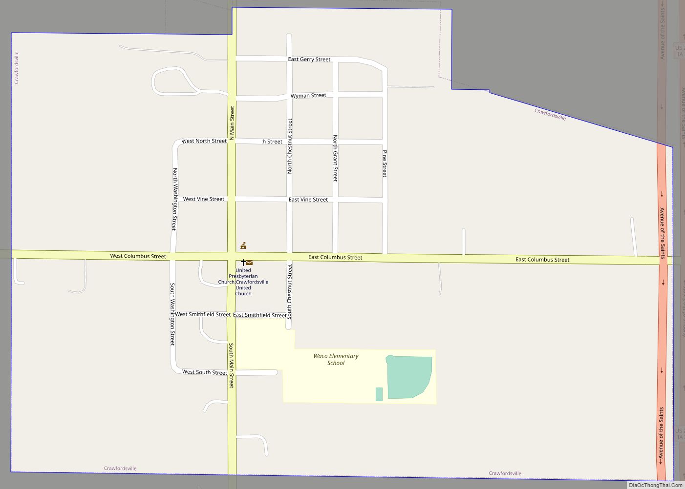
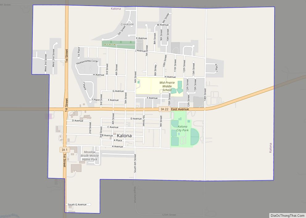
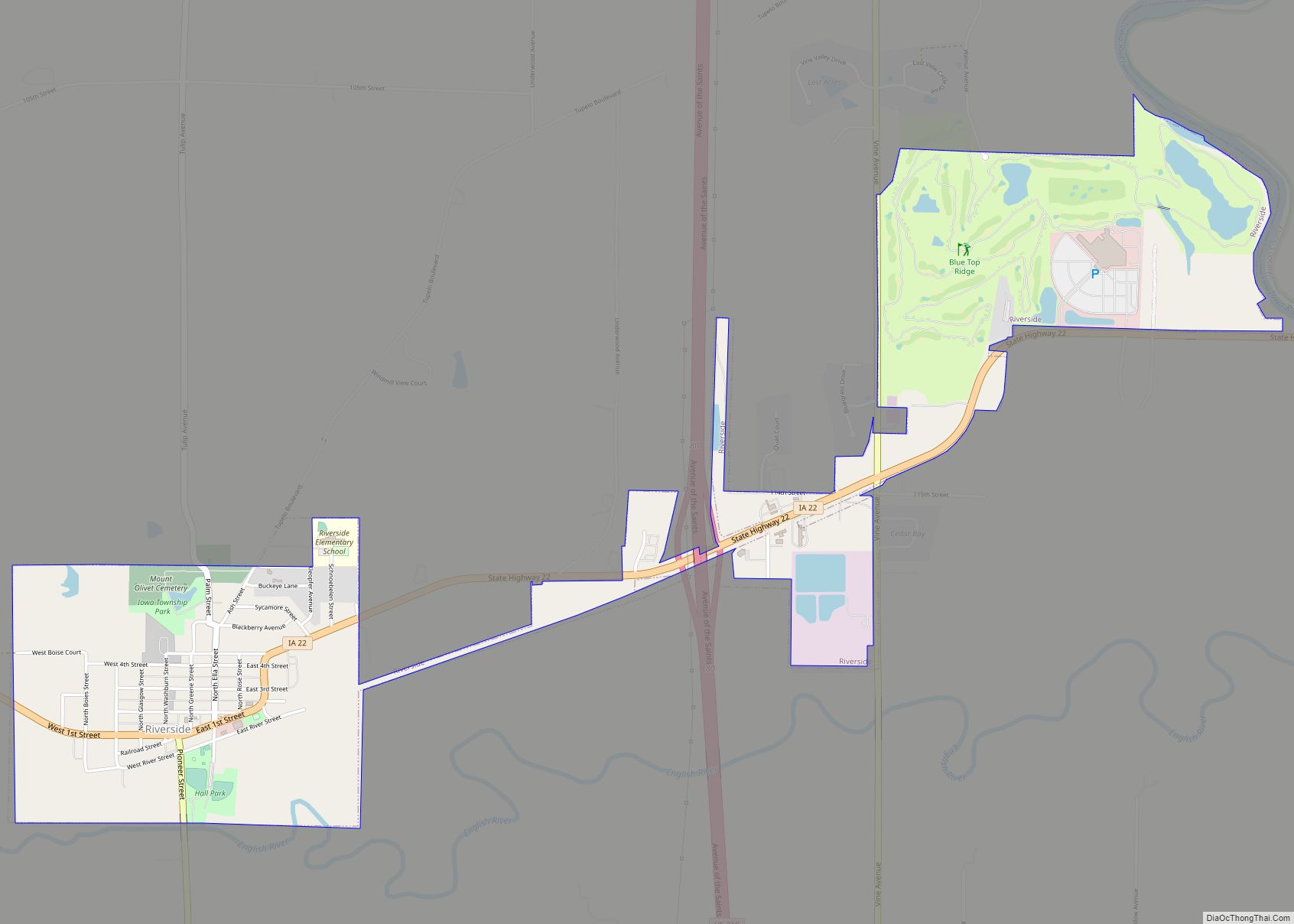
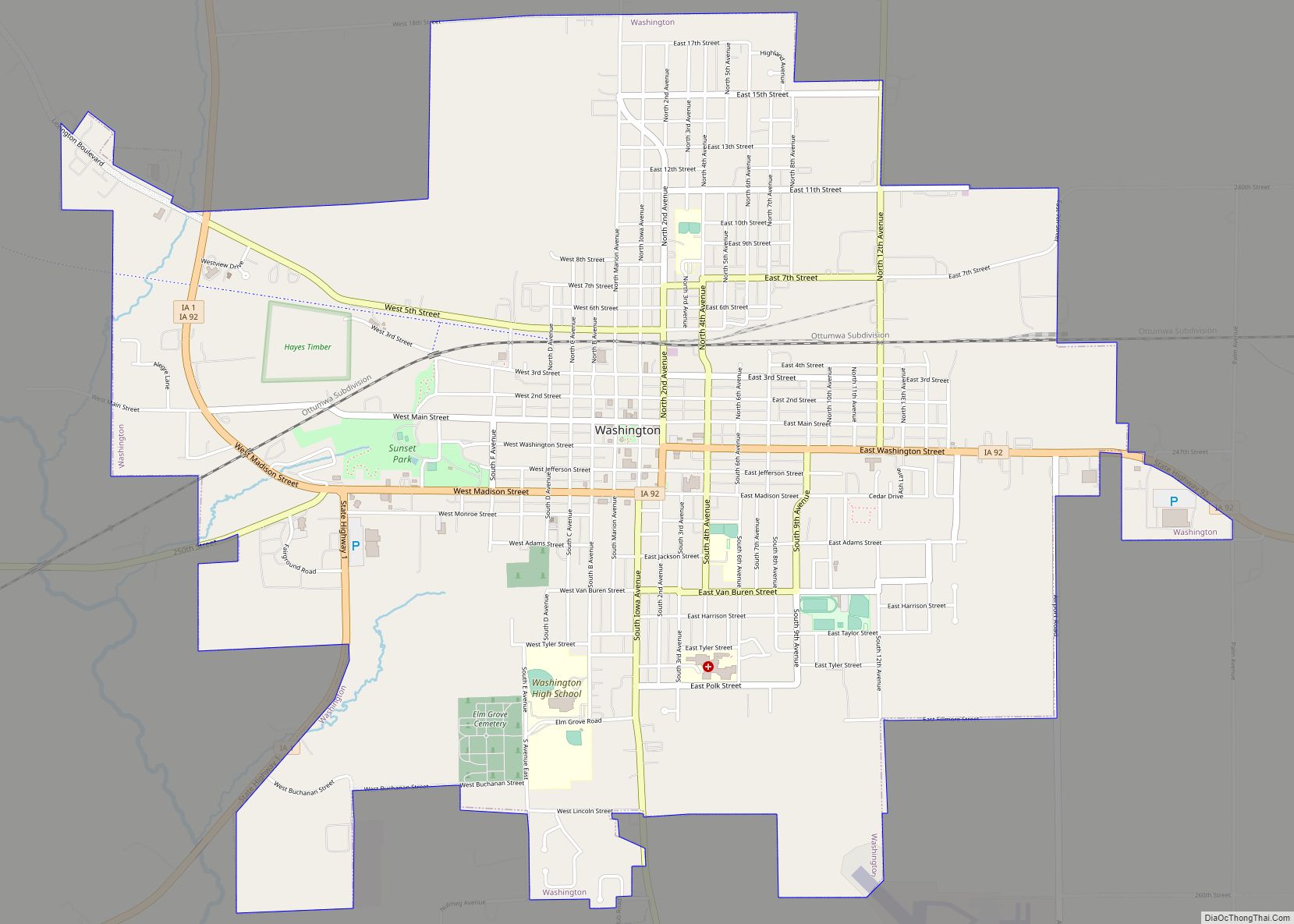
Online Interactive Map
Click on ![]() to view map in "full screen" mode.
to view map in "full screen" mode.
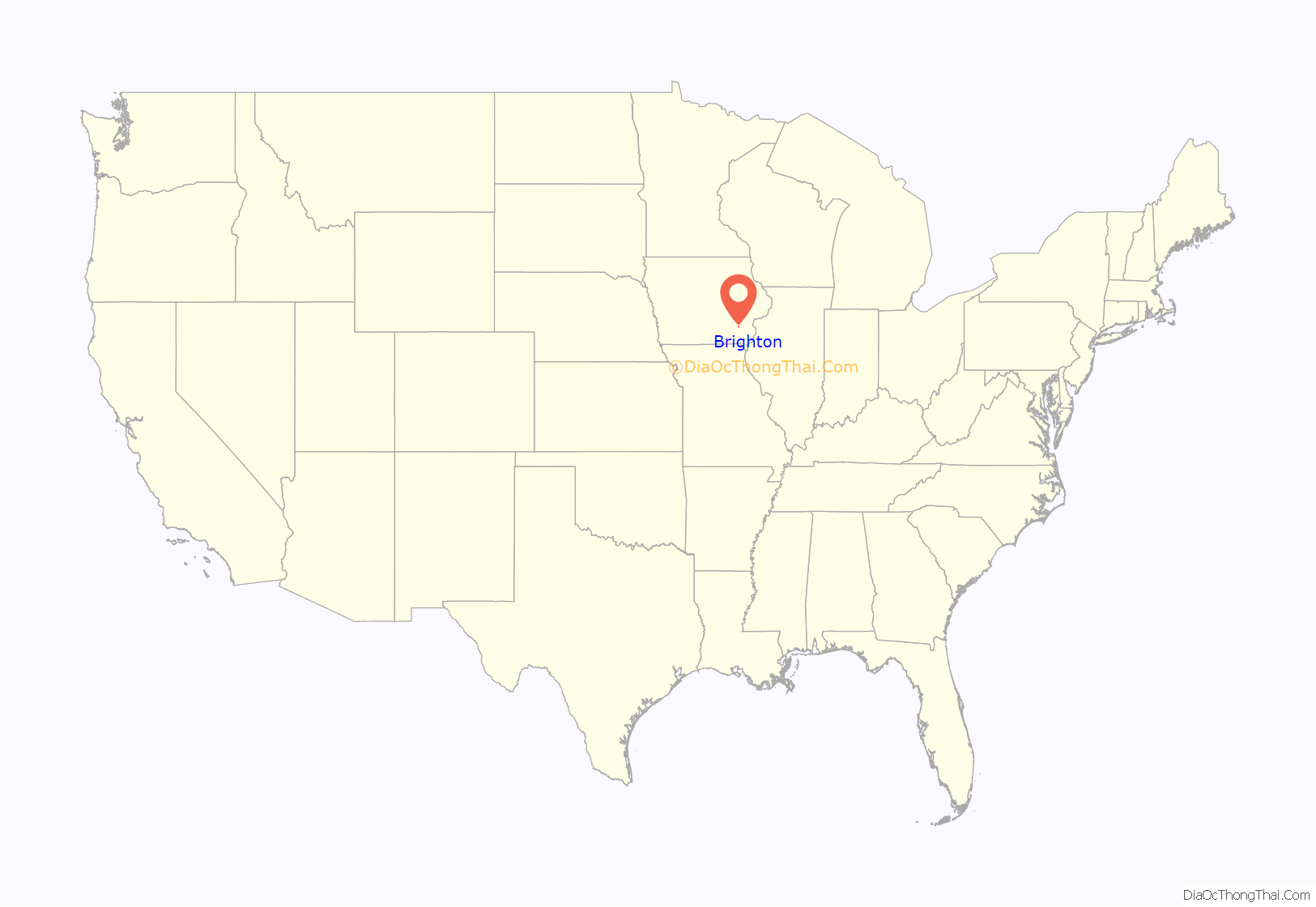
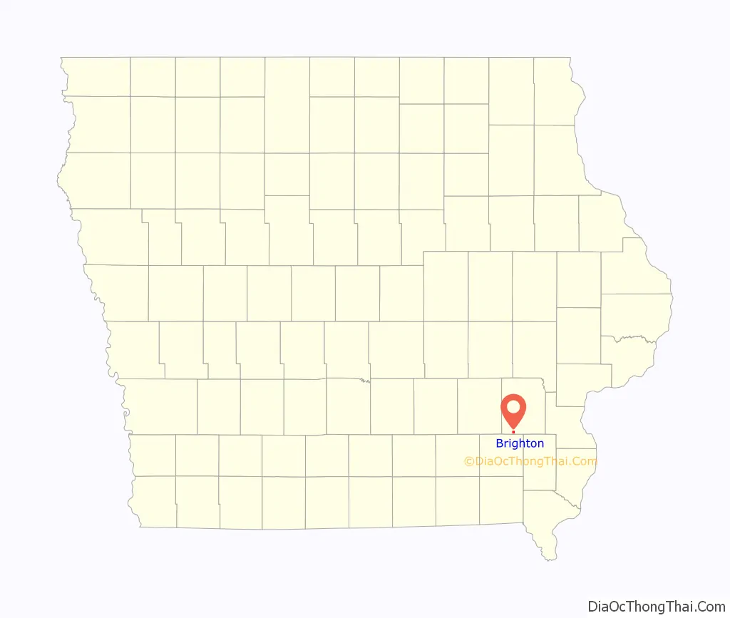
Brighton location map. Where is Brighton city?
History
Brighton was laid out in 1840. During the 1840s and 1850 quickly developed into one of the largest centres of hog production west of the Mississippi. In 1851, David Powers discovered the fossil remains of a Mastodon. The fossil was three and a half feet long, fourteen inches wide at the larger end, and weighed eighty-three pounds. In 1854 Brighton was sorely afflicted by the Cholera.
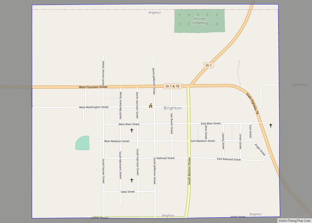
In 1882, the Iowa Central Railway and the narrow-gauge Burlington and Western Railway battled for right-of-way as they built west from Coppock toward Brighton. At several points, crews for the rival railroads tore up tracks the other had put down. The line through Brighton was originally platted as a street, 3 blocks south of the business district. The B&W reached Brighton in mid 1882 and claimed the entire street as its right-of way. After vandalism, arrests and court battles, the two lines built parallel tracks down the street (with the B&W claiming the center line) to their crossing west of town. This has been described as the Brighton Railroad War. Both lines crossed the Chicago, Rock Island and Pacific Railroad on the east side of town. The Burlington and Western was later widened and taken over by the Chicago, Burlington and Quincy and the Iowa Central was taken over by the Minneapolis and St. Louis.
There were three railroad depots in town. The Burlington and Western (after 1902, the Chicago, Burlington and Quincy) depot was on the east side of town, at the south end of Liberty St. The Iowa Central (after 1901, the Minneapolis and St. Louis) depot was on the west side, between Mechanic St. and Harrison St. The Rock Island depot was several blocks south, also between Mechanic and Harrison. The Rock Island had a stockyard west of its depot, while the Burlington and Western stockyard was east of its depot.
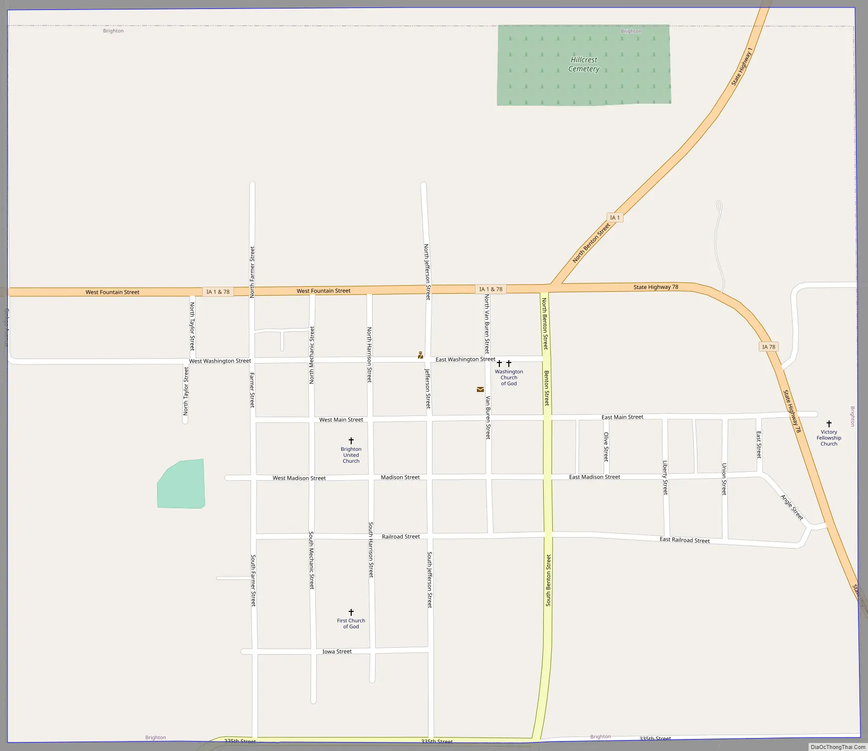
Brighton Road Map
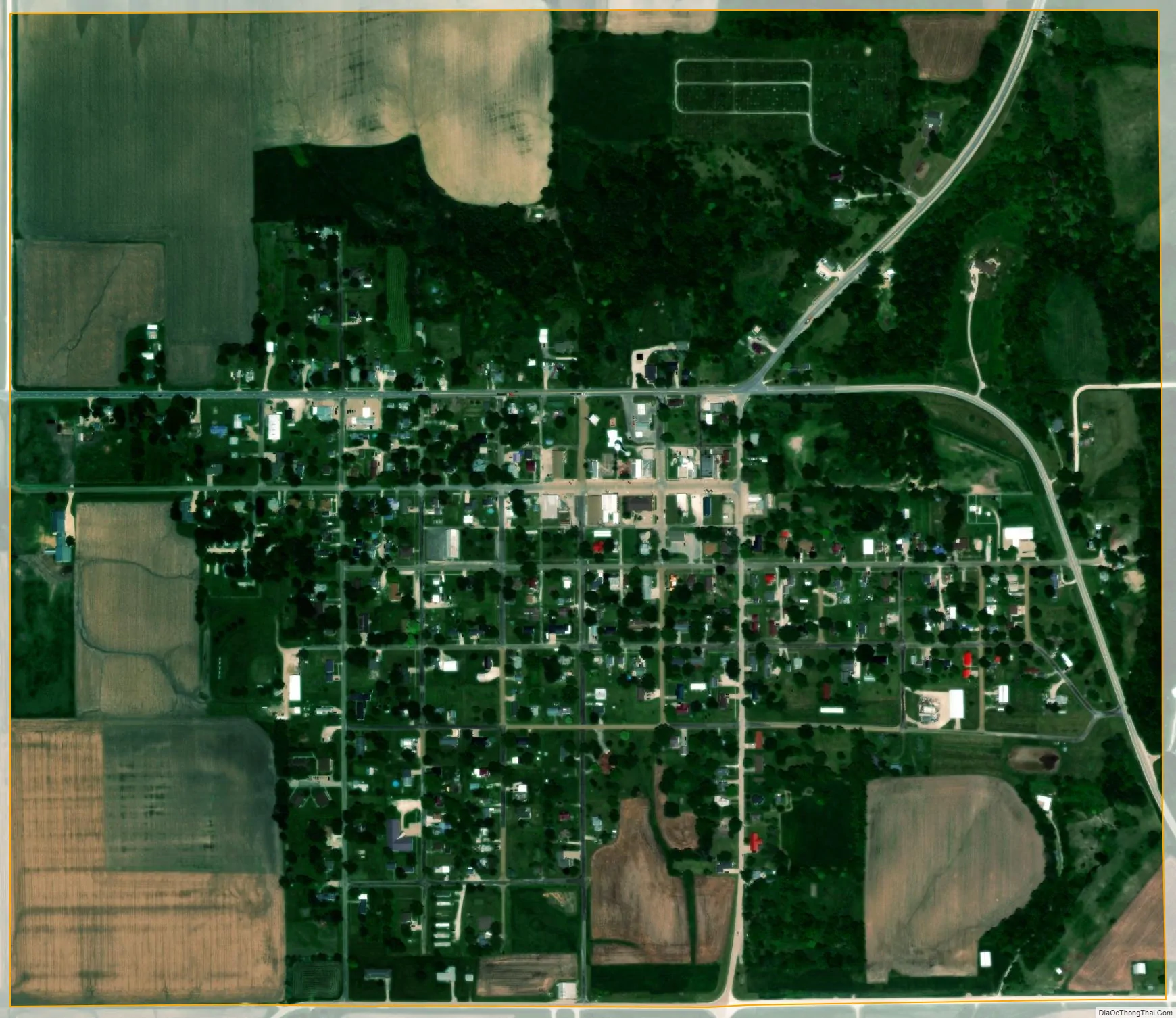
Brighton city Satellite Map
Geography
Brighton is located at 41°10′24″N 91°49′15″W / 41.17333°N 91.82083°W / 41.17333; -91.82083 (41.173361, -91.820784).
According to the United States Census Bureau, the city has a total area of 0.71 square miles (1.84 km), all of it land.
Brighton is located where Iowa State Road 78 and Iowa State Road 1 meet and is located near the Skunk River and near Lake Darling State Park.
See also
Map of Iowa State and its subdivision:- Adair
- Adams
- Allamakee
- Appanoose
- Audubon
- Benton
- Black Hawk
- Boone
- Bremer
- Buchanan
- Buena Vista
- Butler
- Calhoun
- Carroll
- Cass
- Cedar
- Cerro Gordo
- Cherokee
- Chickasaw
- Clarke
- Clay
- Clayton
- Clinton
- Crawford
- Dallas
- Davis
- Decatur
- Delaware
- Des Moines
- Dickinson
- Dubuque
- Emmet
- Fayette
- Floyd
- Franklin
- Fremont
- Greene
- Grundy
- Guthrie
- Hamilton
- Hancock
- Hardin
- Harrison
- Henry
- Howard
- Humboldt
- Ida
- Iowa
- Jackson
- Jasper
- Jefferson
- Johnson
- Jones
- Keokuk
- Kossuth
- Lee
- Linn
- Louisa
- Lucas
- Lyon
- Madison
- Mahaska
- Marion
- Marshall
- Mills
- Mitchell
- Monona
- Monroe
- Montgomery
- Muscatine
- O'Brien
- Osceola
- Page
- Palo Alto
- Plymouth
- Pocahontas
- Polk
- Pottawattamie
- Poweshiek
- Ringgold
- Sac
- Scott
- Shelby
- Sioux
- Story
- Tama
- Taylor
- Union
- Van Buren
- Wapello
- Warren
- Washington
- Wayne
- Webster
- Winnebago
- Winneshiek
- Woodbury
- Worth
- Wright
- Alabama
- Alaska
- Arizona
- Arkansas
- California
- Colorado
- Connecticut
- Delaware
- District of Columbia
- Florida
- Georgia
- Hawaii
- Idaho
- Illinois
- Indiana
- Iowa
- Kansas
- Kentucky
- Louisiana
- Maine
- Maryland
- Massachusetts
- Michigan
- Minnesota
- Mississippi
- Missouri
- Montana
- Nebraska
- Nevada
- New Hampshire
- New Jersey
- New Mexico
- New York
- North Carolina
- North Dakota
- Ohio
- Oklahoma
- Oregon
- Pennsylvania
- Rhode Island
- South Carolina
- South Dakota
- Tennessee
- Texas
- Utah
- Vermont
- Virginia
- Washington
- West Virginia
- Wisconsin
- Wyoming