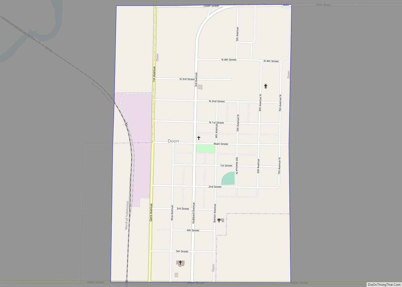
Doon is a city in Lyon County, Iowa, United States, along the Rock River. The population was 619 at the time of the 2020 census. The BNSF Railway passes through Doon.
| Name: | Doon city |
|---|---|
| LSAD Code: | 25 |
| LSAD Description: | city (suffix) |
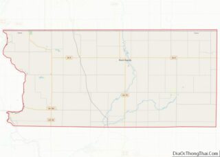
| State: | Iowa |
| County: | Lyon County |
| Incorporated: | 1892 |
| Elevation: | 1,296 ft (395 m) |
| Total Area: | 0.70 sq mi (1.82 km²) |
| Land Area: | 0.70 sq mi (1.82 km²) |
| Water Area: | 0.00 sq mi (0.00 km²) |
| Total Population: | 619 |
| Population Density: | 881.77/sq mi (340.59/km²) |
| ZIP code: | 51235 |
| Area code: | 712 |
| FIPS code: | 1921900 |
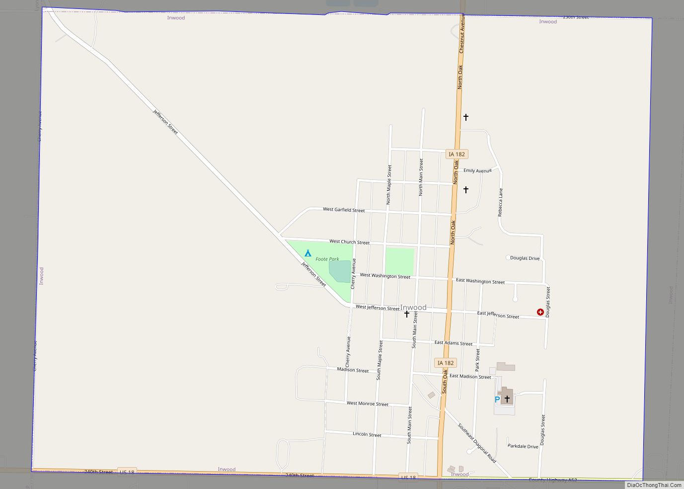
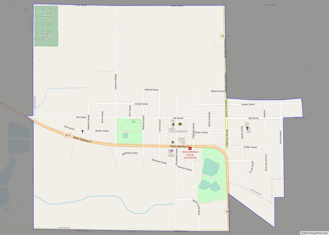
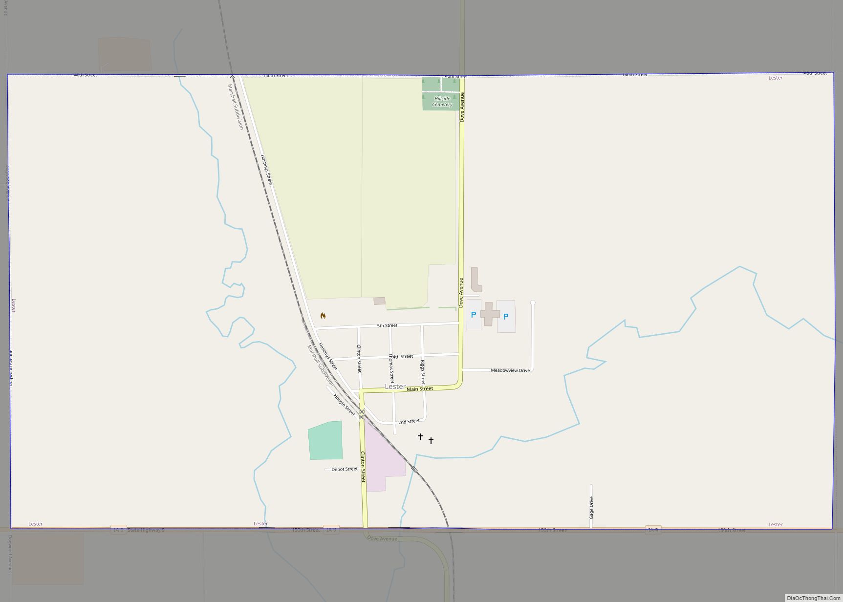
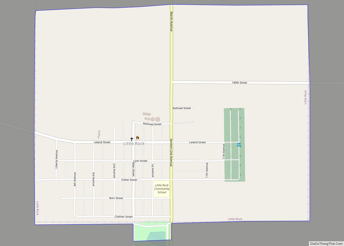
Online Interactive Map
Click on ![]() to view map in "full screen" mode.
to view map in "full screen" mode.
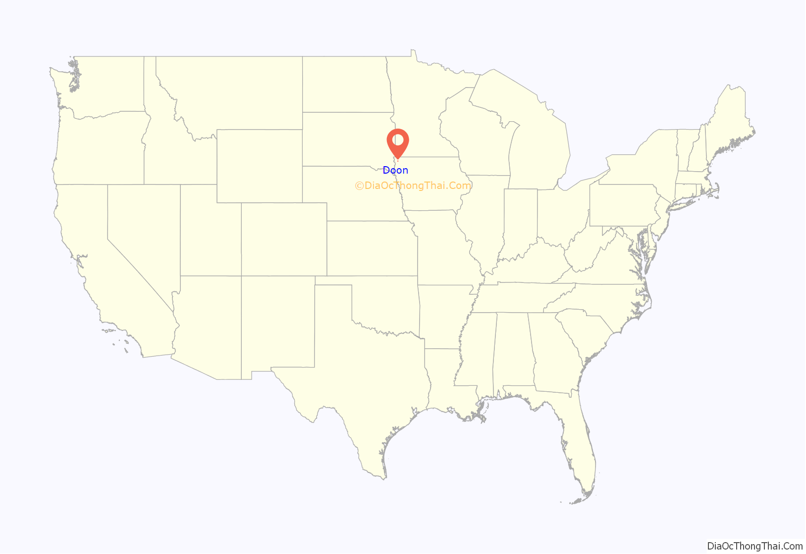
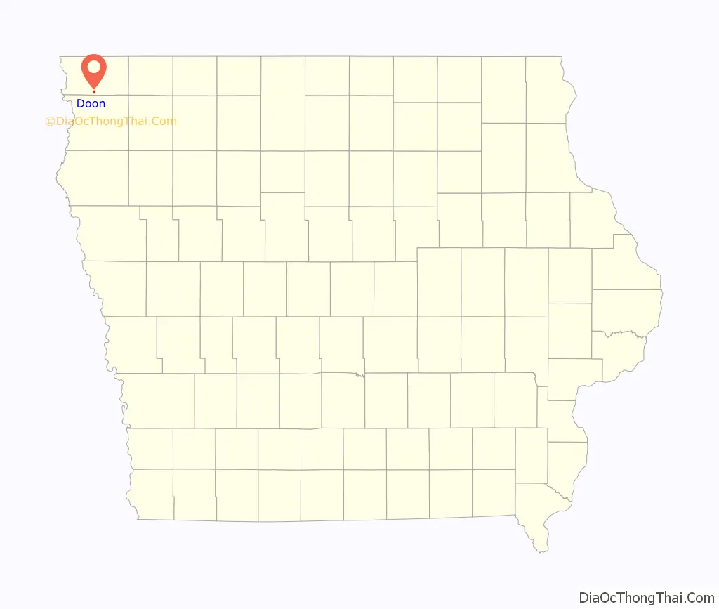
Doon location map. Where is Doon city?
History
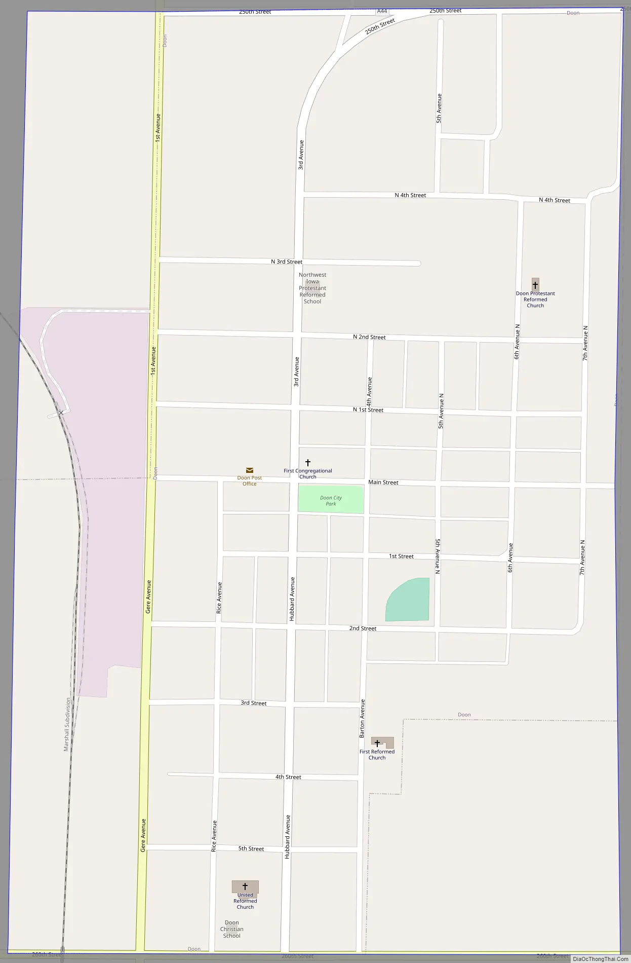
Located on a plateau on the eastern bank of the Rock River, the city was named after the River Doon in Scotland, made famous as the subject of Robert Burns’ poem, “The Banks O’ Doon”. Founded by G. W. Bowers and A. H. Davison on September 6, 1889, the railway town was connected first by the Rock Valley Railway, followed by the Iowa & Dakota Railroad. The city was incorporated on March 8, 1892.
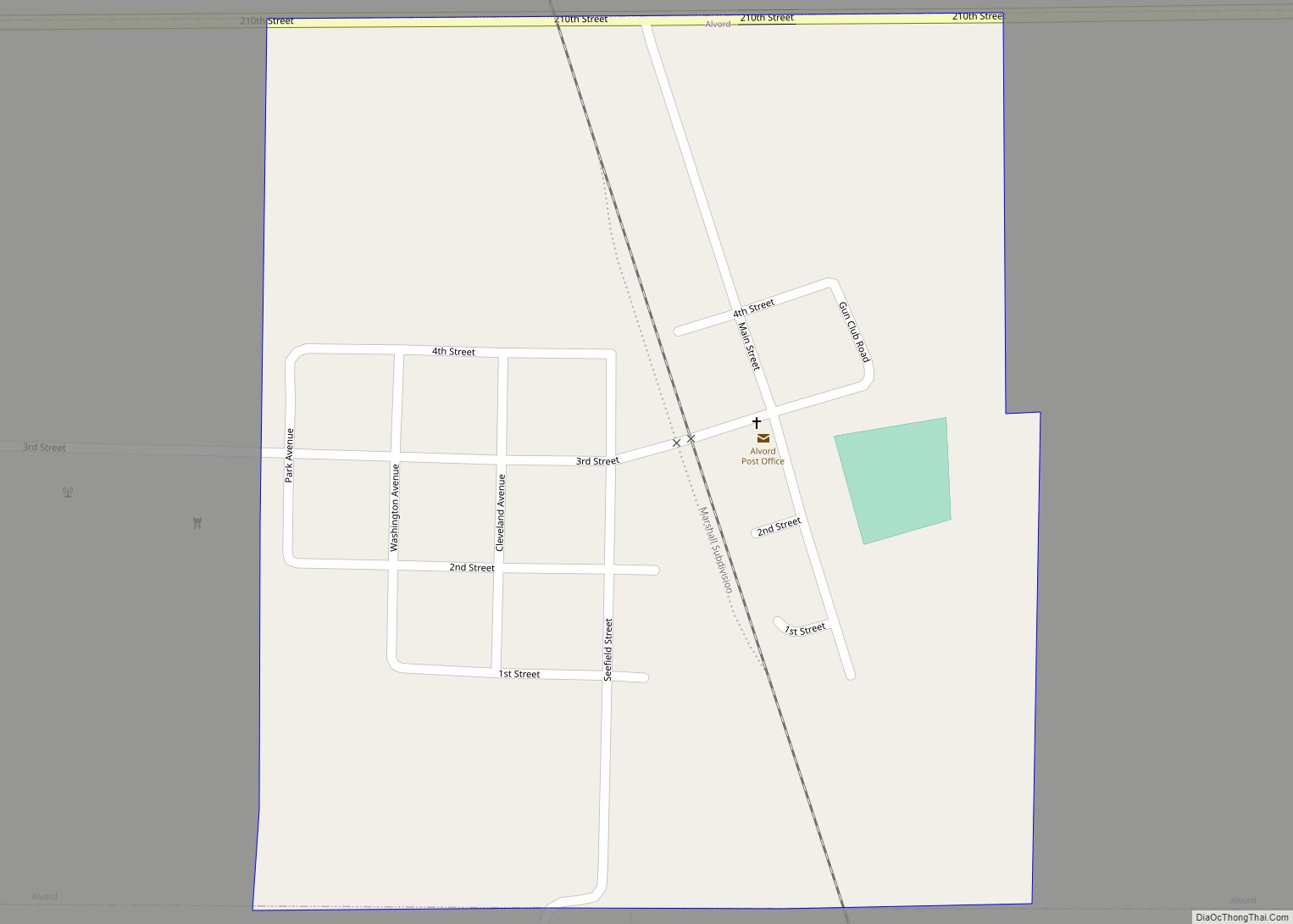
Doon Road Map
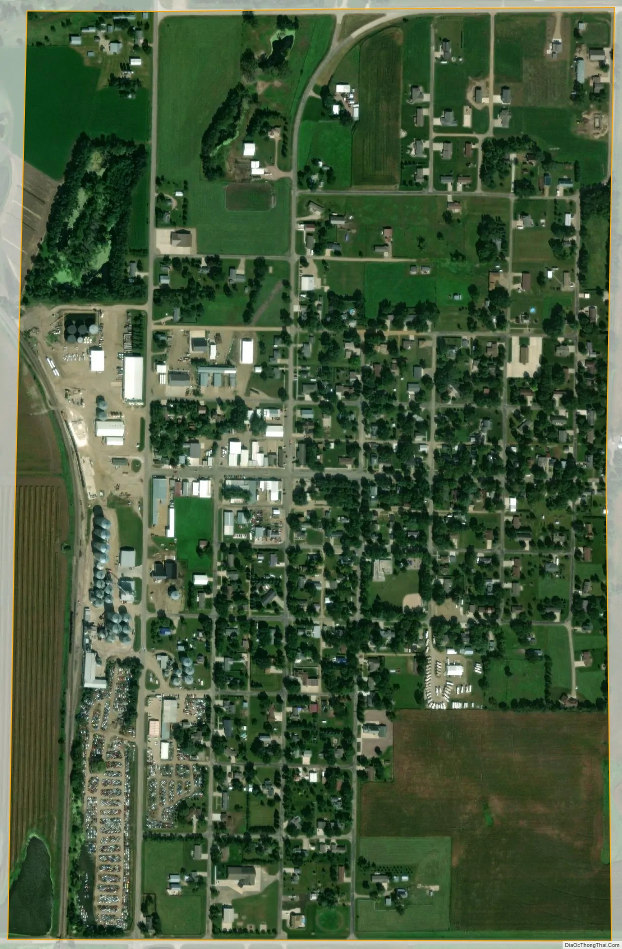
Doon city Satellite Map
Geography
According to the United States Census Bureau, the city has a total area of 0.57 square miles (1.48 km), all land.
The Rock River, a tributary of the Big Sioux River, flows past the north and west sides of the town and the Little Rock River flows past to the south to join The Rock just southwest of the community.
The city is served by U.S. Route 75, three miles east of Doon, connected by Iowa Highway 167. The Burlington Northern passes the west side of the community.
See also
Map of Iowa State and its subdivision:- Adair
- Adams
- Allamakee
- Appanoose
- Audubon
- Benton
- Black Hawk
- Boone
- Bremer
- Buchanan
- Buena Vista
- Butler
- Calhoun
- Carroll
- Cass
- Cedar
- Cerro Gordo
- Cherokee
- Chickasaw
- Clarke
- Clay
- Clayton
- Clinton
- Crawford
- Dallas
- Davis
- Decatur
- Delaware
- Des Moines
- Dickinson
- Dubuque
- Emmet
- Fayette
- Floyd
- Franklin
- Fremont
- Greene
- Grundy
- Guthrie
- Hamilton
- Hancock
- Hardin
- Harrison
- Henry
- Howard
- Humboldt
- Ida
- Iowa
- Jackson
- Jasper
- Jefferson
- Johnson
- Jones
- Keokuk
- Kossuth
- Lee
- Linn
- Louisa
- Lucas
- Lyon
- Madison
- Mahaska
- Marion
- Marshall
- Mills
- Mitchell
- Monona
- Monroe
- Montgomery
- Muscatine
- O'Brien
- Osceola
- Page
- Palo Alto
- Plymouth
- Pocahontas
- Polk
- Pottawattamie
- Poweshiek
- Ringgold
- Sac
- Scott
- Shelby
- Sioux
- Story
- Tama
- Taylor
- Union
- Van Buren
- Wapello
- Warren
- Washington
- Wayne
- Webster
- Winnebago
- Winneshiek
- Woodbury
- Worth
- Wright
- Alabama
- Alaska
- Arizona
- Arkansas
- California
- Colorado
- Connecticut
- Delaware
- District of Columbia
- Florida
- Georgia
- Hawaii
- Idaho
- Illinois
- Indiana
- Iowa
- Kansas
- Kentucky
- Louisiana
- Maine
- Maryland
- Massachusetts
- Michigan
- Minnesota
- Mississippi
- Missouri
- Montana
- Nebraska
- Nevada
- New Hampshire
- New Jersey
- New Mexico
- New York
- North Carolina
- North Dakota
- Ohio
- Oklahoma
- Oregon
- Pennsylvania
- Rhode Island
- South Carolina
- South Dakota
- Tennessee
- Texas
- Utah
- Vermont
- Virginia
- Washington
- West Virginia
- Wisconsin
- Wyoming