Earling is a city in Shelby County, Iowa, United States. The population was 397 at the time of the 2020 census.
| Name: | Earling city |
|---|---|
| LSAD Code: | 25 |
| LSAD Description: | city (suffix) |
| State: | Iowa |
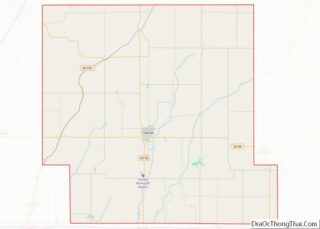
| County: | Shelby County |
| Elevation: | 1,342 ft (409 m) |
| Total Area: | 0.63 sq mi (1.63 km²) |
| Land Area: | 0.63 sq mi (1.63 km²) |
| Water Area: | 0.00 sq mi (0.00 km²) |
| Total Population: | 397 |
| Population Density: | 629.16/sq mi (242.97/km²) |
| ZIP code: | 51530 |
| Area code: | 712 |
| FIPS code: | 1923385 |
| GNISfeature ID: | 0456105 |
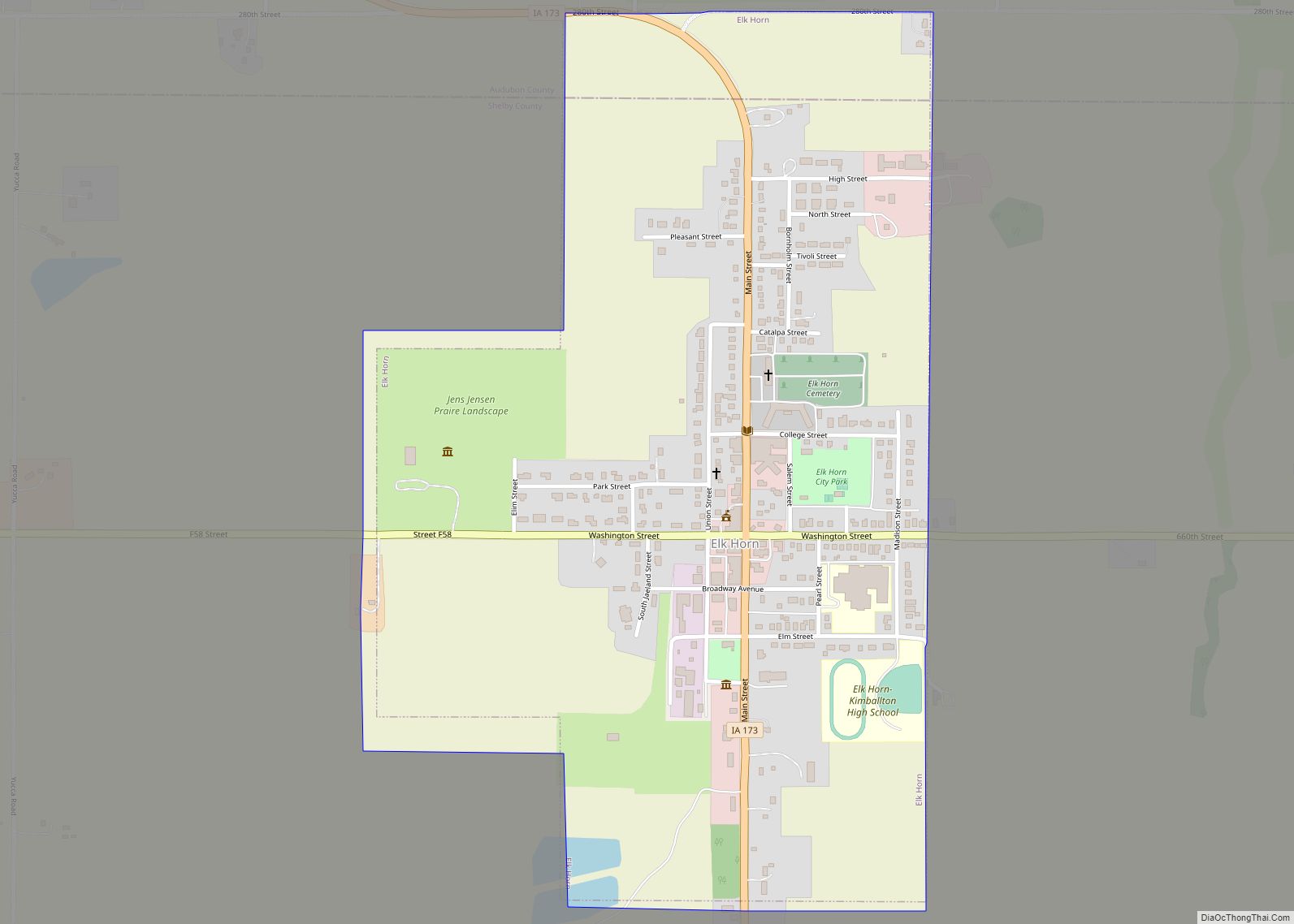
Online Interactive Map
Click on ![]() to view map in "full screen" mode.
to view map in "full screen" mode.
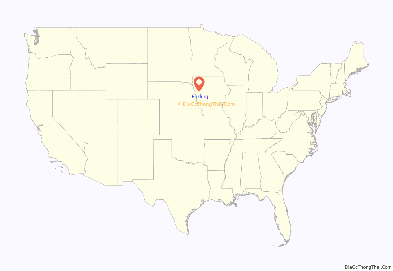
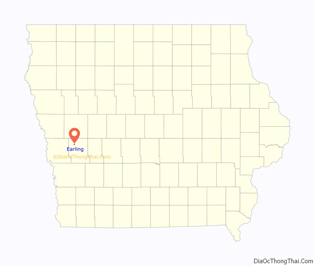
Earling location map. Where is Earling city?
History
Earling had its start 1881-1882 by the building of the Chicago, Milwaukee and St. Paul Railway through that territory.
The town was platted in 1882 by the Milwaukee Land Company and was first known as Marthan. However, there was already a town called Marathon in Iowa, so the name of the town was soon changed to Earling, in honor of Albert J. Earling who in 1882 was division superintendent of the Chicago, Milwaukee and St. Paul Railway. (Earling became president of the said Railroad on September 23, 1899.)
Earling is well known in paranormal circles for being the site of the 1928 exorcism of Anna Ecklund. Over 23 days in 1928, a Roman Catholic Capuchin named Theophilus Riesinger worked to exorcise demons from Emma Schmidt at the local Franciscan convent. One of the priests involved wrote an account several years later in which he made a variety of supernatural claims, including that Ecklund flew threw the air during the exorcism and clung to the wall over a door, that locals noticed strange noises and odors, and that the 23 day exorcism resulted in the expulsion of several demons from Ecklund.
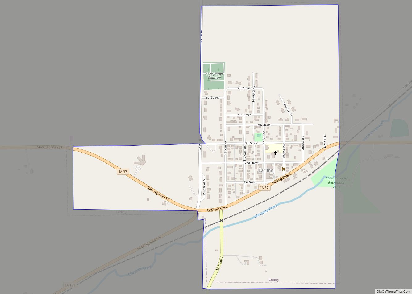
Earling Road Map
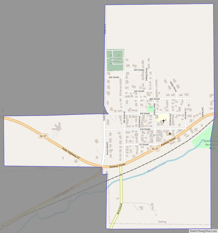
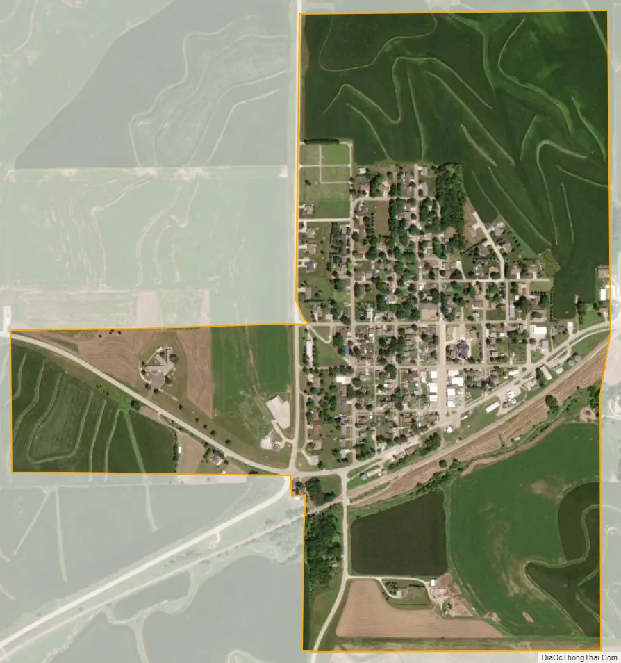
Earling city Satellite Map
Geography
Earling is located at 41°46′30″N 95°25′7″W / 41.77500°N 95.41861°W / 41.77500; -95.41861 (41.775116, -95.418552).
According to the United States Census Bureau, the city has a total area of 0.60 square miles (1.55 km), all of it land.
Mosquito Creek rises near Earling.
See also
Map of Iowa State and its subdivision:- Adair
- Adams
- Allamakee
- Appanoose
- Audubon
- Benton
- Black Hawk
- Boone
- Bremer
- Buchanan
- Buena Vista
- Butler
- Calhoun
- Carroll
- Cass
- Cedar
- Cerro Gordo
- Cherokee
- Chickasaw
- Clarke
- Clay
- Clayton
- Clinton
- Crawford
- Dallas
- Davis
- Decatur
- Delaware
- Des Moines
- Dickinson
- Dubuque
- Emmet
- Fayette
- Floyd
- Franklin
- Fremont
- Greene
- Grundy
- Guthrie
- Hamilton
- Hancock
- Hardin
- Harrison
- Henry
- Howard
- Humboldt
- Ida
- Iowa
- Jackson
- Jasper
- Jefferson
- Johnson
- Jones
- Keokuk
- Kossuth
- Lee
- Linn
- Louisa
- Lucas
- Lyon
- Madison
- Mahaska
- Marion
- Marshall
- Mills
- Mitchell
- Monona
- Monroe
- Montgomery
- Muscatine
- O'Brien
- Osceola
- Page
- Palo Alto
- Plymouth
- Pocahontas
- Polk
- Pottawattamie
- Poweshiek
- Ringgold
- Sac
- Scott
- Shelby
- Sioux
- Story
- Tama
- Taylor
- Union
- Van Buren
- Wapello
- Warren
- Washington
- Wayne
- Webster
- Winnebago
- Winneshiek
- Woodbury
- Worth
- Wright
- Alabama
- Alaska
- Arizona
- Arkansas
- California
- Colorado
- Connecticut
- Delaware
- District of Columbia
- Florida
- Georgia
- Hawaii
- Idaho
- Illinois
- Indiana
- Iowa
- Kansas
- Kentucky
- Louisiana
- Maine
- Maryland
- Massachusetts
- Michigan
- Minnesota
- Mississippi
- Missouri
- Montana
- Nebraska
- Nevada
- New Hampshire
- New Jersey
- New Mexico
- New York
- North Carolina
- North Dakota
- Ohio
- Oklahoma
- Oregon
- Pennsylvania
- Rhode Island
- South Carolina
- South Dakota
- Tennessee
- Texas
- Utah
- Vermont
- Virginia
- Washington
- West Virginia
- Wisconsin
- Wyoming