Elk Horn is a city in Shelby County, Iowa, United States. The population was 601 at the time of the 2020 census. Elk Horn is known as an enclave of Danish ethnicity and is home to the Museum of Danish America.
| Name: | Elk Horn city |
|---|---|
| LSAD Code: | 25 |
| LSAD Description: | city (suffix) |
| State: | Iowa |
| County: | Shelby County |
| Elevation: | 1,345 ft (410 m) |
| Total Area: | 0.73 sq mi (1.89 km²) |
| Land Area: | 0.73 sq mi (1.89 km²) |
| Water Area: | 0.00 sq mi (0.00 km²) |
| Total Population: | 601 |
| Population Density: | 822.16/sq mi (317.50/km²) |
| ZIP code: | 51531 |
| Area code: | 712 |
| FIPS code: | 1924780 |
| GNISfeature ID: | 0456294 |
| Website: | www.elkhorniowa.com |
Online Interactive Map
Click on ![]() to view map in "full screen" mode.
to view map in "full screen" mode.
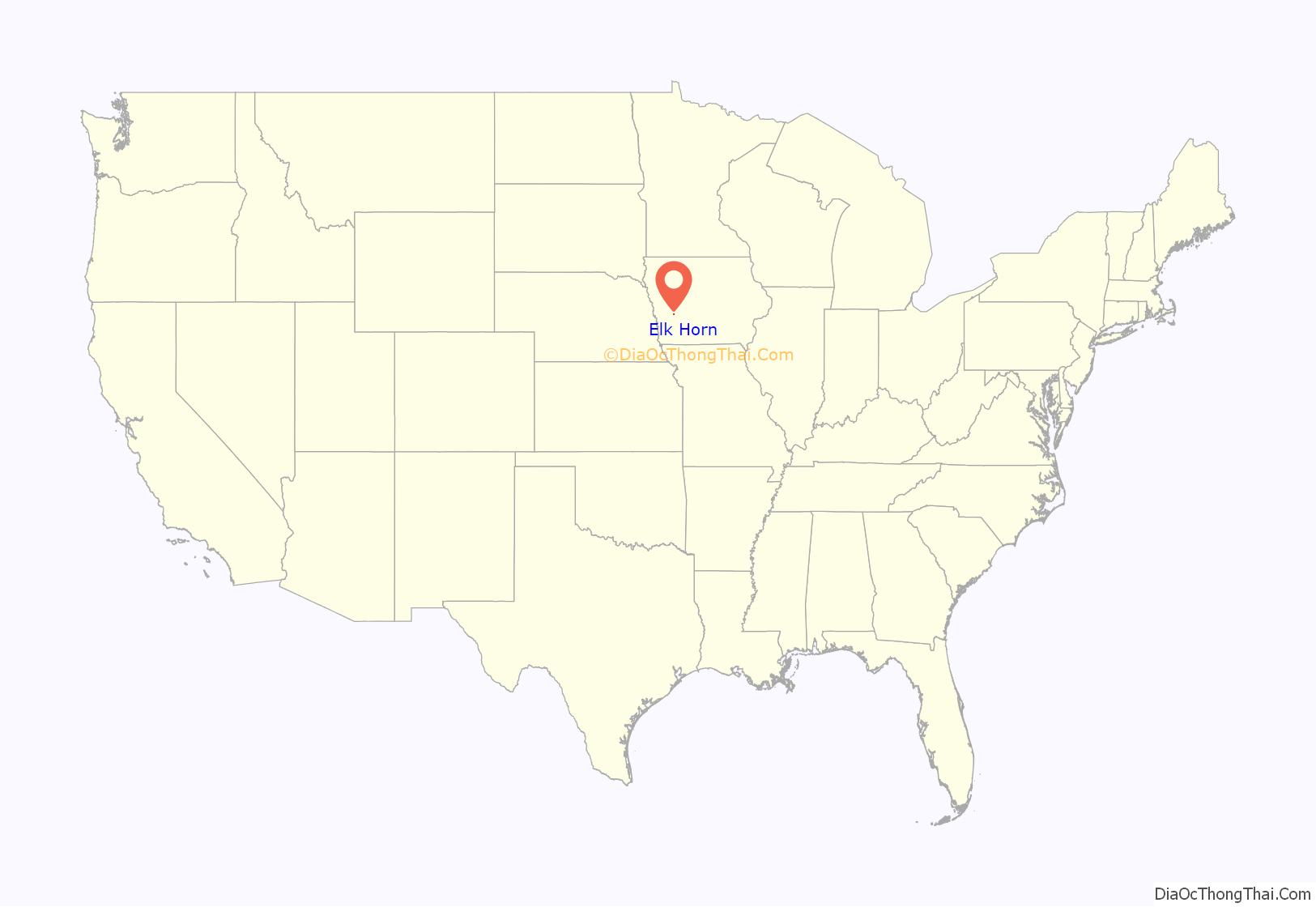
Elk Horn location map. Where is Elk Horn city?
History
Elk Horn was platted in 1901, and incorporated as a town in 1910. The city took its name from Elk Horn Creek. Newspaper articles from the Atlantic, Iowa newspaper published in 1919 on the death of Mrs. Winters and 1939 on the history of Clay Township In 1864 a colony of Wisconsin people with 3 or 4 covered wagons came to Iowa to establish a town and settled on a knoll two miles southwest of what is now Elk Horn. With the establishment of the post office, Mrs. Caroline Whitney Winters, wife of Theron W. Winters suggested the name of Elk Horn as so many elk shed their horns in the timber there. Mrs. Winters was the first post mistress as the post office was kept in the Winters cabin for a number of years. Her husband traversed the stage route along the ridge country between Grove City and Harlan, carrying the mail prior to the advent of the railroad. The site of the cabin was later occupied by Chris and Stena Jensen, and the Lawrence Nelson and Mrs. Peter M Petersen farms.
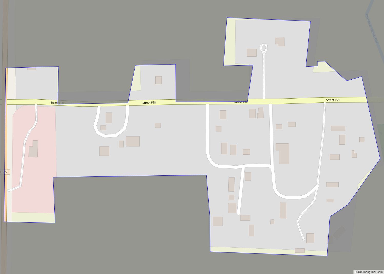
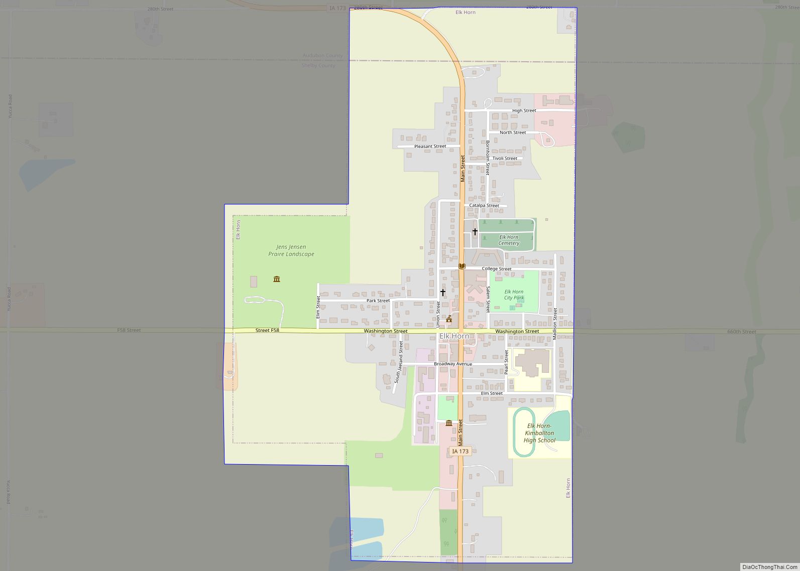
Elk Horn Road Map
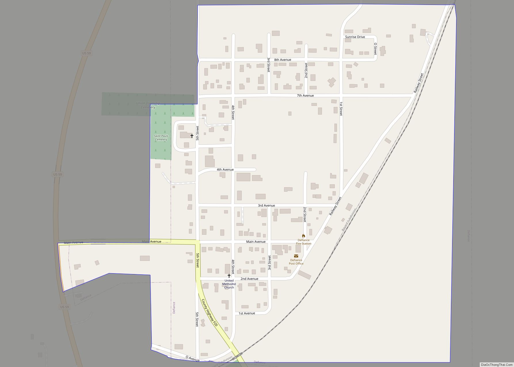
Elk Horn city Satellite Map
Geography
Elk Horn is located at 41°35′34″N 95°3′35″W / 41.59278°N 95.05972°W / 41.59278; -95.05972 (41.592694, -95.059615).
According to the United States Census Bureau, the city has a total area of 0.77 square miles (1.99 km), all of it land.
See also
Map of Iowa State and its subdivision:- Adair
- Adams
- Allamakee
- Appanoose
- Audubon
- Benton
- Black Hawk
- Boone
- Bremer
- Buchanan
- Buena Vista
- Butler
- Calhoun
- Carroll
- Cass
- Cedar
- Cerro Gordo
- Cherokee
- Chickasaw
- Clarke
- Clay
- Clayton
- Clinton
- Crawford
- Dallas
- Davis
- Decatur
- Delaware
- Des Moines
- Dickinson
- Dubuque
- Emmet
- Fayette
- Floyd
- Franklin
- Fremont
- Greene
- Grundy
- Guthrie
- Hamilton
- Hancock
- Hardin
- Harrison
- Henry
- Howard
- Humboldt
- Ida
- Iowa
- Jackson
- Jasper
- Jefferson
- Johnson
- Jones
- Keokuk
- Kossuth
- Lee
- Linn
- Louisa
- Lucas
- Lyon
- Madison
- Mahaska
- Marion
- Marshall
- Mills
- Mitchell
- Monona
- Monroe
- Montgomery
- Muscatine
- O'Brien
- Osceola
- Page
- Palo Alto
- Plymouth
- Pocahontas
- Polk
- Pottawattamie
- Poweshiek
- Ringgold
- Sac
- Scott
- Shelby
- Sioux
- Story
- Tama
- Taylor
- Union
- Van Buren
- Wapello
- Warren
- Washington
- Wayne
- Webster
- Winnebago
- Winneshiek
- Woodbury
- Worth
- Wright
- Alabama
- Alaska
- Arizona
- Arkansas
- California
- Colorado
- Connecticut
- Delaware
- District of Columbia
- Florida
- Georgia
- Hawaii
- Idaho
- Illinois
- Indiana
- Iowa
- Kansas
- Kentucky
- Louisiana
- Maine
- Maryland
- Massachusetts
- Michigan
- Minnesota
- Mississippi
- Missouri
- Montana
- Nebraska
- Nevada
- New Hampshire
- New Jersey
- New Mexico
- New York
- North Carolina
- North Dakota
- Ohio
- Oklahoma
- Oregon
- Pennsylvania
- Rhode Island
- South Carolina
- South Dakota
- Tennessee
- Texas
- Utah
- Vermont
- Virginia
- Washington
- West Virginia
- Wisconsin
- Wyoming
