Fertile is a city in Worth County, Iowa, United States. The population was 305 at the time of the 2020 census. It is part of the Mason City Micropolitan Statistical Area.
| Name: | Fertile city |
|---|---|
| LSAD Code: | 25 |
| LSAD Description: | city (suffix) |
| State: | Iowa |
| County: | Worth County |
| Elevation: | 1,171 ft (357 m) |
| Total Area: | 0.94 sq mi (2.44 km²) |
| Land Area: | 0.94 sq mi (2.44 km²) |
| Water Area: | 0.00 sq mi (0.00 km²) |
| Total Population: | 305 |
| Population Density: | 324.12/sq mi (125.19/km²) |
| ZIP code: | 50434 |
| Area code: | 641 |
| FIPS code: | 1927390 |
| GNISfeature ID: | 0456580 |
| Website: | www.fertileiowa.us |
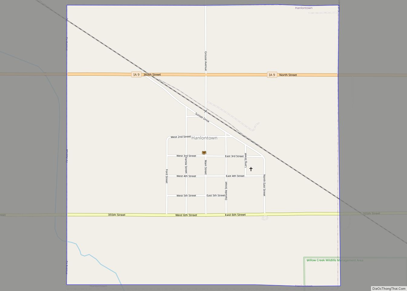
Online Interactive Map
Click on ![]() to view map in "full screen" mode.
to view map in "full screen" mode.
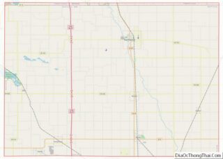
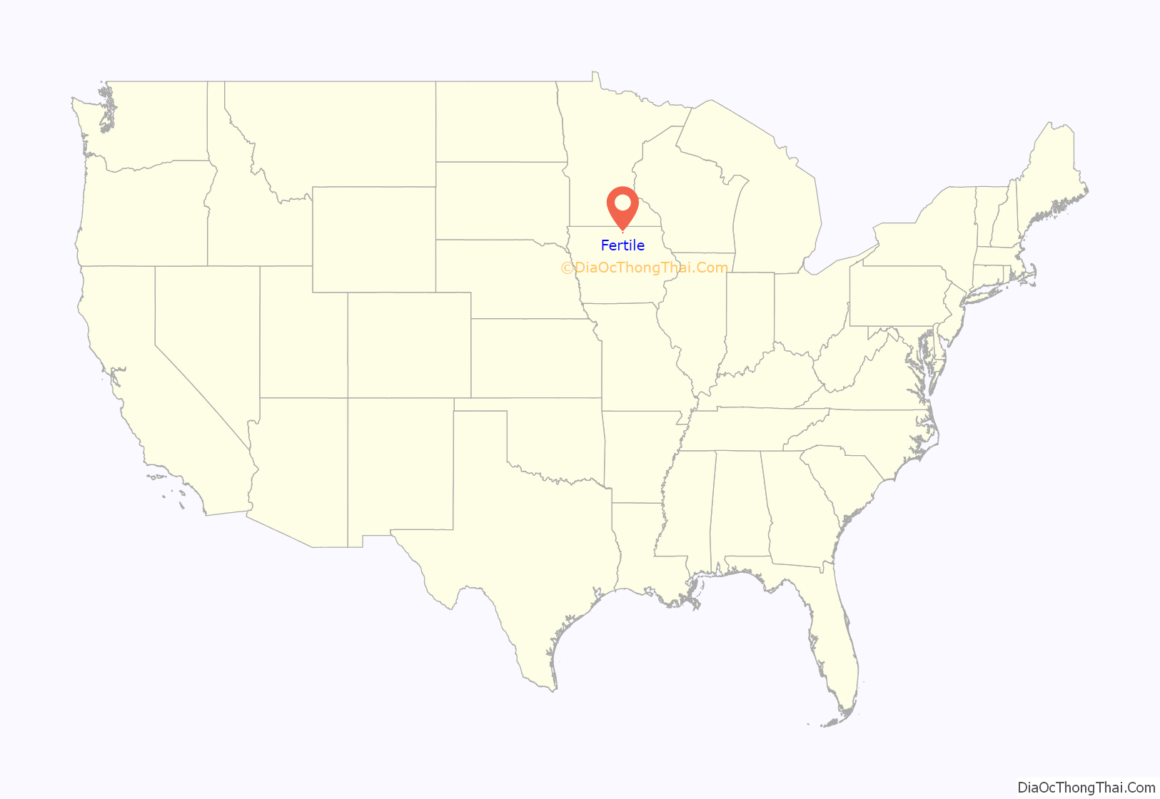
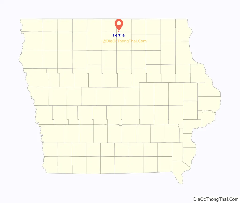
Fertile location map. Where is Fertile city?
History
The community was first called Rhodes Mill after William Rhodes, who settled there in 1856 and built a house. A land speculator created a fictional town nearby and named it Fontanelle, though the locals called it Putsey. Fertile was established in 1877, and named for the quality of the soil in the valley it was located in. Fertile was incorporated in 1908.
Rhodes Mill is listed on the National Register of Historic Places.
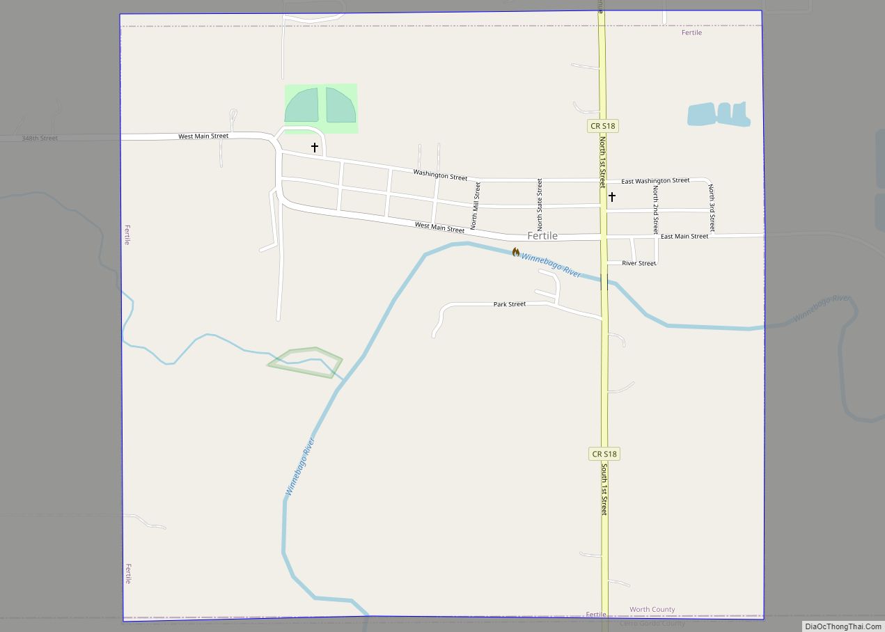
Fertile Road Map
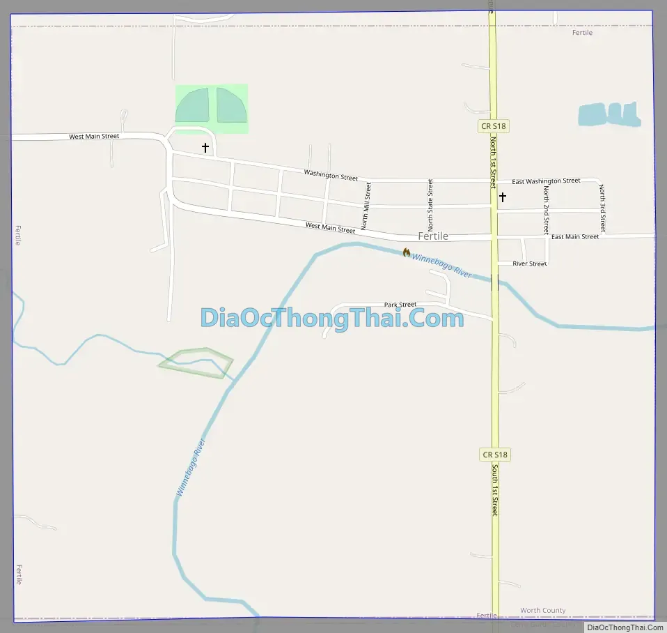
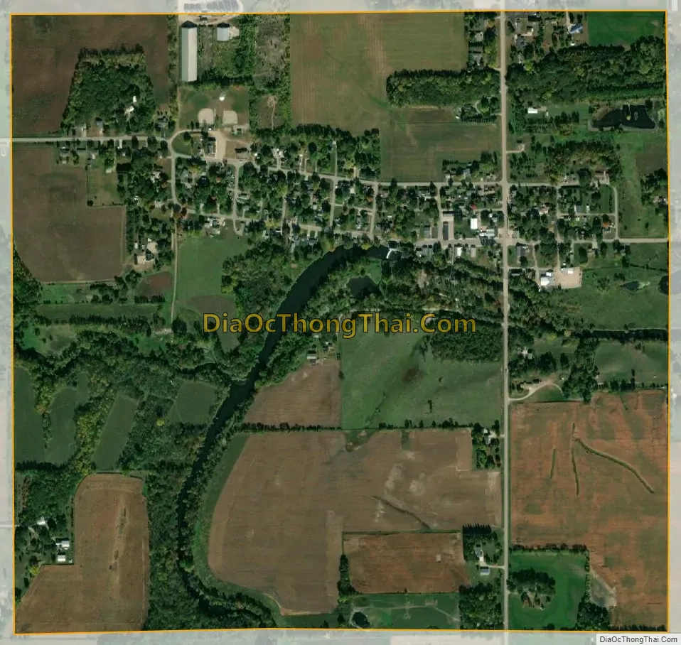
Fertile city Satellite Map
Geography
Fertile is located at 43°15′53″N 93°25′16″W / 43.26472°N 93.42111°W / 43.26472; -93.42111 (43.264704, -93.421176).
According to the United States Census Bureau, the city has a total area of 0.94 square miles (2.43 km), all land.
See also
Map of Iowa State and its subdivision:- Adair
- Adams
- Allamakee
- Appanoose
- Audubon
- Benton
- Black Hawk
- Boone
- Bremer
- Buchanan
- Buena Vista
- Butler
- Calhoun
- Carroll
- Cass
- Cedar
- Cerro Gordo
- Cherokee
- Chickasaw
- Clarke
- Clay
- Clayton
- Clinton
- Crawford
- Dallas
- Davis
- Decatur
- Delaware
- Des Moines
- Dickinson
- Dubuque
- Emmet
- Fayette
- Floyd
- Franklin
- Fremont
- Greene
- Grundy
- Guthrie
- Hamilton
- Hancock
- Hardin
- Harrison
- Henry
- Howard
- Humboldt
- Ida
- Iowa
- Jackson
- Jasper
- Jefferson
- Johnson
- Jones
- Keokuk
- Kossuth
- Lee
- Linn
- Louisa
- Lucas
- Lyon
- Madison
- Mahaska
- Marion
- Marshall
- Mills
- Mitchell
- Monona
- Monroe
- Montgomery
- Muscatine
- O'Brien
- Osceola
- Page
- Palo Alto
- Plymouth
- Pocahontas
- Polk
- Pottawattamie
- Poweshiek
- Ringgold
- Sac
- Scott
- Shelby
- Sioux
- Story
- Tama
- Taylor
- Union
- Van Buren
- Wapello
- Warren
- Washington
- Wayne
- Webster
- Winnebago
- Winneshiek
- Woodbury
- Worth
- Wright
- Alabama
- Alaska
- Arizona
- Arkansas
- California
- Colorado
- Connecticut
- Delaware
- District of Columbia
- Florida
- Georgia
- Hawaii
- Idaho
- Illinois
- Indiana
- Iowa
- Kansas
- Kentucky
- Louisiana
- Maine
- Maryland
- Massachusetts
- Michigan
- Minnesota
- Mississippi
- Missouri
- Montana
- Nebraska
- Nevada
- New Hampshire
- New Jersey
- New Mexico
- New York
- North Carolina
- North Dakota
- Ohio
- Oklahoma
- Oregon
- Pennsylvania
- Rhode Island
- South Carolina
- South Dakota
- Tennessee
- Texas
- Utah
- Vermont
- Virginia
- Washington
- West Virginia
- Wisconsin
- Wyoming