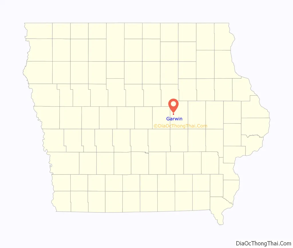
Garwin is a city in Tama County, Iowa, United States. The population was 481 at the time of the 2020 census.
| Name: | Garwin city |
|---|---|
| LSAD Code: | 25 |
| LSAD Description: | city (suffix) |
| State: | Iowa |
| County: | Tama County |
| Elevation: | 922 ft (281 m) |
| Total Area: | 1.01 sq mi (2.61 km²) |
| Land Area: | 1.01 sq mi (2.61 km²) |
| Water Area: | 0.00 sq mi (0.00 km²) |
| Total Population: | 481 |
| Population Density: | 477.66/sq mi (184.36/km²) |
| ZIP code: | 50632 |
| Area code: | 641 |
| FIPS code: | 1930045 |
| GNISfeature ID: | 0456857 |
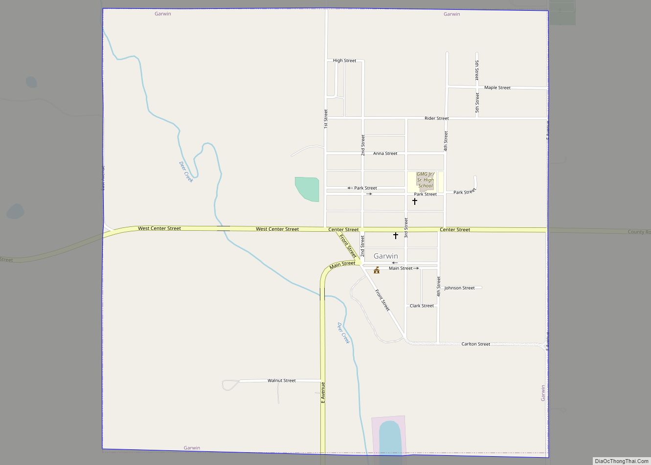
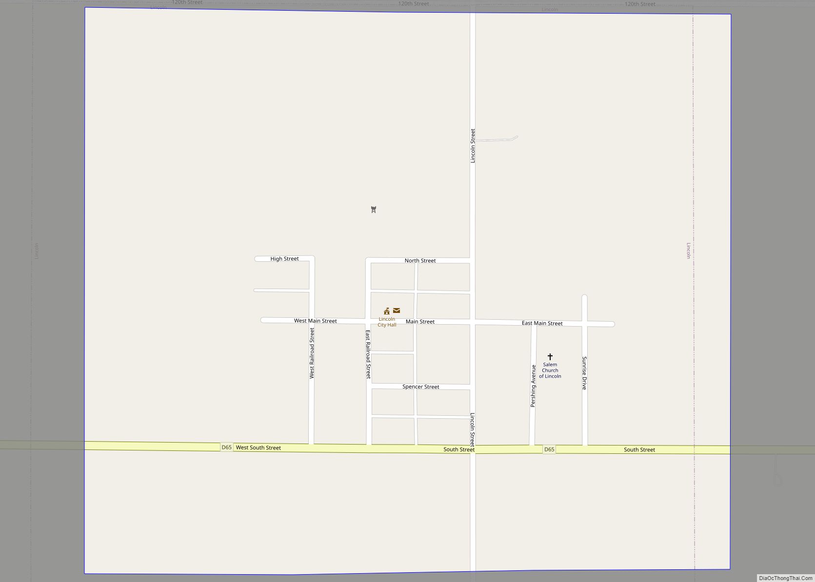
Online Interactive Map
Click on ![]() to view map in "full screen" mode.
to view map in "full screen" mode.
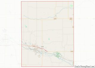
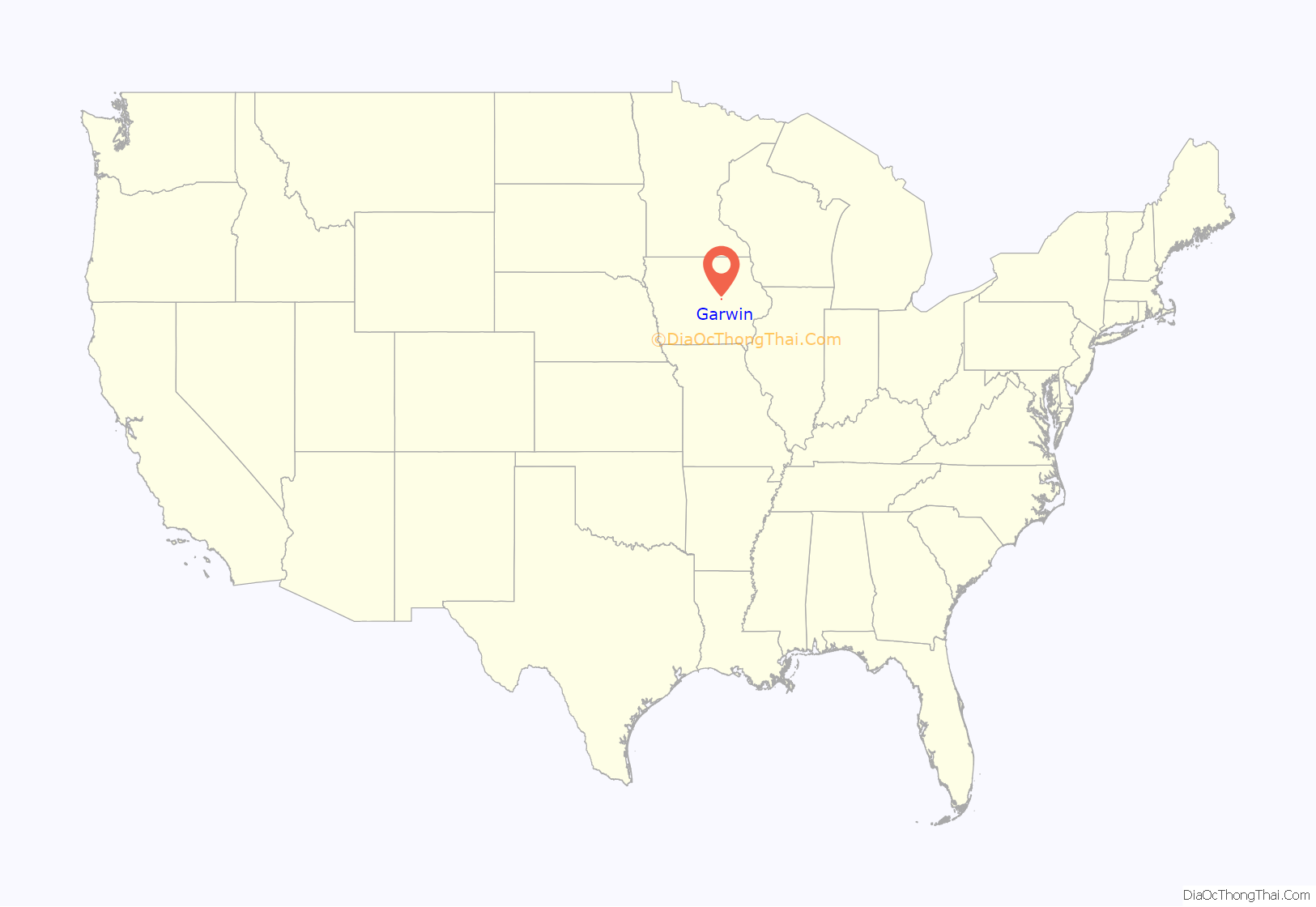
Garwin location map. Where is Garwin city?
History
Garwin was platted in 1880. A post office called Garwin has been in operation since 1880.
In 1879, the Toledo and Northwestern Railroad was sold to the Chicago and Northwestern Railroad. After the sale, the railroad line was extended northwestward from Toledo. Various new towns were established along the tracks, but the Garwin, Iowa was the first railroad station beyond Toledo.
Giving the town a name proved to be a difficult process. At first, it was called “Maple,” or as some claim “Myrcle,” but neither name was particularly favorable. The next choice was “Marvin,” in honor of Marvin Hewitt, an official of the Northwestern railroad, but it was soon discovered that another town had already taken the name.
Several landowners were interested in selling their land for the purpose of establishing the new town, including George Rider and John Galvizer. After much controversy, these two men won out, and a message was sent to Toledo that read: “‘G’ (for Glavizer) and ‘R’ (for Rider) win.” Its recipients misconstrued the message, reading the word “Garwin” instead- and the city finally had a name.
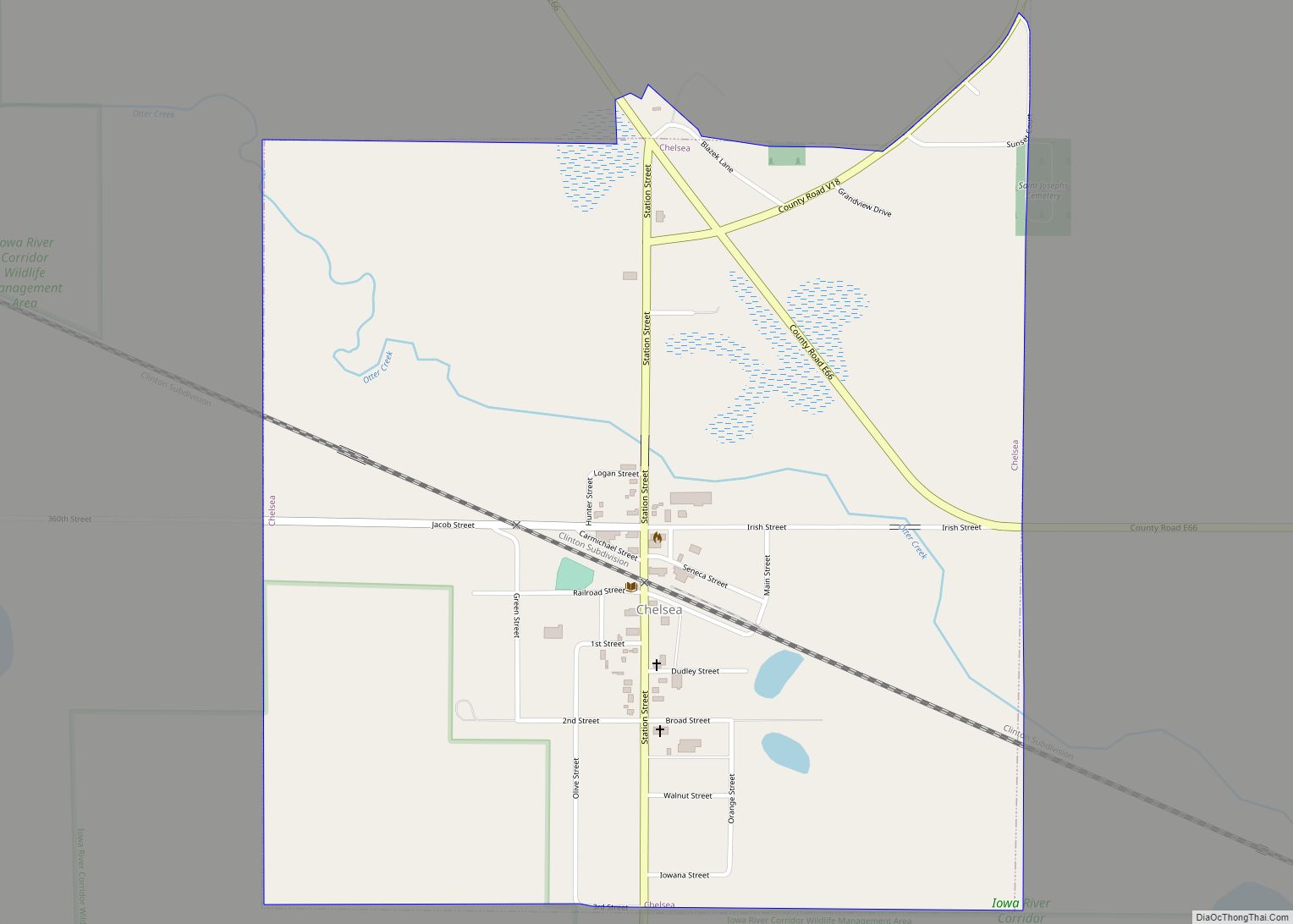
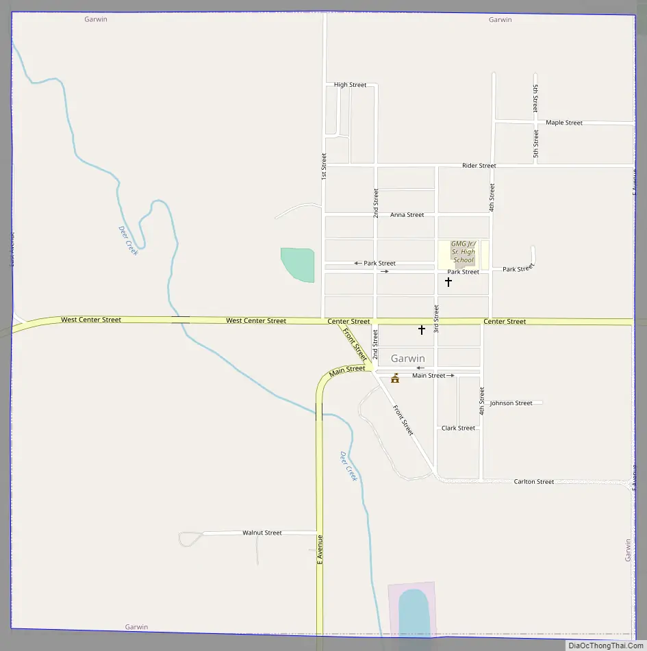
Garwin Road Map
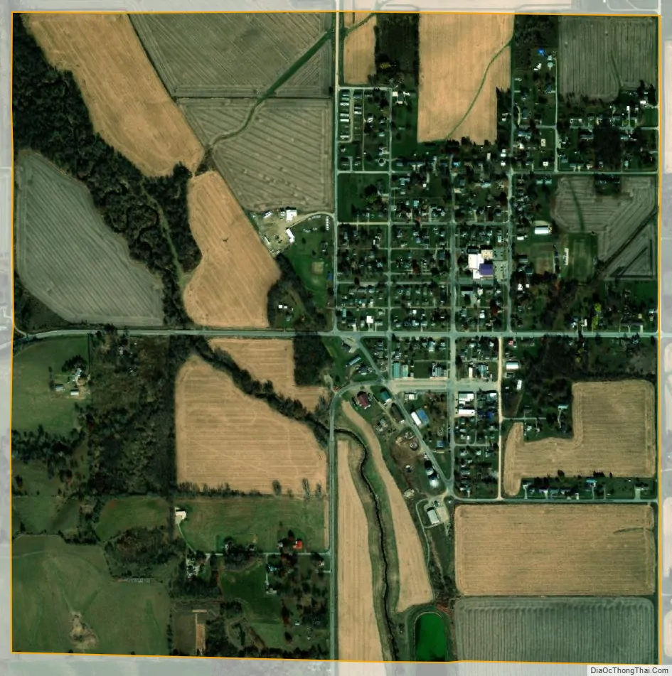
Garwin city Satellite Map
Geography
Garwin is located at 42°5′41″N 92°40′36″W / 42.09472°N 92.67667°W / 42.09472; -92.67667 (42.094635, -92.676653).
According to the United States Census Bureau, the city has a total area of 1.01 square miles (2.62 km), all land.
See also
Map of Iowa State and its subdivision:- Adair
- Adams
- Allamakee
- Appanoose
- Audubon
- Benton
- Black Hawk
- Boone
- Bremer
- Buchanan
- Buena Vista
- Butler
- Calhoun
- Carroll
- Cass
- Cedar
- Cerro Gordo
- Cherokee
- Chickasaw
- Clarke
- Clay
- Clayton
- Clinton
- Crawford
- Dallas
- Davis
- Decatur
- Delaware
- Des Moines
- Dickinson
- Dubuque
- Emmet
- Fayette
- Floyd
- Franklin
- Fremont
- Greene
- Grundy
- Guthrie
- Hamilton
- Hancock
- Hardin
- Harrison
- Henry
- Howard
- Humboldt
- Ida
- Iowa
- Jackson
- Jasper
- Jefferson
- Johnson
- Jones
- Keokuk
- Kossuth
- Lee
- Linn
- Louisa
- Lucas
- Lyon
- Madison
- Mahaska
- Marion
- Marshall
- Mills
- Mitchell
- Monona
- Monroe
- Montgomery
- Muscatine
- O'Brien
- Osceola
- Page
- Palo Alto
- Plymouth
- Pocahontas
- Polk
- Pottawattamie
- Poweshiek
- Ringgold
- Sac
- Scott
- Shelby
- Sioux
- Story
- Tama
- Taylor
- Union
- Van Buren
- Wapello
- Warren
- Washington
- Wayne
- Webster
- Winnebago
- Winneshiek
- Woodbury
- Worth
- Wright
- Alabama
- Alaska
- Arizona
- Arkansas
- California
- Colorado
- Connecticut
- Delaware
- District of Columbia
- Florida
- Georgia
- Hawaii
- Idaho
- Illinois
- Indiana
- Iowa
- Kansas
- Kentucky
- Louisiana
- Maine
- Maryland
- Massachusetts
- Michigan
- Minnesota
- Mississippi
- Missouri
- Montana
- Nebraska
- Nevada
- New Hampshire
- New Jersey
- New Mexico
- New York
- North Carolina
- North Dakota
- Ohio
- Oklahoma
- Oregon
- Pennsylvania
- Rhode Island
- South Carolina
- South Dakota
- Tennessee
- Texas
- Utah
- Vermont
- Virginia
- Washington
- West Virginia
- Wisconsin
- Wyoming