Harris is a city in Osceola County, Iowa, United States. The population was 151 at the time of the 2020 census.
| Name: | Harris city |
|---|---|
| LSAD Code: | 25 |
| LSAD Description: | city (suffix) |
| State: | Iowa |
| County: | Osceola County |
| Elevation: | 1,549 ft (472 m) |
| Total Area: | 1.00 sq mi (2.59 km²) |
| Land Area: | 1.00 sq mi (2.59 km²) |
| Water Area: | 0.00 sq mi (0.00 km²) |
| Total Population: | 151 |
| Population Density: | 150.70/sq mi (58.19/km²) |
| ZIP code: | 51345 |
| Area code: | 712 |
| FIPS code: | 1934635 |
| GNISfeature ID: | 0457280 |
Online Interactive Map
Click on ![]() to view map in "full screen" mode.
to view map in "full screen" mode.
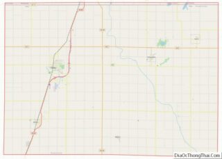
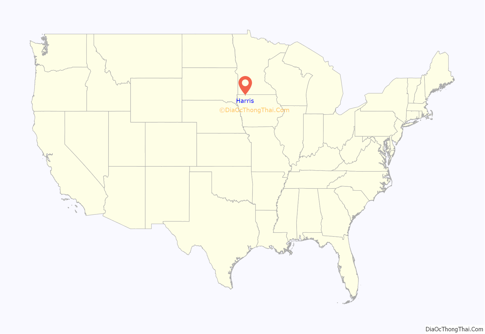
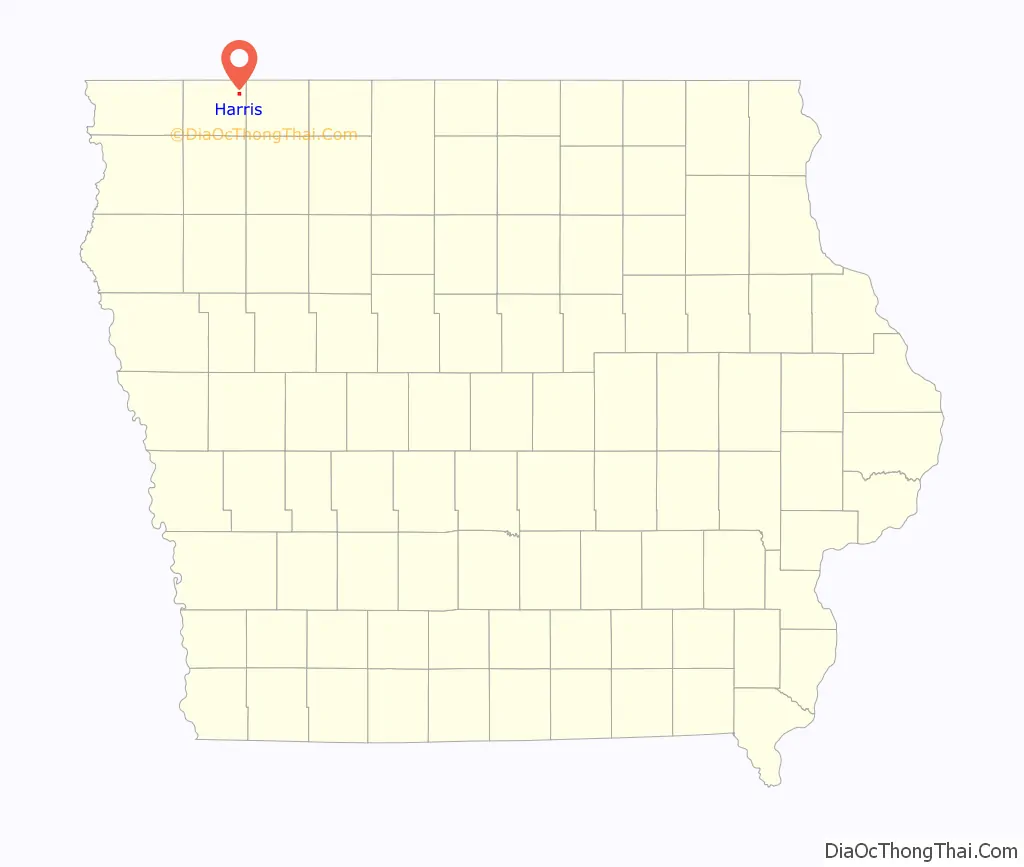
Harris location map. Where is Harris city?
History
Harris had its start in the year 1889 by the building of the Burlington, Cedar Rapids & Northern Railway through Fairview Township. It was named for one of its founders, A. W. Harris. Homer E. Richards was postmaster of Harris from 1900 until 1910; after being elected county treasurer he relocated his family to Sibley on 1 January 1911.
Harris has acted as a city since 1903, the year the Rock Island Line took over the railroad. But incorporation papers could not be found in county nor state archives, so by legislative act effective 1 July 1979 the incorporation of the City of Harris was legalized.
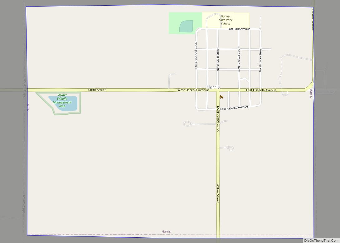
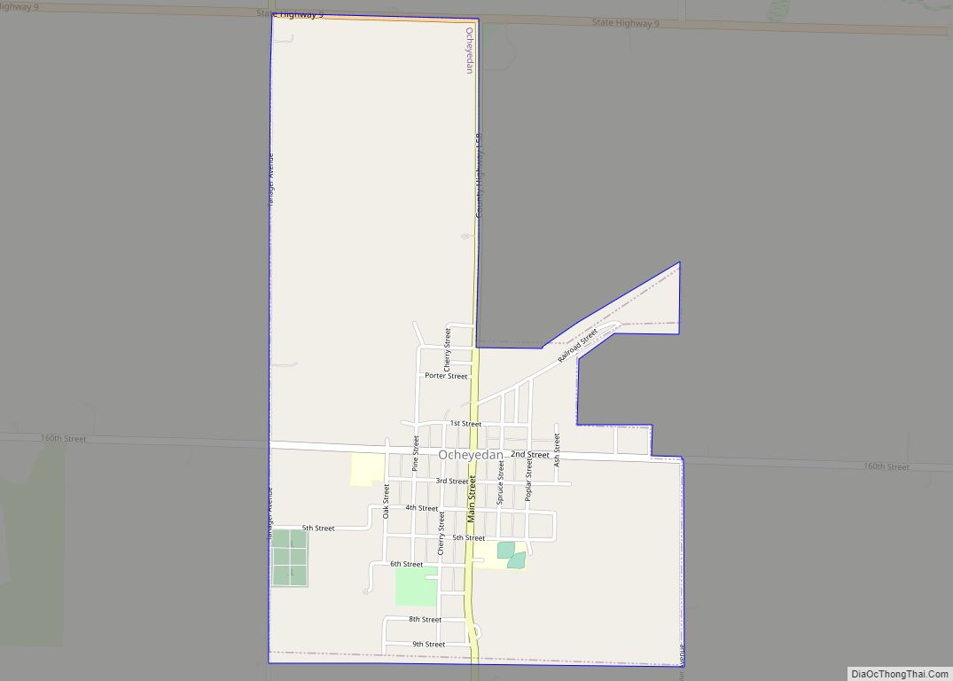
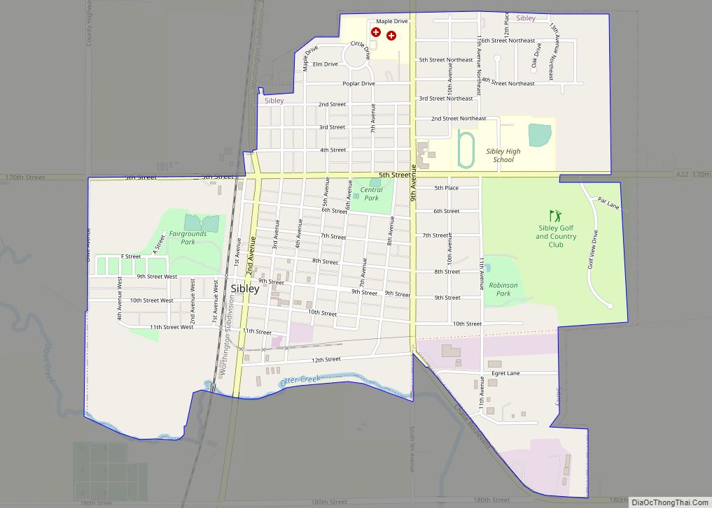
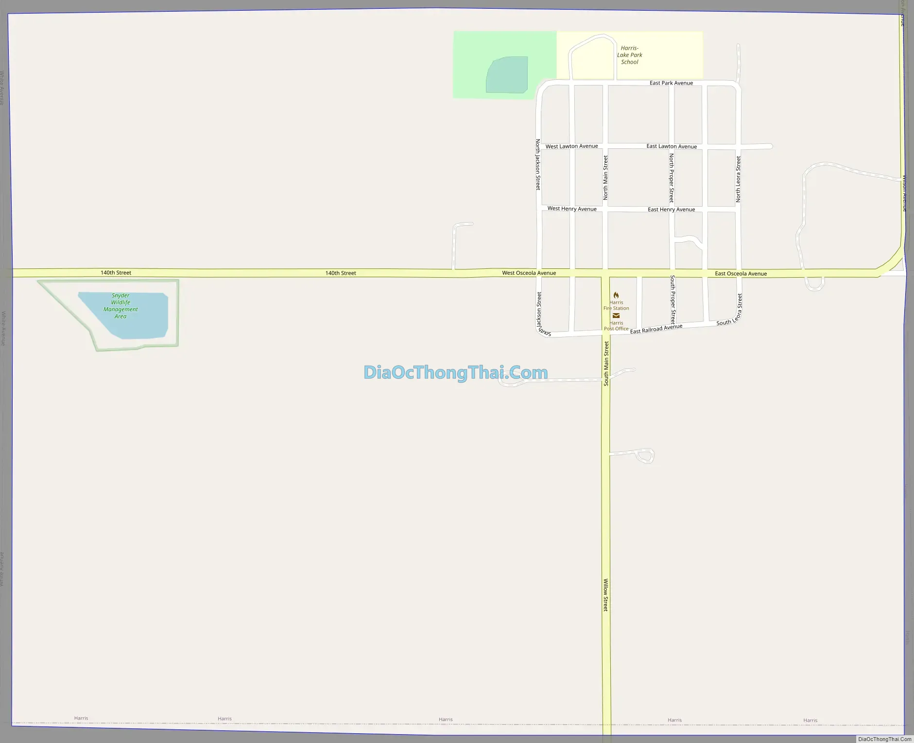
Harris Road Map
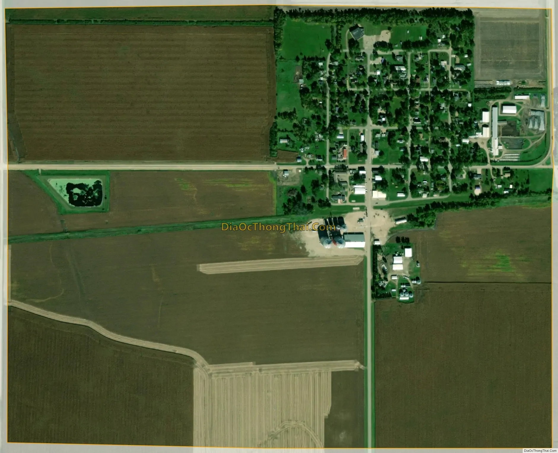
Harris city Satellite Map
Geography
Harris is located at 43°26′44″N 95°25′59″W / 43.44556°N 95.43306°W / 43.44556; -95.43306 (43.445575, -95.433168).
According to the United States Census Bureau, the city has a total area of 0.79 square miles (2.05 km), all land.
See also
Map of Iowa State and its subdivision:- Adair
- Adams
- Allamakee
- Appanoose
- Audubon
- Benton
- Black Hawk
- Boone
- Bremer
- Buchanan
- Buena Vista
- Butler
- Calhoun
- Carroll
- Cass
- Cedar
- Cerro Gordo
- Cherokee
- Chickasaw
- Clarke
- Clay
- Clayton
- Clinton
- Crawford
- Dallas
- Davis
- Decatur
- Delaware
- Des Moines
- Dickinson
- Dubuque
- Emmet
- Fayette
- Floyd
- Franklin
- Fremont
- Greene
- Grundy
- Guthrie
- Hamilton
- Hancock
- Hardin
- Harrison
- Henry
- Howard
- Humboldt
- Ida
- Iowa
- Jackson
- Jasper
- Jefferson
- Johnson
- Jones
- Keokuk
- Kossuth
- Lee
- Linn
- Louisa
- Lucas
- Lyon
- Madison
- Mahaska
- Marion
- Marshall
- Mills
- Mitchell
- Monona
- Monroe
- Montgomery
- Muscatine
- O'Brien
- Osceola
- Page
- Palo Alto
- Plymouth
- Pocahontas
- Polk
- Pottawattamie
- Poweshiek
- Ringgold
- Sac
- Scott
- Shelby
- Sioux
- Story
- Tama
- Taylor
- Union
- Van Buren
- Wapello
- Warren
- Washington
- Wayne
- Webster
- Winnebago
- Winneshiek
- Woodbury
- Worth
- Wright
- Alabama
- Alaska
- Arizona
- Arkansas
- California
- Colorado
- Connecticut
- Delaware
- District of Columbia
- Florida
- Georgia
- Hawaii
- Idaho
- Illinois
- Indiana
- Iowa
- Kansas
- Kentucky
- Louisiana
- Maine
- Maryland
- Massachusetts
- Michigan
- Minnesota
- Mississippi
- Missouri
- Montana
- Nebraska
- Nevada
- New Hampshire
- New Jersey
- New Mexico
- New York
- North Carolina
- North Dakota
- Ohio
- Oklahoma
- Oregon
- Pennsylvania
- Rhode Island
- South Carolina
- South Dakota
- Tennessee
- Texas
- Utah
- Vermont
- Virginia
- Washington
- West Virginia
- Wisconsin
- Wyoming