Haverhill is a city in Marshall County, Iowa, United States. The population was 165 at the time of the 2020 census.
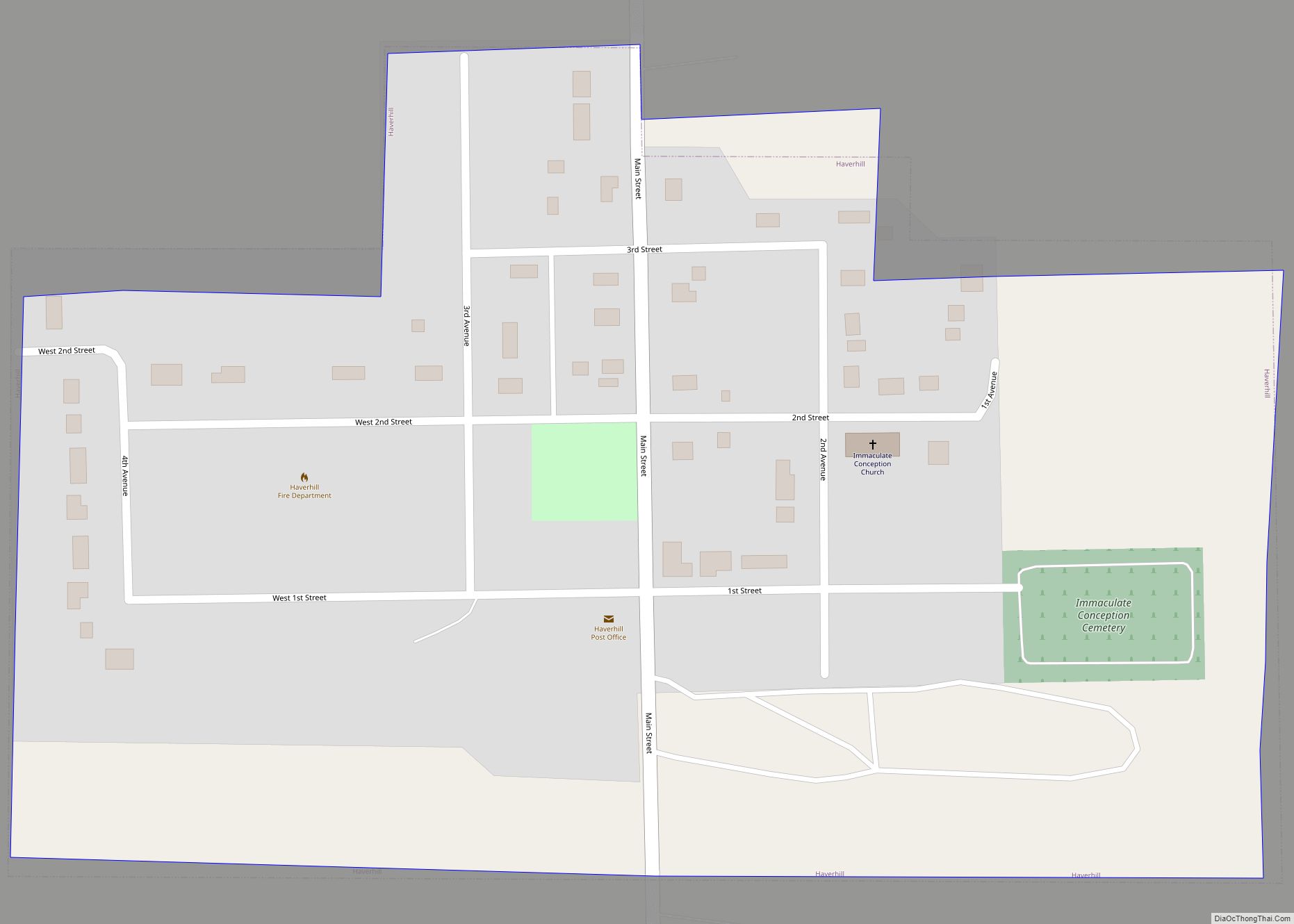
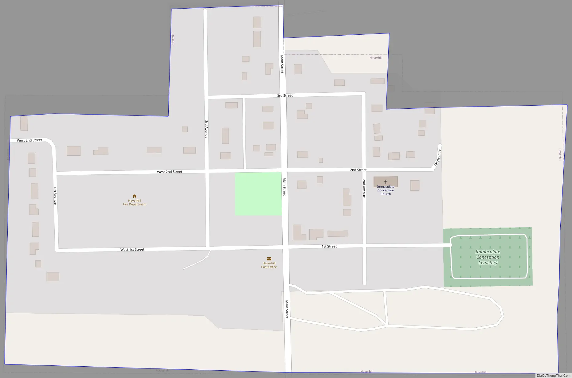
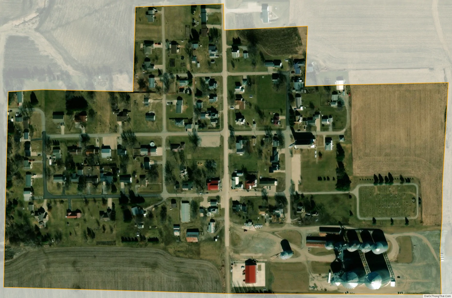
Sites in Haverhill include the Immaculate Conception oratory, the Matthew Edel Blacksmith Shop and House, and the Mid-Iowa Co-Op, which owns the grain elevators on the south end of the city. A series of wind turbines owned by Mid-American Energy stretch from Haverhill to the nearby town of Laurel.
| Name: | Haverhill city |
|---|---|
| LSAD Code: | 25 |
| LSAD Description: | city (suffix) |
| State: | Iowa |
| County: | Marshall County |
| Elevation: | 1,014 ft (309 m) |
| Total Area: | 0.14 sq mi (0.36 km²) |
| Land Area: | 0.14 sq mi (0.36 km²) |
| Water Area: | 0.00 sq mi (0.00 km²) |
| Total Population: | 165 |
| Population Density: | 1,187.05/sq mi (458.48/km²) |
| ZIP code: | 50120 |
| Area code: | 641 |
| FIPS code: | 1935220 |
| GNISfeature ID: | 0457323 |
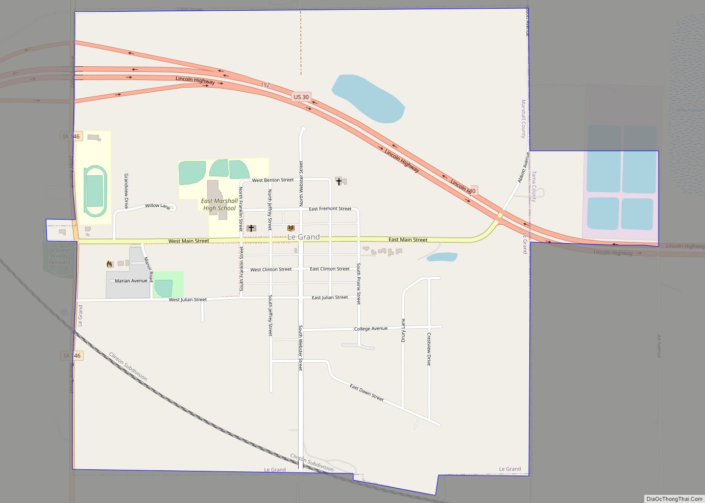
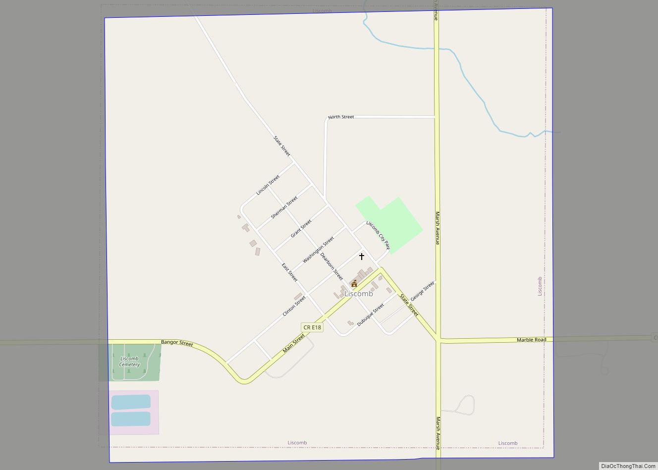
Online Interactive Map
Click on ![]() to view map in "full screen" mode.
to view map in "full screen" mode.
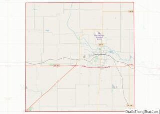
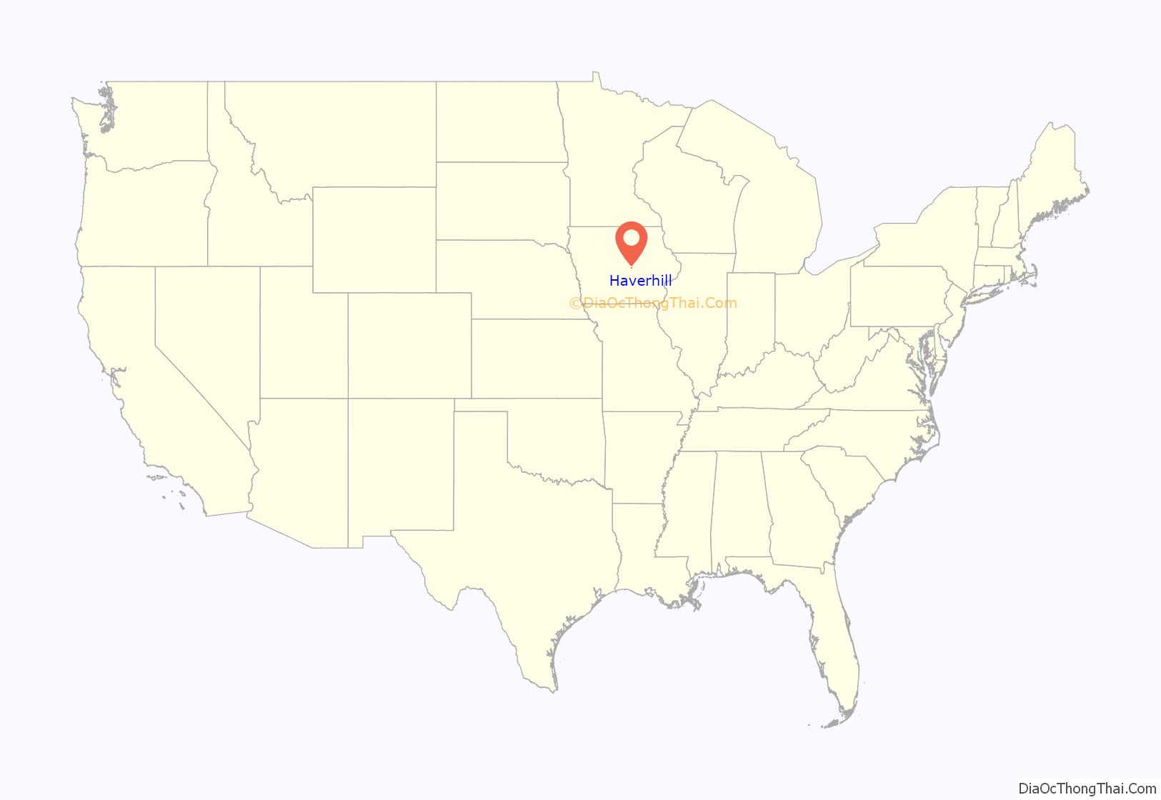
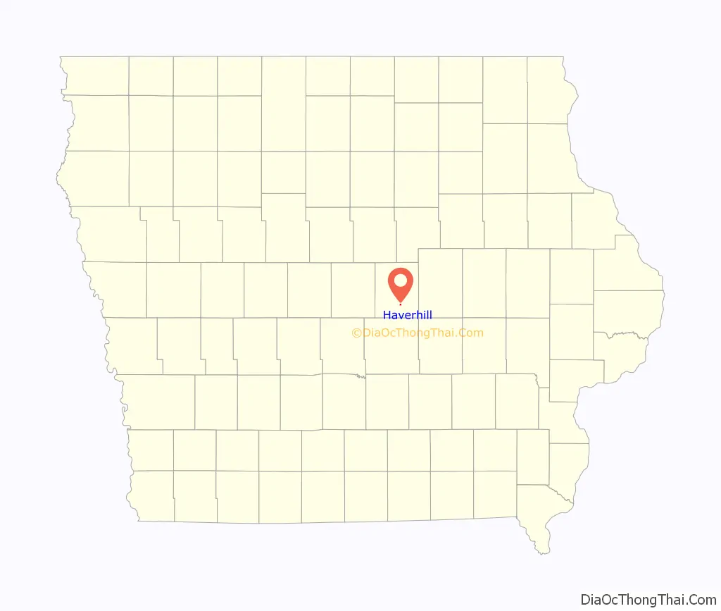
Haverhill location map. Where is Haverhill city?
History
The St. Joseph’s parochial school and the Immaculate Conception Church, established in the 1870s pre-date Haverhill’s official 1882 platting by the Chicago, Milwaukee and St. Paul Railway (also known as the Milwaukee Road). The railroad carried both freight and passengers, with passenger service traveling east and west each stopping in Haverhill three times daily. The community mostly stored grain in elevators, while hosting several small industries and town services including a lumber company, blacksmith shop, bank, general store, grocer, and schools.
Throughout the 20th century, these businesses and services mostly closed. Rail traffic fell, first losing passenger rail service before freight traffic ceased in 1980. Prior to this, the German Savings Bank (established in 1908) shuttered in the early 1920s. By the mid-20th century, the public school had merged into the Marshalltown Community School District, with the St. Joseph’s Catholic school closing in 1968.
The town was only officially incorporated in 1968, when residents chose to elect a city government, establishing municipal services, including a fire department. Just before the city’s official incorporation, the Haverhill Development Corporation expanded streets and available housing from 3rd Avenue to 4th Avenue. The town’s roads were then paved in the 1980s, with sewer services later overhauled in the 1990s and early 2000s.
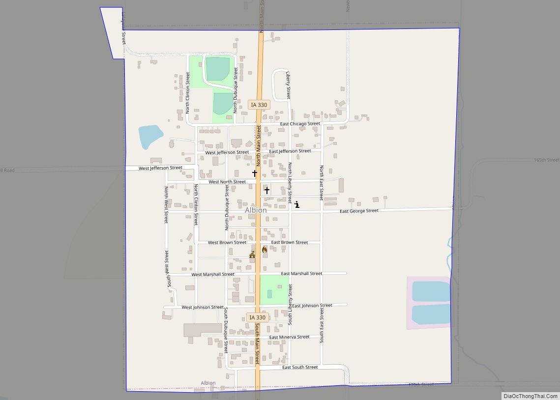
Haverhill Road Map
Haverhill city Satellite Map
Geography
According to the United States Census Bureau, the city has a total area of 0.13 square miles (0.34 km), all land.
See also
Map of Iowa State and its subdivision:- Adair
- Adams
- Allamakee
- Appanoose
- Audubon
- Benton
- Black Hawk
- Boone
- Bremer
- Buchanan
- Buena Vista
- Butler
- Calhoun
- Carroll
- Cass
- Cedar
- Cerro Gordo
- Cherokee
- Chickasaw
- Clarke
- Clay
- Clayton
- Clinton
- Crawford
- Dallas
- Davis
- Decatur
- Delaware
- Des Moines
- Dickinson
- Dubuque
- Emmet
- Fayette
- Floyd
- Franklin
- Fremont
- Greene
- Grundy
- Guthrie
- Hamilton
- Hancock
- Hardin
- Harrison
- Henry
- Howard
- Humboldt
- Ida
- Iowa
- Jackson
- Jasper
- Jefferson
- Johnson
- Jones
- Keokuk
- Kossuth
- Lee
- Linn
- Louisa
- Lucas
- Lyon
- Madison
- Mahaska
- Marion
- Marshall
- Mills
- Mitchell
- Monona
- Monroe
- Montgomery
- Muscatine
- O'Brien
- Osceola
- Page
- Palo Alto
- Plymouth
- Pocahontas
- Polk
- Pottawattamie
- Poweshiek
- Ringgold
- Sac
- Scott
- Shelby
- Sioux
- Story
- Tama
- Taylor
- Union
- Van Buren
- Wapello
- Warren
- Washington
- Wayne
- Webster
- Winnebago
- Winneshiek
- Woodbury
- Worth
- Wright
- Alabama
- Alaska
- Arizona
- Arkansas
- California
- Colorado
- Connecticut
- Delaware
- District of Columbia
- Florida
- Georgia
- Hawaii
- Idaho
- Illinois
- Indiana
- Iowa
- Kansas
- Kentucky
- Louisiana
- Maine
- Maryland
- Massachusetts
- Michigan
- Minnesota
- Mississippi
- Missouri
- Montana
- Nebraska
- Nevada
- New Hampshire
- New Jersey
- New Mexico
- New York
- North Carolina
- North Dakota
- Ohio
- Oklahoma
- Oregon
- Pennsylvania
- Rhode Island
- South Carolina
- South Dakota
- Tennessee
- Texas
- Utah
- Vermont
- Virginia
- Washington
- West Virginia
- Wisconsin
- Wyoming