Hawarden is a city in Sioux County, Iowa, United States. The population was 2,700 at the time of the 2020 census. It is located on the Big Sioux River.
| Name: | Hawarden city |
|---|---|
| LSAD Code: | 25 |
| LSAD Description: | city (suffix) |
| State: | Iowa |
| County: | Sioux County |
| Incorporated: | March 18, 1887 |
| Elevation: | 1,181 ft (360 m) |
| Total Area: | 2.92 sq mi (7.56 km²) |
| Land Area: | 2.78 sq mi (7.20 km²) |
| Water Area: | 0.14 sq mi (0.35 km²) |
| Total Population: | 2,700 |
| Population Density: | 970.87/sq mi (374.79/km²) |
| ZIP code: | 51011, 51023 |
| Area code: | 712 |
| FIPS code: | 1935265 |
| GNISfeature ID: | 0457324 |
Online Interactive Map
Click on ![]() to view map in "full screen" mode.
to view map in "full screen" mode.
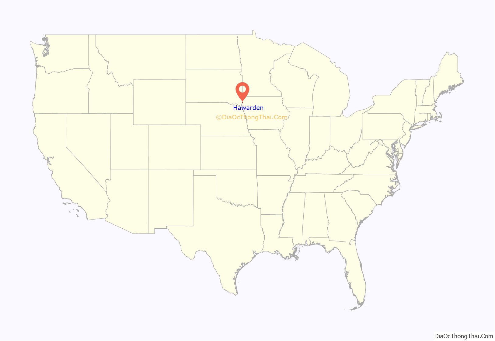
Hawarden location map. Where is Hawarden city?
History
Hawarden was platted in 1882. It was named for Hawarden Castle, the Welsh home of statesman William Gladstone. Hawarden was incorporated as a city on March 18, 1887.
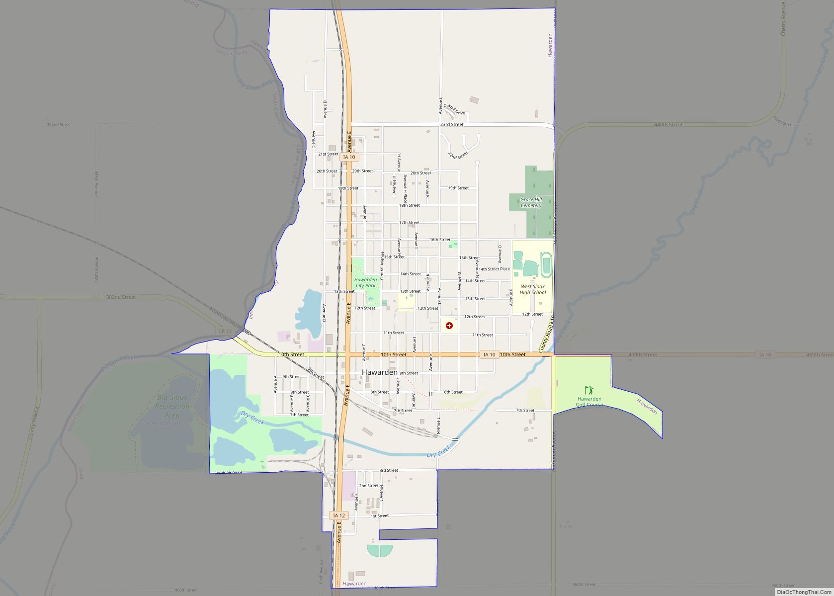
Hawarden Road Map
Hawarden city Satellite Map
Geography
Hawarden is located at 43°0′4″N 96°29′4″W / 43.00111°N 96.48444°W / 43.00111; -96.48444 (43.001145, -96.484541), along the Big Sioux River.
According to the United States Census Bureau, the city has a total area of 3.02 square miles (7.82 km), of which 2.89 square miles (7.49 km) is land and 0.13 square miles (0.34 km) is water.
Climate
Hawarden is located very near to the center of the North American continent, far removed from any major bodies of water. This lends the area a humid continental climate, with hot, humid summers, cold snowy winters, and wide temperature extremes. Summers can bring daytime temperatures that climb into the 90s Fahrenheit, and winter lows can be well below zero.
See also
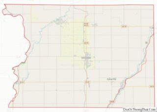
Map of Iowa State and its subdivision:- Adair
- Adams
- Allamakee
- Appanoose
- Audubon
- Benton
- Black Hawk
- Boone
- Bremer
- Buchanan
- Buena Vista
- Butler
- Calhoun
- Carroll
- Cass
- Cedar
- Cerro Gordo
- Cherokee
- Chickasaw
- Clarke
- Clay
- Clayton
- Clinton
- Crawford
- Dallas
- Davis
- Decatur
- Delaware
- Des Moines
- Dickinson
- Dubuque
- Emmet
- Fayette
- Floyd
- Franklin
- Fremont
- Greene
- Grundy
- Guthrie
- Hamilton
- Hancock
- Hardin
- Harrison
- Henry
- Howard
- Humboldt
- Ida
- Iowa
- Jackson
- Jasper
- Jefferson
- Johnson
- Jones
- Keokuk
- Kossuth
- Lee
- Linn
- Louisa
- Lucas
- Lyon
- Madison
- Mahaska
- Marion
- Marshall
- Mills
- Mitchell
- Monona
- Monroe
- Montgomery
- Muscatine
- O'Brien
- Osceola
- Page
- Palo Alto
- Plymouth
- Pocahontas
- Polk
- Pottawattamie
- Poweshiek
- Ringgold
- Sac
- Scott
- Shelby
- Sioux
- Story
- Tama
- Taylor
- Union
- Van Buren
- Wapello
- Warren
- Washington
- Wayne
- Webster
- Winnebago
- Winneshiek
- Woodbury
- Worth
- Wright
- Alabama
- Alaska
- Arizona
- Arkansas
- California
- Colorado
- Connecticut
- Delaware
- District of Columbia
- Florida
- Georgia
- Hawaii
- Idaho
- Illinois
- Indiana
- Iowa
- Kansas
- Kentucky
- Louisiana
- Maine
- Maryland
- Massachusetts
- Michigan
- Minnesota
- Mississippi
- Missouri
- Montana
- Nebraska
- Nevada
- New Hampshire
- New Jersey
- New Mexico
- New York
- North Carolina
- North Dakota
- Ohio
- Oklahoma
- Oregon
- Pennsylvania
- Rhode Island
- South Carolina
- South Dakota
- Tennessee
- Texas
- Utah
- Vermont
- Virginia
- Washington
- West Virginia
- Wisconsin
- Wyoming
