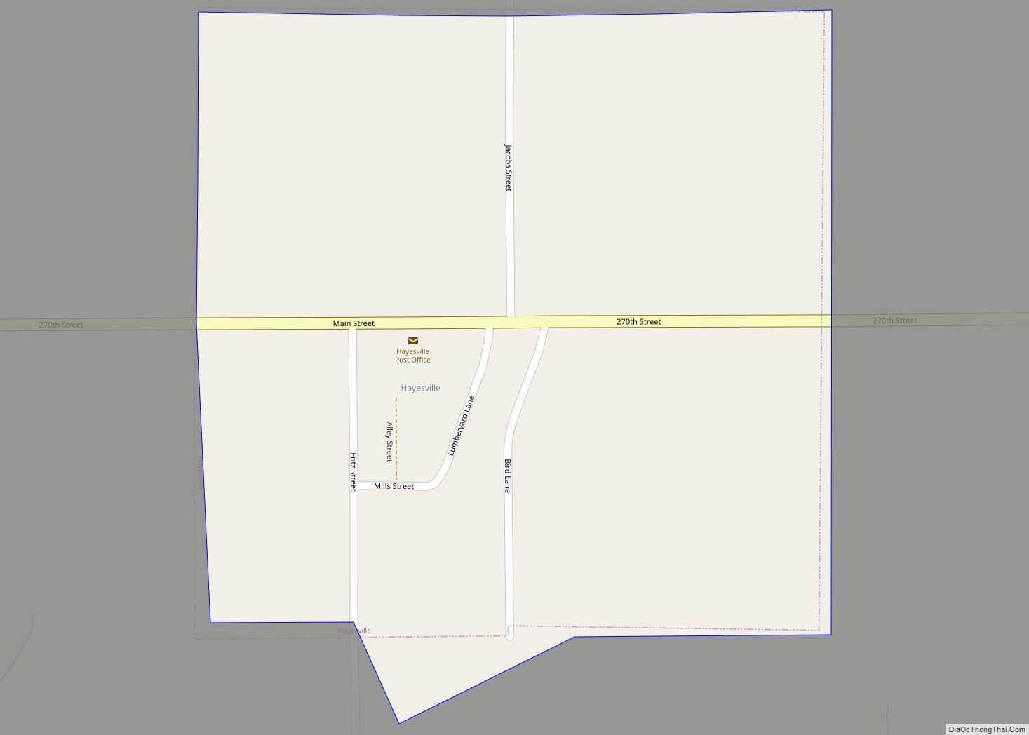
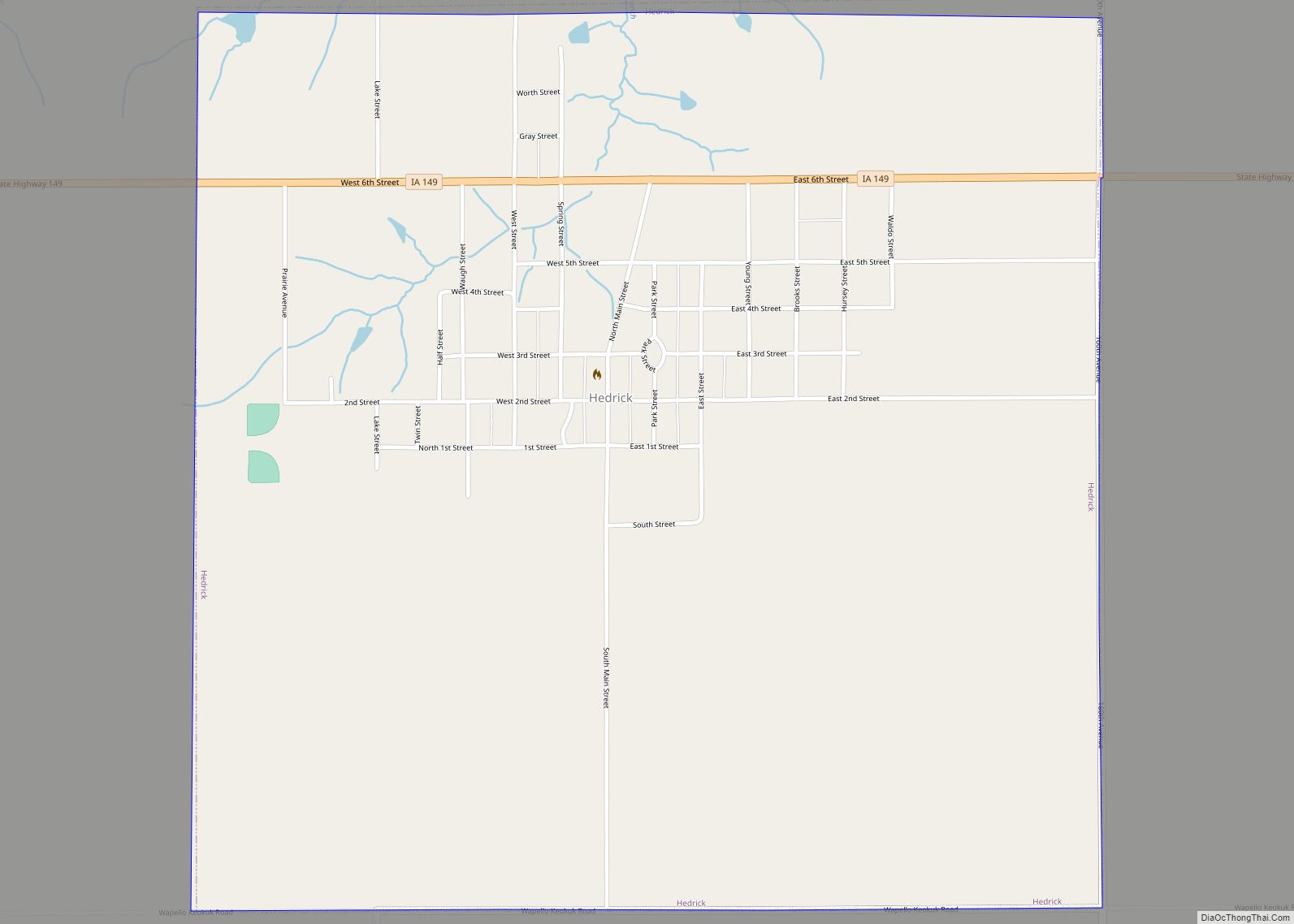
Hedrick is a city in Keokuk County, Iowa, United States. The population was 728 at the time of the 2020 census.
| Name: | Hedrick city |
|---|---|
| LSAD Code: | 25 |
| LSAD Description: | city (suffix) |
| State: | Iowa |
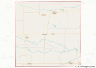
| County: | Keokuk County |
| Elevation: | 820 ft (250 m) |
| Total Area: | 1.56 sq mi (4.03 km²) |
| Land Area: | 1.56 sq mi (4.03 km²) |
| Water Area: | 0.00 sq mi (0.00 km²) |
| Total Population: | 728 |
| Population Density: | 467.27/sq mi (180.43/km²) |
| ZIP code: | 52563 |
| Area code: | 641 |
| FIPS code: | 1935670 |
| GNISfeature ID: | 0457375 |
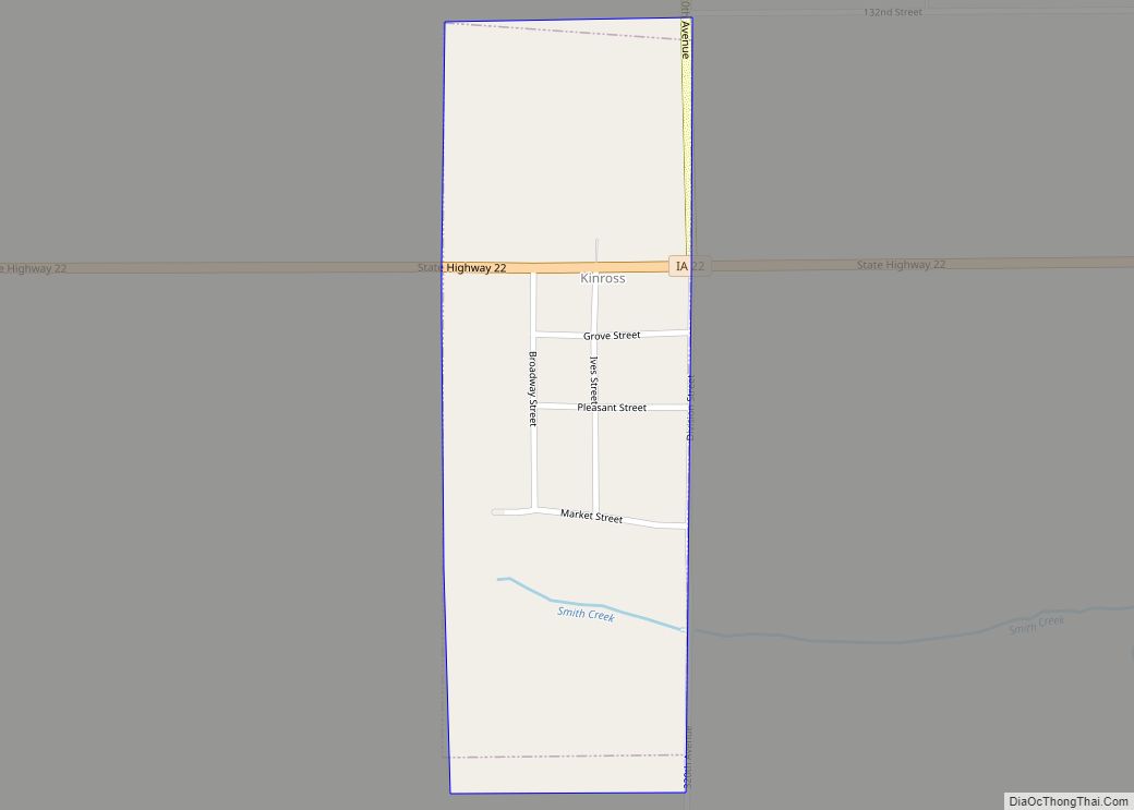
Online Interactive Map
Click on ![]() to view map in "full screen" mode.
to view map in "full screen" mode.
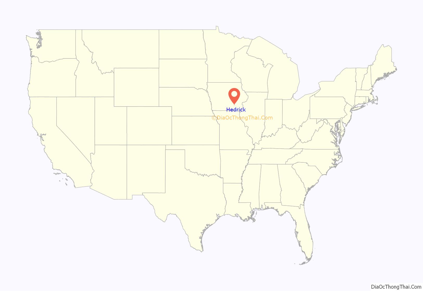
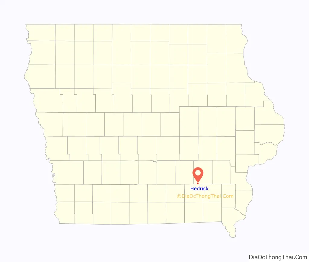
Hedrick location map. Where is Hedrick city?
History
In 1882, the Burlington and Western Railway a narrow gauge line, and its competitor, the Iowa Central Railway, built competing east–west lines through the area. These crossed the Rock Island tracks here, so it was a natural location for a station and town.
Hedrick was incorporated on April 23, 1883. It was named for General Hedrick.
The Burlington and Western was widened to standard gauge in 1902 and merged into the Chicago, Burlington and Quincy a year later. The Minneapolis and St. Louis took over the Iowa Central around the same time, and the Burlington line was abandoned in 1934.
By 1991 several businesses in the community’s main street closed, and the economy had declined. The school serving the town closed that year.
In 2023, the city was struck by an EF-4 rated tornado.
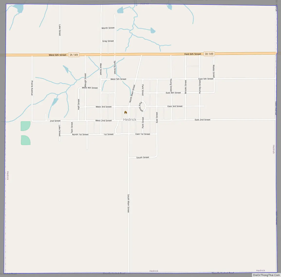
Hedrick Road Map
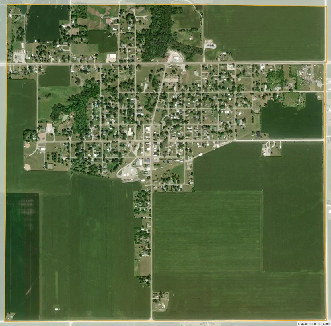
Hedrick city Satellite Map
Geography
Hedrick is located at 41°10′25″N 92°18′30″W / 41.17361°N 92.30833°W / 41.17361; -92.30833 (41.173733, -92.308294).
According to the United States Census Bureau, the city has a total area of 1.53 square miles (3.96 km), all of it land.
See also
Map of Iowa State and its subdivision:- Adair
- Adams
- Allamakee
- Appanoose
- Audubon
- Benton
- Black Hawk
- Boone
- Bremer
- Buchanan
- Buena Vista
- Butler
- Calhoun
- Carroll
- Cass
- Cedar
- Cerro Gordo
- Cherokee
- Chickasaw
- Clarke
- Clay
- Clayton
- Clinton
- Crawford
- Dallas
- Davis
- Decatur
- Delaware
- Des Moines
- Dickinson
- Dubuque
- Emmet
- Fayette
- Floyd
- Franklin
- Fremont
- Greene
- Grundy
- Guthrie
- Hamilton
- Hancock
- Hardin
- Harrison
- Henry
- Howard
- Humboldt
- Ida
- Iowa
- Jackson
- Jasper
- Jefferson
- Johnson
- Jones
- Keokuk
- Kossuth
- Lee
- Linn
- Louisa
- Lucas
- Lyon
- Madison
- Mahaska
- Marion
- Marshall
- Mills
- Mitchell
- Monona
- Monroe
- Montgomery
- Muscatine
- O'Brien
- Osceola
- Page
- Palo Alto
- Plymouth
- Pocahontas
- Polk
- Pottawattamie
- Poweshiek
- Ringgold
- Sac
- Scott
- Shelby
- Sioux
- Story
- Tama
- Taylor
- Union
- Van Buren
- Wapello
- Warren
- Washington
- Wayne
- Webster
- Winnebago
- Winneshiek
- Woodbury
- Worth
- Wright
- Alabama
- Alaska
- Arizona
- Arkansas
- California
- Colorado
- Connecticut
- Delaware
- District of Columbia
- Florida
- Georgia
- Hawaii
- Idaho
- Illinois
- Indiana
- Iowa
- Kansas
- Kentucky
- Louisiana
- Maine
- Maryland
- Massachusetts
- Michigan
- Minnesota
- Mississippi
- Missouri
- Montana
- Nebraska
- Nevada
- New Hampshire
- New Jersey
- New Mexico
- New York
- North Carolina
- North Dakota
- Ohio
- Oklahoma
- Oregon
- Pennsylvania
- Rhode Island
- South Carolina
- South Dakota
- Tennessee
- Texas
- Utah
- Vermont
- Virginia
- Washington
- West Virginia
- Wisconsin
- Wyoming