Hull is a city in Sioux County, Iowa. The population was 2,384 at the time of the 2020 census.
| Name: | Hull city |
|---|---|
| LSAD Code: | 25 |
| LSAD Description: | city (suffix) |
| State: | Iowa |
| County: | Sioux County |
| Incorporated: | May 15, 1886 |
| Elevation: | 1,440 ft (439 m) |
| Total Area: | 1.41 sq mi (3.64 km²) |
| Land Area: | 1.41 sq mi (3.64 km²) |
| Water Area: | 0.00 sq mi (0.00 km²) |
| Total Population: | 2,384 |
| Population Density: | 1,695.59/sq mi (654.87/km²) |
| ZIP code: | 51239 |
| Area code: | 712 |
| FIPS code: | 1937515 |
| GNISfeature ID: | 0457713 |
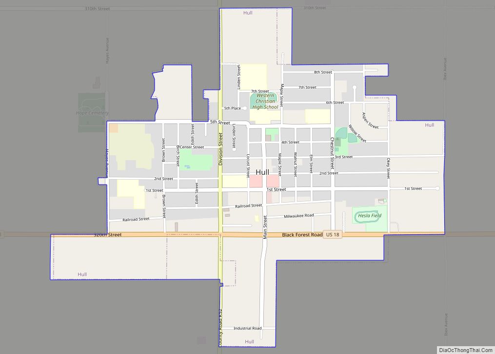
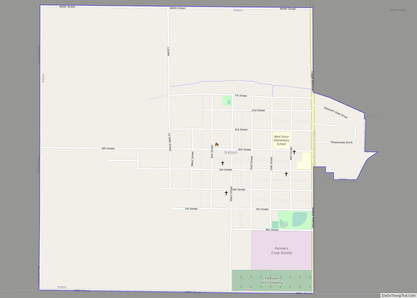
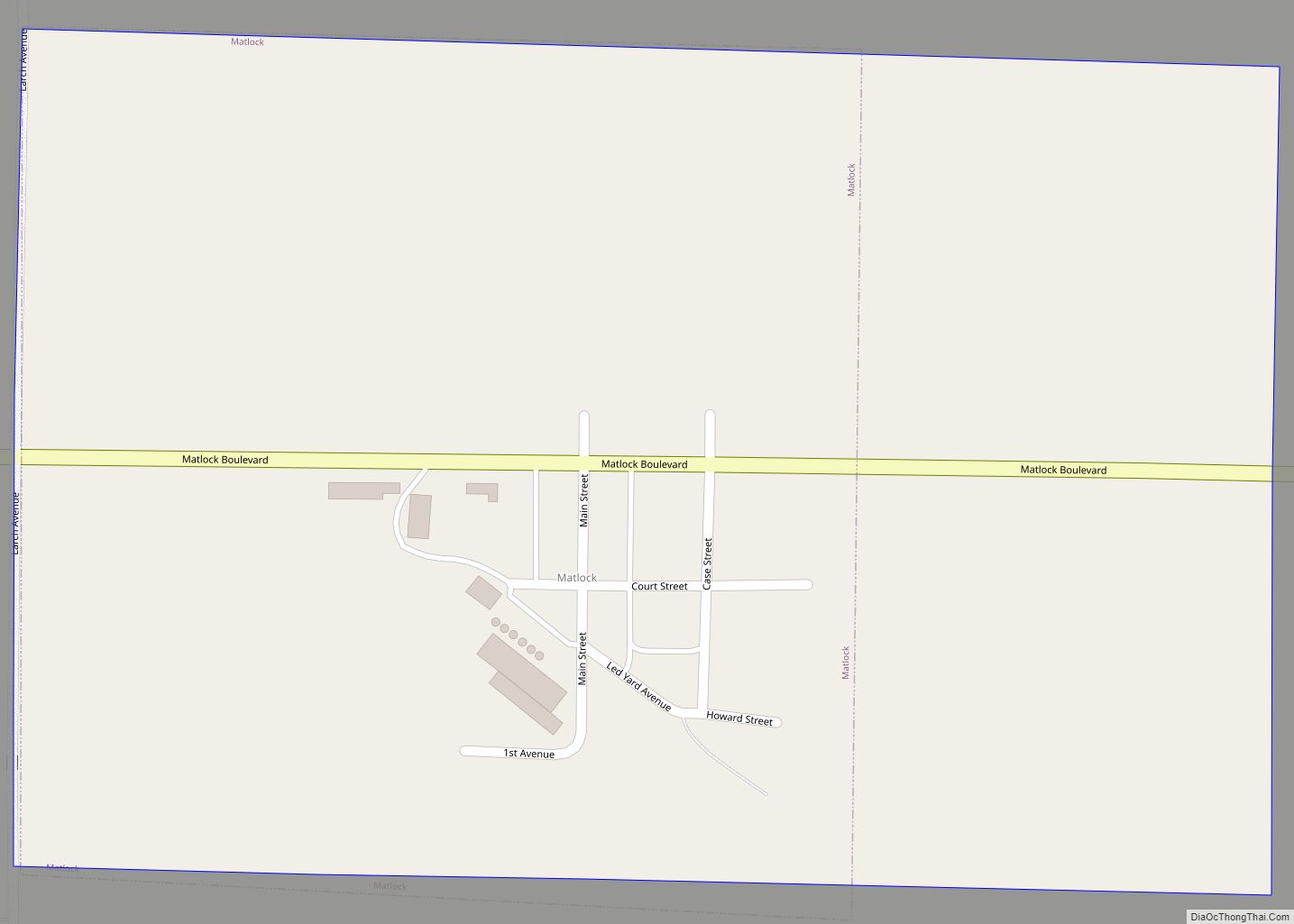
Online Interactive Map
Click on ![]() to view map in "full screen" mode.
to view map in "full screen" mode.
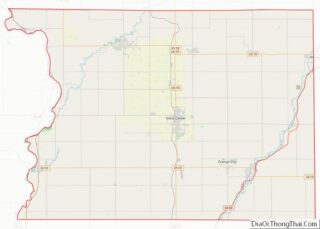
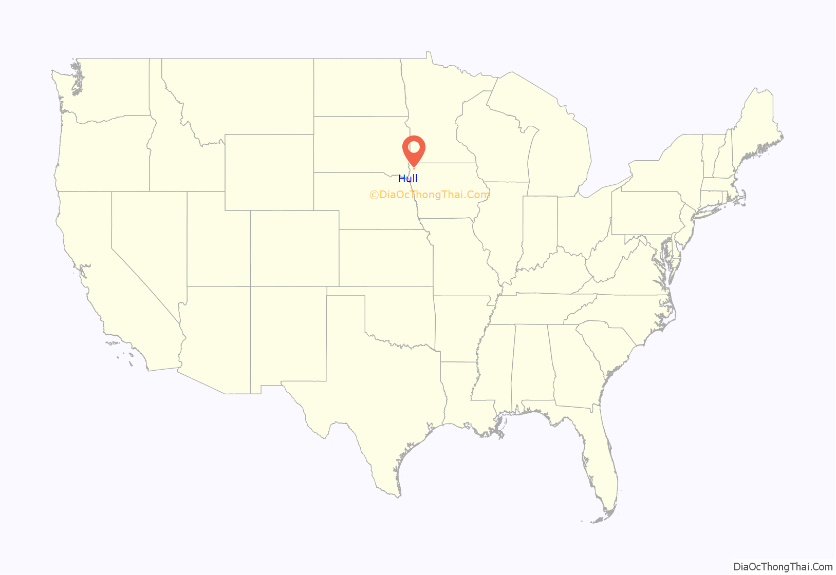
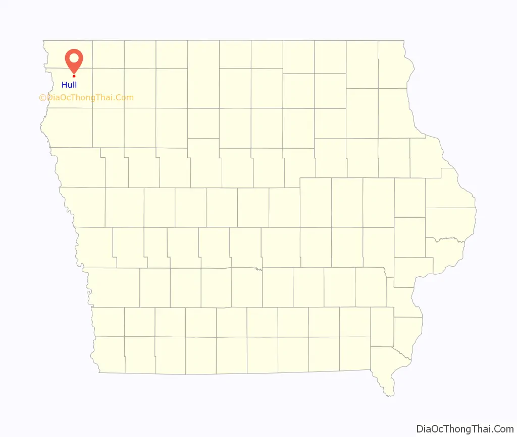
Hull location map. Where is Hull city?
History
The first settlers in the Hull area arrived in 1872. The city was incorporated on May 15, 1886. Hull was named for John A. T. Hull, a member of the United States House of Representatives from Iowa. It was previously named Pattersonville for John G. Patterson, before changing its name to Winland then finally Hull in the 1880s.
In 1993, The Foreign Candy Company of Hull became the first American firm to import Warheads (candy).
In 2004, Hull received a $400,000 grant from Vision Iowa to build the Pattersonville Park and Cultural Center. Some of the money was returned in 2011 because the park had not been constructed.
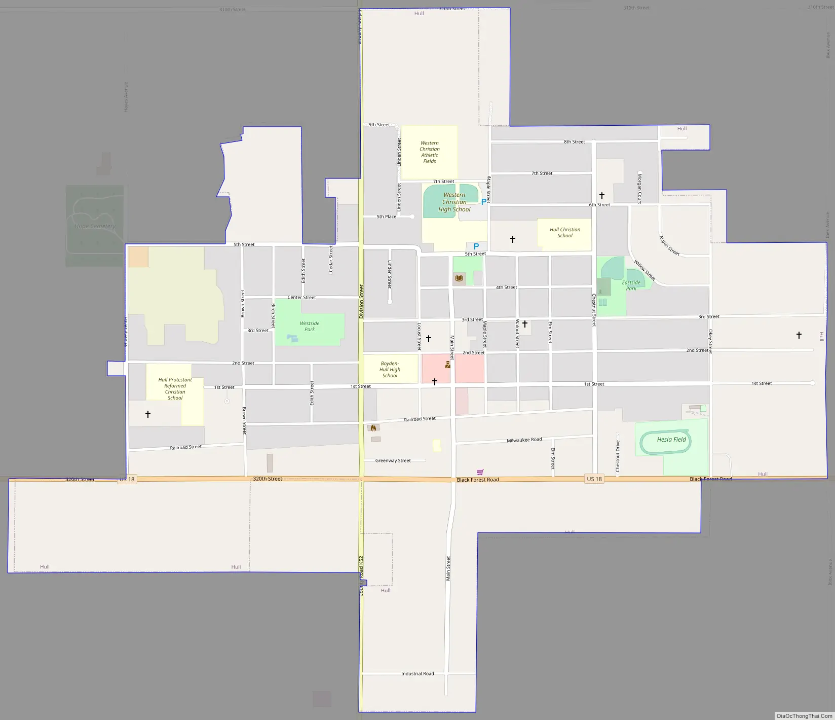
Hull Road Map
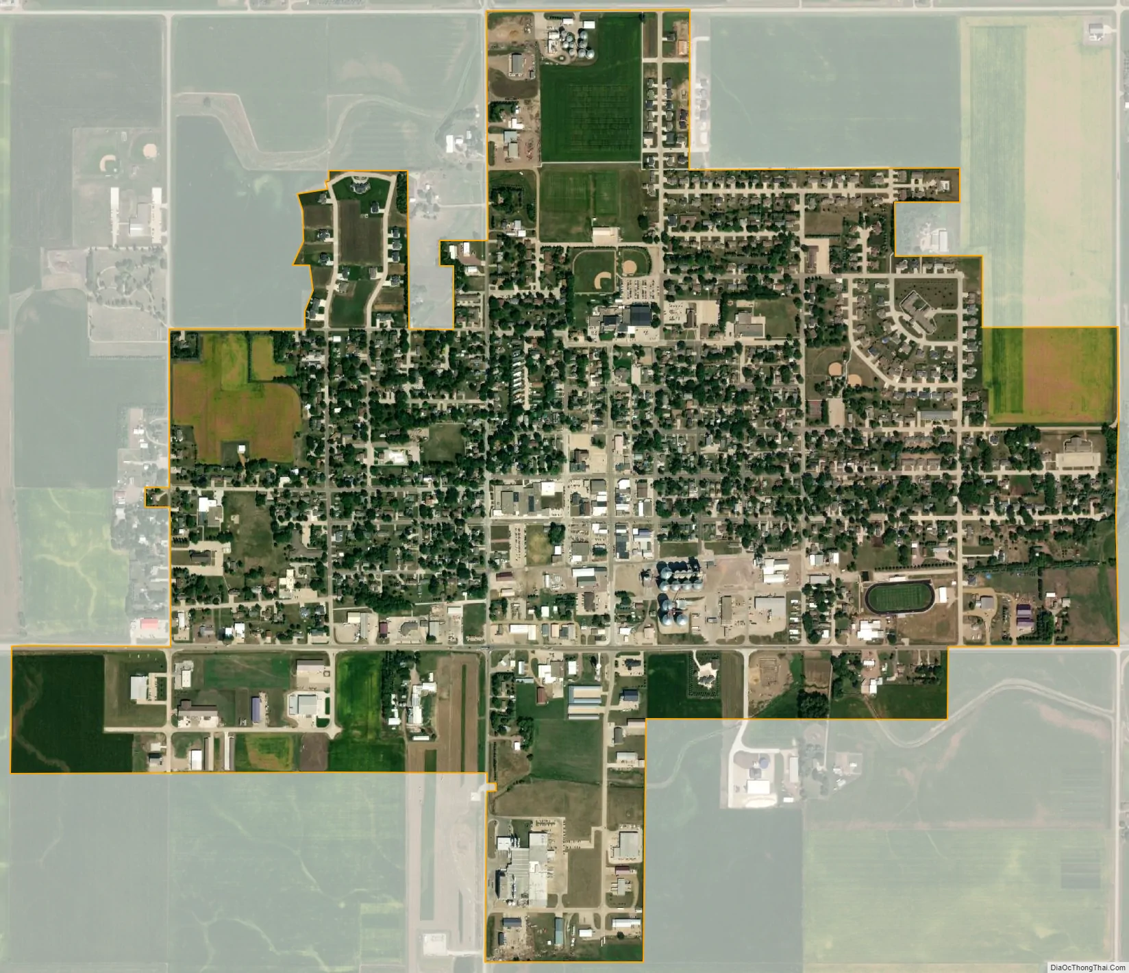
Hull city Satellite Map
Geography
Hull is located at 43°11′25″N 96°8′4″W / 43.19028°N 96.13444°W / 43.19028; -96.13444 (43.190203, -96.134390).
According to the United States Census Bureau, the city has a total area of 1.20 square miles (3.11 km), all land.
See also
Map of Iowa State and its subdivision:- Adair
- Adams
- Allamakee
- Appanoose
- Audubon
- Benton
- Black Hawk
- Boone
- Bremer
- Buchanan
- Buena Vista
- Butler
- Calhoun
- Carroll
- Cass
- Cedar
- Cerro Gordo
- Cherokee
- Chickasaw
- Clarke
- Clay
- Clayton
- Clinton
- Crawford
- Dallas
- Davis
- Decatur
- Delaware
- Des Moines
- Dickinson
- Dubuque
- Emmet
- Fayette
- Floyd
- Franklin
- Fremont
- Greene
- Grundy
- Guthrie
- Hamilton
- Hancock
- Hardin
- Harrison
- Henry
- Howard
- Humboldt
- Ida
- Iowa
- Jackson
- Jasper
- Jefferson
- Johnson
- Jones
- Keokuk
- Kossuth
- Lee
- Linn
- Louisa
- Lucas
- Lyon
- Madison
- Mahaska
- Marion
- Marshall
- Mills
- Mitchell
- Monona
- Monroe
- Montgomery
- Muscatine
- O'Brien
- Osceola
- Page
- Palo Alto
- Plymouth
- Pocahontas
- Polk
- Pottawattamie
- Poweshiek
- Ringgold
- Sac
- Scott
- Shelby
- Sioux
- Story
- Tama
- Taylor
- Union
- Van Buren
- Wapello
- Warren
- Washington
- Wayne
- Webster
- Winnebago
- Winneshiek
- Woodbury
- Worth
- Wright
- Alabama
- Alaska
- Arizona
- Arkansas
- California
- Colorado
- Connecticut
- Delaware
- District of Columbia
- Florida
- Georgia
- Hawaii
- Idaho
- Illinois
- Indiana
- Iowa
- Kansas
- Kentucky
- Louisiana
- Maine
- Maryland
- Massachusetts
- Michigan
- Minnesota
- Mississippi
- Missouri
- Montana
- Nebraska
- Nevada
- New Hampshire
- New Jersey
- New Mexico
- New York
- North Carolina
- North Dakota
- Ohio
- Oklahoma
- Oregon
- Pennsylvania
- Rhode Island
- South Carolina
- South Dakota
- Tennessee
- Texas
- Utah
- Vermont
- Virginia
- Washington
- West Virginia
- Wisconsin
- Wyoming